Cople
Civil Parish in Bedfordshire
England
Cople

Cople is a civil parish located in the county of Bedfordshire, England. It is situated approximately 6 miles east of Bedford and covers an area of around 4.5 square miles. The parish is bordered by the villages of Cardington, Willington, and Northill.
Cople has a population of around 500 residents, according to the latest census data. The village is known for its picturesque countryside and charming rural setting. It is surrounded by fields and farmland, providing a peaceful and tranquil atmosphere.
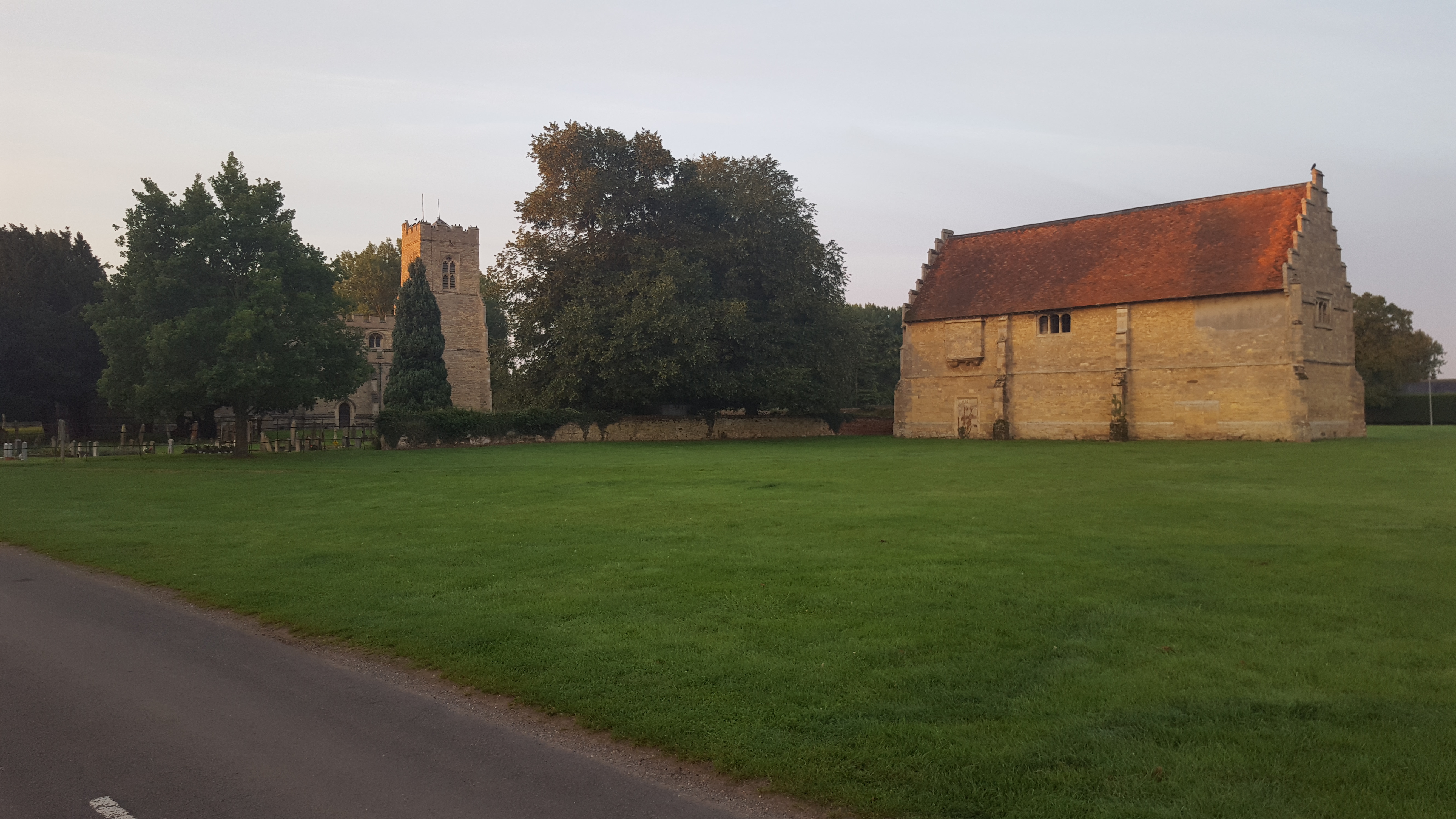
The village itself is small and primarily residential, with a few local amenities such as a village hall and a pub. The historic St. Lawrence Church is a notable landmark in Cople, dating back to the 12th century. It is a beautiful example of Norman architecture and attracts visitors interested in history and architecture.
Cople is well-connected to nearby towns and cities, with good road links to Bedford and Cambridge. The A603 road passes through the village, providing easy access for commuters and visitors.
The parish has a strong sense of community, with various social and recreational activities organized by local groups and organizations. The countryside surrounding Cople offers opportunities for outdoor activities such as walking, cycling, and horse riding.
Overall, Cople is a charming and peaceful village in Bedfordshire, offering a rural lifestyle with good access to nearby towns and cities.
If you have any feedback on the listing, please let us know in the comments section below.
Cople Images
Images are sourced within 2km of 52.119478/-0.383647 or Grid Reference TL1048. Thanks to Geograph Open Source API. All images are credited.


Cople is located at Grid Ref: TL1048 (Lat: 52.119478, Lng: -0.383647)
Unitary Authority: Bedford
Police Authority: Bedfordshire
What 3 Words
///claims.bullion.firms. Near Cople, Bedfordshire
Related Wikis

Cople
Cople is a village and civil parish in the English county of Bedfordshire. The name Cople is derived from the phrase Cock Pool, a place where chickens...
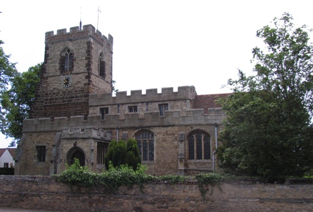
Church of All Saints, Cople
Church of All Saints is a Grade I listed church in Cople, Bedfordshire, England. It became a listed building on 13 July 1964. The church, dedicated to...
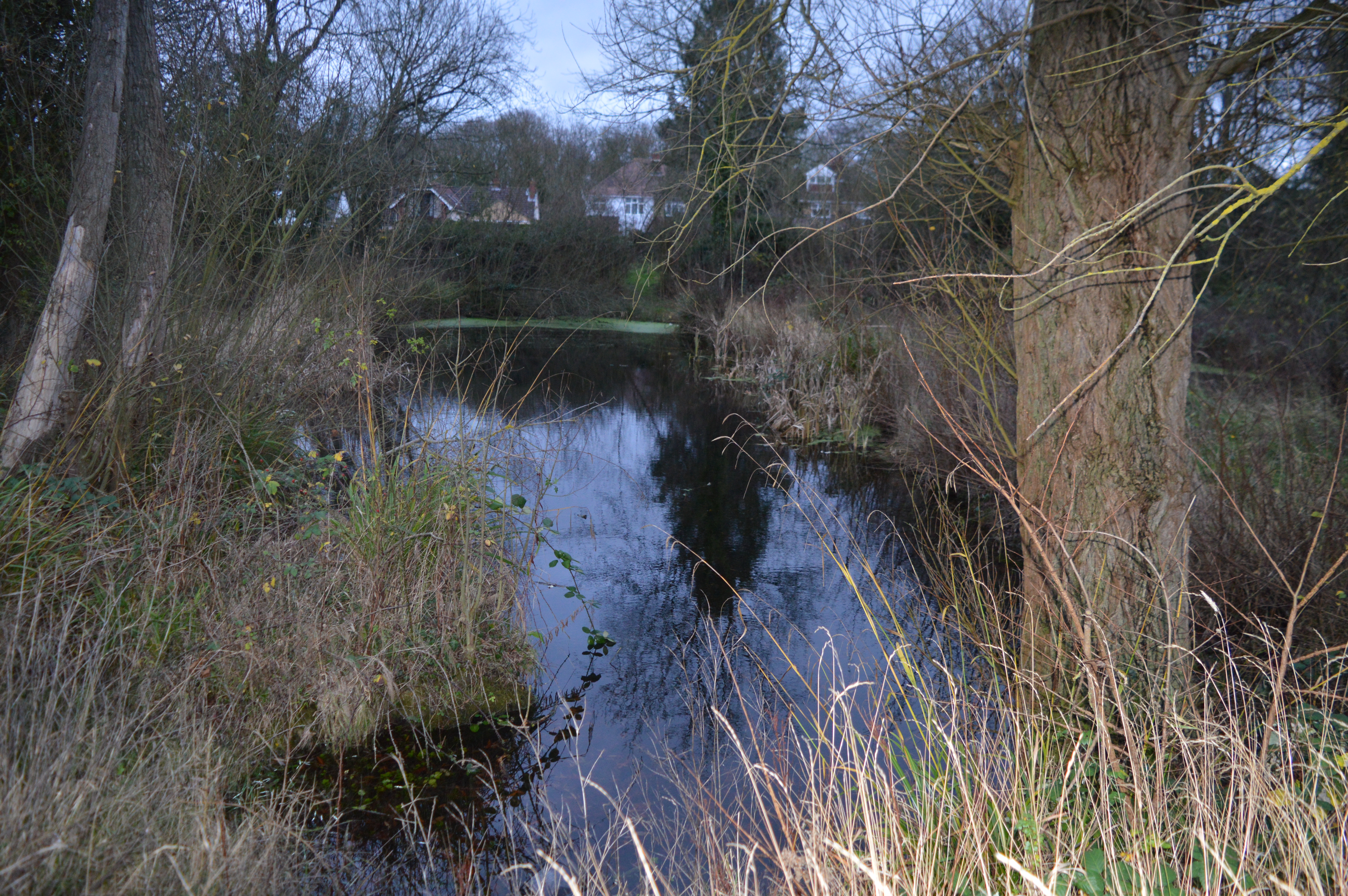
Cople Pits
Cople Pits is a 2-hectare (4.9-acre) nature reserve in Cople in Bedfordshire. It is managed by the Wildlife Trust for Bedfordshire, Cambridgeshire and...
Willington, Bedfordshire
Willington is a village and civil parish located in the English county of Bedfordshire. It is west of Moggerhanger on the road from Sandy to Bedford. The...
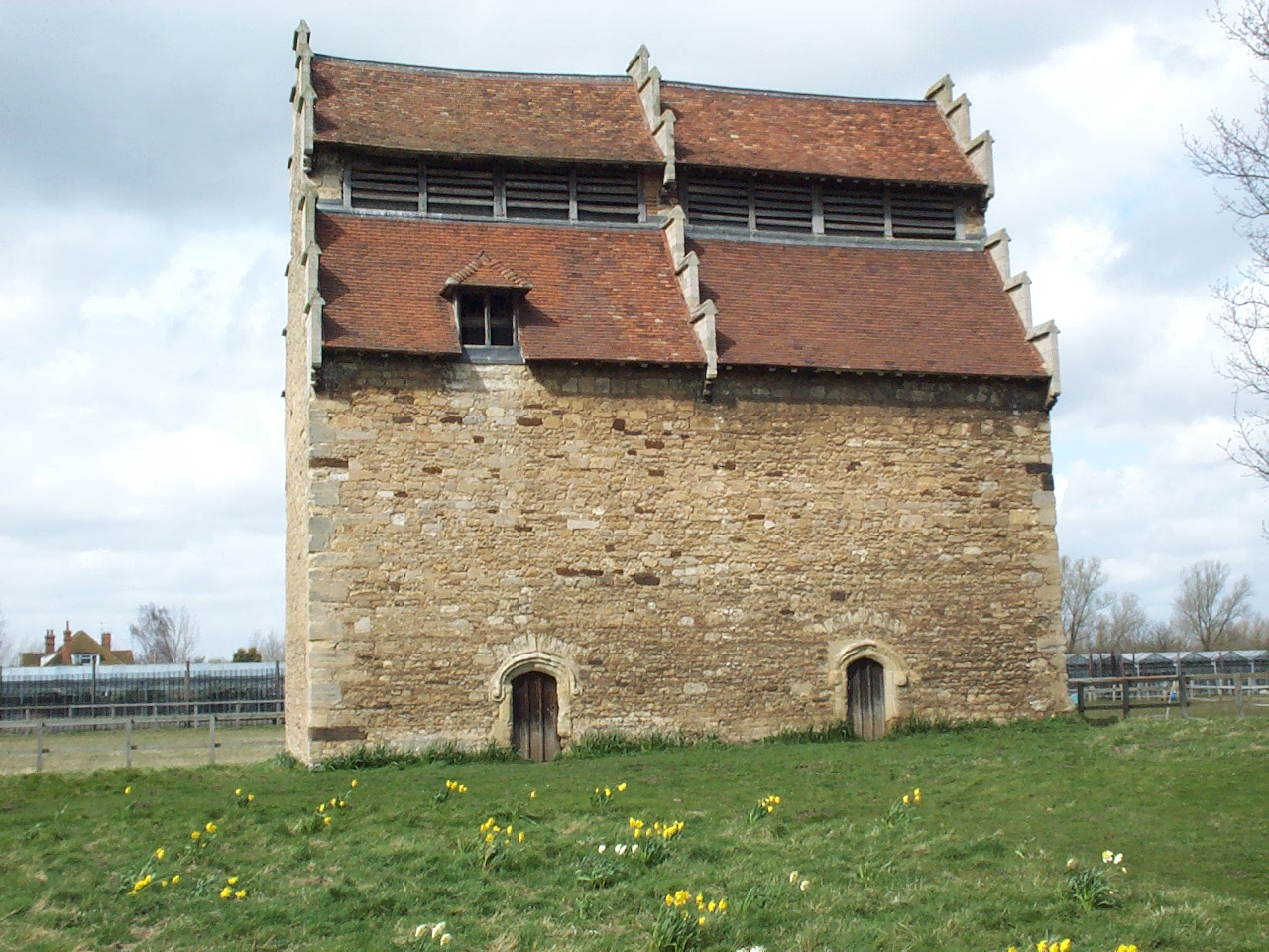
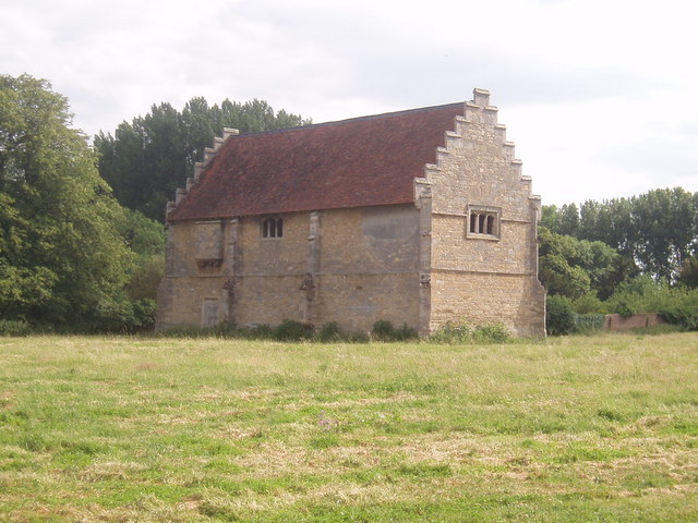
Willington Dovecote and Stables
Willington Dovecote & Stables is a National Trust property located in Willington, near Bedford, Bedfordshire, England. Both buildings are Grade I listed...

Cardington Workmen's Platform railway station
Cardington Workmen's Platform was a railway station on the Bedford to Hitchin Line which served the Royal Air Force station near the village of Cardington...

Cardington, Bedfordshire
Cardington is a village and civil parish in the Borough of Bedford in Bedfordshire, England. Part of the ancient hundred of Wixamtree, the settlement is...
Willington railway station (Bedfordshire)
Willington was a railway station on the Varsity Line which served the small village of the same name in Bedfordshire. Opened in 1903, the station was located...
Nearby Amenities
Located within 500m of 52.119478,-0.383647Have you been to Cople?
Leave your review of Cople below (or comments, questions and feedback).