Copford
Civil Parish in Essex Colchester
England
Copford

The requested URL returned error: 429 Too Many Requests
If you have any feedback on the listing, please let us know in the comments section below.
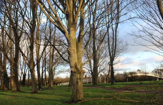
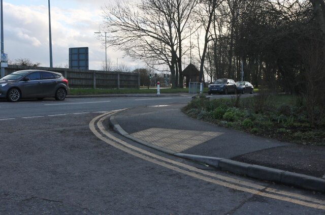
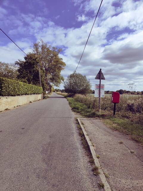
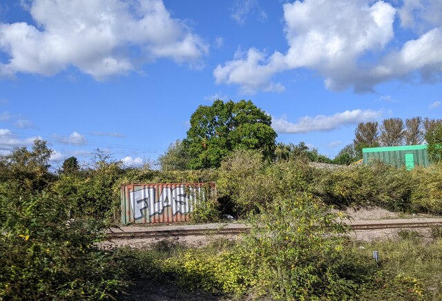
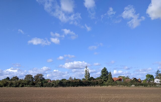
Copford Images
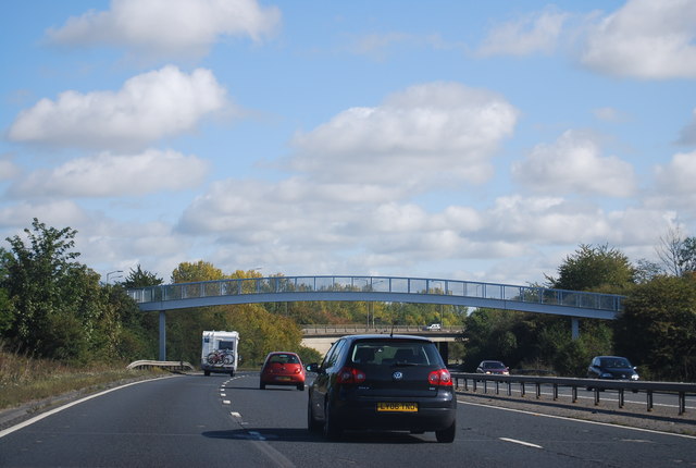
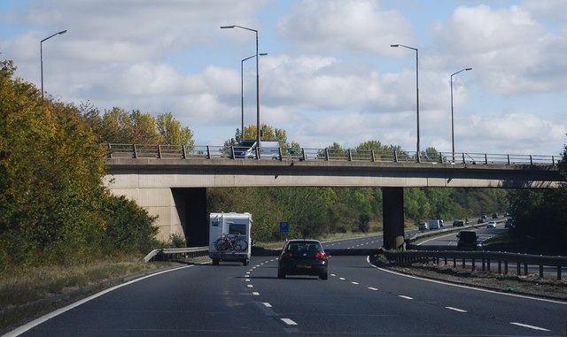
Images are sourced within 2km of 51.86531/0.783814 or Grid Reference TL9122. Thanks to Geograph Open Source API. All images are credited.


Copford is located at Grid Ref: TL9122 (Lat: 51.86531, Lng: 0.783814)
Administrative County: Essex
District: Colchester
Police Authority: Essex
What 3 Words
///announced.sushi.roughest. Near Marks Tey, Essex
Nearby Locations
Related Wikis

Copford Green
Copford Green is a hamlet within the civil parish of Copford and the district of Colchester in Essex, England. It is near the A12 and A120 roads, and is...

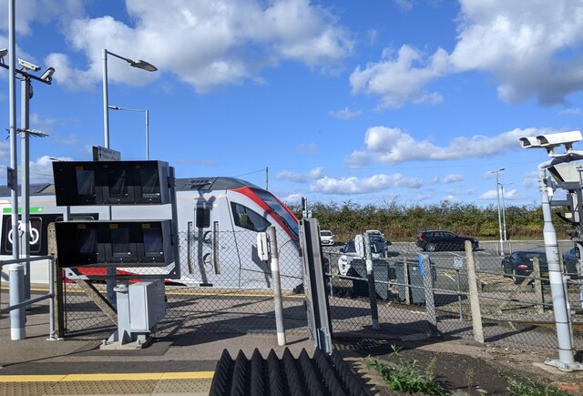
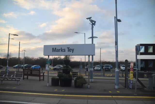
Marks Tey
Marks Tey is a large village and electoral ward in Essex, England; it is located six miles west of Colchester. == Facilities == Marks Tey is one of a...

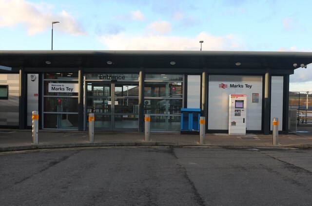
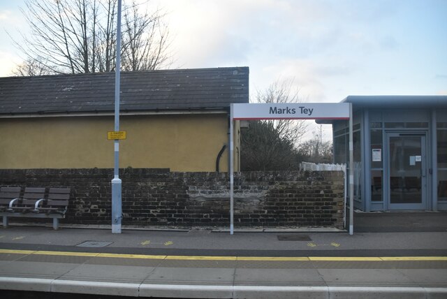
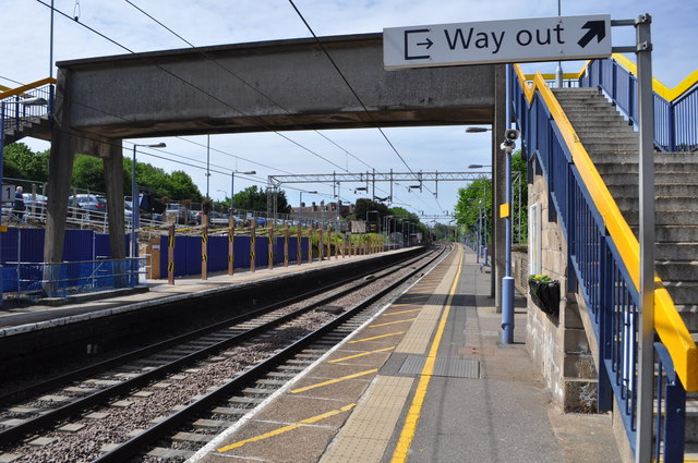
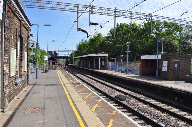
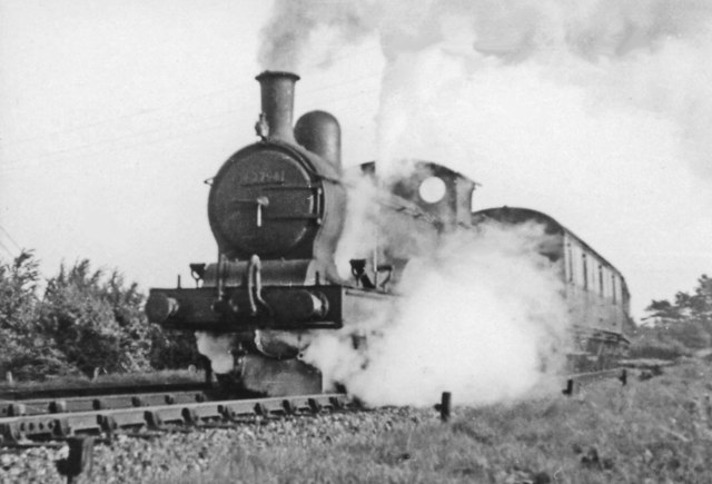
Marks Tey railway station
Marks Tey railway station is on the Great Eastern Main Line (GEML) in the East of England, serving the large village of Marks Tey, Essex. It is 46 miles...
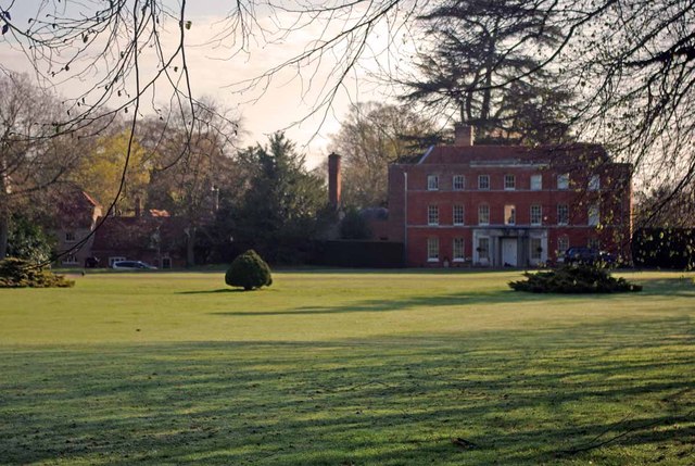
Copford Hall
Copford Hall is a manorial seat and Grade II listed country house, with gardens by Capability Brown, in the village of Copford, Essex, England, 46 miles...
Have you been to Copford?
Leave your review of Copford below (or comments, questions and feedback).