Copdock and Washbrook
Civil Parish in Suffolk Babergh
England
Copdock and Washbrook
Copdock and Washbrook is a civil parish located in the county of Suffolk, England. Situated approximately 4 miles south of Ipswich, the parish covers an area of around 9 square kilometers and has a population of approximately 1,500 residents.
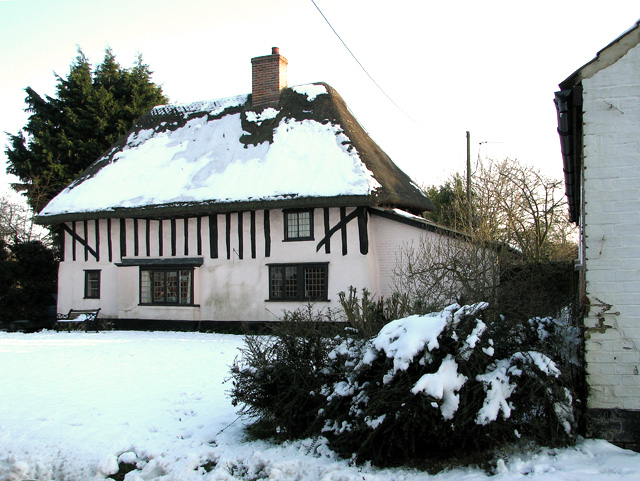
The parish is made up of two main settlements, Copdock and Washbrook. Copdock is a small village situated on the A12 road, which connects Ipswich and London. The village has a picturesque appearance with its traditional thatched cottages and historic buildings. It is home to a church, a primary school, and a village hall, which serves as a community hub for various events and activities.
Washbrook, on the other hand, is a predominantly residential area located to the east of Copdock. It consists of modern housing estates, providing a mix of detached and semi-detached properties. The area is known for its peaceful and family-friendly atmosphere.
Both Copdock and Washbrook benefit from their close proximity to Ipswich, which offers a wide range of amenities, including shopping centers, leisure facilities, and cultural attractions. The transport links in the area are also excellent, with regular bus services connecting the parish to Ipswich and surrounding towns.
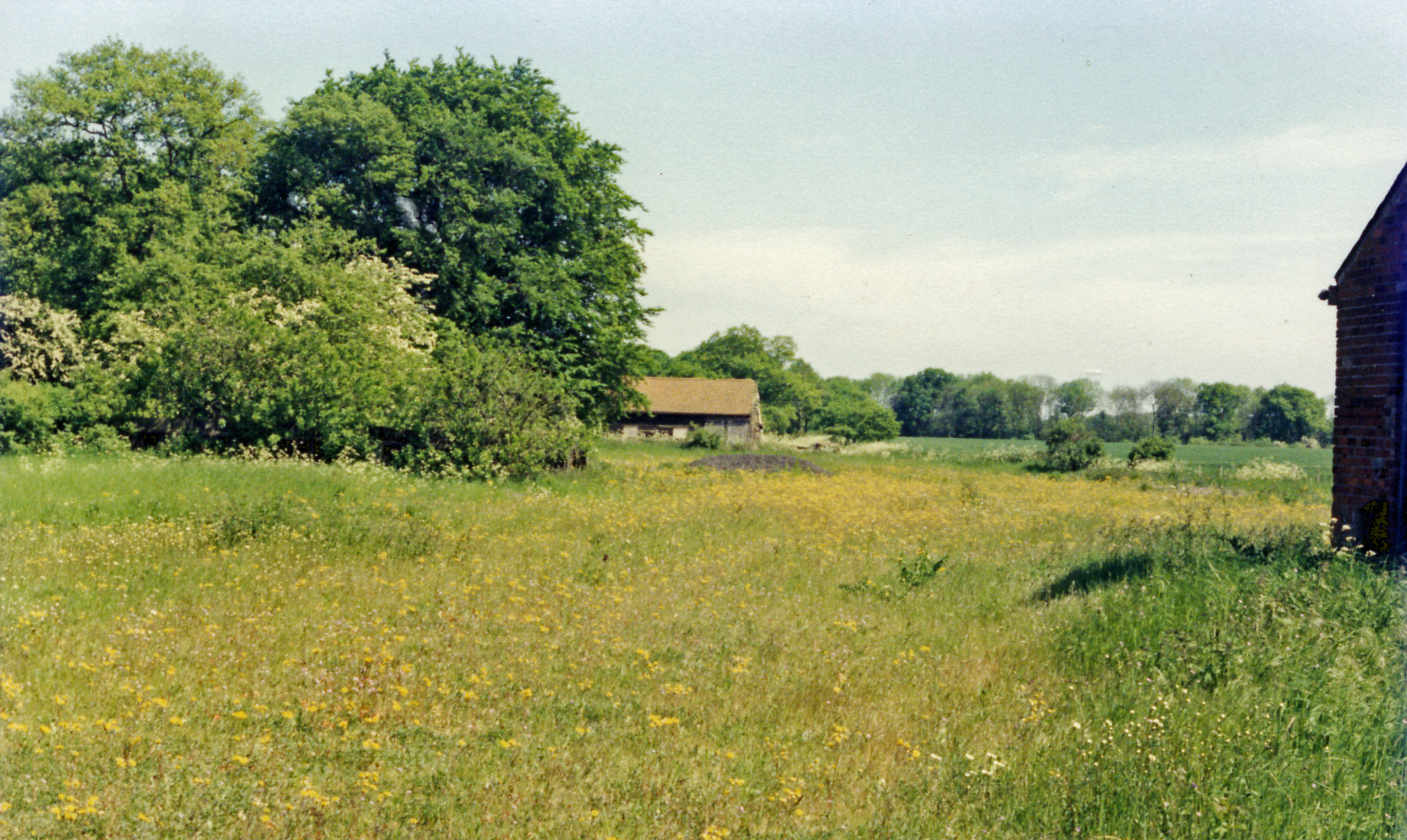
The parish is surrounded by beautiful countryside, offering opportunities for outdoor activities such as walking, cycling, and horse riding. The nearby River Orwell provides a scenic backdrop for leisurely walks and boating activities.
Overall, Copdock and Washbrook is a charming civil parish with a strong sense of community, offering a peaceful and picturesque living environment within easy reach of larger towns and amenities.
If you have any feedback on the listing, please let us know in the comments section below.
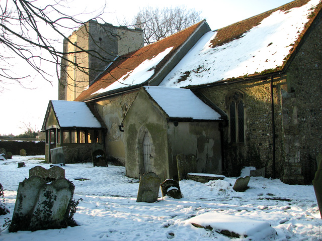
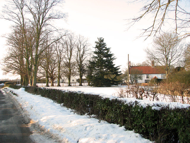
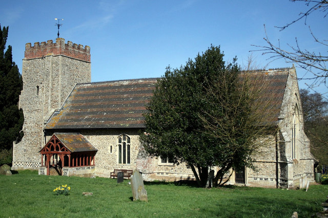
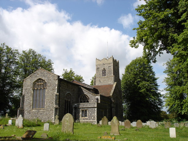
Copdock and Washbrook Images
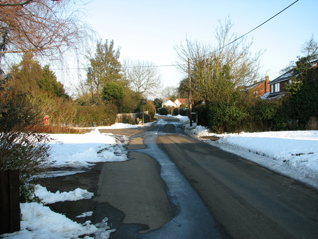
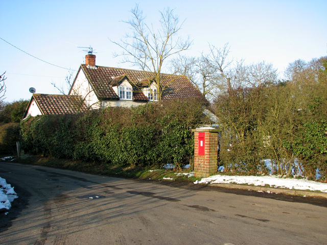
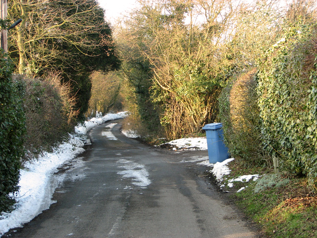
Images are sourced within 2km of 52.029981/1.069963 or Grid Reference TM1041. Thanks to Geograph Open Source API. All images are credited.


Copdock and Washbrook is located at Grid Ref: TM1041 (Lat: 52.029981, Lng: 1.069963)
Administrative County: Suffolk
District: Babergh
Police Authority: Suffolk
What 3 Words
///dragons.digestion.contact. Near Capel St Mary, Suffolk
Nearby Locations
Related Wikis
Copdock and Washbrook
Copdock and Washbrook is a civil parish in the Babergh district in the county of Suffolk, England. It covers the villages of Copdock and Washbrook, as...
Copdock
Copdock is a village and former civil parish, now in the parish of Copdock and Washbrook, in the Babergh district, in the county of Suffolk, England. In...

Old London Road
Old London Road is a cricket ground in Copdock, Suffolk. The first recorded match on the ground was in 1847, when the Gentlemen of Suffolk played the...
Washbrook
Washbrook is a village and former civil parish 3 miles (4.8 km) south west of Ipswich, now in the parish of Copdock and Washbrook, in the Babergh district...
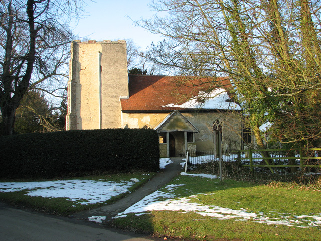
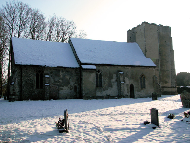
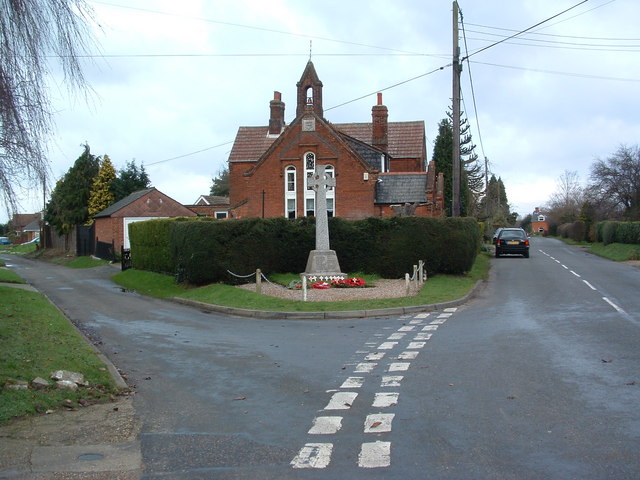
St Mary's Church, Washbrook
St Mary's Church is a redundant Anglican church in the village of Washbrook, Suffolk, England. It is recorded in the National Heritage List for England...
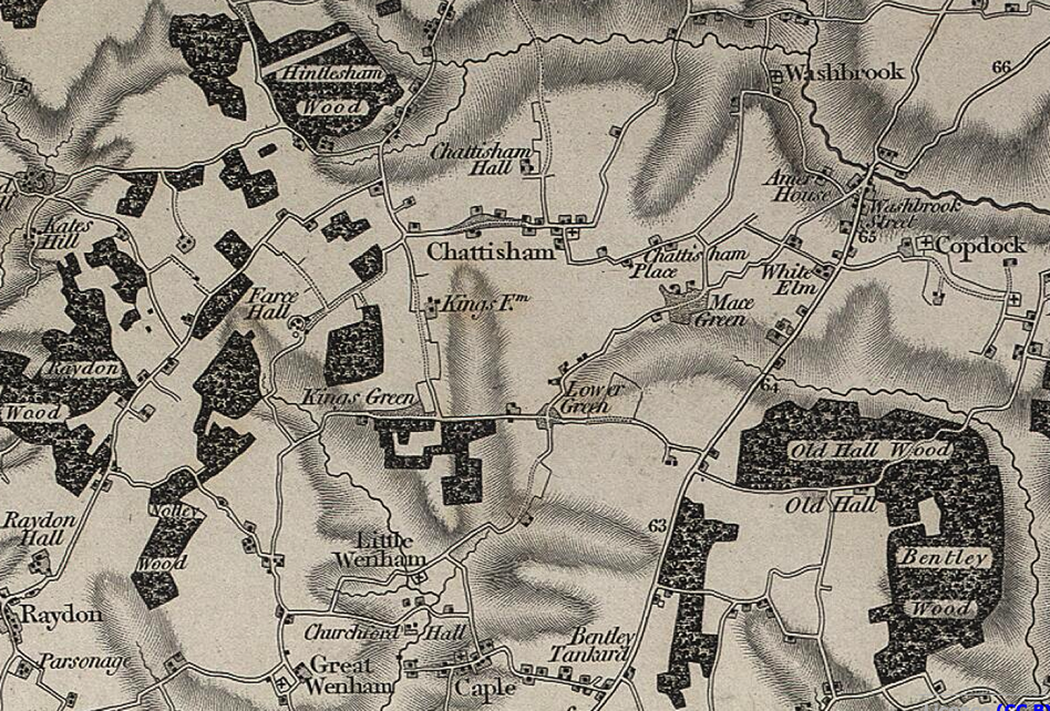
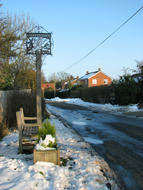
Chattisham
Chattisham is a village and civil parish in Suffolk, England. Located around two miles west of Ipswich and half a mile south of the A1071, it is part of...
Capel railway station
Capel railway station was a station in Capel St Mary, Suffolk, on a short branch line from Bentley Junction to Hadleigh. The station buildings were remarkably...
Belstead
Belstead is a village and civil parish in the Babergh district of the English county of Suffolk. Located on the southern edge of Ipswich, around 3 miles...
Nearby Amenities
Located within 500m of 52.029981,1.069963Have you been to Copdock and Washbrook?
Leave your review of Copdock and Washbrook below (or comments, questions and feedback).