Coombes
Civil Parish in Sussex Adur
England
Coombes
Coombes is a civil parish located in the Adur District of West Sussex, England. It is situated approximately 6 miles northwest of the city of Brighton and Hove, and is characterized by its rural landscape and picturesque views. The parish covers an area of about 4.5 square miles and is home to a small population of around 400 residents.
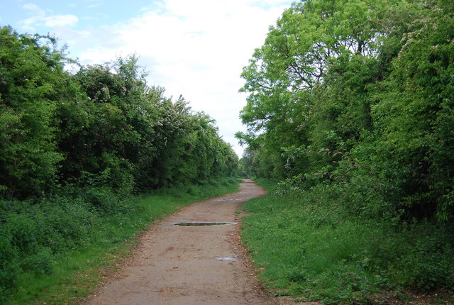
The village of Coombes is set amidst the rolling hills of the South Downs, offering an idyllic countryside setting. The area is known for its rich agricultural heritage, with vast farmlands and open fields surrounding the village. The landscape is dotted with traditional Sussex-style cottages and farmhouses, adding to the charm and character of the area.
Coombes is also famous for its ancient woodland, known as Coombes Wood, which covers a significant portion of the parish. The woodland is a designated Site of Special Scientific Interest (SSSI) due to its diverse flora and fauna, including rare plant species and various woodland birds.
The parish has limited amenities, with no shops or schools within its boundaries. However, the nearby towns of Shoreham-by-Sea and Southwick provide easy access to essential services and amenities. The area is well-connected by road, with the A27 passing nearby, providing convenient transportation links to other parts of Sussex.
Coombes offers a peaceful and tranquil setting, making it an ideal place for those seeking a rural lifestyle away from the hustle and bustle of larger towns and cities. The natural beauty and abundant wildlife of the area make it a popular destination for nature lovers and outdoor enthusiasts.
If you have any feedback on the listing, please let us know in the comments section below.
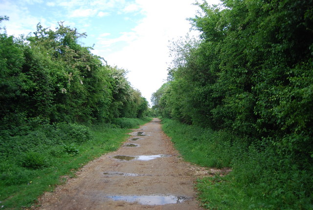
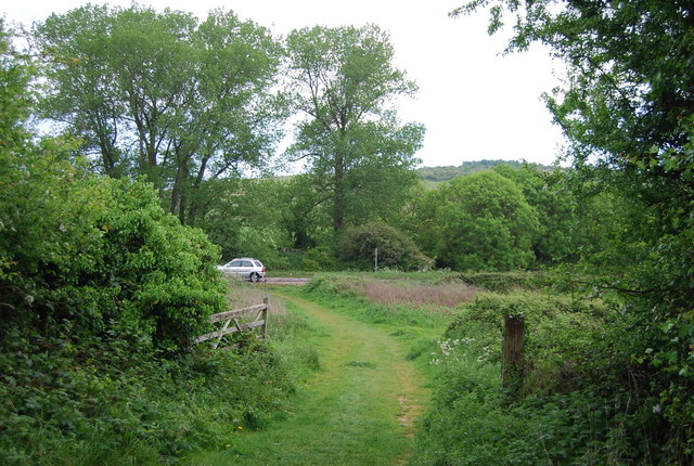
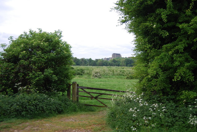
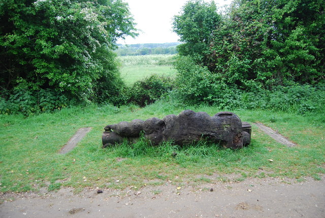
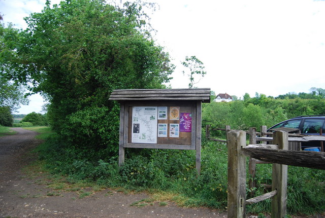
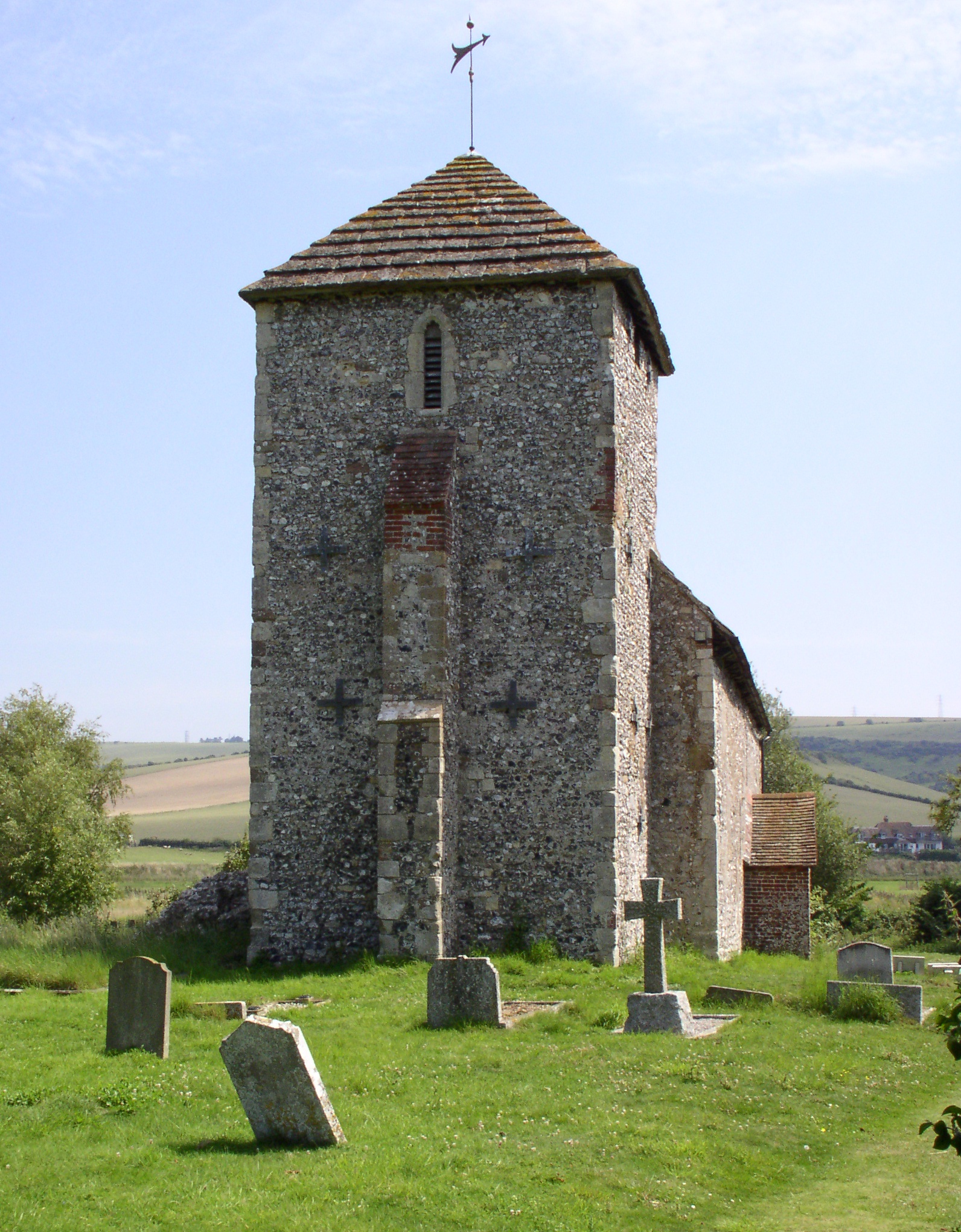
Coombes Images
Images are sourced within 2km of 50.856648/-0.315655 or Grid Reference TQ1807. Thanks to Geograph Open Source API. All images are credited.

Coombes is located at Grid Ref: TQ1807 (Lat: 50.856648, Lng: -0.315655)
Administrative County: West Sussex
District: Adur
Police Authority: Sussex
What 3 Words
///afflicted.extremes.bins. Near Lancing, West Sussex
Nearby Locations
Related Wikis
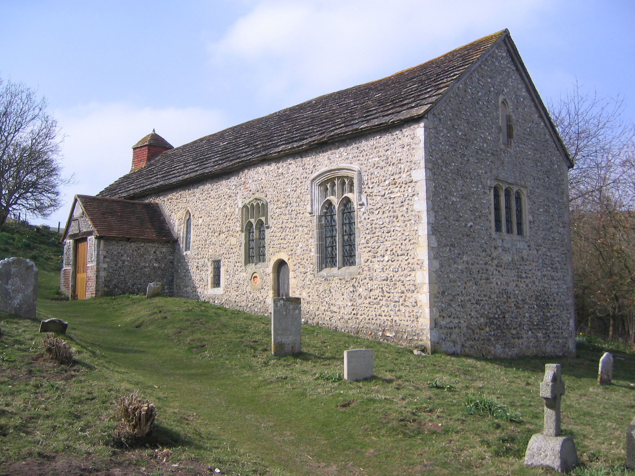
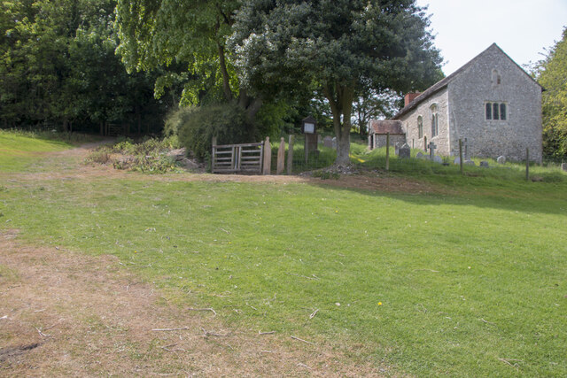
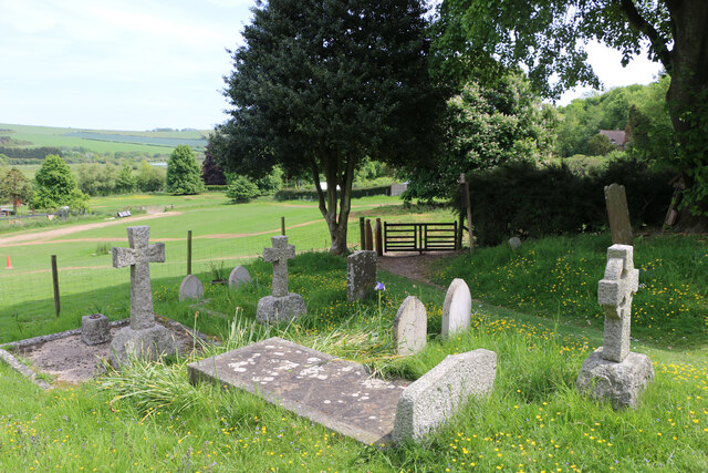
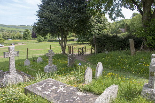
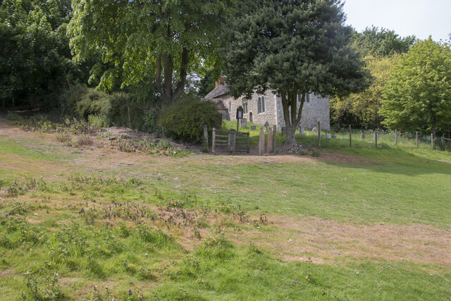
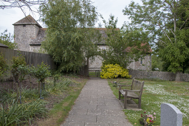
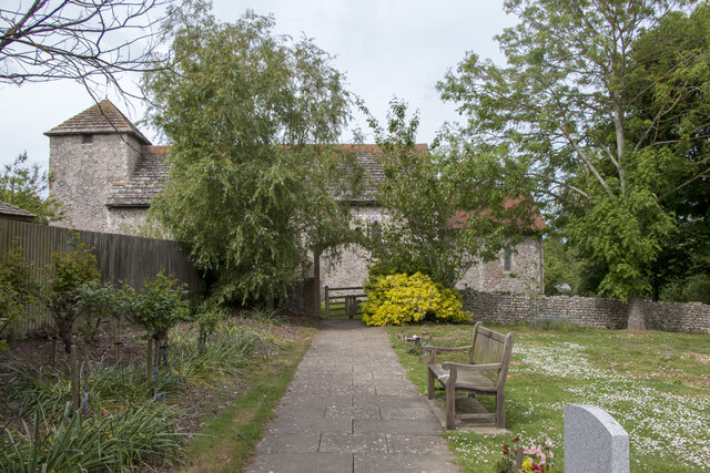
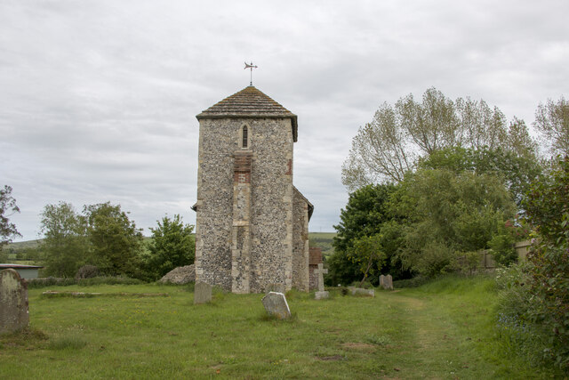
Coombes Church
Coombes Church is a Church of England parish church in the rural hamlet of Coombes in the Adur District of West Sussex, England. It has served the rural...
Coombes
Coombes is a small village and civil parish in the Adur District of West Sussex, England. The village is in the Adur Valley 2 miles (3.2 km) northwest...

Sompting & North Lancing (electoral division)
Sompting & North Lancing is an electoral division of West Sussex in the United Kingdom, and returns one member to sit on the West Sussex County Council...

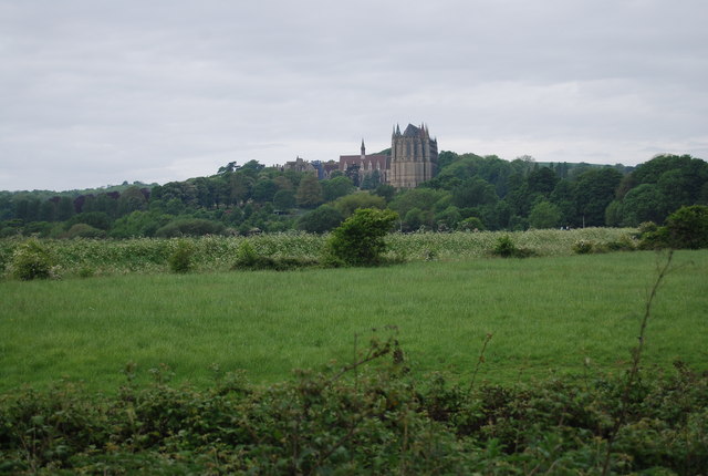
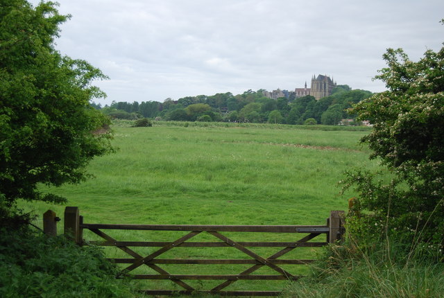
Lancing College Chapel
Lancing College Chapel is the chapel to Lancing College in West Sussex, England, and is an example of Gothic Revival architecture. The chapel was designed...

Lancing Ring
Lancing Ring is a 29.4-hectare (73-acre) Local Nature Reserve in Lancing in West Sussex. It is owned and managed by Adur District Council.This chalk grassland...
St Botolph's Church, Botolphs
The Grade I listed Saxon church of St Botolph's at Botolphs, West Sussex, England, is situated in the valley of the River Adur and is now part of the Church...

Botolphs
Botolphs, formerly known as Annington, is a tiny village and former civil parish, now in the parish of Bramber, in the Horsham District of West Sussex...

St James the Less Church, Lancing
St James the Less Church is the Anglican parish church of Lancing, an ancient village which has been absorbed into the modern town of Lancing in the district...
Nearby Amenities
Located within 500m of 50.856648,-0.315655Have you been to Coombes?
Leave your review of Coombes below (or comments, questions and feedback).