Paradise Wood
Wood, Forest in Lancashire South Ribble
England
Paradise Wood
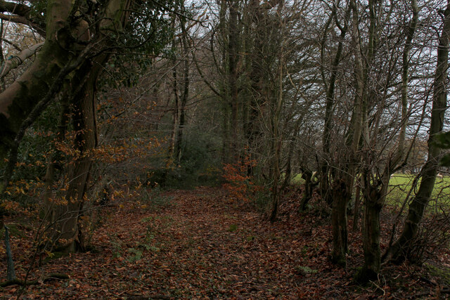
Paradise Wood is a picturesque forest located in the county of Lancashire, England. Situated near the town of Wood, it covers an area of approximately 100 acres and is renowned for its natural beauty and diverse ecosystem.
The woodland is primarily composed of broadleaf trees, including oak, beech, and ash, which create a dense canopy overhead, providing shelter and habitat for a wide range of wildlife. The forest floor is covered with a rich carpet of ferns, bluebells, and wildflowers, adding bursts of color to the serene surroundings.
Paradise Wood offers visitors a tranquil escape from the hustle and bustle of everyday life. Its well-maintained trails wind through the forest, allowing nature enthusiasts to explore and enjoy the peaceful ambiance. The pathways are suitable for both leisurely walks and more adventurous hikes, catering to individuals of all fitness levels.
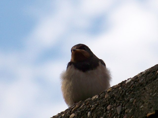
The forest is home to an array of wildlife, including deer, foxes, and an abundance of bird species. Birdwatchers can often spot woodpeckers, owls, and various songbirds, making it a popular spot for ornithologists and nature photographers.
Paradise Wood also features a small picnic area, where visitors can relax and enjoy the surroundings while savoring a packed lunch. Additionally, there are several benches strategically placed throughout the forest, providing opportunities to rest and take in the breathtaking views.
Overall, Paradise Wood in Lancashire is a haven for nature lovers, offering a serene atmosphere, diverse flora and fauna, and ample opportunities for exploration and relaxation.
If you have any feedback on the listing, please let us know in the comments section below.
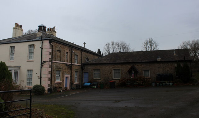
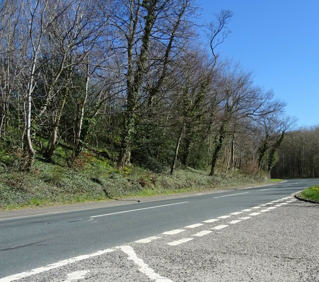
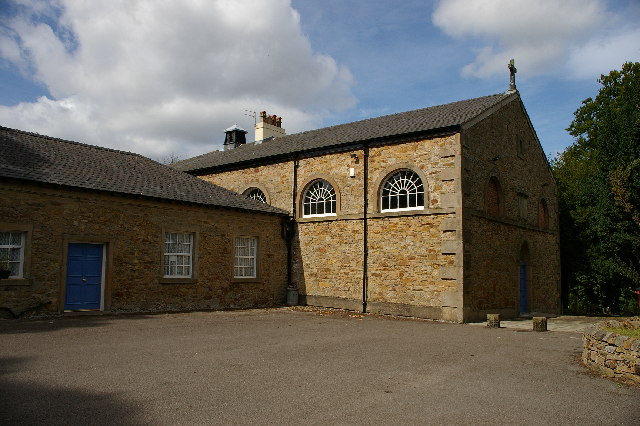
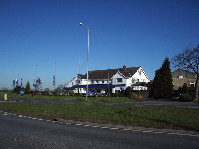
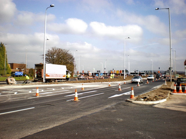
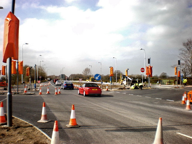
Paradise Wood Images
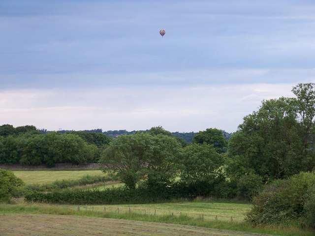
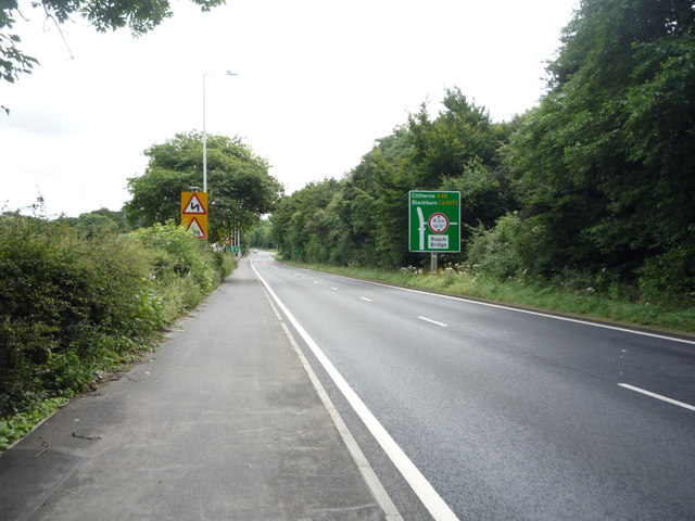
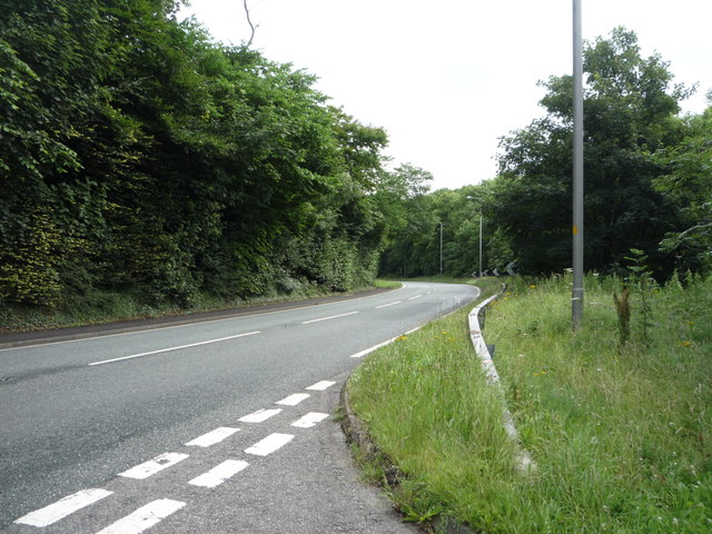
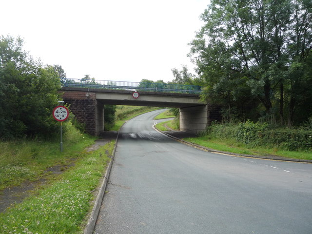
Images are sourced within 2km of 53.752544/-2.60643 or Grid Reference SD6028. Thanks to Geograph Open Source API. All images are credited.
Paradise Wood is located at Grid Ref: SD6028 (Lat: 53.752544, Lng: -2.60643)
Administrative County: Lancashire
District: South Ribble
Police Authority: Lancashire
What 3 Words
///message.scavenger.donates. Near Preston, Lancashire
Nearby Locations
Related Wikis

Coupe Green
Coupe Green or Coup Green is a village in Lancashire, England. It is located on the A675 between Higher Walton and Hoghton. The village is in the borough...

Hoghton railway station
Hoghton railway station was a railway station in Lancashire that served the village of Hoghton. It was situated on the East Lancashire Line between Preston...

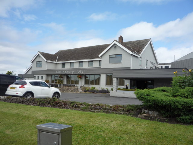
Samlesbury
Samlesbury ( or locally ) is a village and civil parish in South Ribble, Lancashire, England. Samlesbury Hall, a historic house, is in the village, as...

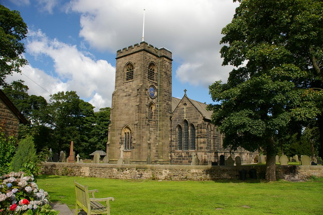
Church of St Leonard the Less, Samlesbury
The Church of St Leonard the Less is an Anglican church in the village of Samlesbury, Lancashire, England, situated close to the banks of the River Ribble...
Cuerdale
Cuerdale is a civil parish in the South Ribble district of Lancashire, England. It includes Cuerdale Hall and has no substantive settlements. It originated...

Gregson Lane
Gregson Lane is a village in Lancashire, England. It is situated between Bamber Bridge, Higher Walton, Coupe Green and Brindle, and is within four miles...

All Saints Church, Higher Walton
All Saints Church is in Blackburn Road in the village of Higher Walton, Lancashire, England. It is an active Anglican parish church in the deanery of Leyland...
Hoghton
Hoghton is a small village and civil parish in the Borough of Chorley, Lancashire, England. At the 2011 Census, it had a population of 802. Brindle and...
Related Videos

SOLO HIKING in the Lancashire Countryside - South Ribble Valley - Nabs Head & Samlesbury Circular.
A lovely 5 mile hike in Lancashire, England. Nabs Head & Samlesbury Circular in the South Ribble Valley!

Great British Walks
In this video we visit Brockholes Nature Reserve in Preston, Lancashire, England. We spend about 3 hours walking in the fresh air ...

SAMLESBURY WALK. 20.06.21
Fathers day walk in Blackburn. Sony ZV1 MUSIC: Wake Up & Flamingo by Kidcut. https://uppbeat.io/

Much To Do About Nothing
5 mile gentle walk with my dog enjoying the sunshine to Brockholes Nature Reserve in Preston, Lancashire. 13 February 2023 ...
Nearby Amenities
Located within 500m of 53.752544,-2.60643Have you been to Paradise Wood?
Leave your review of Paradise Wood below (or comments, questions and feedback).