Horse Close Wood
Wood, Forest in Lancashire Lancaster
England
Horse Close Wood

Horse Close Wood is a picturesque woodland located in Lancashire, England. Covering an area of approximately 50 acres, it is a haven for nature enthusiasts and those seeking tranquility amidst the bustling surroundings. The wood is situated near the town of Lancaster, just a short distance away from the popular Forest of Bowland.
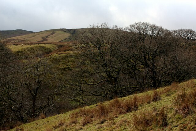
The woodland is primarily composed of broadleaf trees, including oak, beech, and ash, which create a dense and vibrant canopy overhead. This lush habitat provides a home for a diverse range of flora and fauna, making it an excellent spot for wildlife spotting and birdwatching. Visitors may encounter woodland birds such as woodpeckers, nuthatches, and tawny owls, as well as small mammals like squirrels and badgers.
Tranquil walking paths wind their way through the wood, offering visitors the opportunity to explore the serene surroundings at their own pace. The paths are well-maintained and suitable for walkers of all abilities, making it an ideal destination for families and individuals alike.
Horse Close Wood also holds historical significance, with evidence of human activity dating back to the Bronze Age. Archaeological remains and earthworks can be found within the wood, serving as a reminder of the area's rich past.
Overall, Horse Close Wood is a hidden gem in Lancashire, providing a peaceful retreat for those seeking solace in nature. Its beautiful woodland scenery, diverse wildlife, and historical significance make it a must-visit destination for both locals and tourists alike.
If you have any feedback on the listing, please let us know in the comments section below.
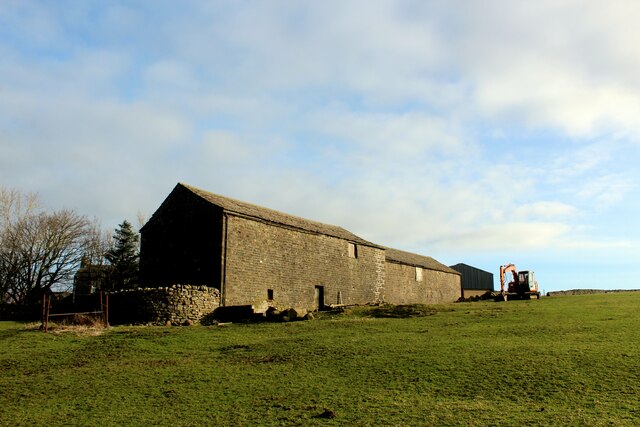
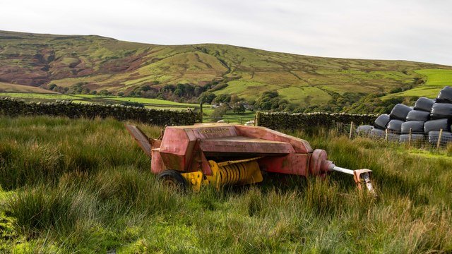
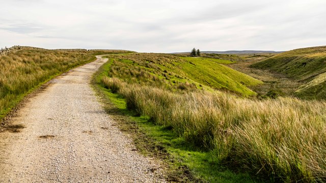
Horse Close Wood Images
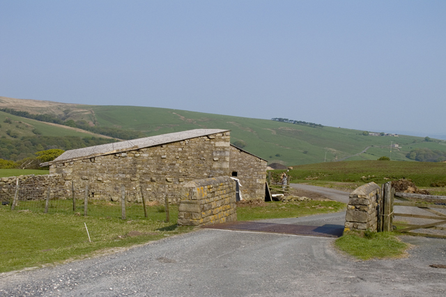
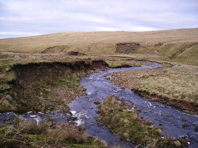
Images are sourced within 2km of 54.068285/-2.6109623 or Grid Reference SD6063. Thanks to Geograph Open Source API. All images are credited.


Horse Close Wood is located at Grid Ref: SD6063 (Lat: 54.068285, Lng: -2.6109623)
Administrative County: Lancashire
District: Lancaster
Police Authority: Lancashire
What 3 Words
///invite.unloading.fermented. Near Caton, Lancashire
Nearby Locations
Related Wikis

Roeburndale
Roeburndale is a civil parish in the City of Lancaster and the English county of Lancashire. In 2001 it had a population of 76. In the 2011 census Roeburndale...

River Hindburn
The River Hindburn is a river in Lancashire, England. The Hindburn rises at Thrushgill where three smaller streams (namely Whitray Beck, Middle Gill and...
River Roeburn
The River Roeburn is a river in Lancashire, England. Sourced at Salter Fell, the Roeburn flows northwards through Roeburndale to Wray, where it falls into...
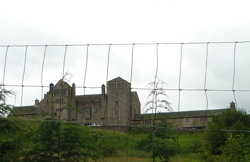
Claughton Hall
Claughton Hall (Claughton pronounced KLAF-tən) is a large country house in the English village of Claughton, Lancashire. A Grade I listed building, it...
Nearby Amenities
Located within 500m of 54.068285,-2.6109623Have you been to Horse Close Wood?
Leave your review of Horse Close Wood below (or comments, questions and feedback).