Fleetwood Hall Wood
Wood, Forest in Lancashire South Ribble
England
Fleetwood Hall Wood
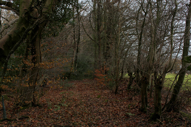
Fleetwood Hall Wood is a picturesque woodland area located in Lancashire, England. Spanning over an area of approximately 50 acres, this wood is known for its natural beauty and diverse ecosystem. It is situated near the town of Fleetwood and is easily accessible to both locals and tourists.
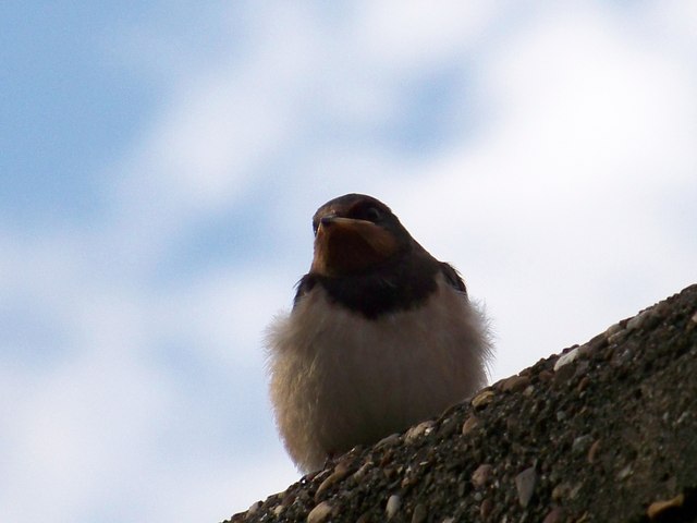
The wood features a rich variety of tree species, including oak, beech, birch, and pine. These trees create a dense canopy that provides shade and shelter for an array of wildlife. Visitors can expect to encounter a range of bird species, such as woodpeckers, owls, and various songbirds. Small mammals, including squirrels and rabbits, can also be spotted within the wood.
The wood is crisscrossed with well-maintained footpaths, allowing visitors to explore its natural wonders at their own pace. These pathways wind through the trees, offering stunning views and a peaceful atmosphere. The wood is particularly popular among nature enthusiasts, photographers, and families looking for a tranquil outdoor experience.
In addition to its natural beauty, Fleetwood Hall Wood also has historical significance. It is believed that the wood was once part of the hunting grounds used by the local nobility. Remnants of old stone walls and structures can still be seen, adding to the charm and intrigue of the area.
Overall, Fleetwood Hall Wood is a hidden gem in Lancashire, offering visitors a chance to escape the hustle and bustle of everyday life and immerse themselves in the beauty of nature.
If you have any feedback on the listing, please let us know in the comments section below.
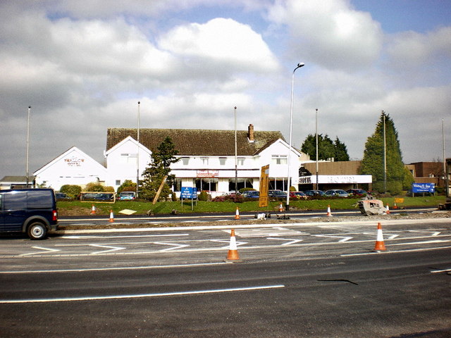
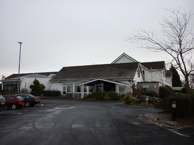
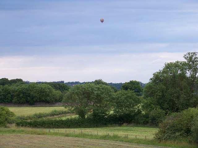
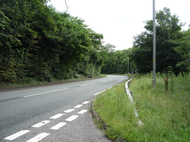
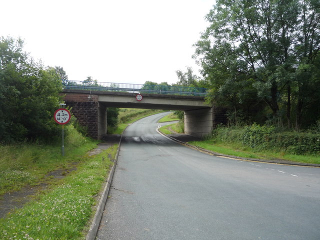
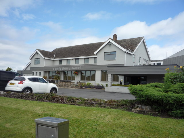
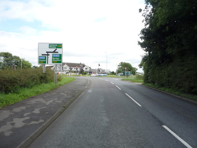
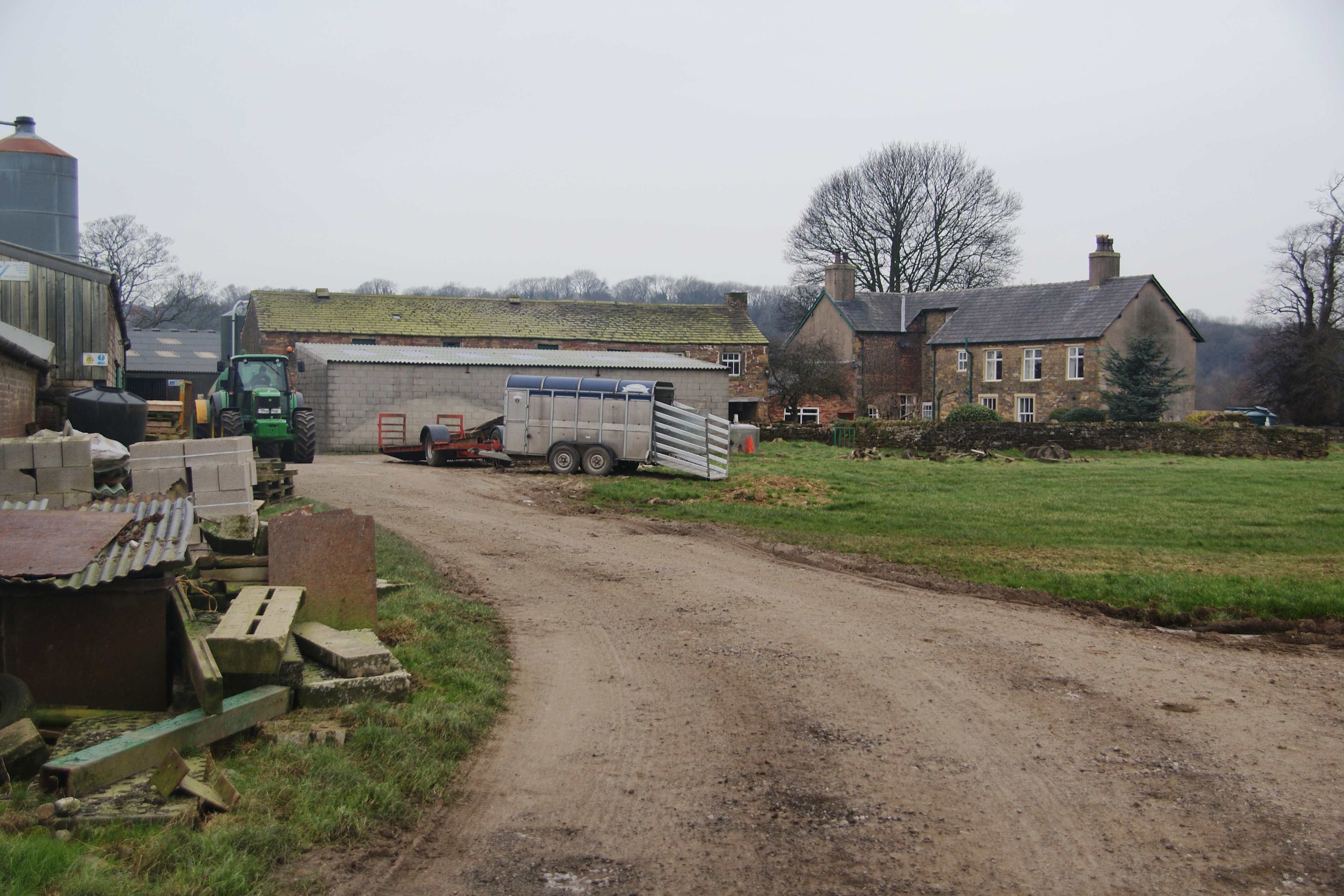
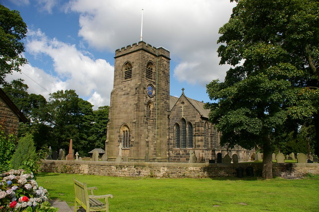
Fleetwood Hall Wood Images
Images are sourced within 2km of 53.750861/-2.6068607 or Grid Reference SD6028. Thanks to Geograph Open Source API. All images are credited.


Fleetwood Hall Wood is located at Grid Ref: SD6028 (Lat: 53.750861, Lng: -2.6068607)
Administrative County: Lancashire
District: South Ribble
Police Authority: Lancashire
What 3 Words
///patrolled.careful.rocked. Near Preston, Lancashire
Nearby Locations
Related Wikis

Coupe Green
Coupe Green or Coup Green is a village in Lancashire, England. It is located on the A675 between Higher Walton and Hoghton. The village is in the borough...

Hoghton railway station
Hoghton railway station was a railway station in Lancashire that served the village of Hoghton. It was situated on the East Lancashire Line between Preston...

Samlesbury
Samlesbury ( or locally ) is a village and civil parish in South Ribble, Lancashire, England. Samlesbury Hall, a historic house, is in the village, as...

Gregson Lane
Gregson Lane is a village in Lancashire, England. It is situated between Bamber Bridge, Higher Walton, Coupe Green and Brindle, and is within four miles...
Cuerdale
Cuerdale is a civil parish in the South Ribble district of Lancashire, England. It includes Cuerdale Hall and has no substantive settlements. It originated...

Church of St Leonard the Less, Samlesbury
The Church of St Leonard the Less is an Anglican church in the village of Samlesbury, Lancashire, England, situated close to the banks of the River Ribble...

All Saints Church, Higher Walton
All Saints Church is in Blackburn Road in the village of Higher Walton, Lancashire, England. It is an active Anglican parish church in the deanery of Leyland...
Hoghton
Hoghton is a small village and civil parish in the Borough of Chorley, Lancashire, England. At the 2011 Census, it had a population of 802. Brindle and...
Related Videos

SOLO HIKING in the Lancashire Countryside - South Ribble Valley - Nabs Head & Samlesbury Circular.
A lovely 5 mile hike in Lancashire, England. Nabs Head & Samlesbury Circular in the South Ribble Valley!

Great British Walks
In this video we visit Brockholes Nature Reserve in Preston, Lancashire, England. We spend about 3 hours walking in the fresh air ...

Much To Do About Nothing
5 mile gentle walk with my dog enjoying the sunshine to Brockholes Nature Reserve in Preston, Lancashire. 13 February 2023 ...

Brockholes UK - Nature Beauty doesn't need any words to explain! you just feel it when you see it🙂!
telangana #trending #uk #india #andhrapradesh #ukteluguvlogs #andhranews #telugu #summer #fun #uktravelupdate #travel ...
Nearby Amenities
Located within 500m of 53.750861,-2.6068607Have you been to Fleetwood Hall Wood?
Leave your review of Fleetwood Hall Wood below (or comments, questions and feedback).