Hanging Wood

Wood, Forest in Gloucestershire Forest of Dean

England

Hanging Wood

St James’ Church Bream Sunday morning worshippers gathering outside the door.
St James’ Church Bream Credit: David Martin

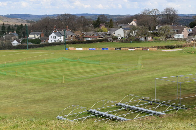
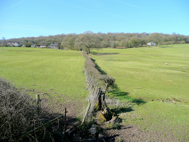
Hanging Wood is a picturesque woodland located in Gloucestershire, England. Situated near the town of Stroud, this ancient forest is known for its stunning natural beauty and rich biodiversity. Covering an area of approximately 100 acres, Hanging Wood is a popular destination for nature lovers and outdoor enthusiasts.

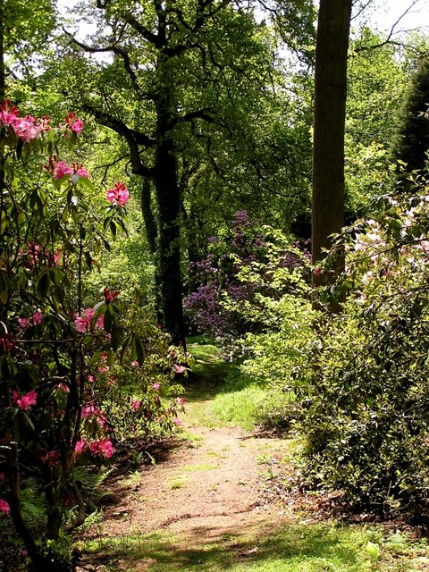
The woodland is characterized by its dense canopy of trees, predominantly consisting of oak, beech, and ash. The towering trees create a serene and peaceful atmosphere, providing a perfect escape from the hustle and bustle of everyday life. The forest floor is adorned with a carpet of wildflowers and ferns, adding to the enchanting ambiance of Hanging Wood.

In addition to its scenic beauty, Hanging Wood is home to a diverse range of wildlife. The forest provides a habitat for numerous bird species, including woodpeckers, owls, and warblers. Squirrels can often be spotted darting through the trees, while foxes and badgers roam the undergrowth.

The wood is crisscrossed by a network of walking trails, allowing visitors to explore the area and immerse themselves in nature. These paths lead to secluded clearings and viewpoints, offering breathtaking vistas of the surrounding countryside. The wood is also intersected by a small stream, which adds to the tranquility of the setting.

Hanging Wood is a cherished local treasure, attracting visitors throughout the year. Its natural beauty, diverse wildlife, and peaceful atmosphere make it a must-visit destination for anyone seeking a connection with nature in Gloucestershire.

If you have any feedback on the listing, please let us know in the comments section below.
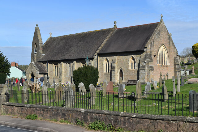
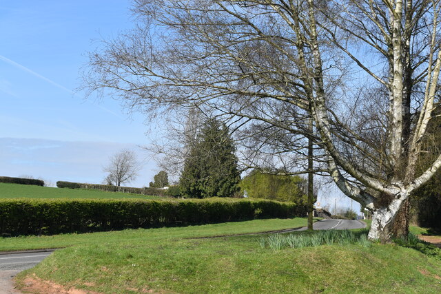
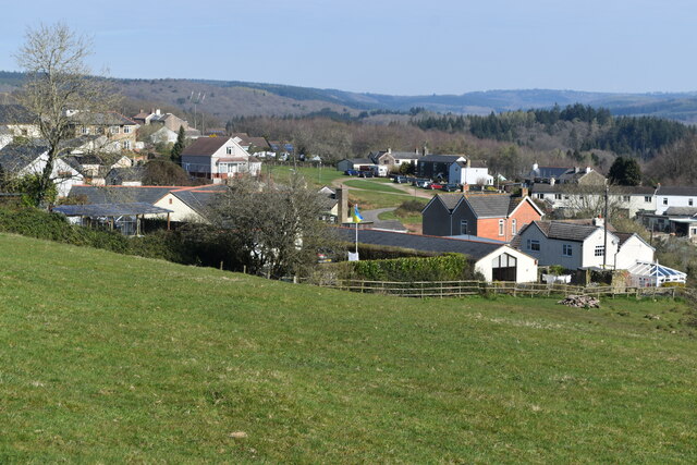
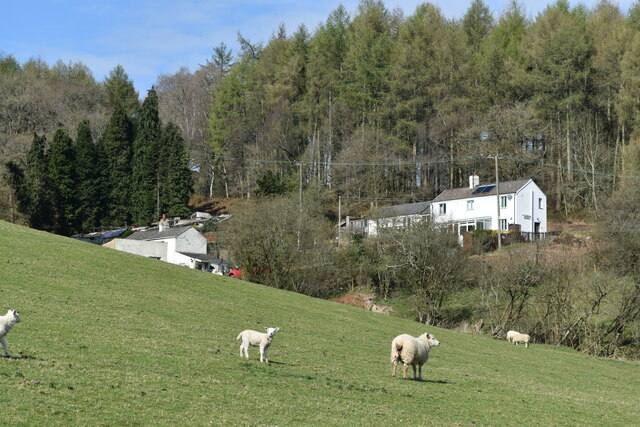
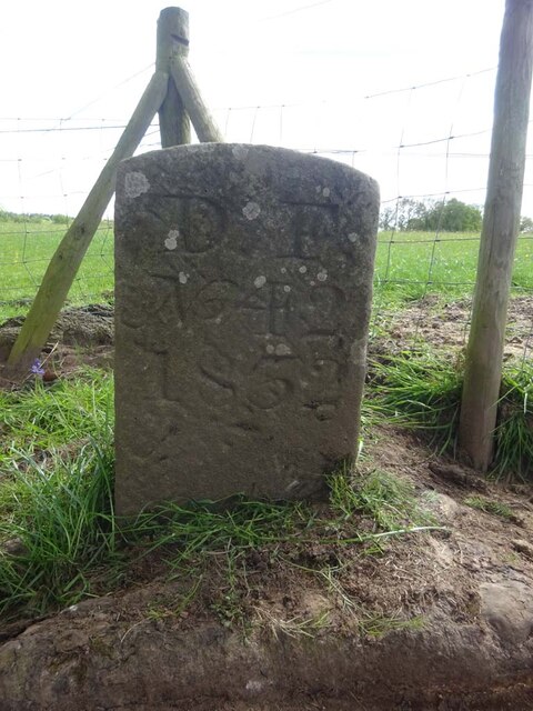
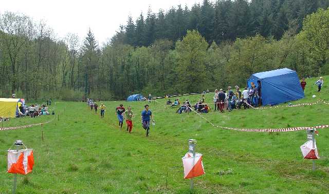
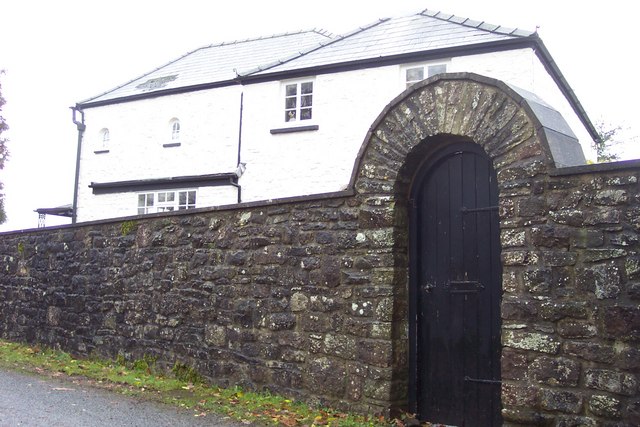
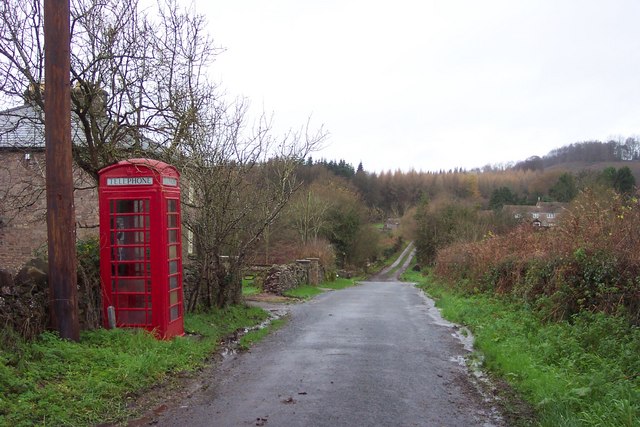
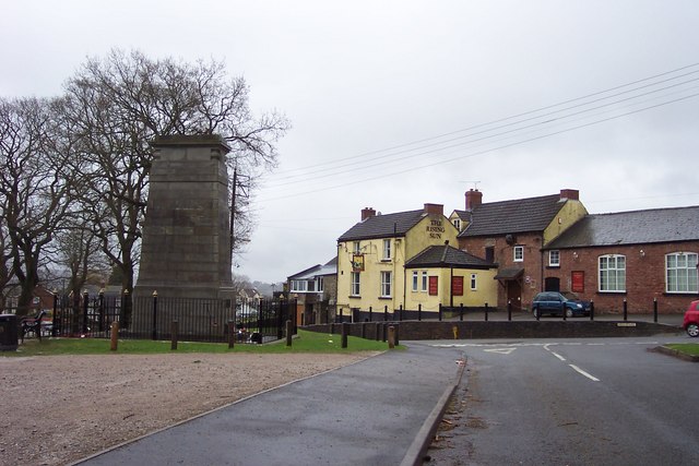
Hanging Wood Images

Images are sourced within 2km of 51.735726/-2.5794982 or Grid Reference SO6004. Thanks to Geograph Open Source API. All images are credited.

St James’ Church Bream Sunday morning worshippers gathering outside the door.
St James’ Church Bream
Sunday morning worshippers gathering outside the door.
Wide verge beside Lyndsey Road
View over Pastor’s Hill, Bream
Downhill view at Pastor’s Hill
Houses on hillside at Pastor’s Hill
Sports ground at Bream Seen from the Cenotaph.
Sports ground at Bream
Seen from the Cenotaph.
Boundary Stone, Bream In the minuscule front garden of Drywell Cottage, High Street. Opposite a coffee shop that has a companion Royal Forest of Dean BS <a href="https://www.geograph.org.uk/photo/7483936">SO6005 : Boundary Stone, Bream</a>, in the outdoor eating garden.

Inscription: D. F. / Nᴼ. 46 / 2004

Milestone Society National ID: GL_DFWDEA46em
Boundary Stone, Bream
In the minuscule front garden of Drywell Cottage, High Street. Opposite a coffee shop that has a companion Royal Forest of Dean BS SO6005 : Boundary Stone, Bream, in the outdoor eating garden. Inscription: D. F. / Nᴼ. 46 / 2004 Milestone Society National ID: GL_DFWDEA46em
Boundary Stone, Bream In the garden eating area of a coffee shop in the High Street, opposite another Royal Forest of Dean BS <a href="https://www.geograph.org.uk/photo/7483933">SO6005 : Boundary Stone, Bream</a>, in the minuscule front garden of Drywell Cottage.

Inscription: D. F. / Nᴼ. 47 / 2004

Milestone Society National ID: GL_DFWDEA47em
Boundary Stone, Bream
In the garden eating area of a coffee shop in the High Street, opposite another Royal Forest of Dean BS SO6005 : Boundary Stone, Bream, in the minuscule front garden of Drywell Cottage. Inscription: D. F. / Nᴼ. 47 / 2004 Milestone Society National ID: GL_DFWDEA47em
Boundary Stone, Bream Embedded in the retaining garden wall of "Windy Ridge", in the ramped approach to the "Rising Sun" pub, High Street.

Inscription: D. F. / Nᴼ. 45 / 1832

Milestone Society National ID: GL_DFWDEA45em
Boundary Stone, Bream
Embedded in the retaining garden wall of "Windy Ridge", in the ramped approach to the "Rising Sun" pub, High Street. Inscription: D. F. / Nᴼ. 45 / 1832 Milestone Society National ID: GL_DFWDEA45em
Boundary Stone, Bream Eaves A Royal Forest of Dean BS, just North of a track near a property called "Baytree", on land owned by "Forestry England" (aka Forestry Commission).

Inscription: D. F. / Nᴼ. 40 / 2006

Milestone Society National ID: GL_DFWDEA40em
Boundary Stone, Bream Eaves
A Royal Forest of Dean BS, just North of a track near a property called "Baytree", on land owned by "Forestry England" (aka Forestry Commission). Inscription: D. F. / Nᴼ. 40 / 2006 Milestone Society National ID: GL_DFWDEA40em
Boundary Stone, Bream Eaves On the eroded banks of a stream, between Bream Eaves and Pastors Hill. Because it has slipped from the top of the bank, this image of a Royal Forest of Dean BS shows the full length of the original 1832 stones.

Inscription: D. F. / Nᴼ. 39 / 1832

Milestone Society National ID: GL_DFWDEA39em
Boundary Stone, Bream Eaves
On the eroded banks of a stream, between Bream Eaves and Pastors Hill. Because it has slipped from the top of the bank, this image of a Royal Forest of Dean BS shows the full length of the original 1832 stones. Inscription: D. F. / Nᴼ. 39 / 1832 Milestone Society National ID: GL_DFWDEA39em
Boundary Stone, Bream A Royal Forest of Dean BS in a farm field on Pastors Hill, against a wall. Beside Gloucestershire footpath RWD56.

Inscription: D. F. / Nᴼ. 41 / 1832

Milestone Society National ID: GL_DFWDEA41em
Boundary Stone, Bream
A Royal Forest of Dean BS in a farm field on Pastors Hill, against a wall. Beside Gloucestershire footpath RWD56. Inscription: D. F. / Nᴼ. 41 / 1832 Milestone Society National ID: GL_DFWDEA41em
Boundary Stone, Bream A Royal Forest of Dean BS on Gloucestershire footpath RWD56, on Pastors Hill farmland.

Inscription: D. F. / Nᴼ. 42 / 1832

Milestone Society National ID: GL_DFWDEA42em
Boundary Stone, Bream
A Royal Forest of Dean BS on Gloucestershire footpath RWD56, on Pastors Hill farmland. Inscription: D. F. / Nᴼ. 42 / 1832 Milestone Society National ID: GL_DFWDEA42em
Finish at British Orienteering Championships race, Lydney Park, Lydney, Glos. The British Orienteering Championships took place at Lydney Park in the Forest of Dean in 2004. The finish for the individual day race was in this field, which runs along a valley bottom. The orienteering took place in the mixed woodland surrounding the valley.
Finish at British Orienteering Championships race, Lydney Park, Lydney, Glos.
The British Orienteering Championships took place at Lydney Park in the Forest of Dean in 2004. The finish for the individual day race was in this field, which runs along a valley bottom. The orienteering took place in the mixed woodland surrounding the valley.
Lydney Park Gardens Lydney Park Gardens is open in spring and has many rhododendrons, azaleas and magnolias.
Lydney Park Gardens
Lydney Park Gardens is open in spring and has many rhododendrons, azaleas and magnolias.
Heaven's Gate. Actually the name of the house.
Heaven's Gate.
Actually the name of the house.
Telephone box and lane near Aylburton Common. The track ahead leads to Pool Farm.
Telephone box and lane near Aylburton Common.
The track ahead leads to Pool Farm.
Road junction in the forest. Not a great geograph; I'm afraid it was one of my early ones. Sorry.
Road junction in the forest.
Not a great geograph; I'm afraid it was one of my early ones. Sorry.
Show me another place!

Hanging Wood is located at Grid Ref: SO6004 (Lat: 51.735726, Lng: -2.5794982)

Administrative County: Gloucestershire

District: Forest of Dean

Police Authority: Gloucestershire

What 3 Words

///uplifting.wiped.breakfast. Near Bream, Gloucestershire

Related Wikis

Devil's Chapel Scowles

Devil's Chapel Scowles (grid reference SO606045) is a 44.79-hectare (110.7-acre) biological Site of Special Scientific Interest in Gloucestershire, notified...

West Dean, Gloucestershire

West Dean is a civil parish, situated in the Forest of Dean district of Gloucestershire, England. == History == The Forest of Dean was an extra-parochial...

Bream, Gloucestershire

Bream (historically known as Breem) is a village in the Forest of Dean, west Gloucestershire, England. The population was around 3,170 in the 2011 census...

Brockhollands

Brockhollands is a hamlet located in the Forest of Dean. It lies between the village of Bream and the town of Lydney in Gloucestershire. It is an obscure...

Nearby Amenities

Located within 500m of 51.735726,-2.5794982
The data included in this document is from www.openstreetmap.org. The data is made available under ODbL.

Have you been to Hanging Wood?

Leave your review of Hanging Wood below (or comments, questions and feedback).