Broom Hill

Hill, Mountain in Gloucestershire Forest of Dean

England

Broom Hill

St James’ Church Bream Sunday morning worshippers gathering outside the door.
St James’ Church Bream Credit: David Martin

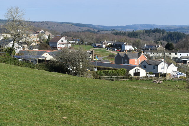
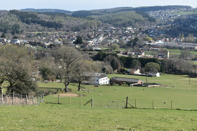
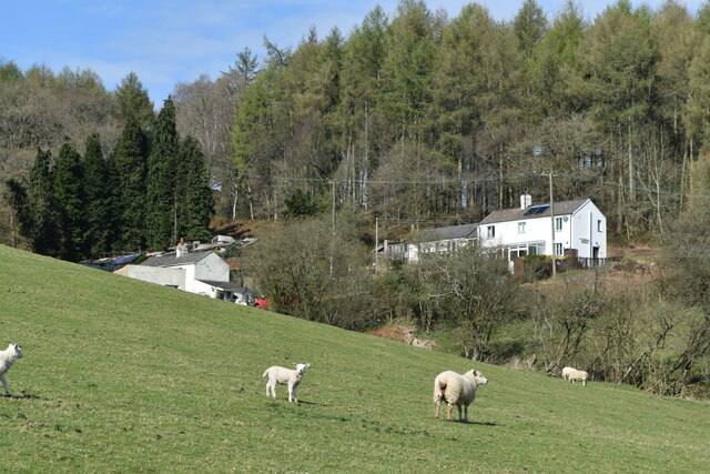
Broom Hill is a picturesque hill located in Gloucestershire, England. It is part of the enchanting Cotswold Range and stands at an elevation of approximately 260 meters (850 feet) above sea level. Offering breathtaking panoramic views of the surrounding countryside, Broom Hill attracts visitors with its natural beauty and serene atmosphere.

Covered in lush green vegetation, the hill is adorned with a variety of trees, including oak, beech, and ash, which add to its charm. The flora and fauna found here are diverse, with wildflowers, butterflies, and birds creating a vibrant ecosystem.

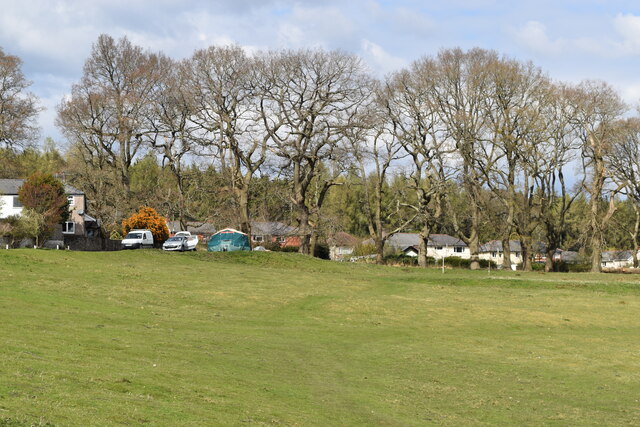
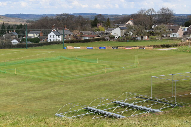
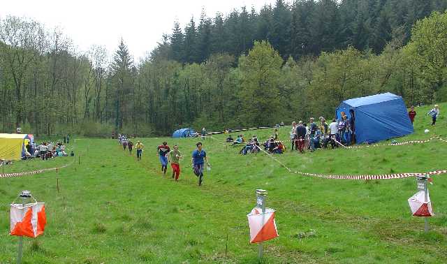
Broom Hill is a popular destination for outdoor enthusiasts and nature lovers. It offers numerous walking trails and footpaths that wind through the hill, allowing visitors to explore its nooks and crannies. The hill's gentle slopes make it accessible to people of all ages and fitness levels, making it an ideal spot for a leisurely stroll or a family picnic.

The hill also has historical significance, with remnants of ancient settlements and burial mounds dating back to the Iron Age. Archaeological excavations have uncovered artifacts that provide insight into previous human habitation on the hill.

Located near the charming village of Dursley, Broom Hill is easily accessible by car or public transportation. Its proximity to other attractions in the Cotswolds, such as the historic town of Stroud and the famous Cotswold Way walking trail, makes it a prime destination for those looking to explore the region's natural beauty and cultural heritage.

In conclusion, Broom Hill in Gloucestershire, England, is a captivating hill that offers stunning views, diverse flora and fauna, and a rich history. Its accessibility and proximity to other attractions make it a must-visit destination for nature enthusiasts and those seeking a tranquil escape in the heart of the Cotswolds.

If you have any feedback on the listing, please let us know in the comments section below.
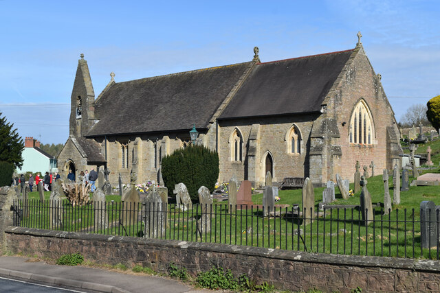
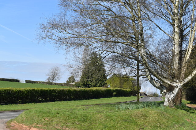
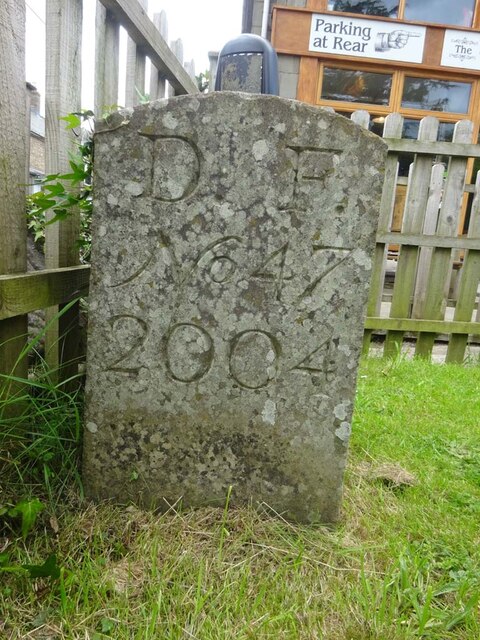
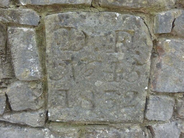
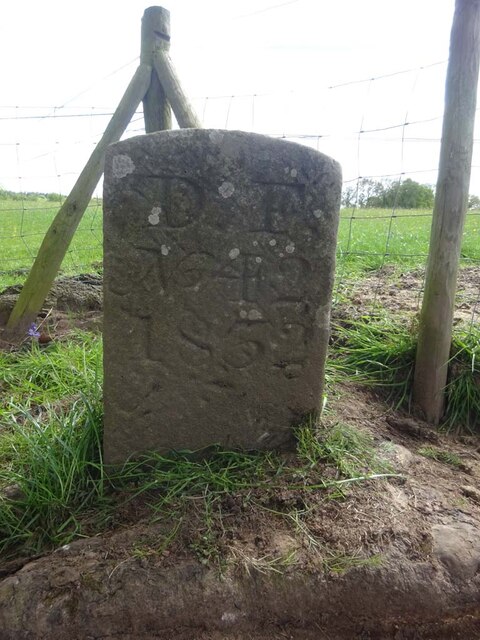
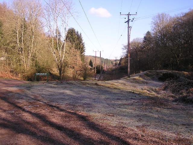
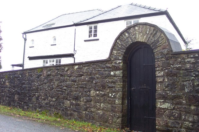
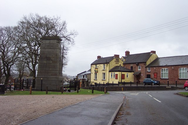
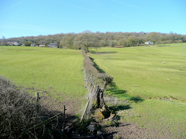
Broom Hill Images

Images are sourced within 2km of 51.738702/-2.5794784 or Grid Reference SO6004. Thanks to Geograph Open Source API. All images are credited.

St James’ Church Bream Sunday morning worshippers gathering outside the door.
St James’ Church Bream
Sunday morning worshippers gathering outside the door.
Wide verge beside Lyndsey Road
View over Pastor’s Hill, Bream
View over Whitecroft The station on the preserved Dean Forest Railway is in the centre of this image.
View over Whitecroft
The station on the preserved Dean Forest Railway is in the centre of this image.
Downhill view at Pastor’s Hill
Houses on hillside at Pastor’s Hill
Grassy hillside below Cox's Way
Sports ground at Bream Seen from the Cenotaph.
Sports ground at Bream
Seen from the Cenotaph.
Boundary Stone, Bream In the minuscule front garden of Drywell Cottage, High Street. Opposite a coffee shop that has a companion Royal Forest of Dean BS <a href="https://www.geograph.org.uk/photo/7483936">SO6005 : Boundary Stone, Bream</a>, in the outdoor eating garden.

Inscription: D. F. / Nᴼ. 46 / 2004

Milestone Society National ID: GL_DFWDEA46em
Boundary Stone, Bream
In the minuscule front garden of Drywell Cottage, High Street. Opposite a coffee shop that has a companion Royal Forest of Dean BS SO6005 : Boundary Stone, Bream, in the outdoor eating garden. Inscription: D. F. / Nᴼ. 46 / 2004 Milestone Society National ID: GL_DFWDEA46em
Boundary Stone, Bream In the garden eating area of a coffee shop in the High Street, opposite another Royal Forest of Dean BS <a href="https://www.geograph.org.uk/photo/7483933">SO6005 : Boundary Stone, Bream</a>, in the minuscule front garden of Drywell Cottage.

Inscription: D. F. / Nᴼ. 47 / 2004

Milestone Society National ID: GL_DFWDEA47em
Boundary Stone, Bream
In the garden eating area of a coffee shop in the High Street, opposite another Royal Forest of Dean BS SO6005 : Boundary Stone, Bream, in the minuscule front garden of Drywell Cottage. Inscription: D. F. / Nᴼ. 47 / 2004 Milestone Society National ID: GL_DFWDEA47em
Boundary Stone, Bream Embedded in the retaining garden wall of "Windy Ridge", in the ramped approach to the "Rising Sun" pub, High Street.

Inscription: D. F. / Nᴼ. 45 / 1832

Milestone Society National ID: GL_DFWDEA45em
Boundary Stone, Bream
Embedded in the retaining garden wall of "Windy Ridge", in the ramped approach to the "Rising Sun" pub, High Street. Inscription: D. F. / Nᴼ. 45 / 1832 Milestone Society National ID: GL_DFWDEA45em
Boundary Stone, Bream Eaves A Royal Forest of Dean BS, just North of a track near a property called "Baytree", on land owned by "Forestry England" (aka Forestry Commission).

Inscription: D. F. / Nᴼ. 40 / 2006

Milestone Society National ID: GL_DFWDEA40em
Boundary Stone, Bream Eaves
A Royal Forest of Dean BS, just North of a track near a property called "Baytree", on land owned by "Forestry England" (aka Forestry Commission). Inscription: D. F. / Nᴼ. 40 / 2006 Milestone Society National ID: GL_DFWDEA40em
Boundary Stone, Bream Eaves On the eroded banks of a stream, between Bream Eaves and Pastors Hill. Because it has slipped from the top of the bank, this image of a Royal Forest of Dean BS shows the full length of the original 1832 stones.

Inscription: D. F. / Nᴼ. 39 / 1832

Milestone Society National ID: GL_DFWDEA39em
Boundary Stone, Bream Eaves
On the eroded banks of a stream, between Bream Eaves and Pastors Hill. Because it has slipped from the top of the bank, this image of a Royal Forest of Dean BS shows the full length of the original 1832 stones. Inscription: D. F. / Nᴼ. 39 / 1832 Milestone Society National ID: GL_DFWDEA39em
Boundary Stone, Bream A Royal Forest of Dean BS in a farm field on Pastors Hill, against a wall. Beside Gloucestershire footpath RWD56.

Inscription: D. F. / Nᴼ. 41 / 1832

Milestone Society National ID: GL_DFWDEA41em
Boundary Stone, Bream
A Royal Forest of Dean BS in a farm field on Pastors Hill, against a wall. Beside Gloucestershire footpath RWD56. Inscription: D. F. / Nᴼ. 41 / 1832 Milestone Society National ID: GL_DFWDEA41em
Boundary Stone, Bream A Royal Forest of Dean BS on Gloucestershire footpath RWD56, on Pastors Hill farmland.

Inscription: D. F. / Nᴼ. 42 / 1832

Milestone Society National ID: GL_DFWDEA42em
Boundary Stone, Bream
A Royal Forest of Dean BS on Gloucestershire footpath RWD56, on Pastors Hill farmland. Inscription: D. F. / Nᴼ. 42 / 1832 Milestone Society National ID: GL_DFWDEA42em
Finish at British Orienteering Championships race, Lydney Park, Lydney, Glos. The British Orienteering Championships took place at Lydney Park in the Forest of Dean in 2004. The finish for the individual day race was in this field, which runs along a valley bottom. The orienteering took place in the mixed woodland surrounding the valley.
Finish at British Orienteering Championships race, Lydney Park, Lydney, Glos.
The British Orienteering Championships took place at Lydney Park in the Forest of Dean in 2004. The finish for the individual day race was in this field, which runs along a valley bottom. The orienteering took place in the mixed woodland surrounding the valley.
Power lines through the forest Looking towards the North West.
Power lines through the forest
Looking towards the North West.
Heaven's Gate. Actually the name of the house.
Heaven's Gate.
Actually the name of the house.
Show me another place!

Broom Hill is located at Grid Ref: SO6004 (Lat: 51.738702, Lng: -2.5794784)

Administrative County: Gloucestershire

District: Forest of Dean

Police Authority: Gloucestershire

What 3 Words

///diverting.range.riots. Near Bream, Gloucestershire

Related Wikis

Devil's Chapel Scowles

Devil's Chapel Scowles (grid reference SO606045) is a 44.79-hectare (110.7-acre) biological Site of Special Scientific Interest in Gloucestershire, notified...

West Dean, Gloucestershire

West Dean is a civil parish, situated in the Forest of Dean district of Gloucestershire, England. == History == The Forest of Dean was an extra-parochial...

Bream, Gloucestershire

Bream (historically known as Breem) is a village in the Forest of Dean, west Gloucestershire, England. The population was around 3,170 in the 2011 census...

Brockhollands

Brockhollands is a hamlet located in the Forest of Dean. It lies between the village of Bream and the town of Lydney in Gloucestershire. It is an obscure...

Nearby Amenities

Located within 500m of 51.738702,-2.5794784
Power: pole
Lat/Long: 51.7414384/-2.5747222
Power: pole
Lat/Long: 51.7415015/-2.575838
Power: pole
Lat/Long: 51.7416128/-2.5779837
Power: pole
Lat/Long: 51.7417456/-2.5798023
Power: pole
Lat/Long: 51.7418519/-2.5817174
Power: pole
Lat/Long: 51.7419408/-2.5832073
The data included in this document is from www.openstreetmap.org. The data is made available under ODbL.

Have you been to Broom Hill?

Leave your review of Broom Hill below (or comments, questions and feedback).