Bats Wood
Wood, Forest in Somerset Mendip
England
Bats Wood
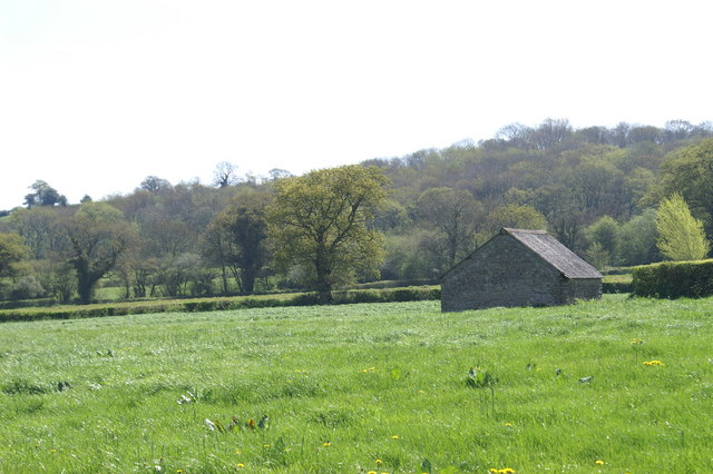
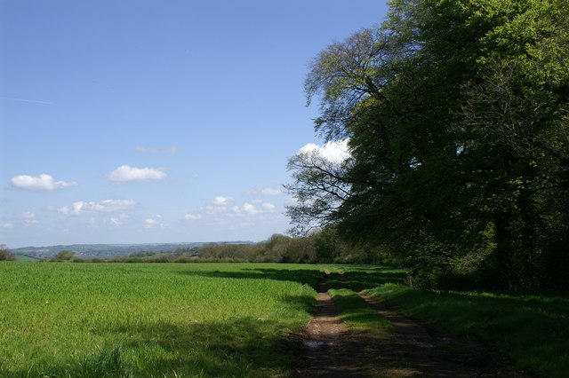
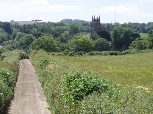
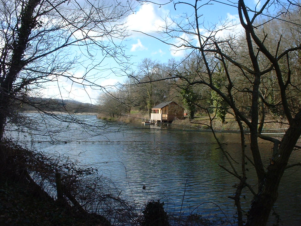
Bats Wood is a picturesque woodland located in Somerset, England. It is situated near the village of Batsford, hence the name, and covers an area of approximately 50 acres. The woodland is a mix of deciduous and coniferous trees, creating a diverse and enchanting environment.
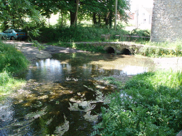
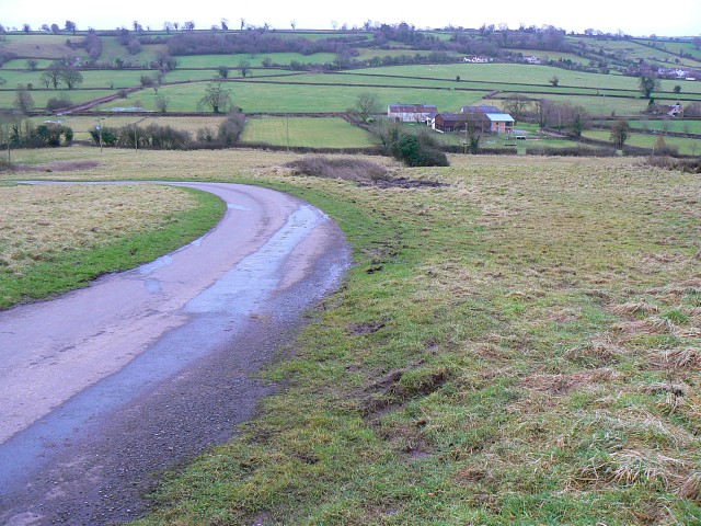
The wood is known for its tranquil and serene atmosphere, making it a popular destination for nature lovers and walkers. The pathways that wind through the woodland offer visitors the opportunity to immerse themselves in the beauty of nature, with an abundance of flora and fauna to admire.
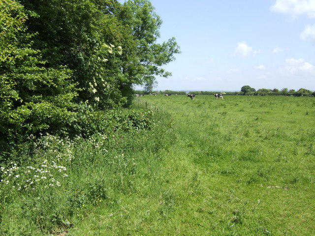
One of the prominent features of Bats Wood is its rich biodiversity. The woodland is home to various species of birds, including woodpeckers, owls, and robins, making it a haven for birdwatchers. Additionally, the forest floor is teeming with a diverse range of plants, such as bluebells, wild garlic, and ferns, adding to the visual appeal of the area.
The management of Bats Wood is focused on preserving its natural beauty and ensuring the conservation of its wildlife. Regular maintenance and conservation efforts are carried out to protect the delicate ecosystem of the woodland.
Visitors to Bats Wood can enjoy the tranquility of the surroundings, take leisurely walks, and appreciate the natural wonders that the woodland has to offer. The wood provides a welcome escape from the hustle and bustle of everyday life, allowing visitors to reconnect with nature and enjoy the peace and serenity of this idyllic location.
If you have any feedback on the listing, please let us know in the comments section below.
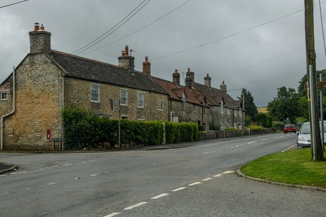
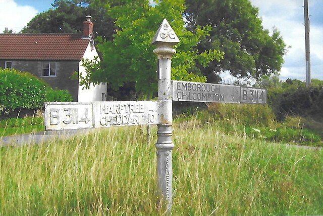
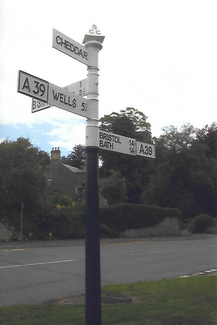
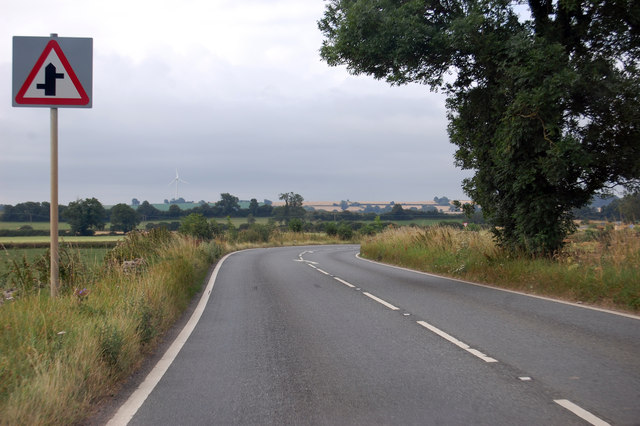
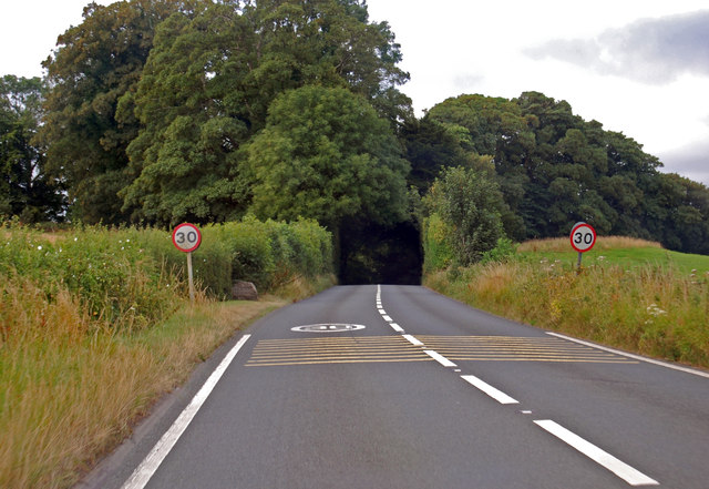
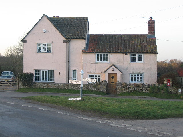
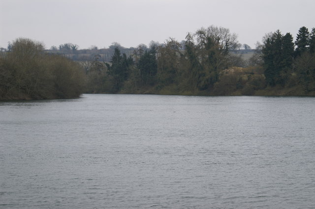
Bats Wood Images
Images are sourced within 2km of 51.278685/-2.5795187 or Grid Reference ST5953. Thanks to Geograph Open Source API. All images are credited.
Bats Wood is located at Grid Ref: ST5953 (Lat: 51.278685, Lng: -2.5795187)
Administrative County: Somerset
District: Mendip
Police Authority: Avon and Somerset
What 3 Words
///promoted.dries.appeal. Near East Harptree, Somerset
Nearby Locations
Related Wikis
Chewton Mendip
Chewton Mendip is a village and civil parish in Somerset, England. It is situated 4 miles (6 km) north of Wells, 16 miles (26 km) south of Bath and Bristol...
Litton, Somerset
Litton (grid reference ST593546) is a small village and civil parish between Chewton Mendip and West Harptree in the Mendip Hills, Somerset, England. The...
Litton Reservoirs
Litton Reservoirs (also known as Coley Reservoirs) (grid reference ST590553) are two reservoirs near the village of Litton, Somerset, England. They are...
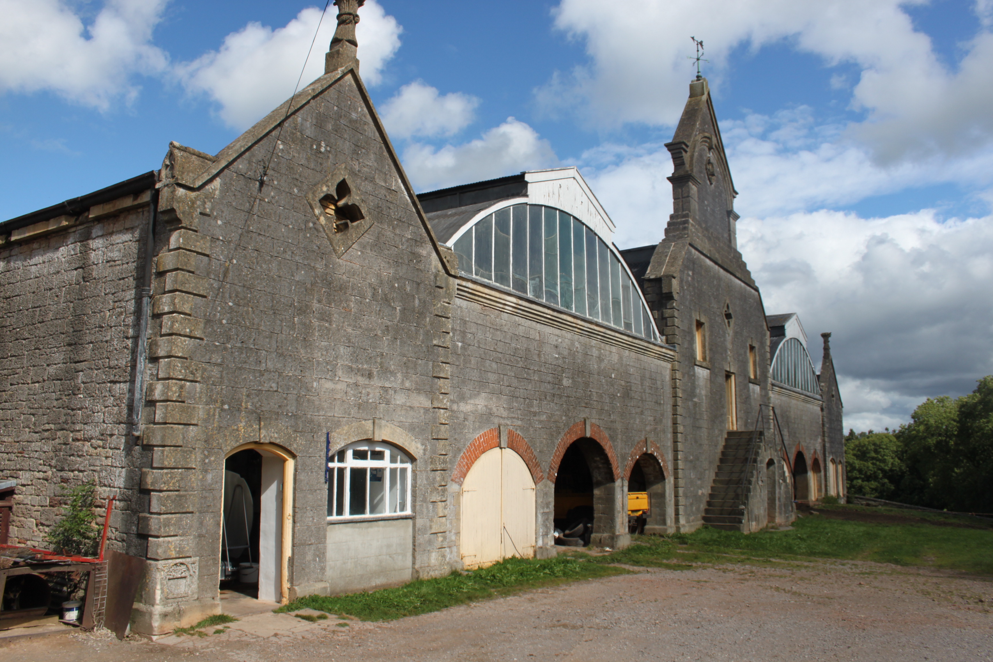
Eastwood Manor Farm Steading
Eastwood Manor Farm Steading in East Harptree, Somerset, England is a Grade I listed building.The farm including the site for the construction of Eastwood...
Ston Easton
Ston Easton is a linear village and civil parish in the English county of Somerset. It is 14 miles (23 km) southwest of Bath and 7 miles (11 km) north...

Ston Easton Park
Ston Easton Park is an English country house built in the 18th century. It lies near the village of Ston Easton, Somerset. It is a Grade I listed building...

Emborough
Emborough is a village and civil parish 5 miles (8.0 km) north of Shepton Mallet, and 5 miles (8.0 km) north east of Wells, in the Mendip district of Somerset...
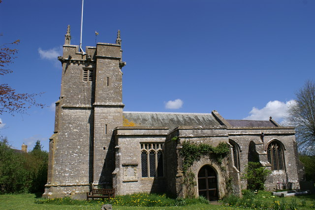
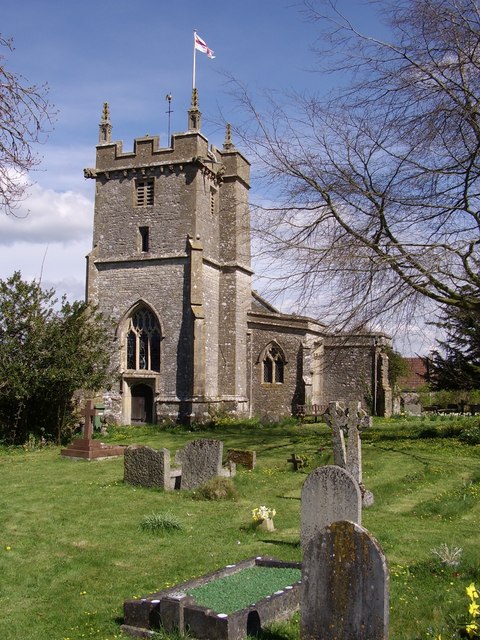
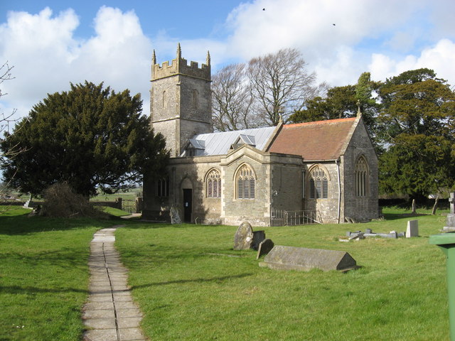
Church of St Mary the Virgin, Ston Easton
The Anglican Church of St Mary the Virgin in Ston Easton, Somerset, England, is a Grade II* listed building dating from the 11th century, with a 15th-century...
Nearby Amenities
Located within 500m of 51.278685,-2.5795187Have you been to Bats Wood?
Leave your review of Bats Wood below (or comments, questions and feedback).