Yewtree Wood
Wood, Forest in Somerset Mendip
England
Yewtree Wood
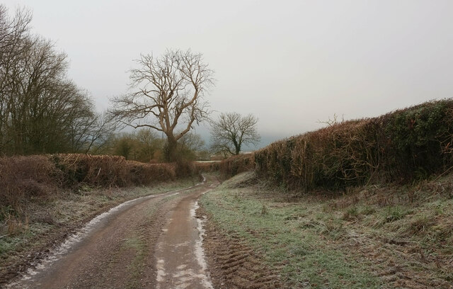
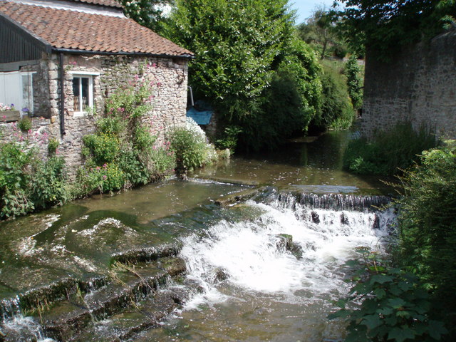
Yewtree Wood is a picturesque woodland located in Somerset, England. This ancient forest covers an area of approximately 200 acres and is renowned for its dense population of yew trees, some of which date back over 500 years. The wood is situated in a secluded valley, surrounded by rolling hills and tranquil meadows, creating a serene and idyllic setting.
As visitors enter Yewtree Wood, they are immediately struck by the enchanting atmosphere and the sense of history that permeates the air. The towering yew trees, with their twisted trunks and dark green foliage, create a canopy that filters the sunlight, casting a dappled shade on the forest floor. The undergrowth is rich with a diverse array of plant species, including bluebells, ferns, and wild garlic, adding to the natural beauty of the wood.
The wood is home to a variety of wildlife, making it a haven for nature lovers and wildlife enthusiasts. Birdsong fills the air as various species, such as robins, thrushes, and woodpeckers, make their homes among the branches. Squirrels can be seen darting through the treetops, while badgers and foxes roam the forest floor in search of food.
Yewtree Wood also holds historical significance, with remnants of ancient earthworks and burial mounds scattered throughout the area. These archaeological features provide evidence of human habitation in the wood dating back thousands of years.
The wood attracts visitors year-round, who come to enjoy the peaceful surroundings and explore the numerous walking trails that wind through the forest. Yewtree Wood is a true gem of Somerset, offering a glimpse into the natural and cultural heritage of the region.
If you have any feedback on the listing, please let us know in the comments section below.
Yewtree Wood Images
Images are sourced within 2km of 51.195631/-2.57849 or Grid Reference ST5944. Thanks to Geograph Open Source API. All images are credited.


Yewtree Wood is located at Grid Ref: ST5944 (Lat: 51.195631, Lng: -2.57849)
Administrative County: Somerset
District: Mendip
Police Authority: Avon and Somerset
What 3 Words
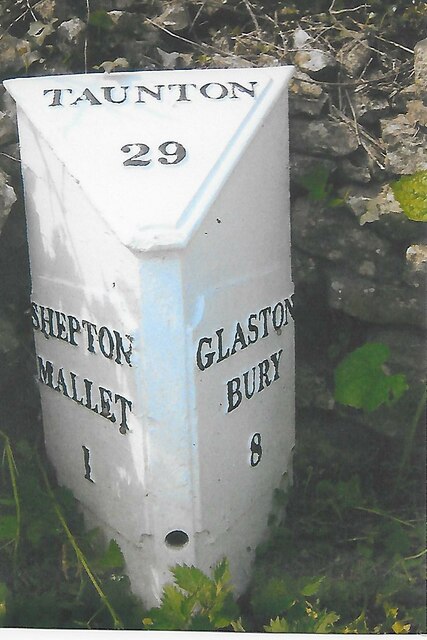
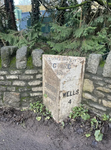
///revisits.hoofs.struck. Near Shepton Mallet, Somerset
Nearby Locations
Related Wikis
Croscombe
Croscombe is a village and civil parish 2 miles (3 km) west of Shepton Mallet and 4 miles (6 km) from Wells, in the Mendip district of Somerset, England...
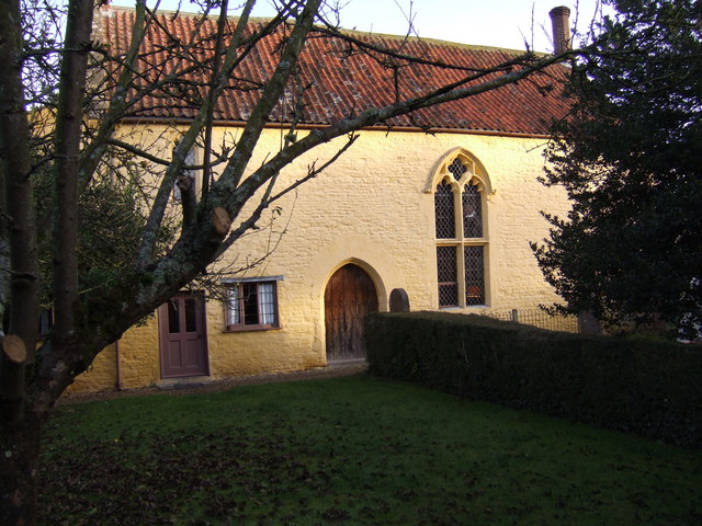
The Old Manor, Croscombe
The Old Manor in Croscombe, Somerset, England, was built around 1460–89 as a rectorial manor house for Hugh Sugar, the Treasurer of Wells Cathedral. It...

The Old Rectory, Croscombe
The Old Rectory in the village of Croscombe within the English county of Somerset was built in the 17th century and rebuilt in the 18th. It is a Grade...
Friar's Oven
Friar's Oven (grid reference ST592431) is a 4.0 hectare biological Site of Special Scientific Interest in Somerset, notified in 1989. == Sources == English...
Shepton Mallet F.C.
Shepton Mallet Association Football Club are a football club based in Shepton Mallet, Somerset, England. They are currently members of Western League Premier...
Thrupe Lane Swallet
Thrupe Lane Swallet (grid reference ST603458) is a 0.5 hectares (1.2 acres) geological Site of Special Scientific Interest in Somerset, notified in 1992...
Brothers Cider
Brothers Cider is a brand of fruit cider originating in Somerset in South West England. Originally available at music festivals, it is now sold in pubs...
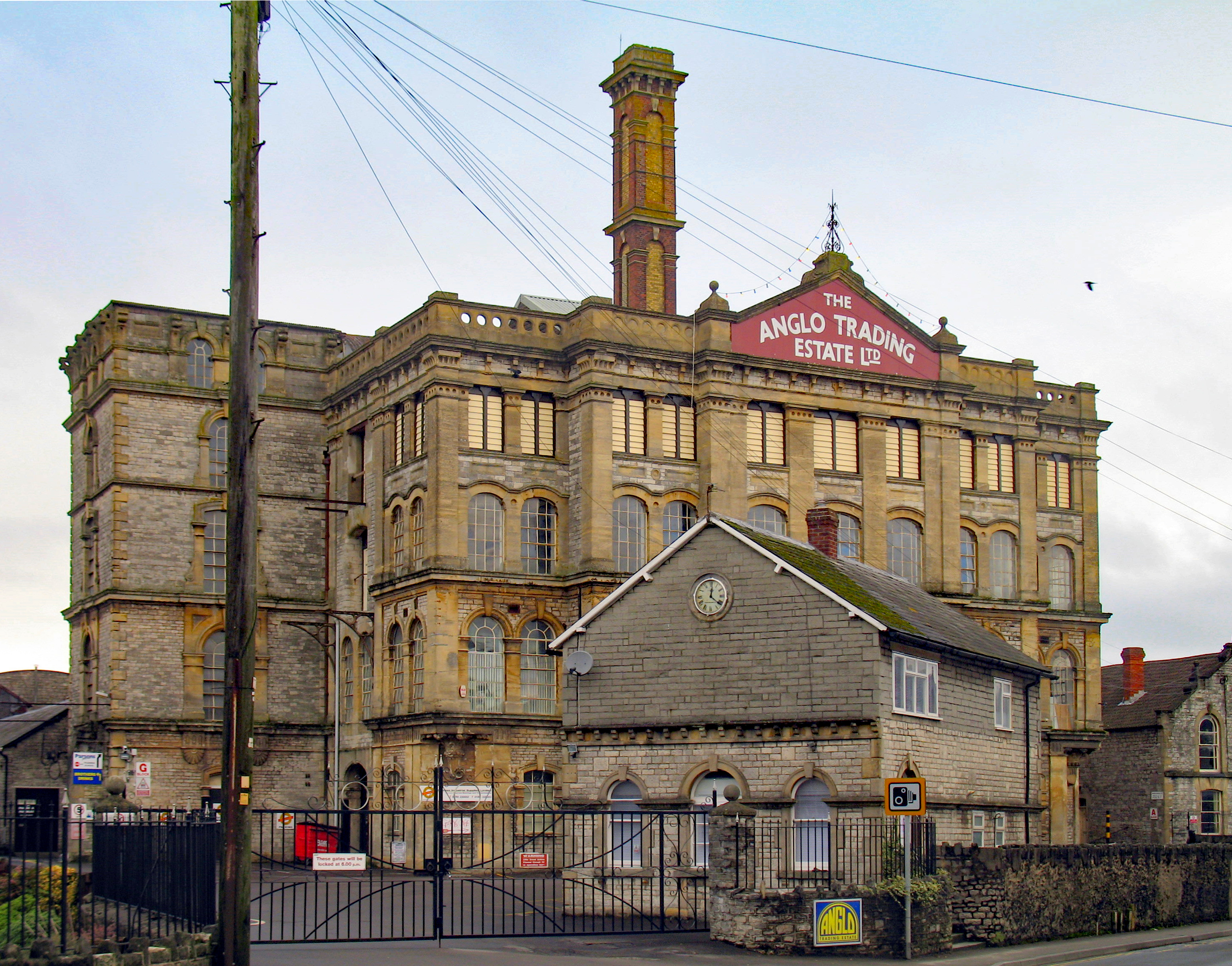
Anglo-Bavarian Brewery
The Anglo-Bavarian Brewery was originally established in Shepton Mallet in Somerset, England in 1864. It has been claimed as the first lager brewery in...
Nearby Amenities
Located within 500m of 51.195631,-2.57849Have you been to Yewtree Wood?
Leave your review of Yewtree Wood below (or comments, questions and feedback).