Watery Combe
Valley in Somerset Mendip
England
Watery Combe
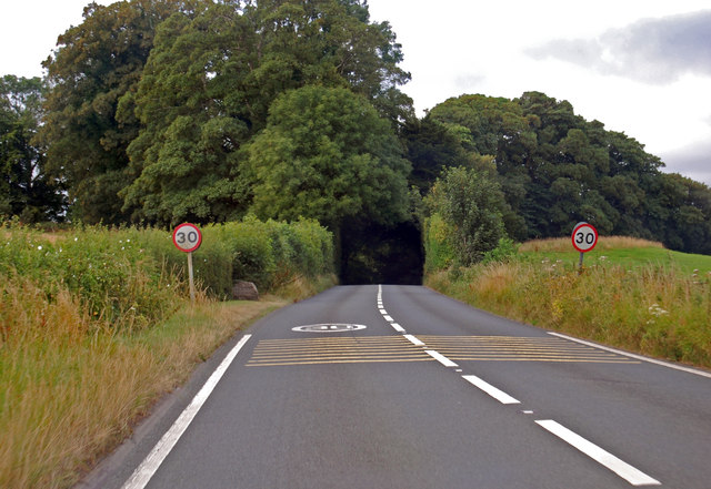
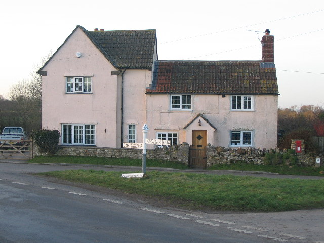
Watery Combe is a picturesque valley nestled in the county of Somerset, England. Located on the southern slopes of the Mendip Hills, this idyllic area offers a stunning natural landscape and a rich history dating back centuries.
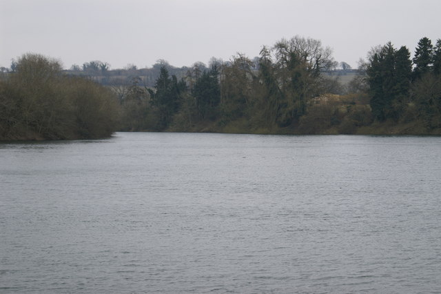
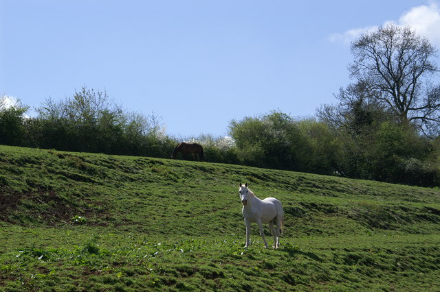
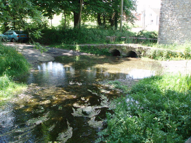
The valley is characterized by its lush greenery, rolling hills, and a small stream that meanders through the landscape, giving it its name. The stream, known as Watery Combe Brook, adds to the charm of the valley, creating a tranquil atmosphere that attracts visitors and nature enthusiasts alike.
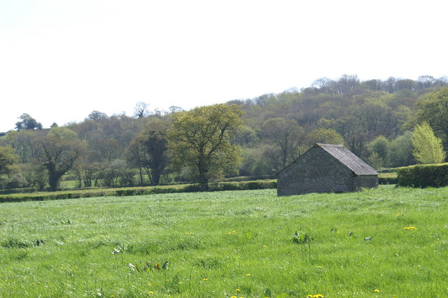
Surrounded by dense woodland, Watery Combe is a haven for wildlife and provides a habitat for various species of birds, animals, and plants. The valley offers a range of hiking trails, allowing visitors to explore its scenic beauty and enjoy breathtaking views of the surrounding countryside.
In addition to its natural wonders, Watery Combe has a fascinating history. The area was once home to prehistoric settlements, and evidence of their existence can still be found in the form of ancient burial mounds and artifacts. The valley was also a hub of industrial activity during the 19th century, with several mills and mines operating in the area.
Today, Watery Combe remains a charming and peaceful retreat, attracting visitors who appreciate its unspoiled beauty and tranquility. Whether it's a leisurely stroll along the stream, a hike through the hills, or simply a moment of relaxation in nature, Watery Combe offers a delightful escape from the hustle and bustle of modern life.
If you have any feedback on the listing, please let us know in the comments section below.
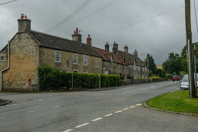
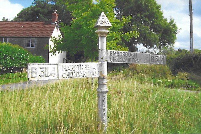
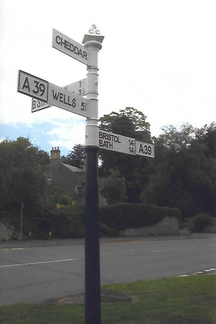
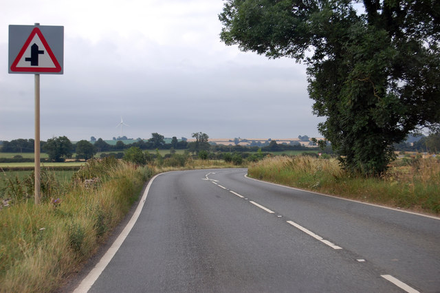
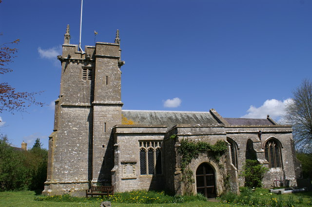
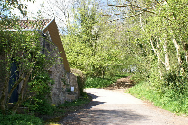
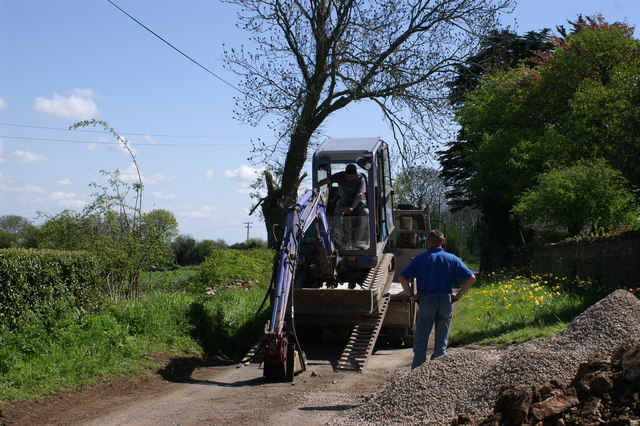
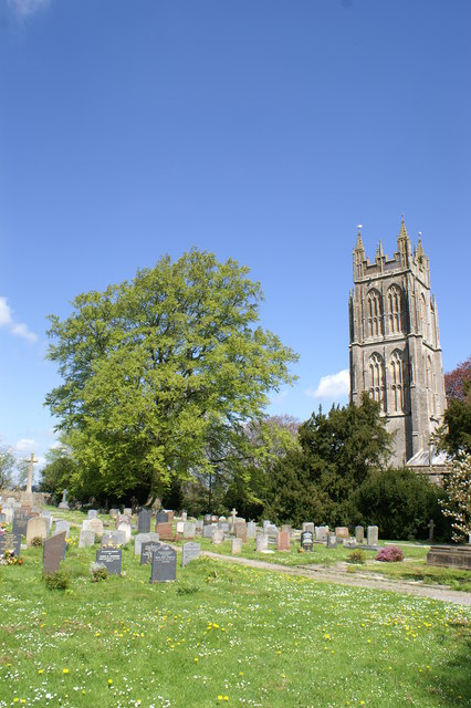
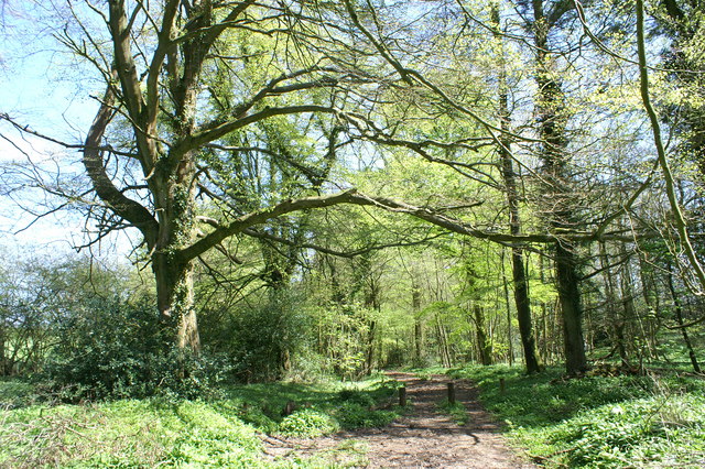
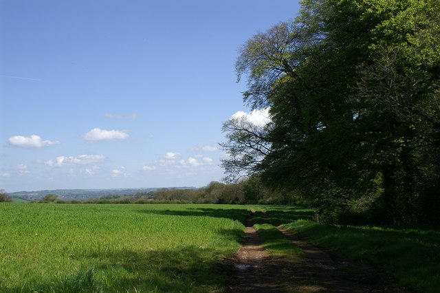
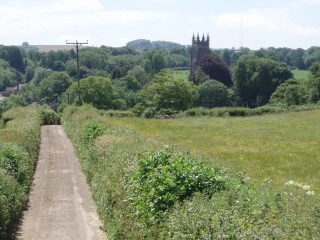
Watery Combe Images
Images are sourced within 2km of 51.278059/-2.5879265 or Grid Reference ST5953. Thanks to Geograph Open Source API. All images are credited.

Watery Combe is located at Grid Ref: ST5953 (Lat: 51.278059, Lng: -2.5879265)
Administrative County: Somerset
District: Mendip
Police Authority: Avon and Somerset
What 3 Words
///opts.dressings.follow. Near East Harptree, Somerset
Nearby Locations
Related Wikis
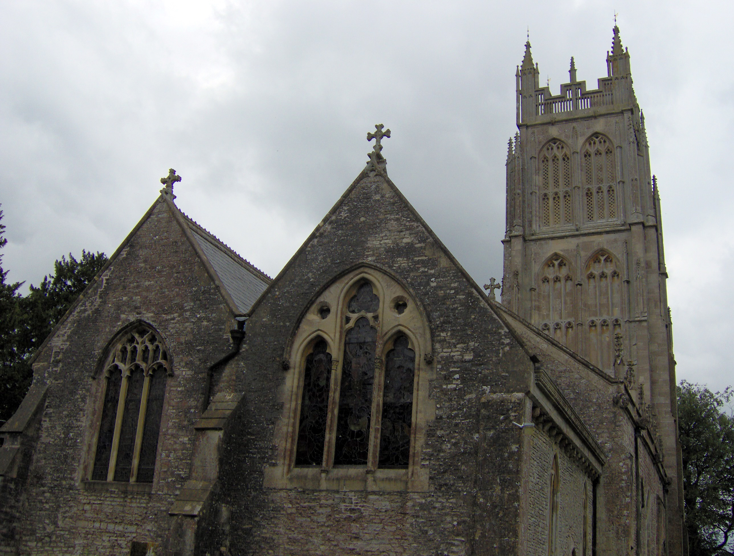
Chewton Mendip
Chewton Mendip is a village and civil parish in Somerset, England. It is situated 4 miles (6 km) north of Wells, 16 miles (26 km) south of Bath and Bristol...
Litton, Somerset
Litton (grid reference ST593546) is a small village and civil parish between Chewton Mendip and West Harptree in the Mendip Hills, Somerset, England. The...
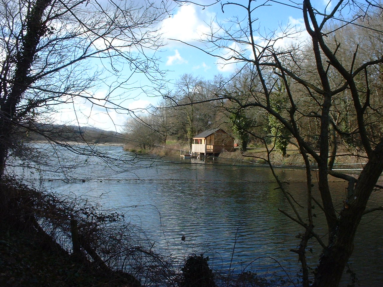
Litton Reservoirs
Litton Reservoirs (also known as Coley Reservoirs) (grid reference ST590553) are two reservoirs near the village of Litton, Somerset, England. They are...
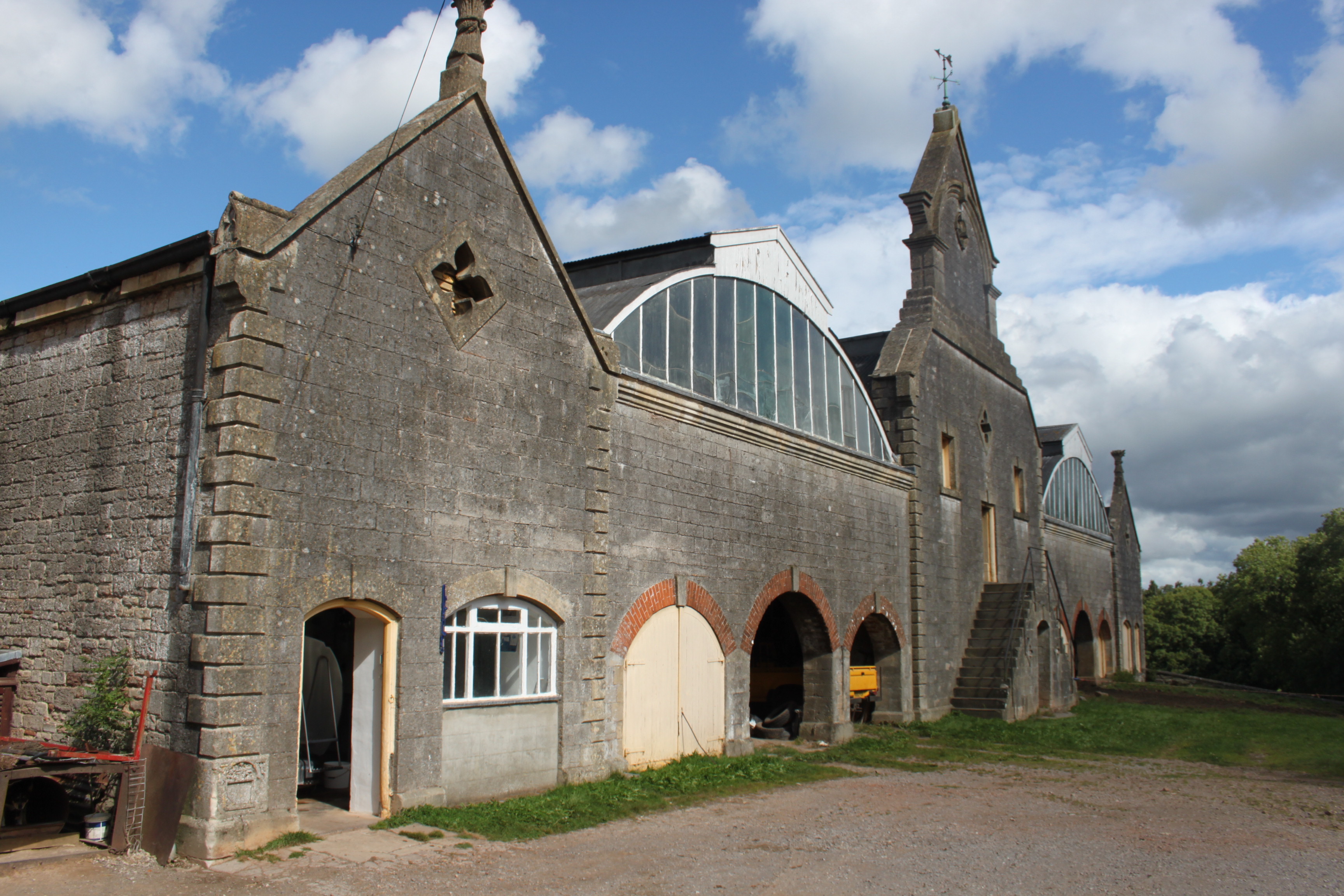
Eastwood Manor Farm Steading
Eastwood Manor Farm Steading in East Harptree, Somerset, England is a Grade I listed building.The farm including the site for the construction of Eastwood...

Eastwood Manor
Eastwood Manor is a Grade II listed building in the village of East Harptree in the English County of Somerset. == History == A house was built at Eastwood...

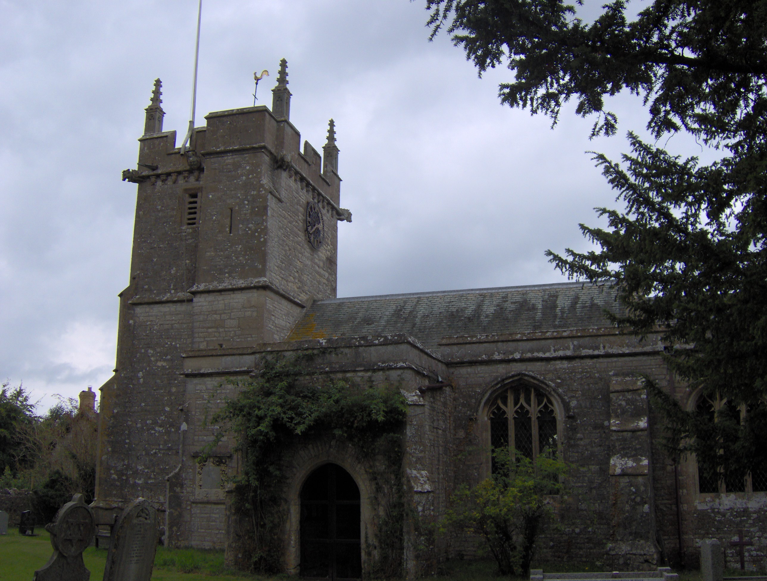
Emborough
Emborough is a village and civil parish 5 miles (8.0 km) north of Shepton Mallet, and 5 miles (8.0 km) north east of Wells, in the Mendip district of Somerset...
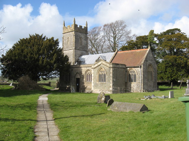
Church of the Blessed Virgin Mary, Emborough
The Church of the Blessed Virgin Mary in Emborough, Somerset, England is medieval in origin but underwent extensive renovation in the 18th century. It...
Ston Easton
Ston Easton is a linear village and civil parish in the English county of Somerset. It is 14 miles (23 km) southwest of Bath and 7 miles (11 km) north...
Nearby Amenities
Located within 500m of 51.278059,-2.5879265Have you been to Watery Combe?
Leave your review of Watery Combe below (or comments, questions and feedback).