Ford
Settlement in Somerset Mendip
England
Ford
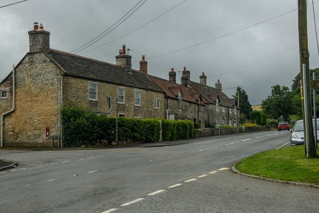
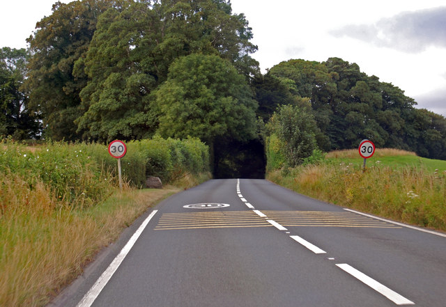
Ford is a small village located in the county of Somerset, England. Situated on the banks of the River Brue, it is approximately 3 miles south of the town of Glastonbury. The village falls within the administrative district of Mendip.
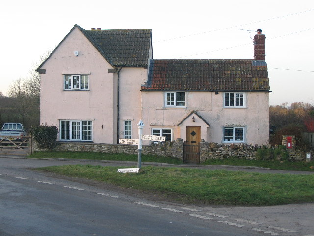
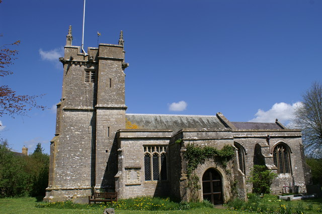
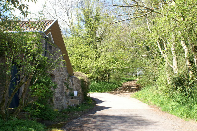
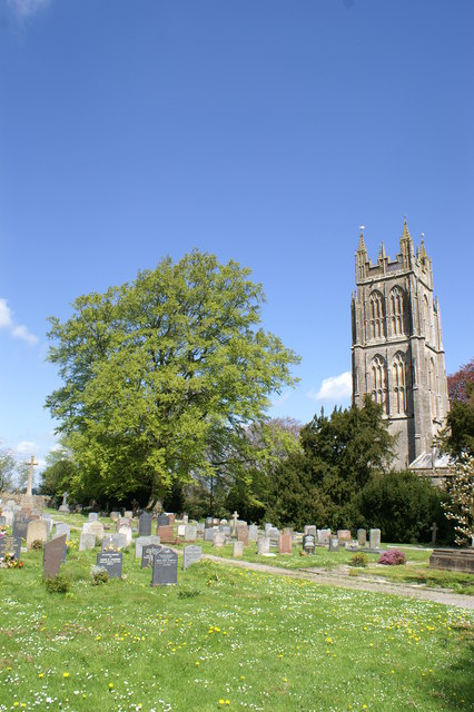
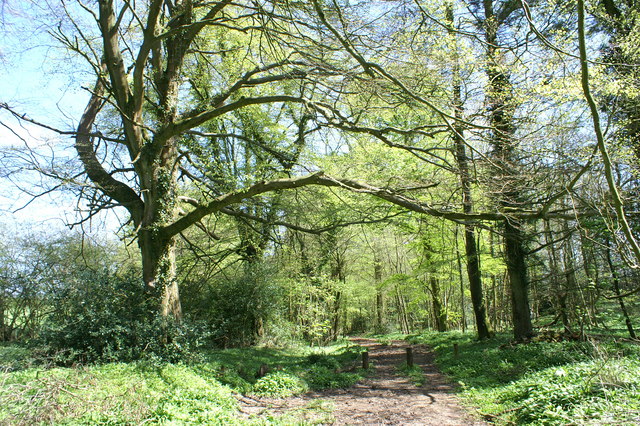
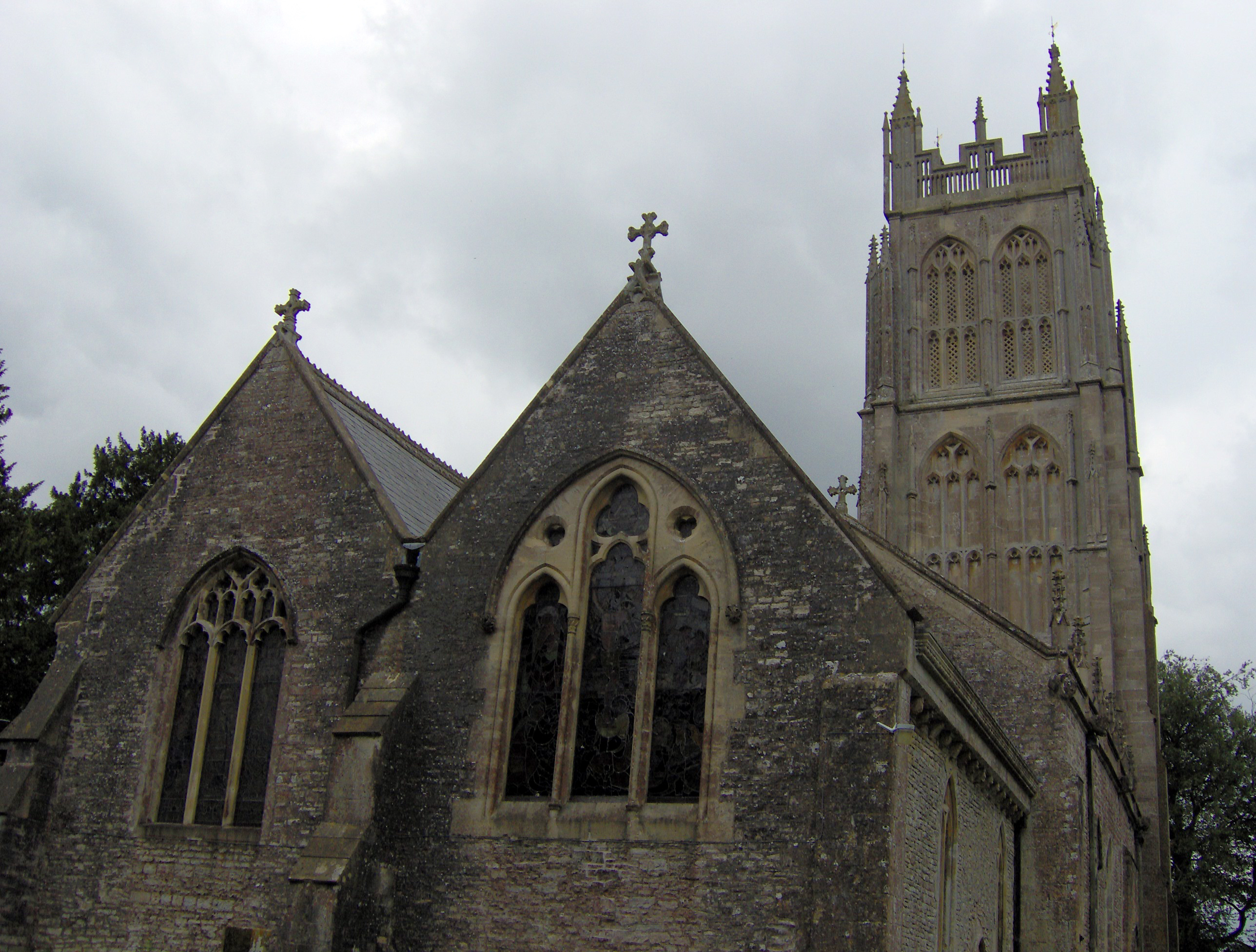
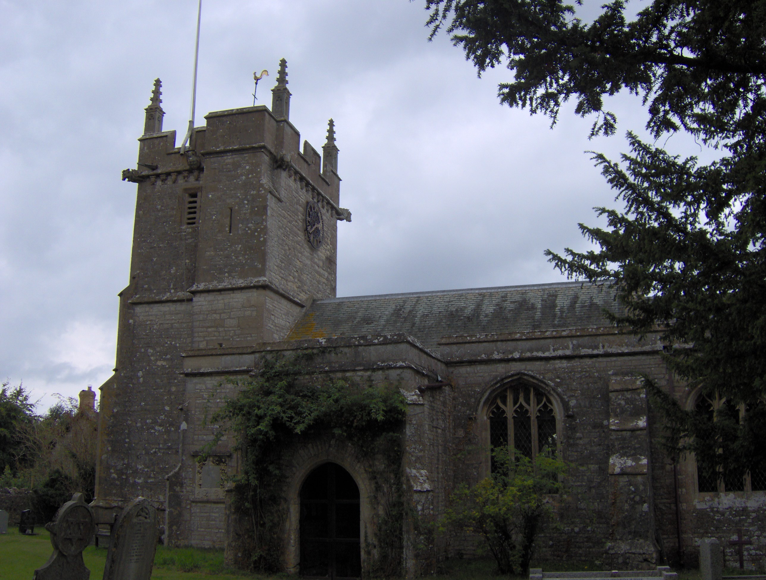
With a population of around 800 residents, Ford boasts a tranquil and picturesque setting, surrounded by rolling countryside and farmland. The village is characterized by its charming traditional stone houses and cottages, giving it a quintessential English village feel.
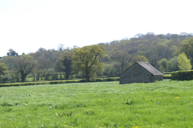
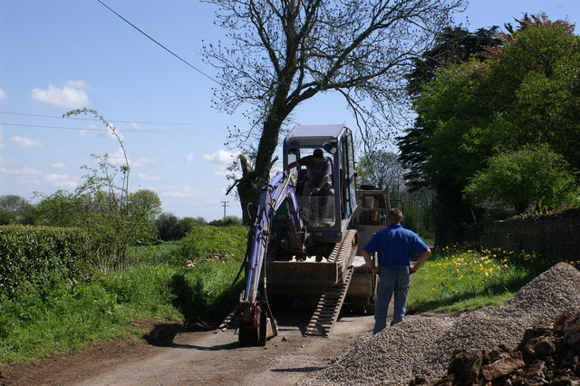
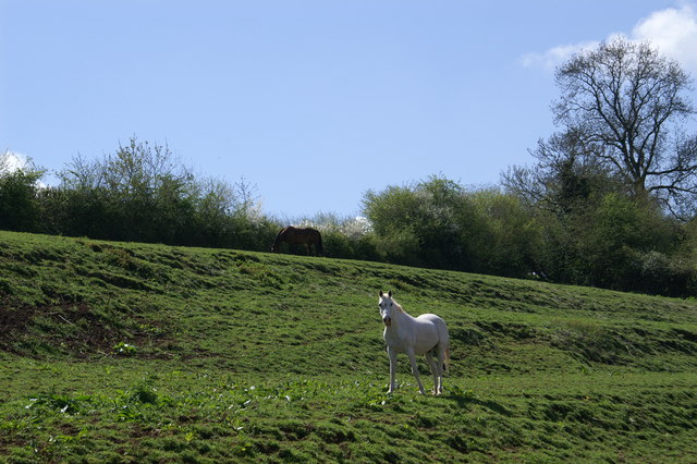
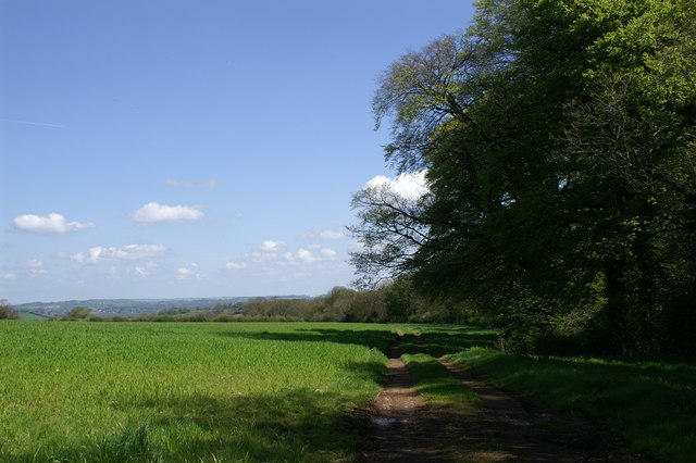
Ford is primarily an agricultural community, with farming being the dominant industry in the area. The village is known for its dairy farms and cattle, and the surrounding fields are often dotted with grazing livestock. The fertile soil and favorable climate make it an ideal location for farming activities.
In terms of amenities, Ford has a local pub, which serves as a social hub for residents and visitors alike. The village also has a small primary school, providing education for the local children. For additional amenities and services, residents can easily access nearby towns such as Glastonbury and the city of Wells.
The village of Ford offers a peaceful and idyllic lifestyle, with its close-knit community and natural beauty. Its proximity to larger towns and cities ensures that residents have access to a range of facilities and opportunities while still enjoying the tranquility of rural living.
If you have any feedback on the listing, please let us know in the comments section below.
Ford Images
Images are sourced within 2km of 51.280457/-2.588676 or Grid Reference ST5953. Thanks to Geograph Open Source API. All images are credited.


Ford is located at Grid Ref: ST5953 (Lat: 51.280457, Lng: -2.588676)
Administrative County: Somerset
District: Mendip
Police Authority: Avon and Somerset
What 3 Words
///upwardly.tries.sardine. Near East Harptree, Somerset
Nearby Locations
Related Wikis
Chewton Mendip
Chewton Mendip is a village and civil parish in Somerset, England. It is situated 4 miles (6 km) north of Wells, 16 miles (26 km) south of Bath and Bristol...
Litton, Somerset
Litton (grid reference ST593546) is a small village and civil parish between Chewton Mendip and West Harptree in the Mendip Hills, Somerset, England. The...
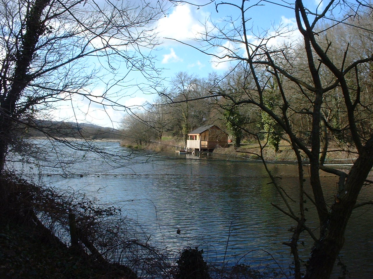
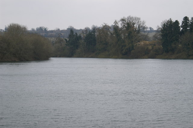
Litton Reservoirs
Litton Reservoirs (also known as Coley Reservoirs) (grid reference ST590553) are two reservoirs near the village of Litton, Somerset, England. They are...
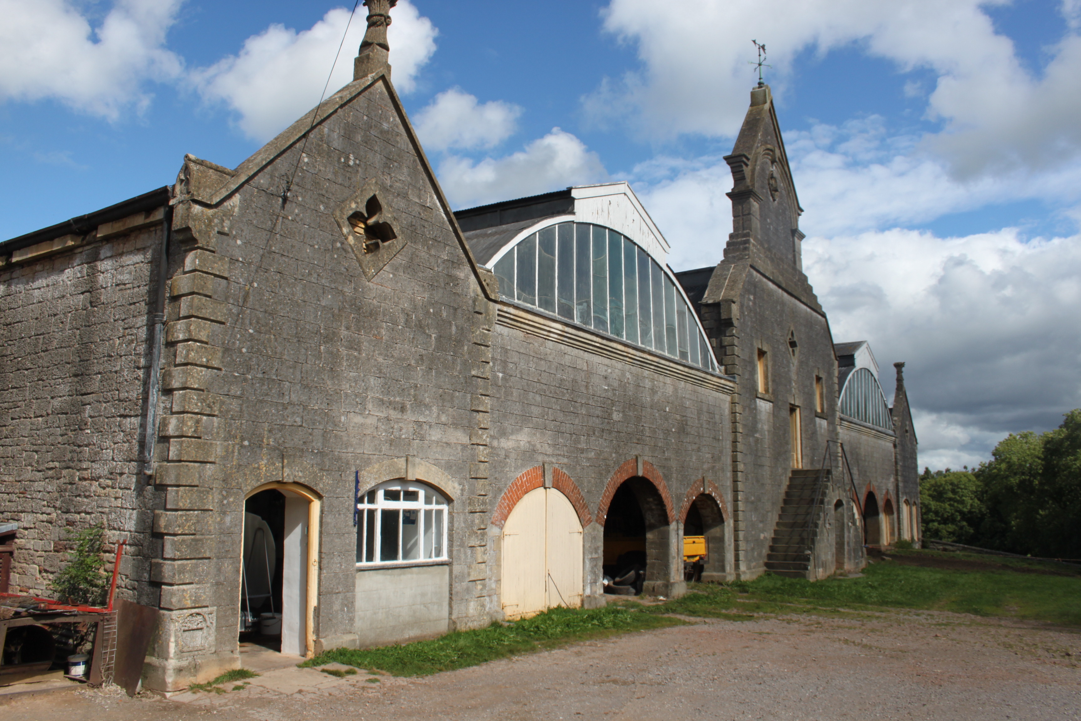
Eastwood Manor Farm Steading
Eastwood Manor Farm Steading in East Harptree, Somerset, England is a Grade I listed building.The farm including the site for the construction of Eastwood...
Nearby Amenities
Located within 500m of 51.280457,-2.588676Have you been to Ford?
Leave your review of Ford below (or comments, questions and feedback).