Barelegs Brake
Wood, Forest in Somerset
England
Barelegs Brake

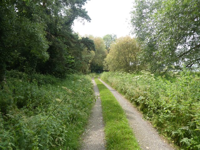
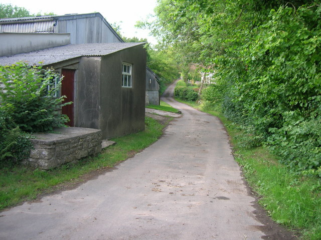
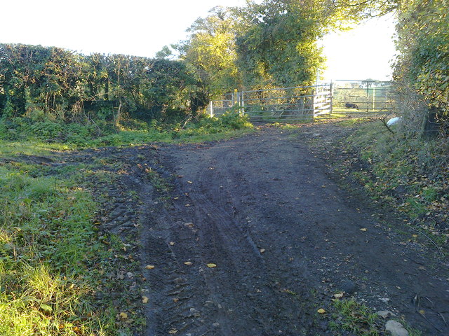
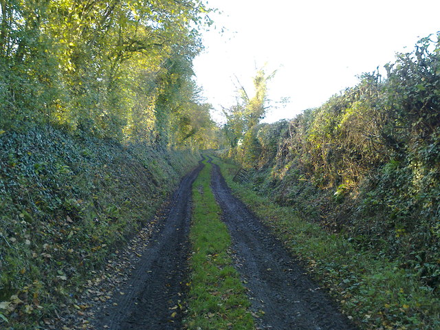
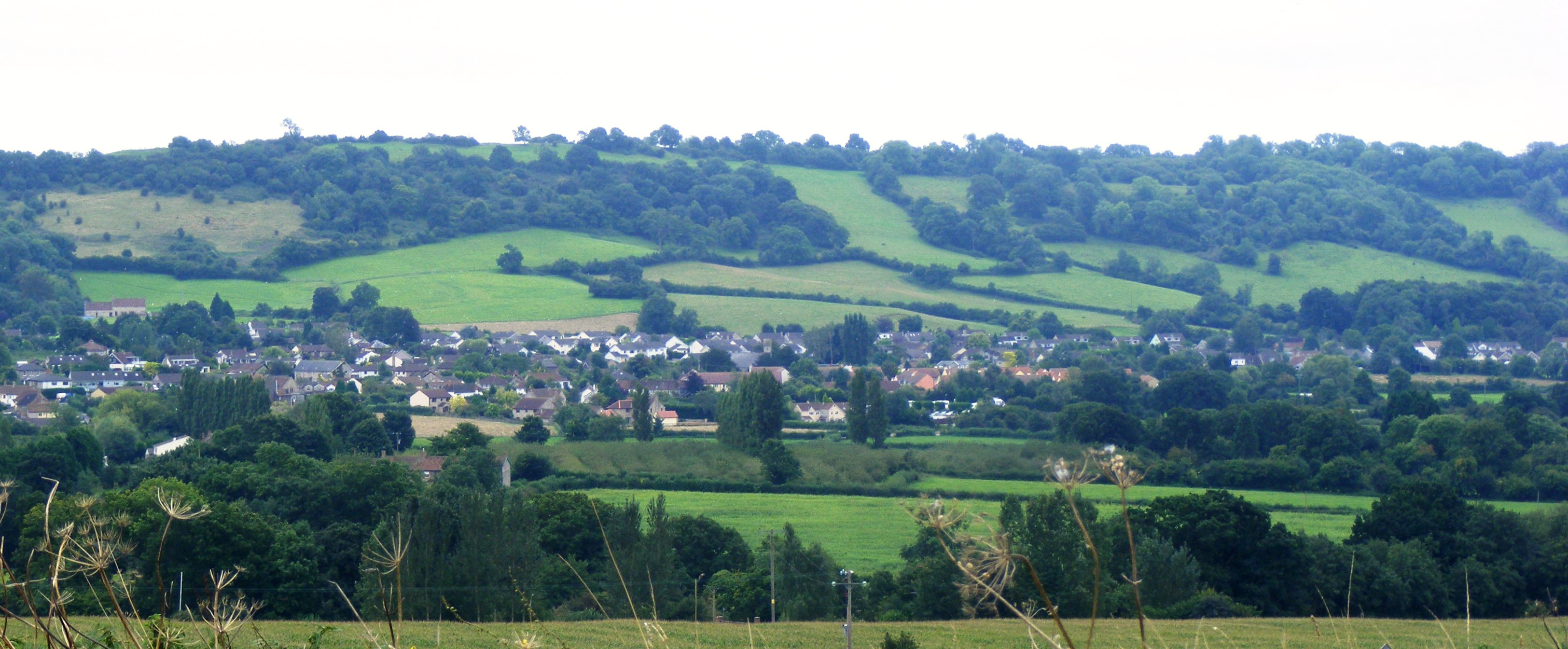
Barelegs Brake is a picturesque woodland area nestled in the heart of Somerset, England. Located near the village of Wood, this enchanting forest is a nature lover's paradise. Covering an area of approximately 50 acres, Barelegs Brake offers a peaceful retreat away from the hustle and bustle of everyday life.
The woodland is predominantly composed of native broadleaf trees, including oak, ash, and beech, which create a dense canopy overhead. This creates a cool and shady environment, perfect for walking and exploring on hot summer days. The forest floor is adorned with a carpet of wildflowers, adding bursts of color to the natural landscape.
Barelegs Brake is home to a diverse range of wildlife, making it an ideal spot for birdwatching and animal enthusiasts. Visitors may catch a glimpse of various species, such as woodpeckers, owls, and squirrels. The tranquil atmosphere also attracts a variety of butterflies and insects, adding to the area's natural beauty.
The forest is crisscrossed with a network of well-maintained footpaths, providing opportunities for leisurely strolls or more adventurous hikes. Along the trails, visitors can discover hidden ponds, babbling brooks, and charming picnic spots. The forest also features a small children's play area, ensuring that families can enjoy a day out in nature together.
Barelegs Brake is a true gem in the Somerset countryside, offering visitors a chance to reconnect with nature and enjoy the simple pleasures of woodland exploration. Whether you are seeking a peaceful retreat, an opportunity to observe wildlife, or a place to enjoy outdoor activities, this enchanting forest is sure to captivate and inspire.
If you have any feedback on the listing, please let us know in the comments section below.
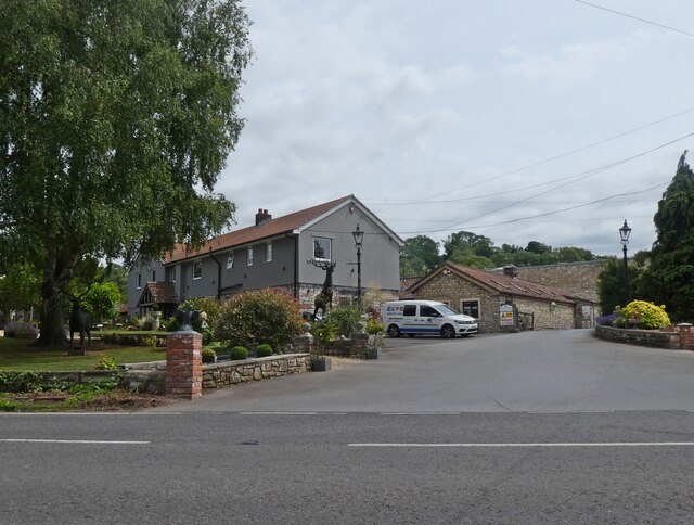
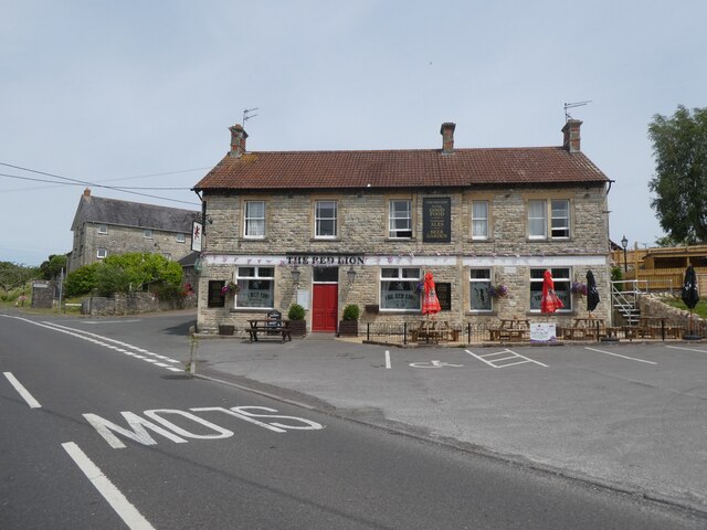
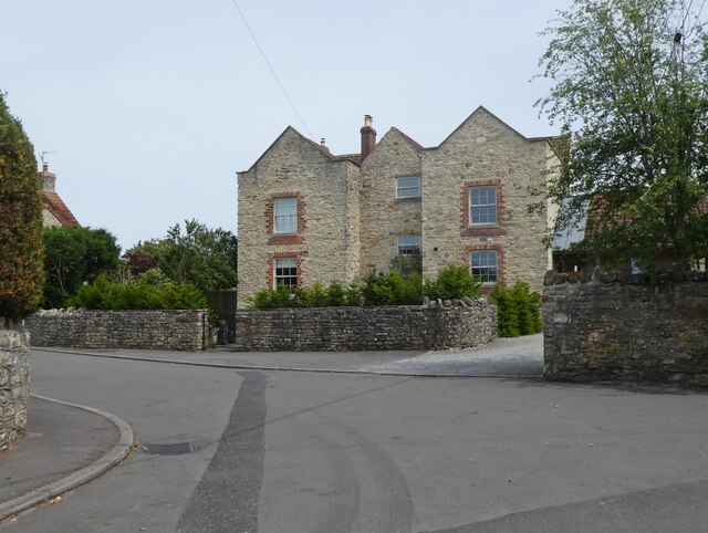
Barelegs Brake Images
Images are sourced within 2km of 51.327588/-2.5838237 or Grid Reference ST5958. Thanks to Geograph Open Source API. All images are credited.


Barelegs Brake is located at Grid Ref: ST5958 (Lat: 51.327588, Lng: -2.5838237)
Unitary Authority: Bath and North East Somerset
Police Authority: Avon and Somerset
What 3 Words
///megawatt.agreed.scouted. Near Bishop Sutton, Somerset
Nearby Locations
Related Wikis
Burledge Hill
Burledge Hill (grid reference ST588587) is on the southern edge of the village of Bishop Sutton, Somerset, England. It is the site of a Site of Special...

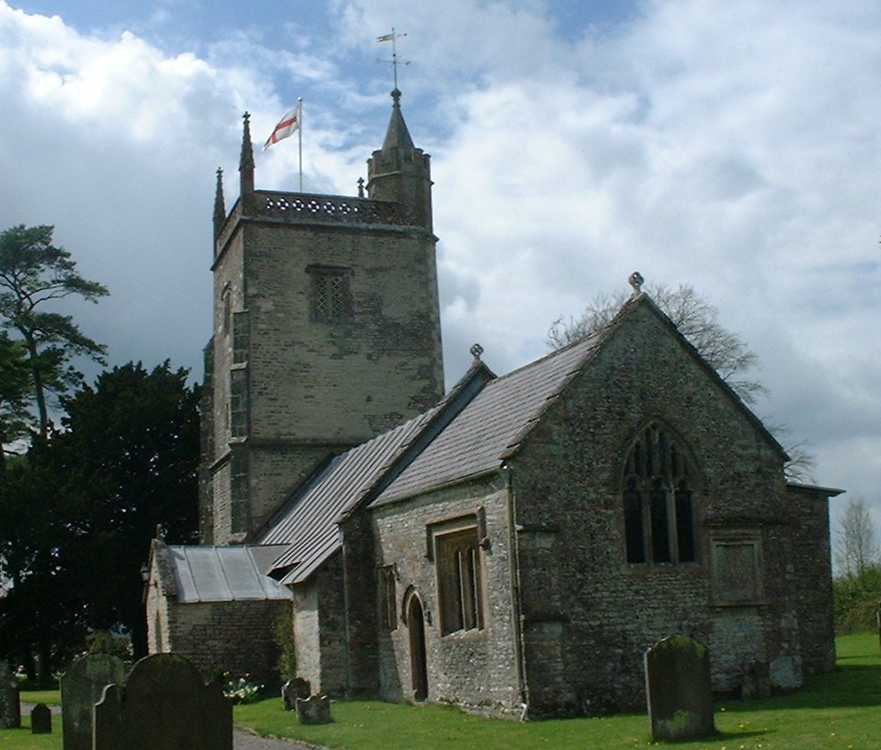
Church of St Nicholas and the Blessed Virgin Mary, Stowey
The Anglican Parish Church of St Nicholas and the Blessed Virgin Mary at Stowey within the English county of Somerset dates from the 13th century. It is...
Stowey
Stowey is a small village and former civil parish, now in the parish of Stowey Sutton, in the Bath and North East Somerset district, in the ceremonial...
Bishop Sutton
Bishop Sutton (grid reference ST587597) is a village on the northern slopes of the Mendip Hills, within the affluent Chew Valley in Somerset. It lies east...

Stowey-Sutton
Stowey-Sutton is a civil parish in the Bath and North East Somerset District of Somerset, England within the Chew Valley. The parish contains the villages...

Bishop Sutton A.F.C.
Bishop Sutton Association Football Club is a football club based in Bishop Sutton, Somerset, England. They are currently members of the Western League...

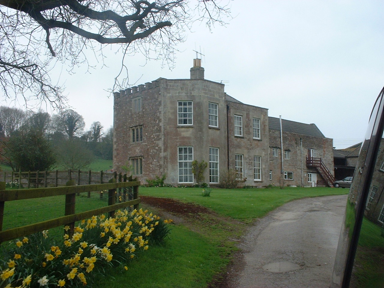
Sutton Court
Sutton Court is an English house remodelled by Thomas Henry Wyatt in the 1850s from a manor house built in the 15th and 16th centuries around a 14th-century...
St Margaret's Church, Hinton Blewett
The Church of St Margaret in Hinton Blewett, Somerset, England probably dates from the 13th century although parts are as late as the 16th or 17th century...
Nearby Amenities
Located within 500m of 51.327588,-2.5838237Have you been to Barelegs Brake?
Leave your review of Barelegs Brake below (or comments, questions and feedback).