Strawberry Wood
Wood, Forest in Somerset
England
Strawberry Wood

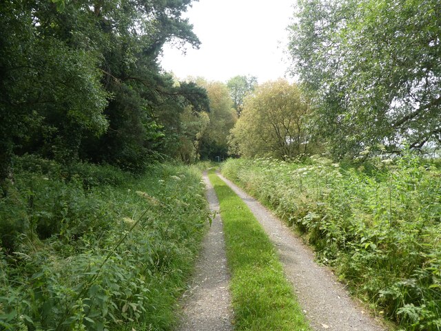
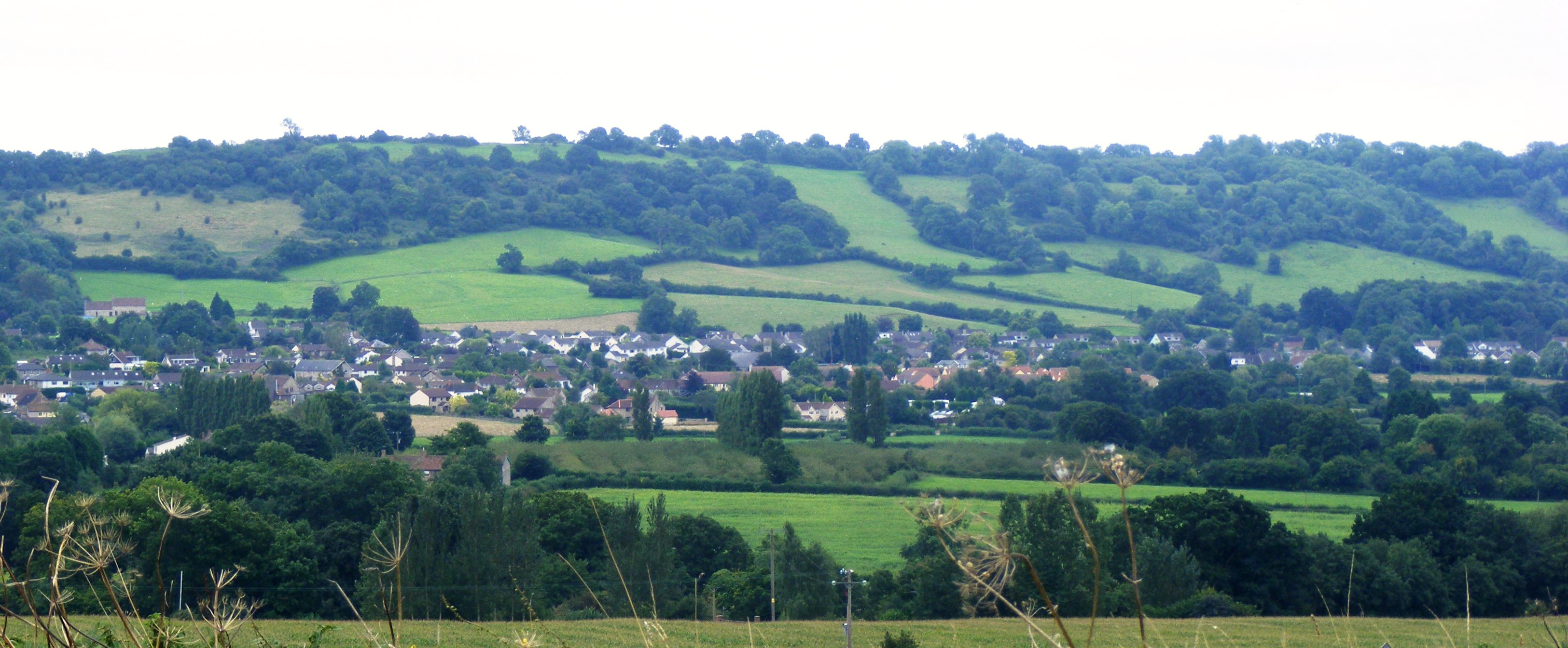
Strawberry Wood is a picturesque woodland located in Somerset, England. Spanning over 100 acres, it is a popular destination for nature enthusiasts and local residents alike. The wood is characterized by its dense canopy of trees, predominantly consisting of oak, ash, and beech, which create a vibrant and serene atmosphere.
The name "Strawberry Wood" is attributed to the abundance of wild strawberries that grow in the undergrowth during the summer months. This natural feature adds to the charm and allure of the woodland, attracting visitors who enjoy foraging for these sweet berries.
The wood is crisscrossed by a network of well-maintained walking trails, providing an opportunity for visitors to explore and immerse themselves in the natural beauty of the surroundings. Along these paths, one can encounter a variety of flora and fauna, including bluebells, primroses, and various species of birds and butterflies.
Strawberry Wood also boasts a small pond, creating a tranquil spot for reflection and a habitat for aquatic wildlife. It is not uncommon to spot ducks, dragonflies, and even the occasional heron near the water's edge.
For those seeking a peaceful escape from the hustle and bustle of everyday life, Strawberry Wood offers a perfect retreat. Its idyllic setting, abundant wildlife, and stunning scenery make it a cherished gem in the heart of Somerset.
If you have any feedback on the listing, please let us know in the comments section below.
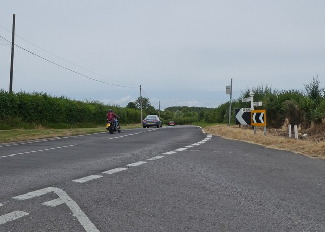
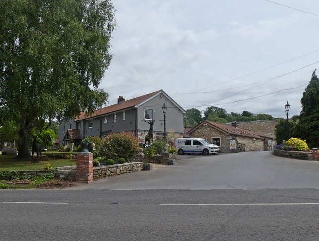
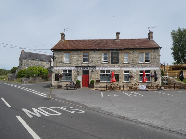
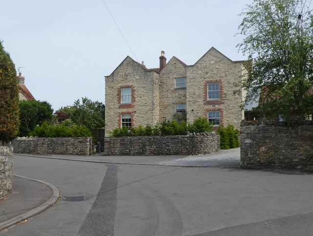
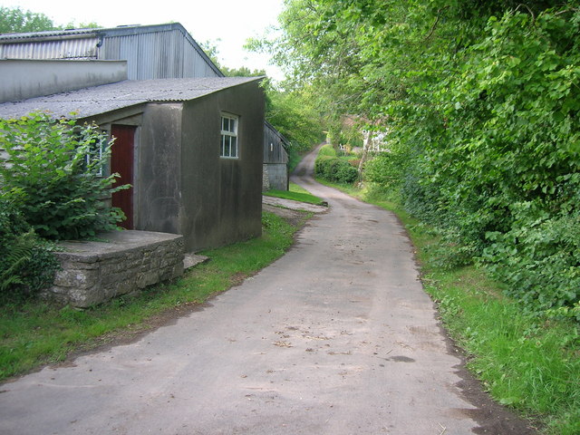
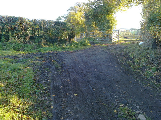
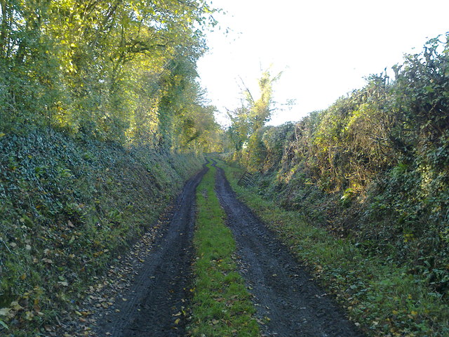
Strawberry Wood Images
Images are sourced within 2km of 51.327633/-2.5856039 or Grid Reference ST5958. Thanks to Geograph Open Source API. All images are credited.


Strawberry Wood is located at Grid Ref: ST5958 (Lat: 51.327633, Lng: -2.5856039)
Unitary Authority: Bath and North East Somerset
Police Authority: Avon and Somerset
What 3 Words
///everybody.leave.monkey. Near Bishop Sutton, Somerset
Nearby Locations
Related Wikis
Burledge Hill
Burledge Hill (grid reference ST588587) is on the southern edge of the village of Bishop Sutton, Somerset, England. It is the site of a Site of Special...

Church of St Nicholas and the Blessed Virgin Mary, Stowey
The Anglican Parish Church of St Nicholas and the Blessed Virgin Mary at Stowey within the English county of Somerset dates from the 13th century. It is...
Stowey
Stowey is a small village and former civil parish, now in the parish of Stowey Sutton, in the Bath and North East Somerset district, in the ceremonial...
Bishop Sutton
Bishop Sutton (grid reference ST587597) is a village on the northern slopes of the Mendip Hills, within the affluent Chew Valley in Somerset. It lies east...

Stowey-Sutton
Stowey-Sutton is a civil parish in the Bath and North East Somerset District of Somerset, England within the Chew Valley. The parish contains the villages...

Bishop Sutton A.F.C.
Bishop Sutton Association Football Club is a football club based in Bishop Sutton, Somerset, England. They are currently members of the Western League...

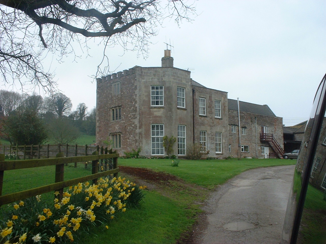
Sutton Court
Sutton Court is an English house remodelled by Thomas Henry Wyatt in the 1850s from a manor house built in the 15th and 16th centuries around a 14th-century...
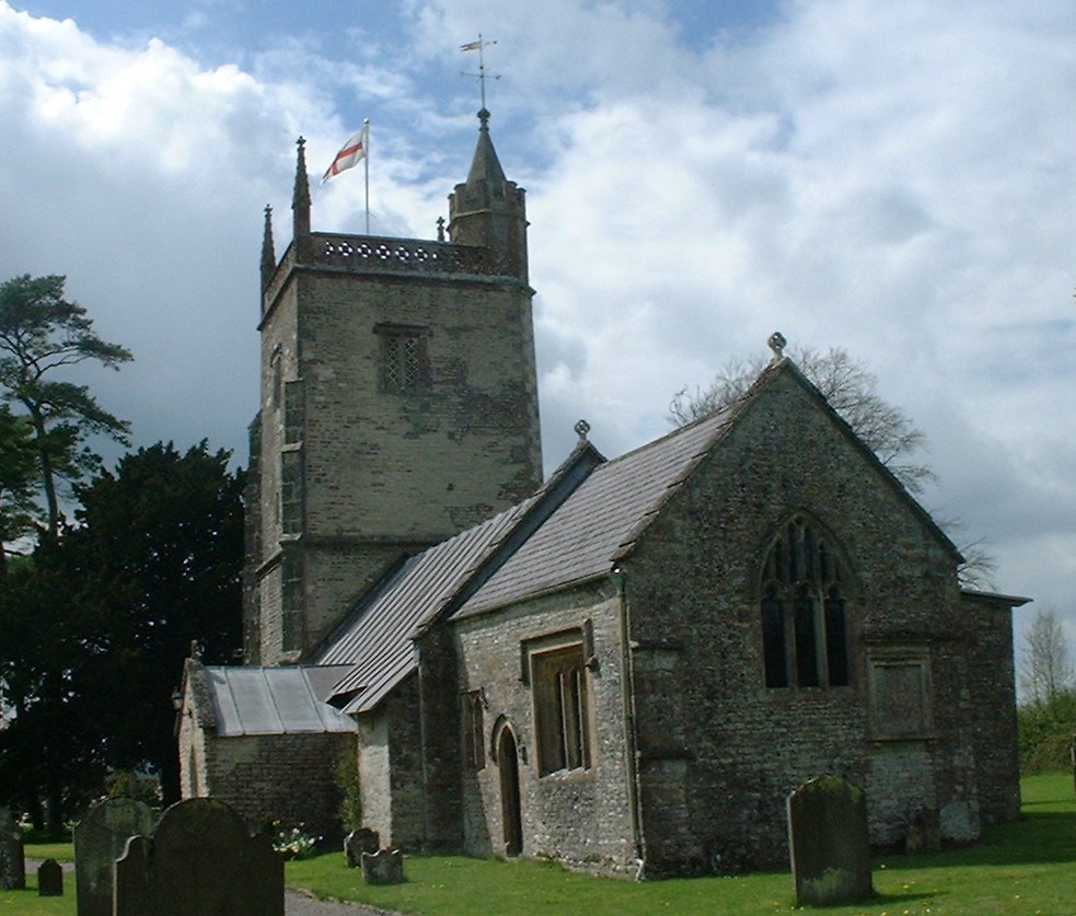
St Margaret's Church, Hinton Blewett
The Church of St Margaret in Hinton Blewett, Somerset, England probably dates from the 13th century although parts are as late as the 16th or 17th century...
Nearby Amenities
Located within 500m of 51.327633,-2.5856039Have you been to Strawberry Wood?
Leave your review of Strawberry Wood below (or comments, questions and feedback).