Barnard's Wood

Wood, Forest in Gloucestershire Forest of Dean

England

Barnard's Wood

St James’ Church Bream Sunday morning worshippers gathering outside the door.
St James’ Church Bream Credit: David Martin

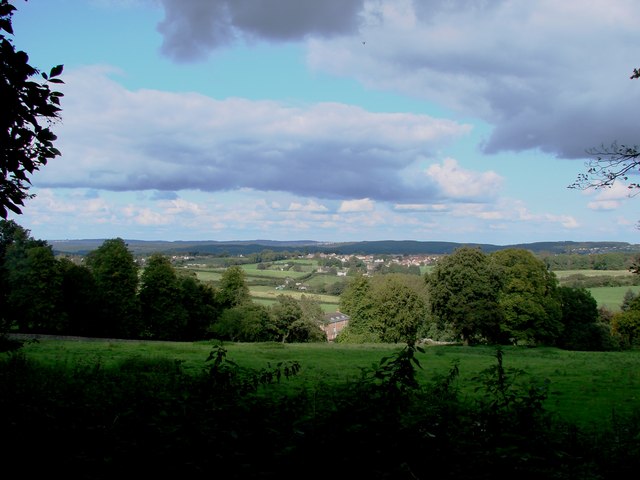
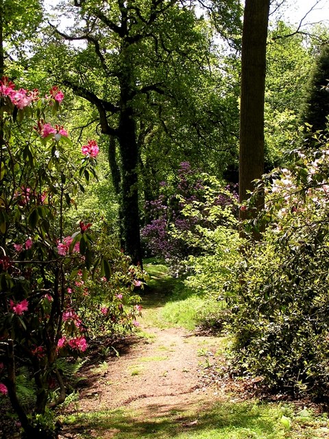
Barnard's Wood is a picturesque woodland located in Gloucestershire, England. Spanning over an area of approximately 50 hectares, it is nestled in the heart of the Forest of Dean, a region renowned for its natural beauty. The wood is named after Sir John Barnard, a prominent local landowner who donated the land to the Forestry Commission in the early 20th century.

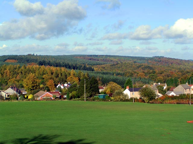
The wood is predominantly composed of a mix of broadleaf trees, including oak, beech, and birch, which create a diverse and vibrant ecosystem. These trees provide an ideal habitat for an array of flora and fauna, making it a popular spot for nature enthusiasts and wildlife photographers. Bluebells carpet the forest floor during spring, while in autumn, the woods come alive with a mesmerizing display of vibrant colors as the leaves change.

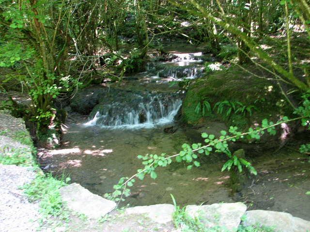
Barnard's Wood offers a network of well-maintained footpaths, allowing visitors to explore the woodland at their leisure. These trails wind their way through the dense foliage, leading to stunning viewpoints and peaceful picnic spots. The wood is also home to several streams and small waterfalls, which add to its tranquil atmosphere.

Furthermore, the wood is a designated Site of Special Scientific Interest (SSSI), highlighting its ecological importance. The varied habitats within the wood support a wide range of wildlife, including deer, badgers, foxes, and a multitude of bird species.

Overall, Barnard's Wood is a captivating natural haven in Gloucestershire, offering visitors a chance to immerse themselves in the beauty of the Forest of Dean and experience the wonders of the British countryside.

If you have any feedback on the listing, please let us know in the comments section below.

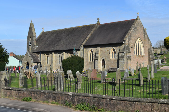
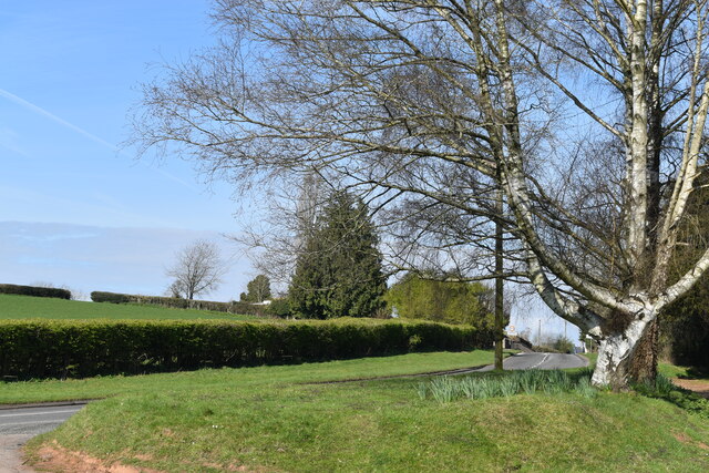
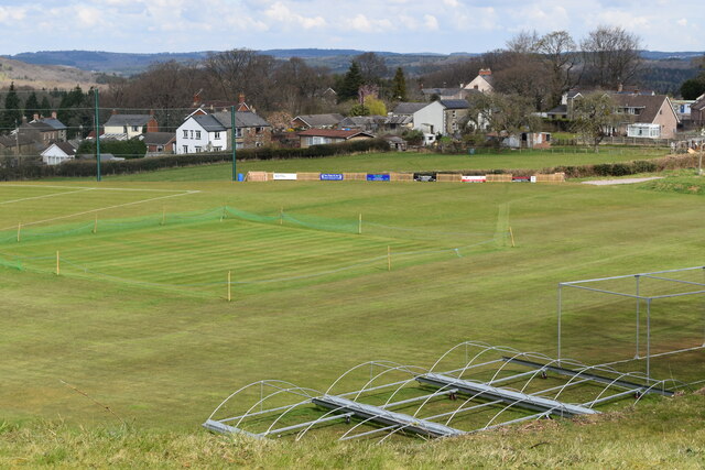
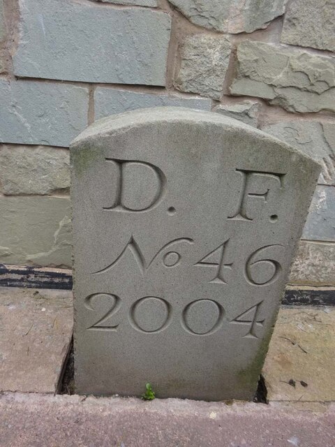
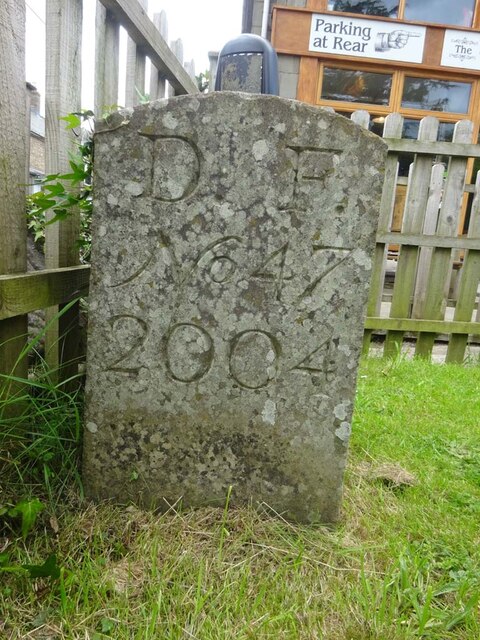
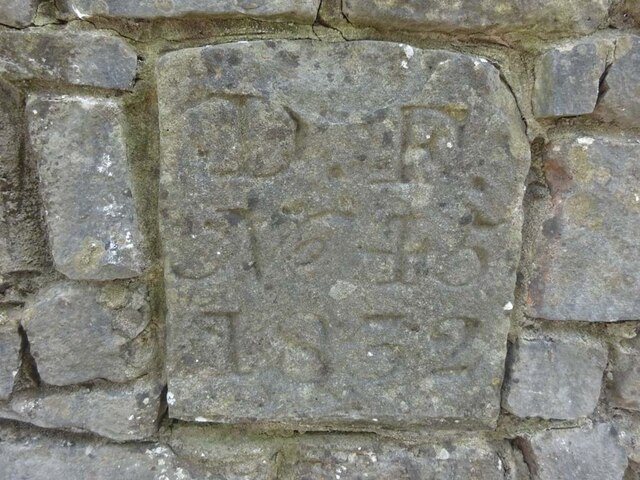
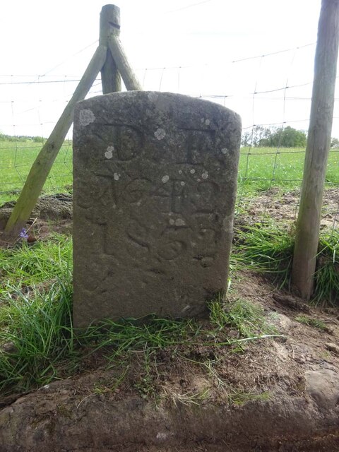
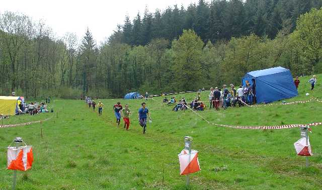
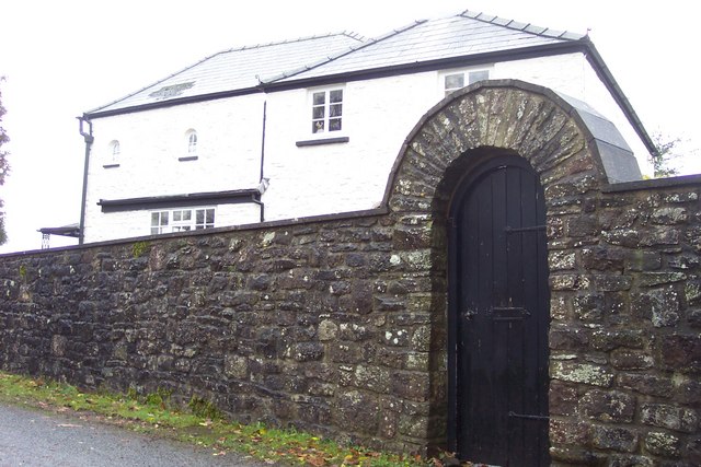
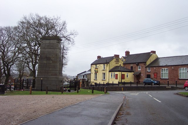
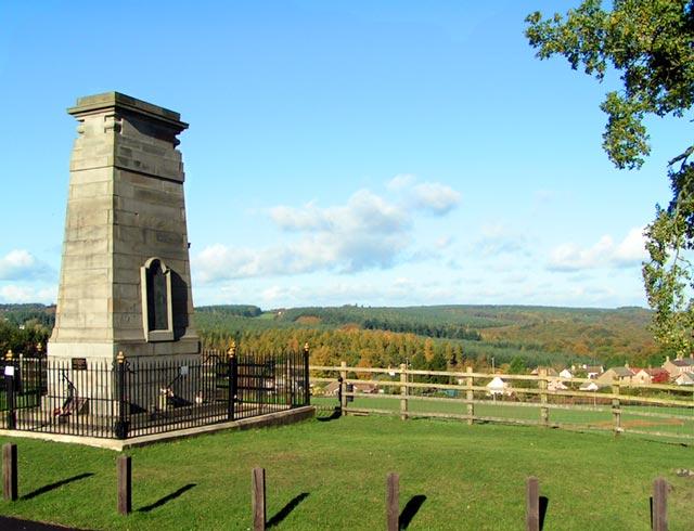
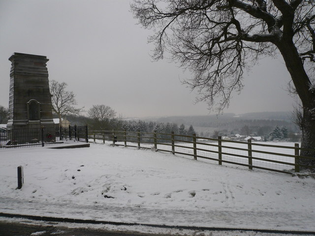
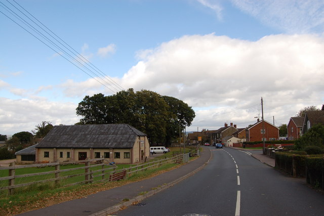
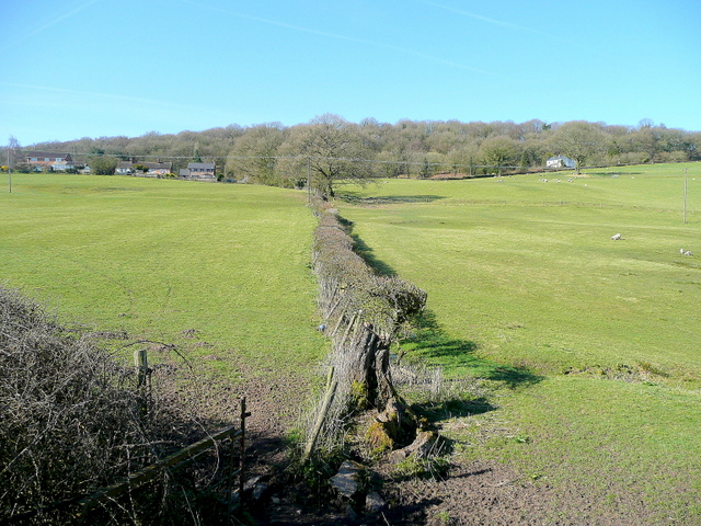
Barnard's Wood Images

Images are sourced within 2km of 51.736586/-2.5908772 or Grid Reference SO5904. Thanks to Geograph Open Source API. All images are credited.

St James’ Church Bream Sunday morning worshippers gathering outside the door.
St James’ Church Bream
Sunday morning worshippers gathering outside the door.
Wide verge beside Lyndsey Road
Sports ground at Bream Seen from the Cenotaph.
Sports ground at Bream
Seen from the Cenotaph.
Boundary Stone, Bream In the minuscule front garden of Drywell Cottage, High Street. Opposite a coffee shop that has a companion Royal Forest of Dean BS <a href="https://www.geograph.org.uk/photo/7483936">SO6005 : Boundary Stone, Bream</a>, in the outdoor eating garden.

Inscription: D. F. / Nᴼ. 46 / 2004

Milestone Society National ID: GL_DFWDEA46em
Boundary Stone, Bream
In the minuscule front garden of Drywell Cottage, High Street. Opposite a coffee shop that has a companion Royal Forest of Dean BS SO6005 : Boundary Stone, Bream, in the outdoor eating garden. Inscription: D. F. / Nᴼ. 46 / 2004 Milestone Society National ID: GL_DFWDEA46em
Boundary Stone, Bream In the garden eating area of a coffee shop in the High Street, opposite another Royal Forest of Dean BS <a href="https://www.geograph.org.uk/photo/7483933">SO6005 : Boundary Stone, Bream</a>, in the minuscule front garden of Drywell Cottage.

Inscription: D. F. / Nᴼ. 47 / 2004

Milestone Society National ID: GL_DFWDEA47em
Boundary Stone, Bream
In the garden eating area of a coffee shop in the High Street, opposite another Royal Forest of Dean BS SO6005 : Boundary Stone, Bream, in the minuscule front garden of Drywell Cottage. Inscription: D. F. / Nᴼ. 47 / 2004 Milestone Society National ID: GL_DFWDEA47em
Boundary Stone, Bream Embedded in the retaining garden wall of "Windy Ridge", in the ramped approach to the "Rising Sun" pub, High Street.

Inscription: D. F. / Nᴼ. 45 / 1832

Milestone Society National ID: GL_DFWDEA45em
Boundary Stone, Bream
Embedded in the retaining garden wall of "Windy Ridge", in the ramped approach to the "Rising Sun" pub, High Street. Inscription: D. F. / Nᴼ. 45 / 1832 Milestone Society National ID: GL_DFWDEA45em
Boundary Stone, Bream A Royal Forest of Dean BS on Gloucestershire footpath RWD56, on Pastors Hill farmland.

Inscription: D. F. / Nᴼ. 42 / 1832

Milestone Society National ID: GL_DFWDEA42em
Boundary Stone, Bream
A Royal Forest of Dean BS on Gloucestershire footpath RWD56, on Pastors Hill farmland. Inscription: D. F. / Nᴼ. 42 / 1832 Milestone Society National ID: GL_DFWDEA42em
Finish at British Orienteering Championships race, Lydney Park, Lydney, Glos. The British Orienteering Championships took place at Lydney Park in the Forest of Dean in 2004. The finish for the individual day race was in this field, which runs along a valley bottom. The orienteering took place in the mixed woodland surrounding the valley.
Finish at British Orienteering Championships race, Lydney Park, Lydney, Glos.
The British Orienteering Championships took place at Lydney Park in the Forest of Dean in 2004. The finish for the individual day race was in this field, which runs along a valley bottom. The orienteering took place in the mixed woodland surrounding the valley.
Heaven's Gate. Actually the name of the house.
Heaven's Gate.
Actually the name of the house.
Bream War Memorial. The yellow pub is the Rising Sun.
Bream War Memorial.
The yellow pub is the Rising Sun.
Bream Cenotaph Bream Cenotaph. The names of those who died in World War II are commemorated on the tablet. Those who died in World War I are listed on the North face.
Bream Cenotaph
Bream Cenotaph. The names of those who died in World War II are commemorated on the tablet. Those who died in World War I are listed on the North face.
Sun Green, Bream Most of Sun Green is now covered by the sports fields of Bream Sports Club. In the background are the hills of the Forest of Dean. To the right of the photographer is Bream Cenotaph SO 60306 05839.
Sun Green, Bream
Most of Sun Green is now covered by the sports fields of Bream Sports Club. In the background are the hills of the Forest of Dean. To the right of the photographer is Bream Cenotaph SO 60306 05839.
Manchester House at 'Bream Schools' Manchester House at 'Bream Schools', one of Bream's early shops - now Sally's Florist.
Manchester House at 'Bream Schools'
Manchester House at 'Bream Schools', one of Bream's early shops - now Sally's Florist.
The Rising Sun public House, Bream
Bream & Cinderford from above Prior's Lodge
Bream Cenotaph and beyond in winter Taken on the afternoon of 5th February 2009
Bream Cenotaph and beyond in winter
Taken on the afternoon of 5th February 2009
Bream Sports Club
Bream Sports Club
Show me another place!

Barnard's Wood is located at Grid Ref: SO5904 (Lat: 51.736586, Lng: -2.5908772)

Administrative County: Gloucestershire

District: Forest of Dean

Police Authority: Gloucestershire

What 3 Words

///auctioned.access.string. Near Bream, Gloucestershire

Nearby Locations

Priors Pool Barnard's Wood

Related Wikis

Devil's Chapel Scowles

Devil's Chapel Scowles (grid reference SO606045) is a 44.79-hectare (110.7-acre) biological Site of Special Scientific Interest in Gloucestershire, notified...

West Dean, Gloucestershire

West Dean is a civil parish, situated in the Forest of Dean district of Gloucestershire, England. == History == The Forest of Dean was an extra-parochial...

Bream, Gloucestershire

Bream (historically known as Breem) is a village in the Forest of Dean, west Gloucestershire, England. The population was around 3,170 in the 2011 census...

Brockhollands

Brockhollands is a hamlet located in the Forest of Dean. It lies between the village of Bream and the town of Lydney in Gloucestershire. It is an obscure...

Slade Brook

Slade Brook (grid reference SO564055) is a 3.63-hectare (9.0-acre) biological and geological Site of Special Scientific Interest in Gloucestershire, notified...

Lydney Park

Lydney Park is a 17th-century country estate surrounding Lydney House, located at Lydney in the Forest of Dean district in Gloucestershire, England. It...

Whitecroft railway station

Whitecroft & Bream railway station is a railway station on the Dean Forest Railway. == History == The station originally opened on 23 September 1875, and...

St Briavels

St Briavels (pronounced Brevels, once known as 'Ledenia Parva' (Little Lydney)), is a medium-sized village and civil parish in the Royal Forest of Dean...

Related Videos

Lockdown #3 - Rodmore

Yet another walk in woodland.

Scowles, Daffodils and Dogs

A five mile springtime walk from the Bream Scowles through daffodil woods with our dogs and one extra.

Bream Walk 1 Flour Mill

The birdsong is so LOUD at the moment. An early morning walk in the woods near Bream, Gloucestershire on 19th April 2020.

Nearby Amenities

Located within 500m of 51.736586,-2.5908772
Priors Mesne
Is In: Gloucestershire, UK
Place: locality
Source: NPE
Lat/Long: 51.7342169/-2.5914643
Created By: Potlatch 0.10f
Ele: 205
Natural: peak
Source: NPE
Lat/Long: 51.7363733/-2.5897833
Post Box
Post Box Type: wall
Ref: GL15 6
Royal Cypher: EVIIR
Royal Cypher Wikidata: Q33102324
Lat/Long: 51.7400299/-2.591152
The data included in this document is from www.openstreetmap.org. The data is made available under ODbL.

Have you been to Barnard's Wood?

Leave your review of Barnard's Wood below (or comments, questions and feedback).