Barelegs Brake
Valley in Somerset
England
Barelegs Brake

Barelegs Brake is a small village located in the picturesque Somerset Valley, England. Situated in the Mendip Hills, this tranquil settlement offers a charming countryside escape for visitors and residents alike. The name "Barelegs Brake" is said to originate from a local legend that tells the story of a Saxon warrior who lost his legs in battle and settled in the area.
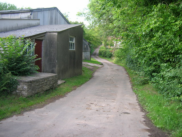
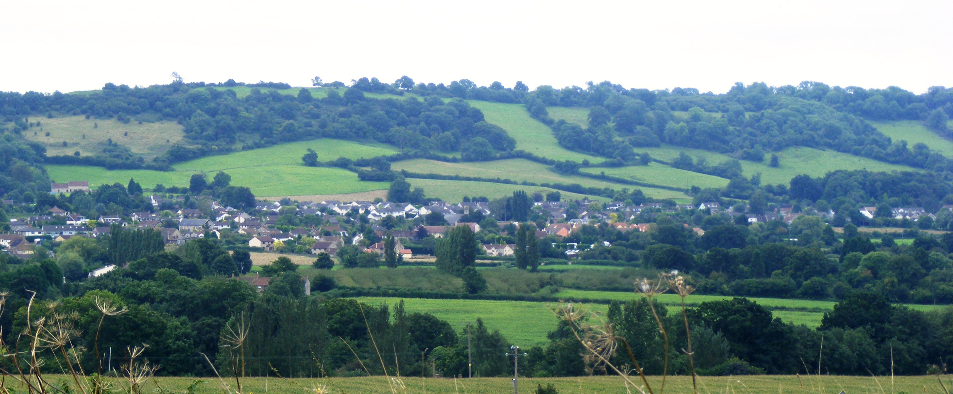
Nestled amidst rolling hills and lush green fields, Barelegs Brake boasts a unique natural beauty. The village is surrounded by an abundance of flora and fauna, making it a haven for nature enthusiasts and wildlife lovers. Visitors can explore the nearby Mendip Hills Area of Outstanding Natural Beauty, which offers stunning vistas, scenic hiking trails, and opportunities for birdwatching.
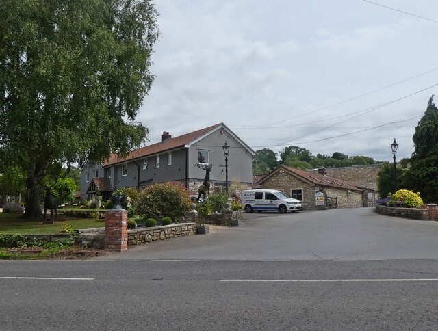
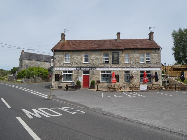
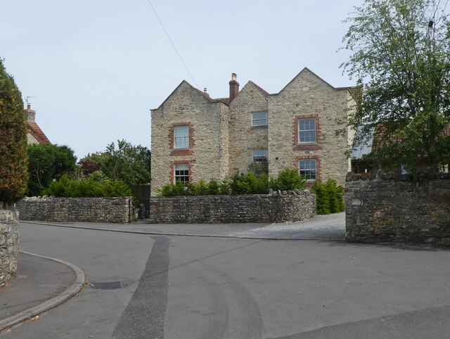
The village itself is a quaint and tight-knit community, with a small population of friendly residents. The local architecture reflects the area's rich history, with charming cottages and stone houses dotting the landscape. The village pub, The Barelegs Inn, is a popular gathering spot for locals and visitors alike, offering traditional English fare and a cozy atmosphere.
Barelegs Brake is also known for its annual summer fair, which brings the community together for a day of festivities and celebration. The fair includes live music, food stalls, games, and various activities for all ages.
For those seeking a peaceful retreat in the heart of the Somerset Valley, Barelegs Brake offers a true escape from the hustle and bustle of city life. With its natural beauty, friendly community, and rich history, this charming village is a hidden gem waiting to be discovered.
If you have any feedback on the listing, please let us know in the comments section below.
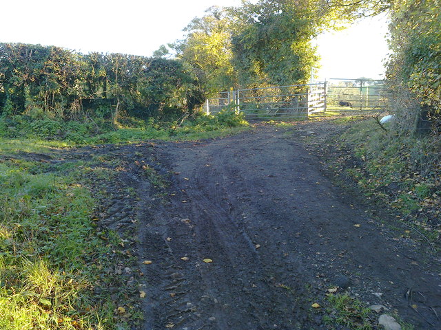
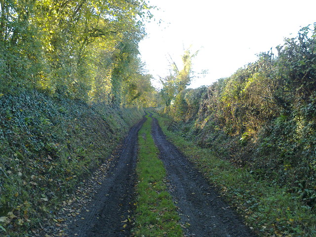
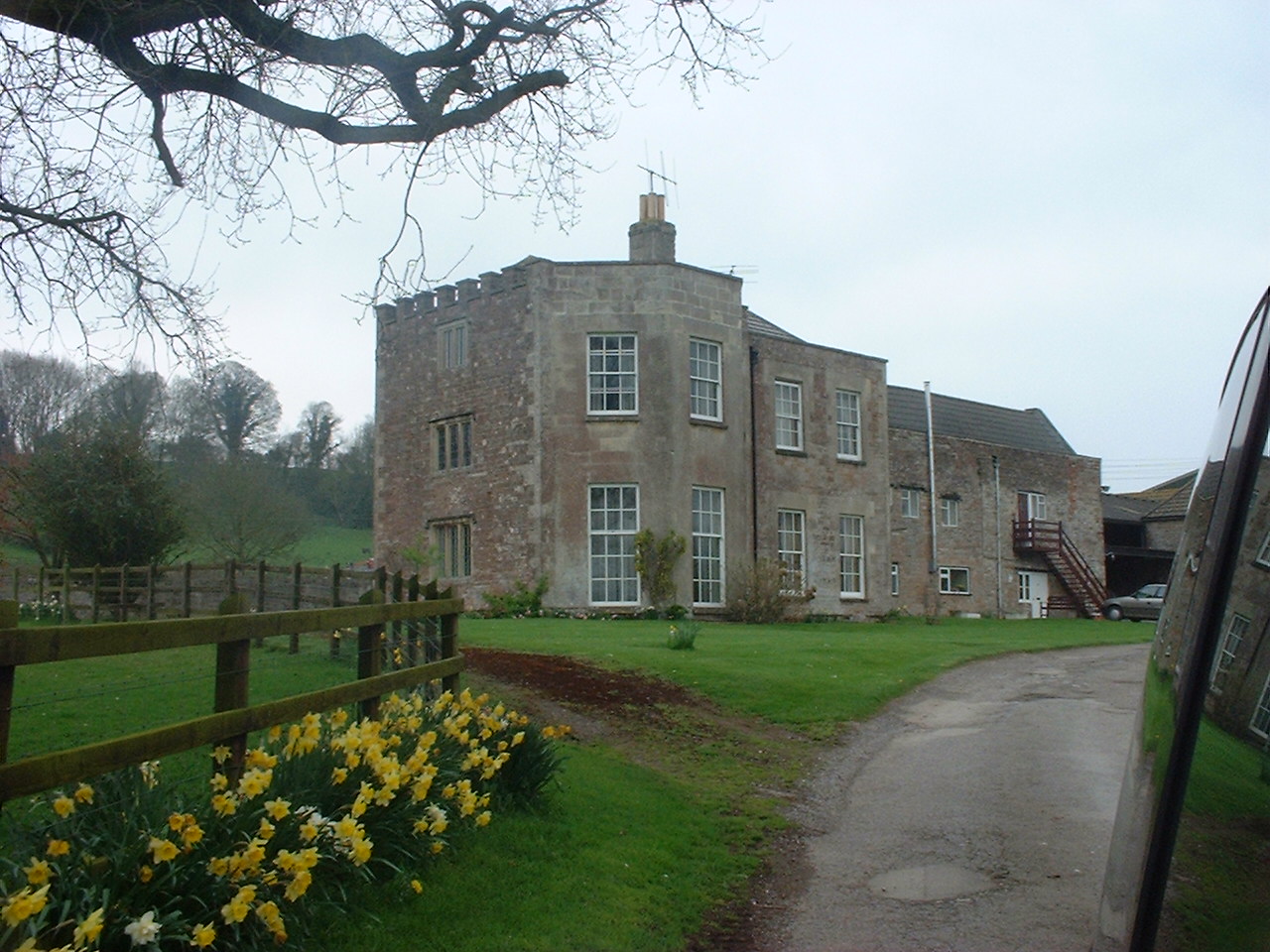
Barelegs Brake Images
Images are sourced within 2km of 51.327127/-2.5826553 or Grid Reference ST5958. Thanks to Geograph Open Source API. All images are credited.


Barelegs Brake is located at Grid Ref: ST5958 (Lat: 51.327127, Lng: -2.5826553)
Unitary Authority: Bath and North East Somerset
Police Authority: Avon and Somerset
What 3 Words
///impose.slim.drizzly. Near Bishop Sutton, Somerset
Nearby Locations
Related Wikis
Burledge Hill
Burledge Hill (grid reference ST588587) is on the southern edge of the village of Bishop Sutton, Somerset, England. It is the site of a Site of Special...

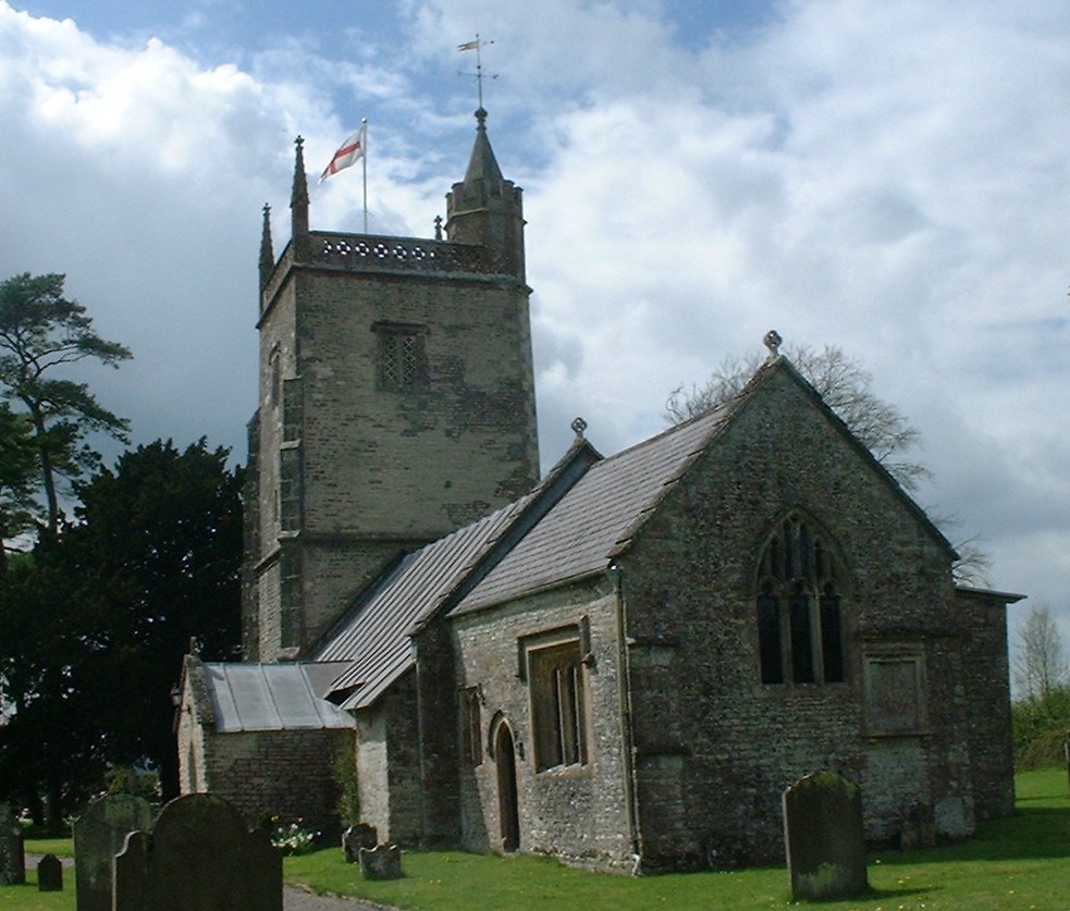
Church of St Nicholas and the Blessed Virgin Mary, Stowey
The Anglican Parish Church of St Nicholas and the Blessed Virgin Mary at Stowey within the English county of Somerset dates from the 13th century. It is...
Stowey
Stowey is a small village and former civil parish, now in the parish of Stowey Sutton, in the Bath and North East Somerset district, in the ceremonial...
Bishop Sutton
Bishop Sutton (grid reference ST587597) is a village on the northern slopes of the Mendip Hills, within the affluent Chew Valley in Somerset. It lies east...

Stowey-Sutton
Stowey-Sutton is a civil parish in the Bath and North East Somerset District of Somerset, England within the Chew Valley. The parish contains the villages...

Bishop Sutton A.F.C.
Bishop Sutton Association Football Club is a football club based in Bishop Sutton, Somerset, England. They are currently members of the Western League...

Sutton Court
Sutton Court is an English house remodelled by Thomas Henry Wyatt in the 1850s from a manor house built in the 15th and 16th centuries around a 14th-century...
St Margaret's Church, Hinton Blewett
The Church of St Margaret in Hinton Blewett, Somerset, England probably dates from the 13th century although parts are as late as the 16th or 17th century...
Nearby Amenities
Located within 500m of 51.327127,-2.5826553Have you been to Barelegs Brake?
Leave your review of Barelegs Brake below (or comments, questions and feedback).