Blackrod Bottoms
Valley in Lancashire
England
Blackrod Bottoms
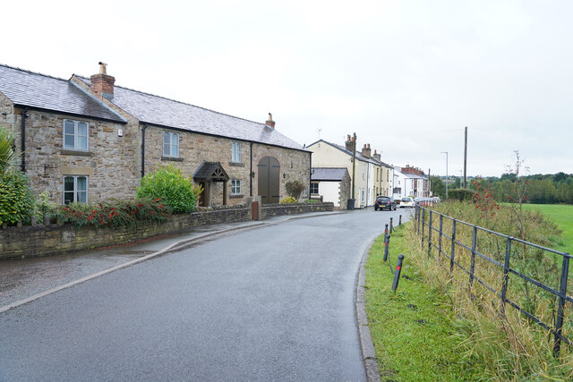
Blackrod Bottoms is a picturesque valley located in the county of Lancashire, England. Situated in the northwestern part of the country, this valley is renowned for its natural beauty and historical significance. It lies within the larger Blackrod area, which is a small town that borders the West Pennine Moors.
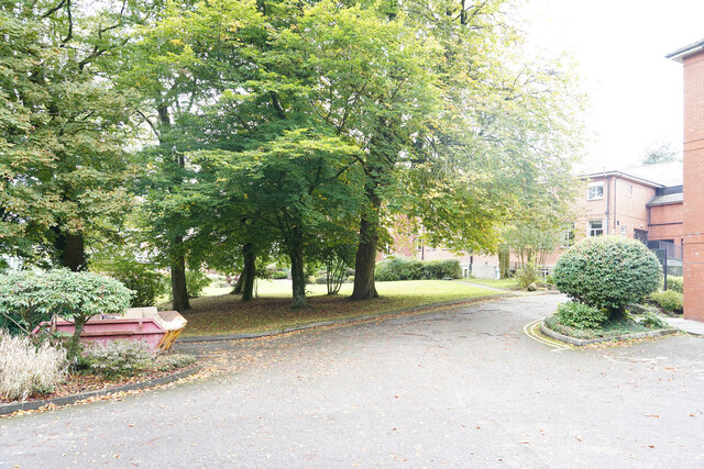
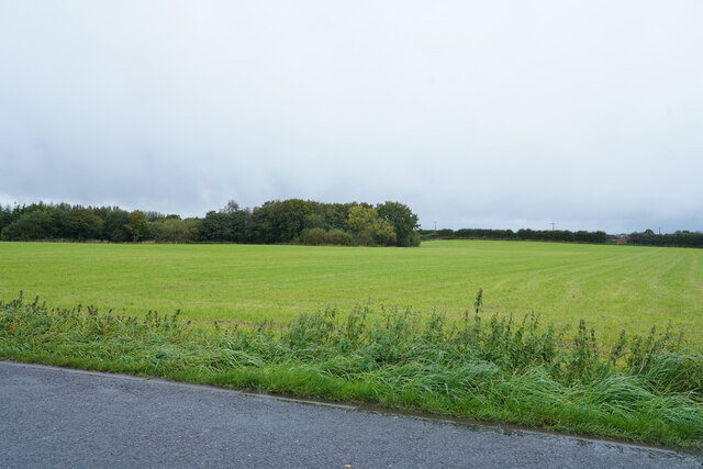
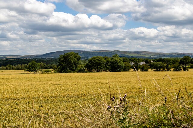
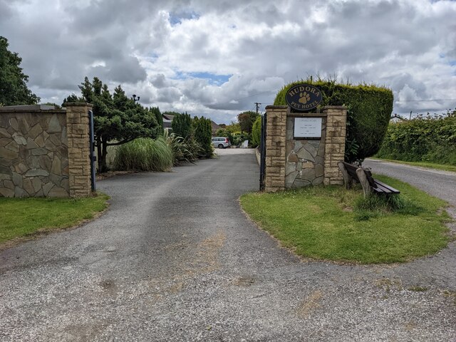
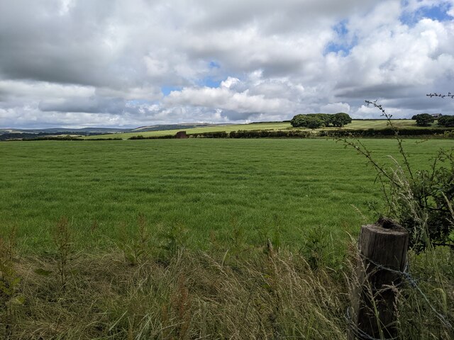
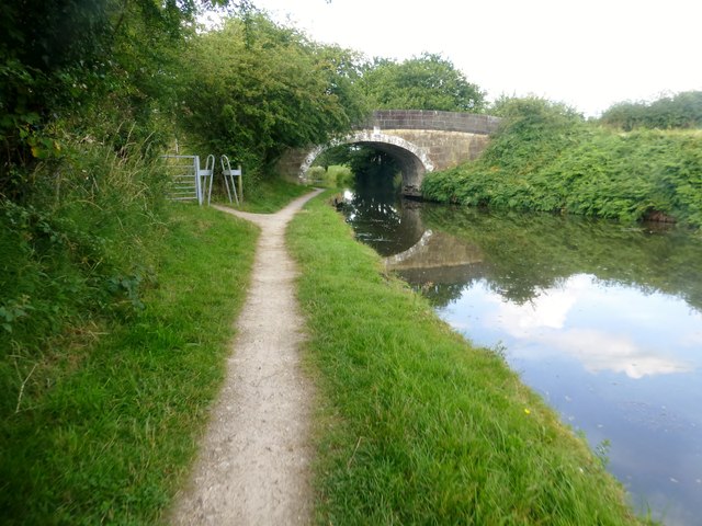
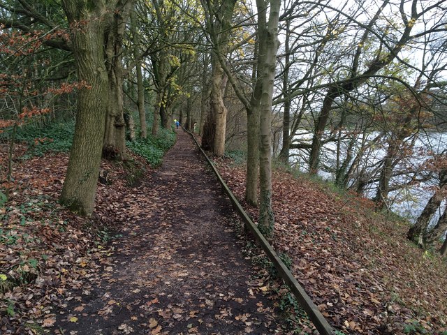
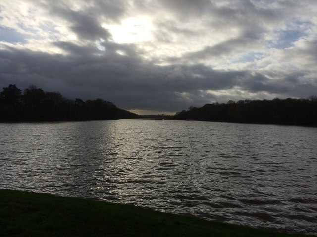
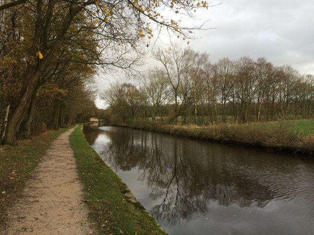
The valley is characterized by rolling hills, lush green fields, and dense woodland, creating a tranquil and scenic environment. The area is intersected by several small streams, adding to its natural charm. The valley's landscape is not only visually appealing but also provides a habitat for a diverse range of flora and fauna.
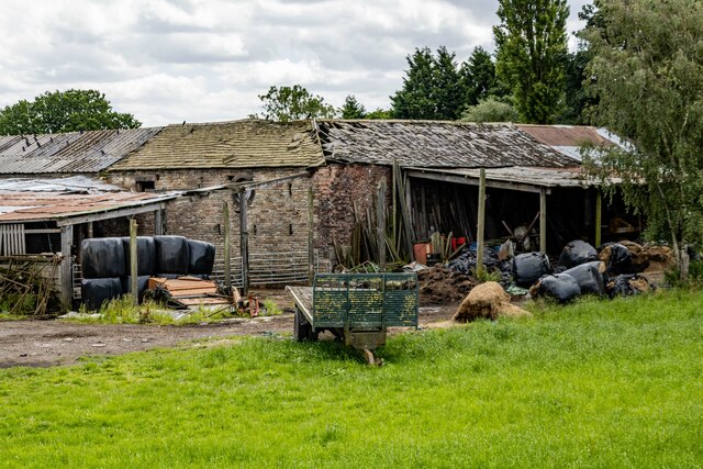
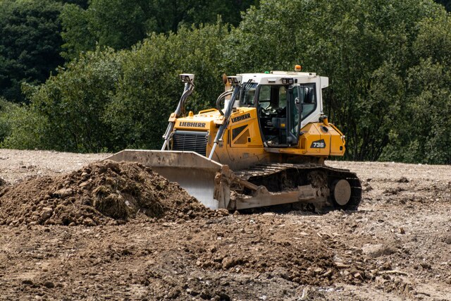
Blackrod Bottoms has a rich history, with evidence of human habitation dating back to the prehistoric era. The valley was once home to an ancient settlement, and remnants of this can still be seen in the form of archaeological sites and historical landmarks. The area also played a significant role during the industrial revolution, serving as a hub for textile production and coal mining.
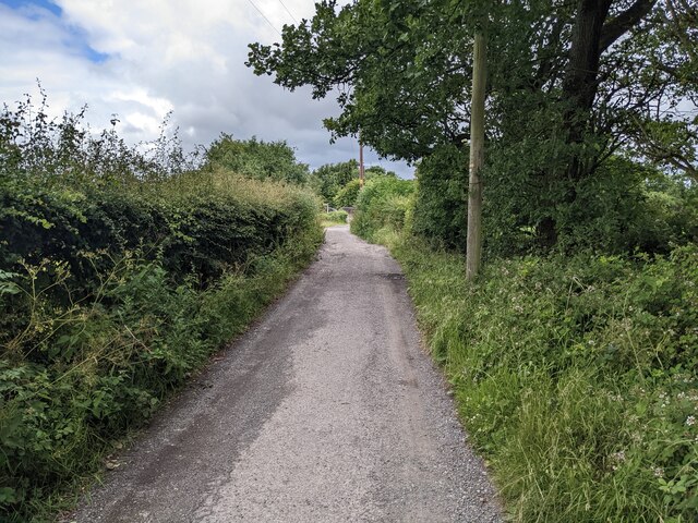
Today, Blackrod Bottoms offers a range of recreational activities for visitors to enjoy. The valley is crisscrossed by numerous walking and hiking trails, making it an ideal destination for nature enthusiasts and outdoor adventurers. The surrounding countryside also provides opportunities for birdwatching, photography, and picnicking.
In summary, Blackrod Bottoms is a charming valley in Lancashire, boasting stunning natural landscapes, a rich history, and ample recreational opportunities. It is a place where visitors can immerse themselves in the beauty of nature while exploring the region's fascinating past.
If you have any feedback on the listing, please let us know in the comments section below.
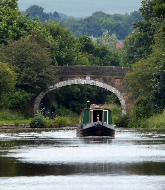
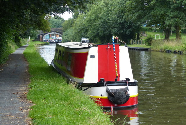
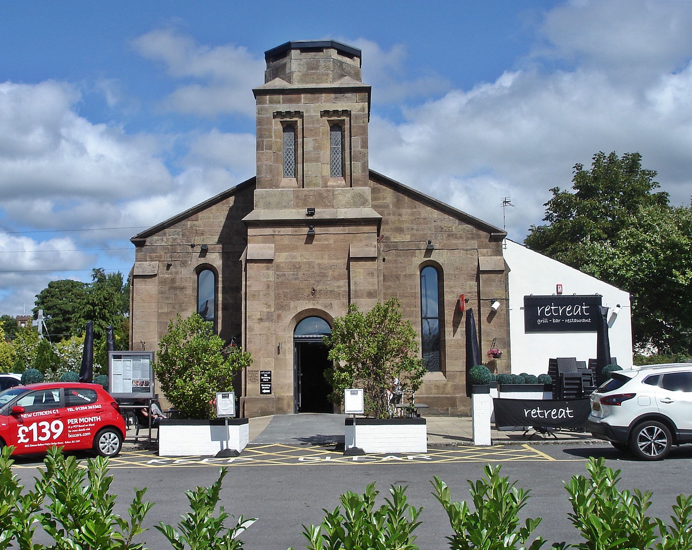
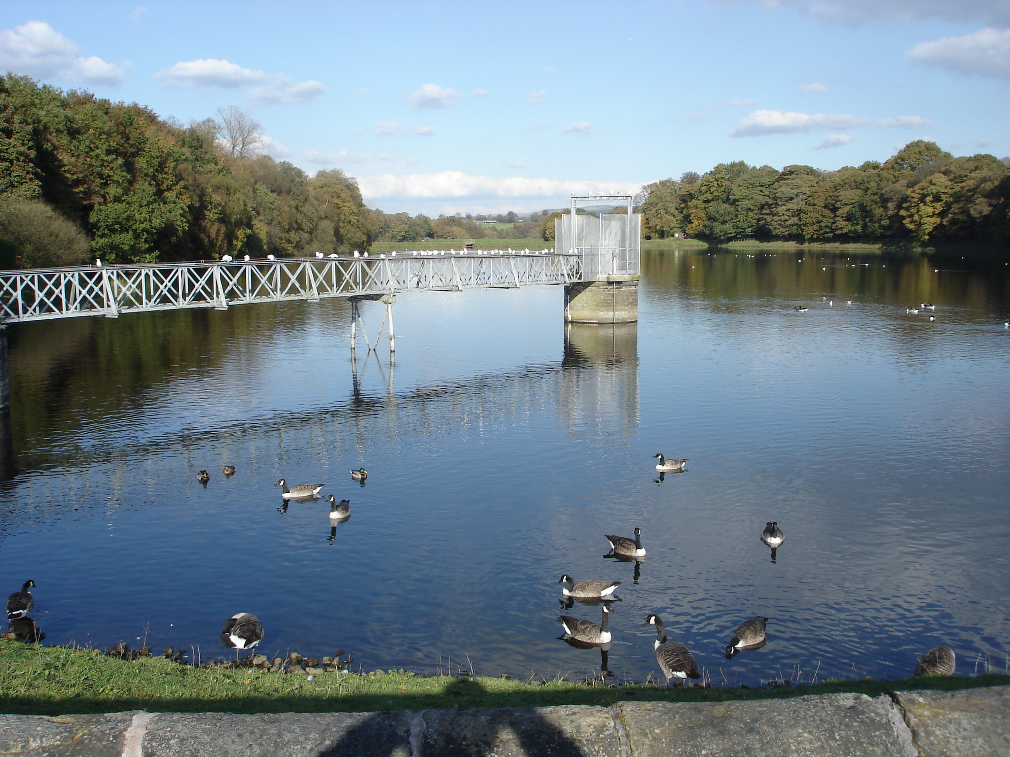
Blackrod Bottoms Images
Images are sourced within 2km of 53.60102/-2.6151368 or Grid Reference SD5911. Thanks to Geograph Open Source API. All images are credited.
Blackrod Bottoms is located at Grid Ref: SD5911 (Lat: 53.60102, Lng: -2.6151368)
Unitary Authority: Bolton
Police Authority: Greater Manchester
What 3 Words
///identify.engulfing.selling. Near Adlington, Lancashire
Nearby Locations
Related Wikis

Adlington Hall, Lancashire
Adlington Hall was a Georgian country house, now demolished, in Adlington, Lancashire, England, between Wigan and Chorley. The house was constructed in...

Rivington Water Treatment Works
Rivington Water Treatment Works is a water treatment plant in Rivington, Lancashire, England. It is located below the Lower Rivington Reservoir, the last...
White Bear railway station
White Bear railway station, on Station Road, Adlington, Lancashire, England, was on the Lancashire Union Railway line between St Helens and Blackburn....

Adlington railway station (Lancashire)
Adlington railway station serves the town of Adlington in Lancashire, England. It is a two-platform station on the Bolton - Chorley - Preston line. This...
Christ Church, Adlington
Christ Church is on Church Street, Adlington, Lancashire, England. It is a redundant Anglican church, and is recorded in the National Heritage List for...
Wigan Rural District
Wigan Rural District was an administrative district in Lancashire, England from 1894 to 1974. The rural district comprised an area to the north, but did...
Westhoughton (UK Parliament constituency)
Westhoughton was a parliamentary constituency in Lancashire, England. Centred on the former mining and cotton town of Westhoughton, it returned one Member...
Worthington Lakes
Worthington Lakes is a series of three reservoirs in the north of the borough of Wigan, Greater Manchester (from south to north: Worthington, Arley and...
Related Videos

Lesley Reads: Postcard to the Dead - A poem about holiday with someone who doesn't want to be there!
If you have ever been on holiday with someone who doesn't want to be there, or if you leave people at home because you know ...
27 January 2021
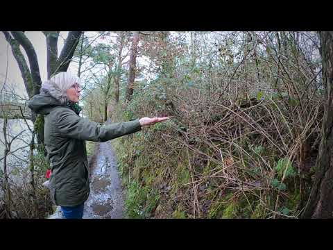
feeding a robin by hand.

Abandoned Lancashire Union Railway Line from Adlington to Red rock explored by Two Affenpinschers
Abandonedrailway #lancashire #Adlington #redrock #leedsliverpoolcanal #affenpinschers #affenpinscher #dogwalk ...

Jack Catterall collecting his Suzi Wong fight kit ahead of his fight vs Jorge Linares in Liverpool
Suzi Wong fight kit made for professional boxer Shabaz Masoud. Inspired by the luxury of Rolls Royce.
Nearby Amenities
Located within 500m of 53.60102,-2.6151368Have you been to Blackrod Bottoms?
Leave your review of Blackrod Bottoms below (or comments, questions and feedback).