Clowsgill Wood
Wood, Forest in Cumberland Carlisle
England
Clowsgill Wood
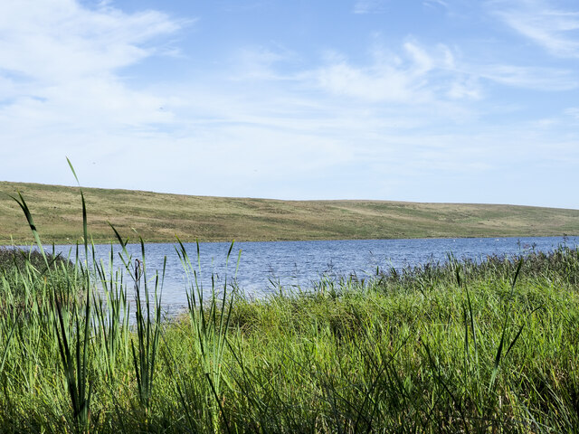
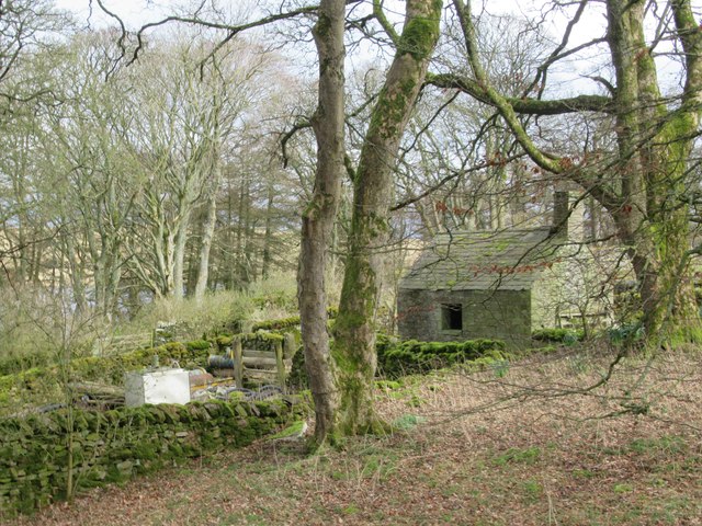
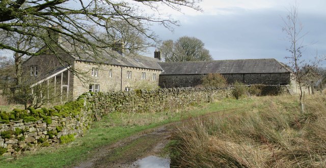
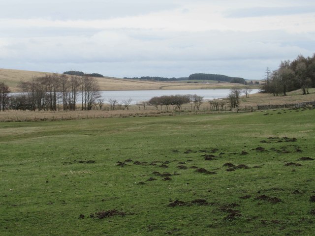
Clowsgill Wood is a picturesque forest located in the county of Cumberland, England. Covering an area of approximately 100 acres, it is nestled within the stunning landscape of the Lake District National Park. The woodland is known for its natural beauty and tranquil atmosphere, attracting nature enthusiasts and outdoor adventurers alike.
The wood is predominantly comprised of native tree species, including oak, birch, and beech, which create a dense canopy that provides shade and shelter for a diverse range of flora and fauna. Wildflowers such as bluebells and primroses carpet the forest floor during the spring season, adding a burst of color to the surroundings.
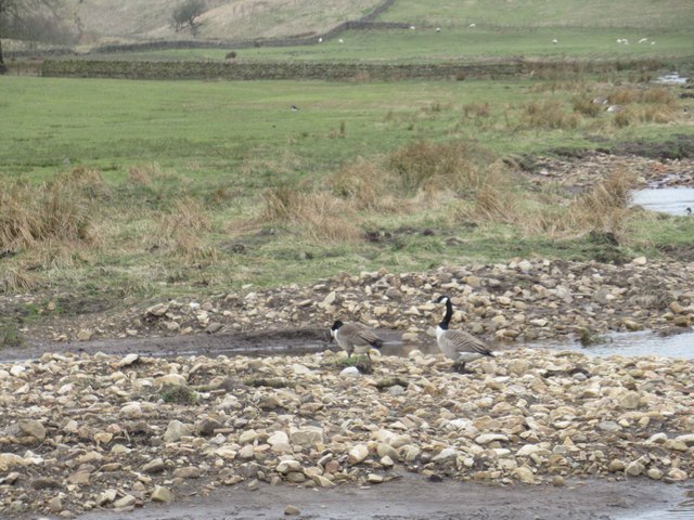
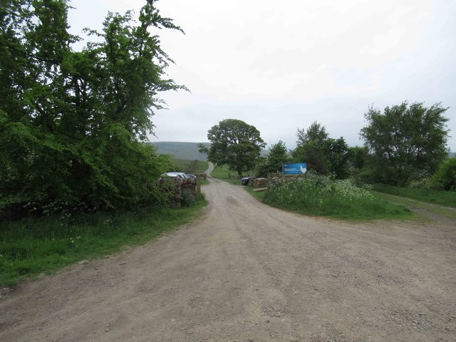
Several walking trails crisscross the wood, offering visitors the opportunity to explore its varied terrain. The paths wind through ancient woodlands, across babbling brooks, and up gentle slopes, providing breathtaking views of the surrounding countryside. Birdwatchers will be delighted by the array of avian species that inhabit the area, including woodpeckers, owls, and various songbirds.
Clowsgill Wood is also home to a rich wildlife population, with sightings of deer, squirrels, and rabbits being common. The forest is carefully managed to ensure the preservation of its natural habitat, with conservation efforts focusing on maintaining a healthy balance between flora and fauna.
For those seeking a peaceful retreat or a chance to reconnect with nature, Clowsgill Wood offers a serene and idyllic setting. Whether it's a leisurely stroll, birdwatching, or simply enjoying the tranquility of the forest, this hidden gem in Cumberland is a haven for nature lovers.
If you have any feedback on the listing, please let us know in the comments section below.
Clowsgill Wood Images
Images are sourced within 2km of 54.926141/-2.6348675 or Grid Reference NY5959. Thanks to Geograph Open Source API. All images are credited.


Clowsgill Wood is located at Grid Ref: NY5959 (Lat: 54.926141, Lng: -2.6348675)
Administrative County: Cumbria
District: Carlisle
Police Authority: Cumbria
What 3 Words
///noun.betraying.tidying. Near Brampton, Cumbria
Nearby Locations
Related Wikis

Hallbankgate
Hallbankgate is a village in Cumbria, England, 13 miles (21 km) east of Carlisle. A former coal and lead mining village, it straddles the A689 Brampton...

Geltsdale RSPB reserve
Geltsdale RSPB reserve is a nature reserve in Geltsdale, Cumbria, England. The Royal Society for the Protection of Birds manages the site for upland birds...

Midgeholme
Midgeholme is a hamlet and civil parish in City of Carlisle district, Cumbria, England. At the 2001 census the parish had a population of 67.The parish...
Tindale, Cumbria
Tindale or Tindale Fell is a hamlet in the parish of Farlam in the City of Carlisle district of the English county of Cumbria. It is to the south of the...
Cold Fell (Pennines)
Cold Fell is a mountain in the northern Pennines, in Cumbria, England. Lying among the northernmost uplands of the North Pennines AONB, it is the most...
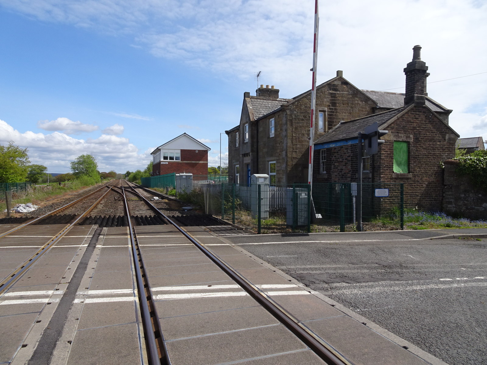
Naworth railway station
Naworth is a former railway station, which served the hamlet of Naworth in Cumbria. The station served the Tyne Valley Line between 1871 and 1952. ��2...
Farlam
Farlam is a village and civil parish in the City of Carlisle District, in the English county of Cumbria. The village is about 2+1⁄4 miles (3.6 km) southeast...
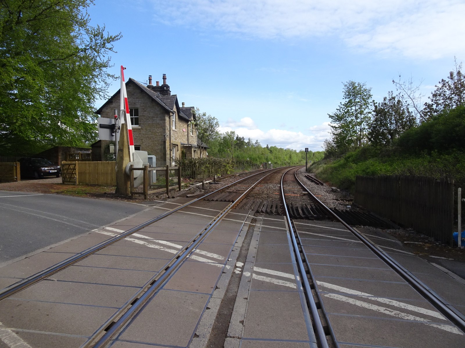
Low Row railway station
Low Row is a former railway station on the Tyne Valley Line, which served the village of Low Row in Cumbria between 1836 and 1965. == History == The station...
Nearby Amenities
Located within 500m of 54.926141,-2.6348675Have you been to Clowsgill Wood?
Leave your review of Clowsgill Wood below (or comments, questions and feedback).