Coombesdale
Settlement in Staffordshire Newcastle-under-Lyme
England
Coombesdale

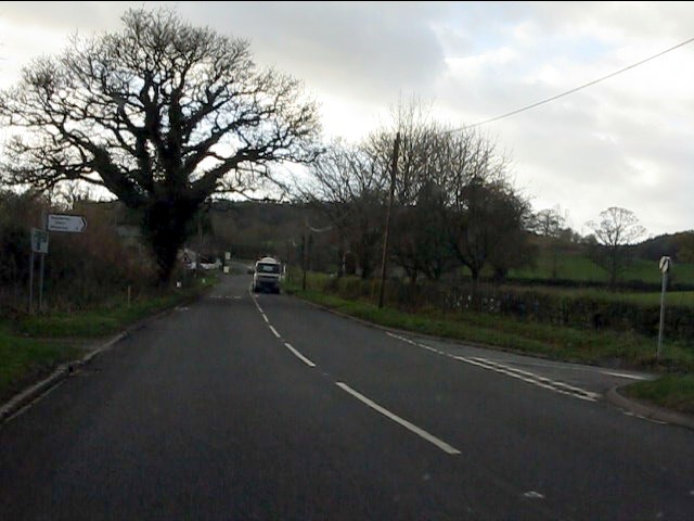
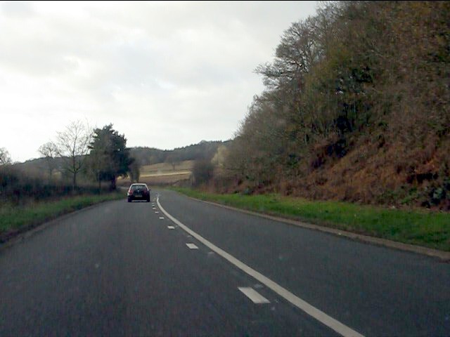
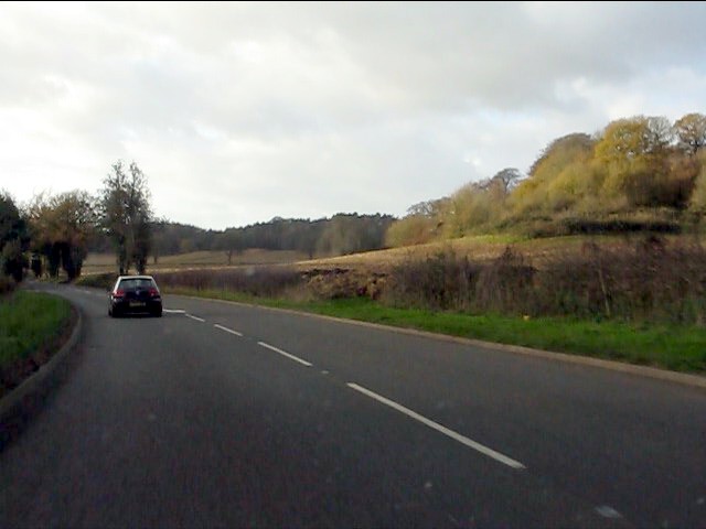
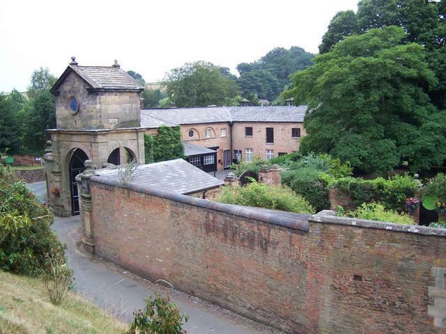
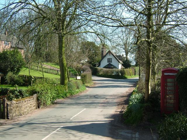
Coombesdale is a small village located in the county of Staffordshire, England. Situated in the picturesque Churnet Valley, it is surrounded by rolling hills and beautiful countryside, making it a popular destination for nature lovers and outdoor enthusiasts.
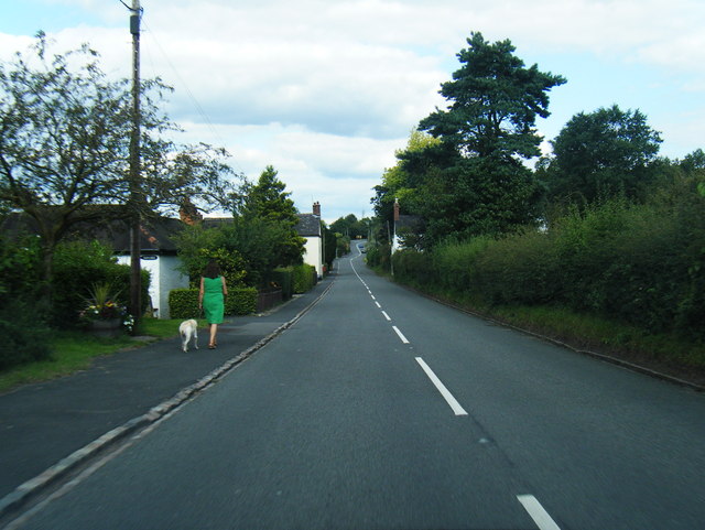
The village is home to a close-knit community, with a population of approximately 500 residents. It boasts a rich history dating back centuries, evident in its charming architecture and historic landmarks. One of the notable attractions in Coombesdale is the St. Lawrence Church, a beautiful Grade II listed building that dates back to the 12th century. The church's stunning stained glass windows and intricate stonework make it a must-visit for history buffs.
Despite its small size, Coombesdale offers a range of amenities for its residents and visitors. There is a local pub, The Churnet Arms, which serves traditional British cuisine and provides a cozy atmosphere for socializing. The village also has a primary school, providing education for local children.
The surrounding countryside of Coombesdale offers plenty of opportunities for outdoor activities. The Churnet Valley Railway, a heritage railway, is a popular attraction for tourists and train enthusiasts. Additionally, there are numerous walking trails and cycling routes that allow visitors to explore the stunning natural beauty of the area.
Overall, Coombesdale is a charming village that offers a peaceful retreat from the hustle and bustle of city life. Its picturesque surroundings, rich history, and friendly community make it a hidden gem in Staffordshire.
If you have any feedback on the listing, please let us know in the comments section below.
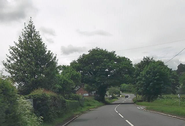
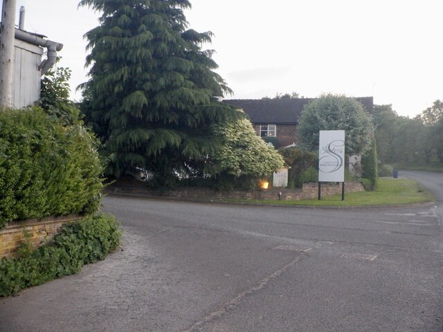
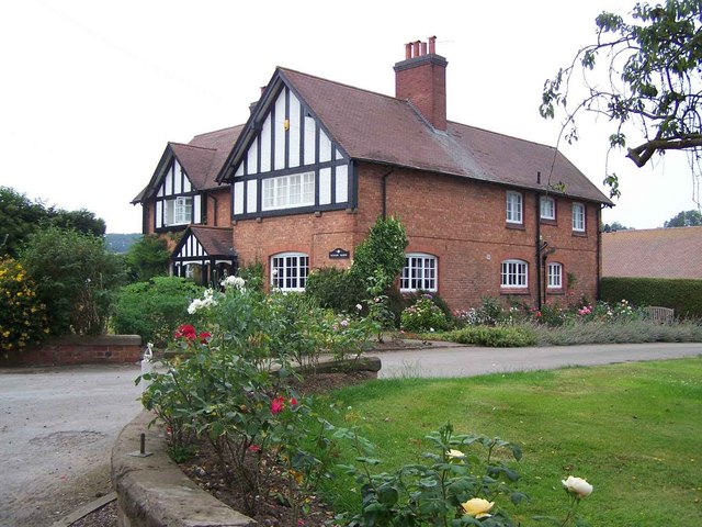
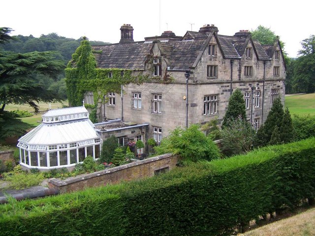
Coombesdale Images
Images are sourced within 2km of 52.939017/-2.2990354 or Grid Reference SJ8038. Thanks to Geograph Open Source API. All images are credited.


Coombesdale is located at Grid Ref: SJ8038 (Lat: 52.939017, Lng: -2.2990354)
Administrative County: Staffordshire
District: Newcastle-under-Lyme
Police Authority: Staffordshire
What 3 Words
///singing.wells.recapture. Near Standon, Staffordshire
Nearby Locations
Related Wikis

Maer Hall
Maer Hall is a large Grade II listed 17th-century country house in Maer, Staffordshire, set in a park which is listed Grade II in Historic England's Register...

Coombesdale
Coombesdale is a small settlement in Staffordshire, England. It is near the A51 road and is 6 kilometres (4 mi) southwest of the city of Stoke-on-Trent...
Maer, Staffordshire
Maer is a rural village and civil parish in the Borough of Newcastle-under-Lyme, Staffordshire, England, to the west of the pottery manufacturing town...
Berth Hill
Berth Hill is an Iron Age hillfort in Staffordshire, England, about 5 miles (8.0 km) south-west of Newcastle-under-Lyme, and near the village of Maer....
Baldwin's Gate
Baldwin's Gate is a village in the Borough of Newcastle-under-Lyme in Staffordshire. The population details for the 2011 census can be found under Whitmore...
Whitmore railway station
Whitmore was a station serving the village of Whitmore, Staffordshire. == History == The station opened onto the Grand Junction Railway in 1837: 41 when...
Whitmore, Staffordshire
Whitmore is a village and small curacy in the county of Staffordshire, England, near Newcastle-under-Lyme. The name Whitmore can be found in the Domesday...

Standon, Staffordshire
Standon is a village and civil parish in the Stafford district, in the county of Staffordshire, England. Standon has a church called Church of All Saints...
Nearby Amenities
Located within 500m of 52.939017,-2.2990354Have you been to Coombesdale?
Leave your review of Coombesdale below (or comments, questions and feedback).