Coombeswood

Settlement in Worcestershire

England

Coombeswood

St John The Baptist, Parish church of Halesowen Halesowen Parish Church is a Town Centre Church in the fast-changing town of Halesowen with a 1,000 year history as a Grade 1 listed building.
The second most important historical building in Dudley Metropolitan Borough it was opened in 1083, and had been in central use ever since
St John The Baptist, Parish church of Halesowen Credit: Stephen Rogerson

Coombeswood is a village located in the county of Worcestershire, England. Situated just three miles north of Halesowen, the village is nestled amidst the picturesque countryside of the West Midlands region. Coombeswood is part of the Dudley borough and falls within the B62 postcode area.

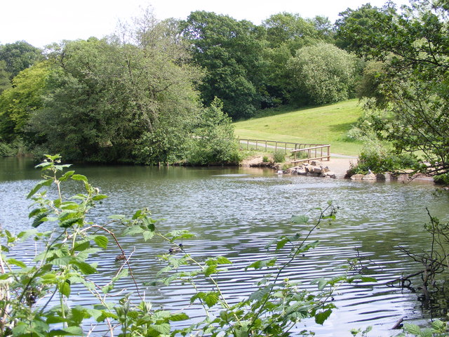
The village is primarily residential, characterized by its peaceful atmosphere and close-knit community. It boasts a charming blend of traditional English architecture, with many well-preserved historic buildings and cottages lining its streets. The surrounding landscape is dominated by rolling hills, lush green fields, and a scattering of small woodland areas.

Coombeswood benefits from its proximity to several amenities and services. Within a short distance, residents can access local shops, including a convenience store and a post office. There are also several reputable schools nearby, making the village an attractive location for families.

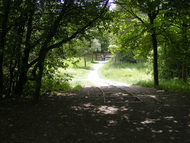
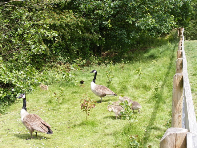
For those seeking outdoor activities, Coombeswood offers ample opportunities for countryside walks and exploration. The nearby Clent Hills, a designated Area of Outstanding Natural Beauty, provides breathtaking vistas and a variety of trails for hikers and nature enthusiasts.

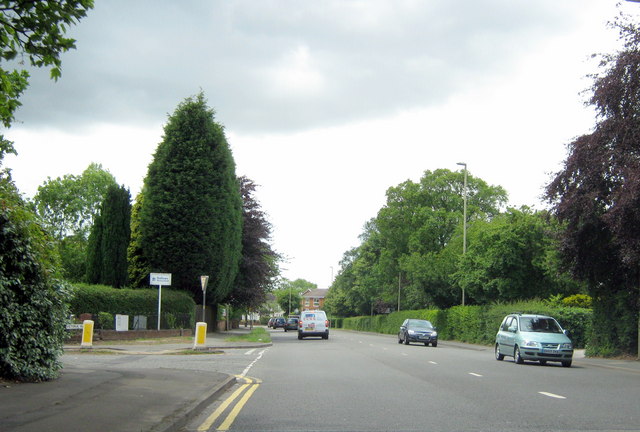
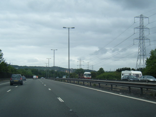
Transport links in Coombeswood are convenient, with regular bus services connecting the village to surrounding towns and cities. The M5 motorway is easily accessible, making commuting to larger urban centers such as Birmingham or Worcester relatively straightforward.

Overall, Coombeswood is a tranquil village offering a countryside escape while maintaining good access to essential amenities and transportation routes.

If you have any feedback on the listing, please let us know in the comments section below.
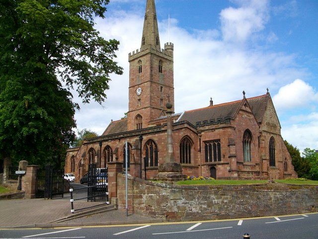
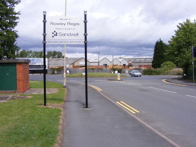
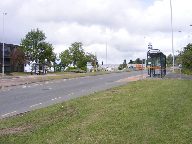
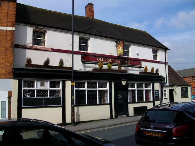
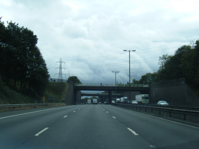
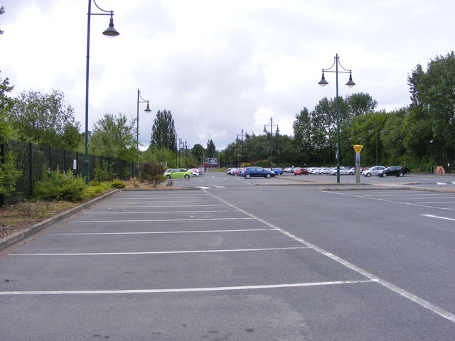
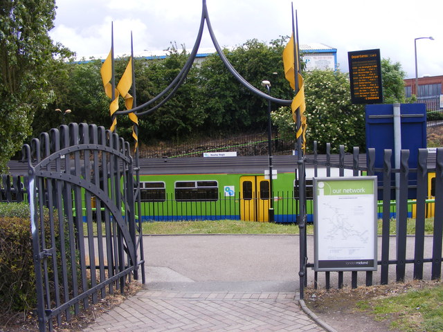
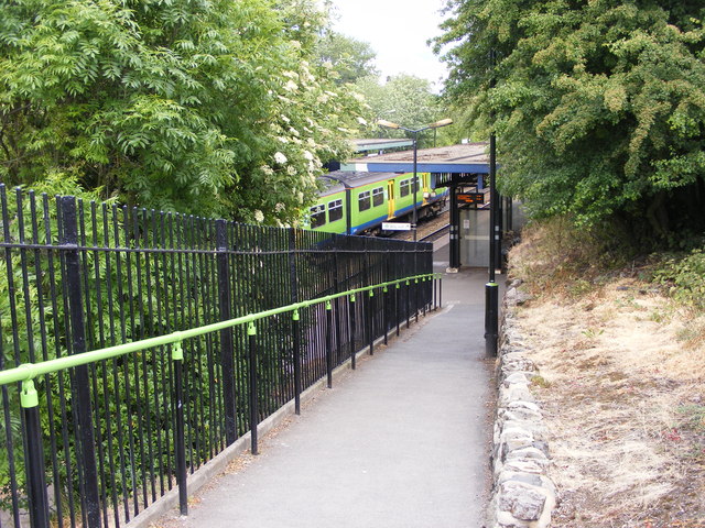
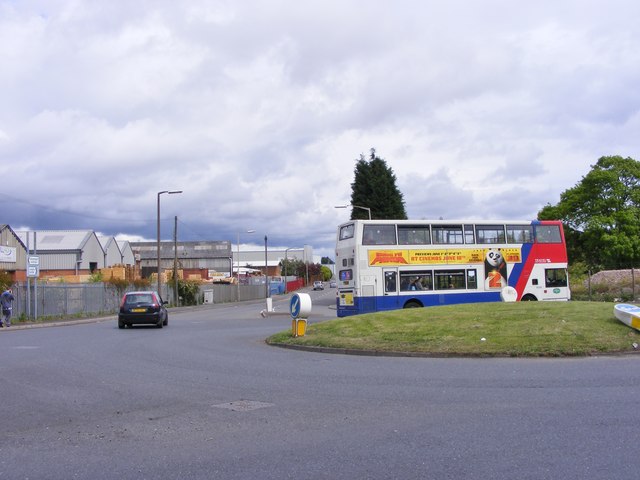
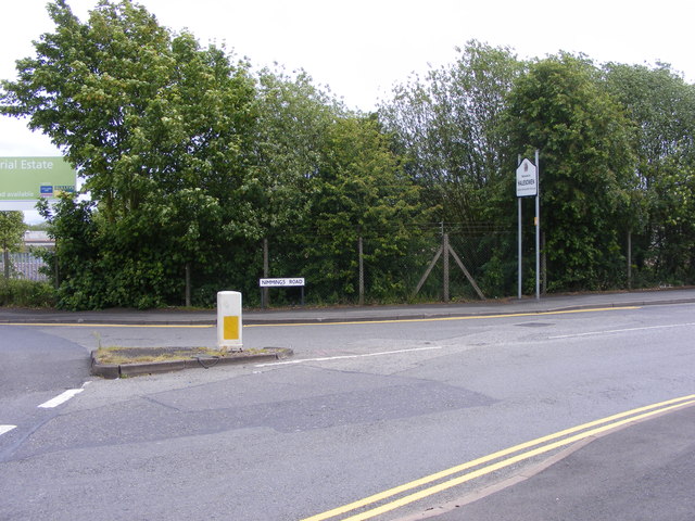
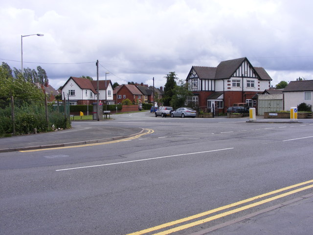
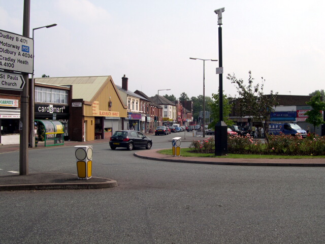
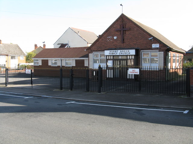
Coombeswood Images

Images are sourced within 2km of 52.464706/-2.038974 or Grid Reference SO9785. Thanks to Geograph Open Source API. All images are credited.

St John The Baptist, Parish church of Halesowen Halesowen Parish Church is a Town Centre Church in the fast-changing town of Halesowen with a 1,000 year history as a Grade 1 listed building.
The second most important historical building in Dudley Metropolitan Borough it was opened in 1083, and had been in central use ever since
St John The Baptist, Parish church of Halesowen
Halesowen Parish Church is a Town Centre Church in the fast-changing town of Halesowen with a 1,000 year history as a Grade 1 listed building. The second most important historical building in Dudley Metropolitan Borough it was opened in 1083, and had been in central use ever since
Sandwell Border The view from Nimmings Road in Halesowen Dudley towards Rowley Regis.
Sandwell Border
The view from Nimmings Road in Halesowen Dudley towards Rowley Regis.
Mucklow Hill View The view up the A458 in Halesowen.
Mucklow Hill View
The view up the A458 in Halesowen.
Leasowes Path The view down the path to Breaches Pool in Leasowes Park, Halesowen.
Leasowes Path
The view down the path to Breaches Pool in Leasowes Park, Halesowen.
Breaches Pool The view in Leasowes Park, Halesowen.
Breaches Pool
The view in Leasowes Park, Halesowen.
Leasowes Goslings The view by Breaches Pool in Leasowes Park, Halesowen.
Leasowes Goslings
The view by Breaches Pool in Leasowes Park, Halesowen.
Manor Way School The view of the Halesowen Primary School.
Manor Way School
The view of the Halesowen Primary School.
A458 Halesowen Road, Victoria Avenue Junction. Dallows Monuments on Corner Serving Cemetery Opposite.
A458 Halesowen Road, Victoria Avenue Junction.
Dallows Monuments on Corner Serving Cemetery Opposite.
M5 northbound near Blackheath
Olde queens Head
Olde queens Head
Benjamins Restaurant & Bar in Halesowen town centre.
Benjamins
Restaurant & Bar in Halesowen town centre.
M5 southbound
M5 southbound
Railway Car Park The view alongside Rowley Regis Railway Station.
Railway Car Park
The view alongside Rowley Regis Railway Station.
Station Gate The view into Rowley Regis Railway Station from the car park.
Station Gate
The view into Rowley Regis Railway Station from the car park.
Station Path The view down the path to Rowley Regis Railway Station.
Station Path
The view down the path to Rowley Regis Railway Station.
Island Bus The view across the roundabout down Cakemore Road near Rowley Regis Railway Station.
Island Bus
The view across the roundabout down Cakemore Road near Rowley Regis Railway Station.
Nimmings Road The view in Rowley Regis on the border of Halesowen.
Nimmings Road
The view in Rowley Regis on the border of Halesowen.
Douglas Road Junction The view in Rowley Regis Railway from Nimmings Road.
Douglas Road Junction
The view in Rowley Regis Railway from Nimmings Road.
Show me another place!

Coombeswood is located at Grid Ref: SO9785 (Lat: 52.464706, Lng: -2.038974)

Unitary Authority: Dudley

Police Authority: West Midlands

What 3 Words

///tigers.mount.shield. Near Rowley Regis, West Midlands

Related Wikis

Hill, West Midlands

Hill was a township in what is now the metropolitan county of West Midlands in England. The township was situated between Halesowen and Blackheath, and...

Coombes Holloway Halt railway station

Coombes Holloway Halt railway station was a railway station in Halesowen, England, on the Great Western Railway & Midland Railway's Joint Halesowen Railway...

Leasowes High School

Leasowes High School is a coeducational secondary school located in Halesowen in the West Midlands of England.It regularly performs well in the Dudley...

Halesowen railway station

Halesowen railway station was a railway station in Halesowen, West Midlands, England on the Great Western Railway & Midland Railway's Joint Halesowen Railway...

Halesowen College of Further Education

Halesowen College is a further and higher education college in Whittingham Road, Halesowen, West Midlands. It was established in 1982 as a tertiary college...

Blackheath, West Midlands

Blackheath is a town in the Sandwell Metropolitan Borough, in the county of West Midlands, England. == History == Before 1841, Bleak Heath or Blake Heath...

The Leasowes

The Leasowes is a 57-hectare (around 141 acre) estate in Halesowen, historically in the county of Shropshire, England, comprising house and gardens. The...

Hurst Green, West Midlands

Hurst Green is a suburb of Halesowen in the Metropolitan Borough of Dudley, located on its north-eastern side. Its principal thoroughfares are Narrow Lane/Fairfield...

Nearby Amenities

Located within 500m of 52.464706,-2.038974
Turning Circle
Source: survey
Lat/Long: 52.4656801/-2.0351529
Post Box
Ref: B62 923
Source: survey
Lat/Long: 52.466338/-2.0368173
Turning Circle
Source: survey
Lat/Long: 52.4684498/-2.0409675
Turning Circle
Source: bing
Lat/Long: 52.4686868/-2.0406342
Power: substation
Ref: none
Source: survey
Lat/Long: 52.4671945/-2.036462
Power: substation
Ref: 11286
Source: survey
Lat/Long: 52.4686145/-2.0356436
Olive Stores
Addr Housenumber: 8
Addr Postcode: B62 8LS
Addr Street: Olive Lane
Fhrs Id: 501139
Shop: convenience
Source: survey
Source Addr: FHRS Open Data
Lat/Long: 52.4687942/-2.0389571
Bus Stop
Olive Lane / St Loyes Close
Bus: yes
Naptan AtcoCode: 43000803801
Naptan Bearing: NW
Naptan BusStopType: MKD
Naptan CommonName: St Loyes Close
Naptan Indicator: opp
Naptan NaptanCode: nwmtdgam
Naptan PlusbusZoneRef: BHAMNWS
Naptan Status: ACT
Naptan StopType: BCT
Naptan Street: OLIVE LANE
Naptan Towards: Blackheath
Naptan Verified: no
Public Transport: platform
Route Ref: 231
Source: WMCA
Lat/Long: 52.4662493/-2.0329579
Bus Stop
Olive Lane / St Loyes Close
Bus: yes
Naptan AtcoCode: 43000803802
Naptan Bearing: SE
Naptan BusStopType: MKD
Naptan CommonName: St Loyes Close
Naptan Indicator: adj
Naptan NaptanCode: nwmtdgap
Naptan PlusbusZoneRef: BHAMNWS
Naptan Status: ACT
Naptan StopType: BCT
Naptan Street: OLIVE LANE
Naptan Towards: Halesowen
Naptan Verified: no
Public Transport: platform
Route Ref: 231
Source: WMCA
Lat/Long: 52.4661864/-2.0329284
Power: substation
Ref: 01314
Source: survey
Lat/Long: 52.4648669/-2.0426511
Power: substation
Ref: 63832
Source: survey
Lat/Long: 52.4659783/-2.0434816
The site of Stewart and Lloyds 1903-67
Historic: memorial
Source: survey
Lat/Long: 52.4648453/-2.0436238
Source: survey
Structure: brick
Utility: gas
Lat/Long: 52.4650123/-2.0462709
Barrier: stile
Source: survey
Lat/Long: 52.4605948/-2.0380114
Barrier: stile
Source: survey
Lat/Long: 52.4606461/-2.0388136
Pub
Coombs Wood Sports and Social Club
Addr Postcode: B62 8ND
Addr Street: Stewarts Road
Fhrs Id: 595079
Website: https://www.coombswood.co.uk/
Lat/Long: 52.4654995/-2.0389221
Bus Stop
Olive Lane / Malt Mill Lane
Bus: yes
Naptan AtcoCode: 43008032502
Naptan Bearing: SE
Naptan BusStopType: MKD
Naptan CommonName: Malt Mill Lane
Naptan Indicator: after
Naptan NaptanCode: nwmwdgjm
Naptan Status: ACT
Naptan StopType: BCT
Naptan Street: OLIVE LANE
Naptan Towards: Halesowen
Public Transport: platform
Route Ref: 231
Source: WMCA
Lat/Long: 52.4689176/-2.0394215
Bus Stop
Olive Lane / Malt Mill Lane
Bus: yes
Naptan AtcoCode: 43008032501
Naptan Bearing: NW
Naptan BusStopType: MKD
Naptan CommonName: Malt Mill Lane
Naptan Indicator: before
Naptan NaptanCode: nwmwdgjg
Naptan Status: ACT
Naptan StopType: BCT
Naptan Street: OLIVE LANE
Naptan Towards: Blackheath
Public Transport: platform
Route Ref: 231
Source: WMCA
Lat/Long: 52.4687198/-2.0392594
Footpath
Lat/Long: 52.4633271/-2.0451924
Generator Method: photovoltaic
Generator Output Electricity: yes
Generator Source: solar
Generator Type: solar_photovoltaic_panel
Location: roof
Power: generator
Lat/Long: 52.4646941/-2.0451173
Generator Method: photovoltaic
Generator Output Electricity: yes
Generator Source: solar
Generator Type: solar_photovoltaic_panel
Location: roof
Power: generator
Lat/Long: 52.4647447/-2.0447364
Generator Method: photovoltaic
Generator Output Electricity: yes
Generator Source: solar
Generator Type: solar_photovoltaic_panel
Location: roof
Power: generator
Lat/Long: 52.4636188/-2.0441222
Generator Method: photovoltaic
Generator Output Electricity: yes
Generator Source: solar
Generator Type: solar_photovoltaic_panel
Location: roof
Power: generator
Lat/Long: 52.4638476/-2.044605
Generator Method: photovoltaic
Generator Output Electricity: yes
Generator Source: solar
Generator Type: solar_photovoltaic_panel
Location: roof
Power: generator
Lat/Long: 52.4636188/-2.0444736
Generator Method: photovoltaic
Generator Output Electricity: yes
Generator Source: solar
Generator Type: solar_photovoltaic_panel
Location: roof
Power: generator
Lat/Long: 52.4639113/-2.0442563
Generator Method: photovoltaic
Generator Output Electricity: yes
Generator Source: solar
Generator Type: solar_photovoltaic_panel
Location: roof
Power: generator
Lat/Long: 52.4684508/-2.0374757
Generator Method: photovoltaic
Generator Output Electricity: yes
Generator Source: solar
Generator Type: solar_photovoltaic_panel
Location: roof
Power: generator
Lat/Long: 52.4681338/-2.0368159
Generator Method: photovoltaic
Generator Output Electricity: yes
Generator Source: solar
Generator Type: solar_photovoltaic_panel
Location: roof
Power: generator
Lat/Long: 52.4661631/-2.0326504
Coombeswood
Description: Local area name
Lat/Long: 52.4681876/-2.0435702
The data included in this document is from www.openstreetmap.org. The data is made available under ODbL.

Have you been to Coombeswood?

Leave your review of Coombeswood below (or comments, questions and feedback).