Hill and Cakemore

Settlement in Worcestershire

England

Hill and Cakemore

Sandwell Border The view from Nimmings Road in Halesowen Dudley towards Rowley Regis.
Sandwell Border Credit: Gordon Griffiths

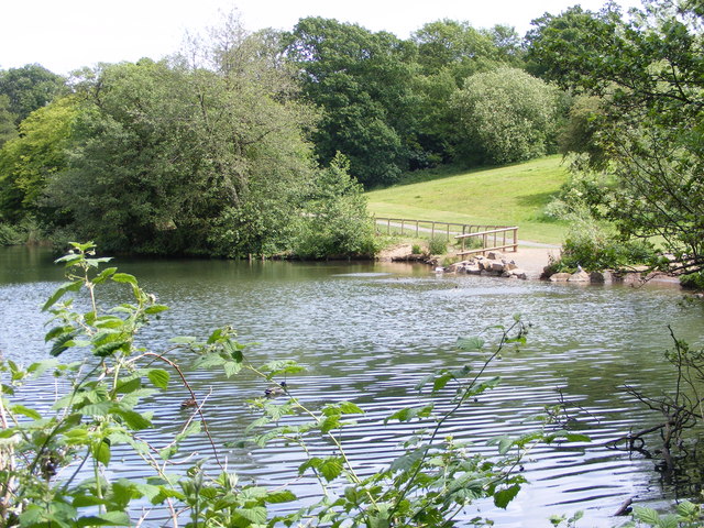
Hill and Cakemore is a small village located in the county of Worcestershire, England. Situated in the southern part of the county, it is nestled between the towns of Bromsgrove and Kidderminster. The village is surrounded by picturesque countryside, with rolling hills and lush green fields stretching as far as the eye can see.

The population of Hill and Cakemore is relatively small, with only a few hundred residents calling it home. Despite its size, the village boasts a strong sense of community and a close-knit atmosphere. The local pub, The Red Lion, is a popular meeting place for villagers and visitors alike, serving up traditional pub fare and a friendly atmosphere.

Historically, Hill and Cakemore has a rich heritage, with evidence of human settlement dating back to the Roman period. The village grew and prospered during the medieval era, and remnants of its past can still be seen today in the form of charming timber-framed cottages and a 14th-century church.

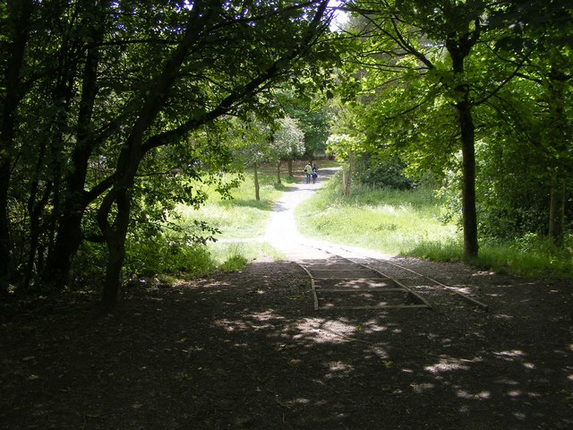
The surrounding area offers ample opportunities for outdoor activities, with numerous walking and cycling trails crisscrossing the countryside. The nearby Clent Hills provide breathtaking panoramic views of the surrounding landscape, making it a popular spot for hikers and nature enthusiasts.

Overall, Hill and Cakemore offers a peaceful and idyllic setting, perfect for those seeking a quiet escape from the hustle and bustle of city life. With its rich history, stunning natural beauty, and tight-knit community, this Worcestershire village is a hidden gem waiting to be discovered.

If you have any feedback on the listing, please let us know in the comments section below.

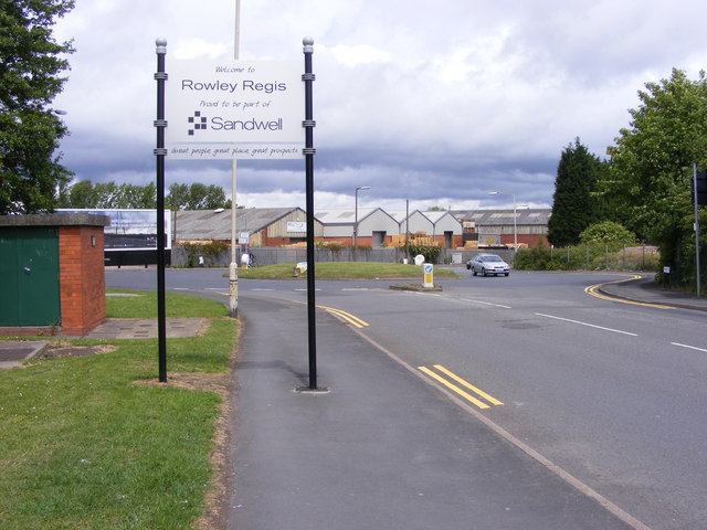
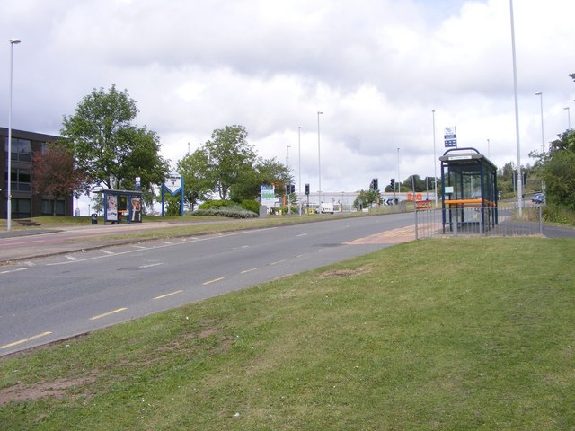
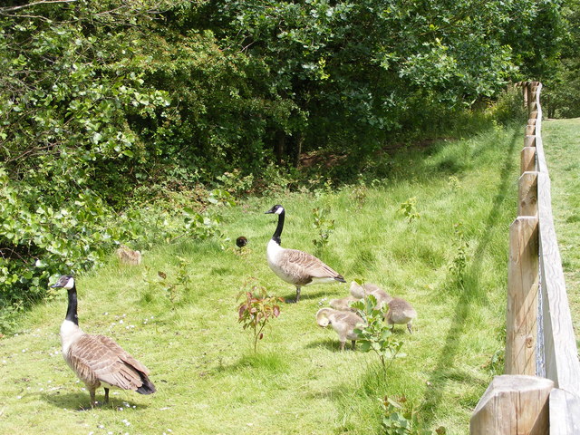
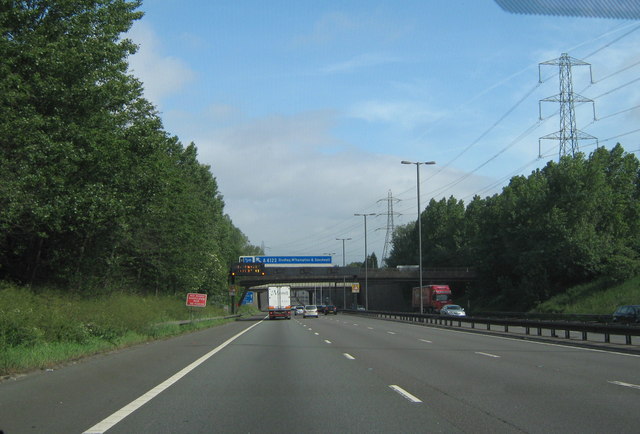
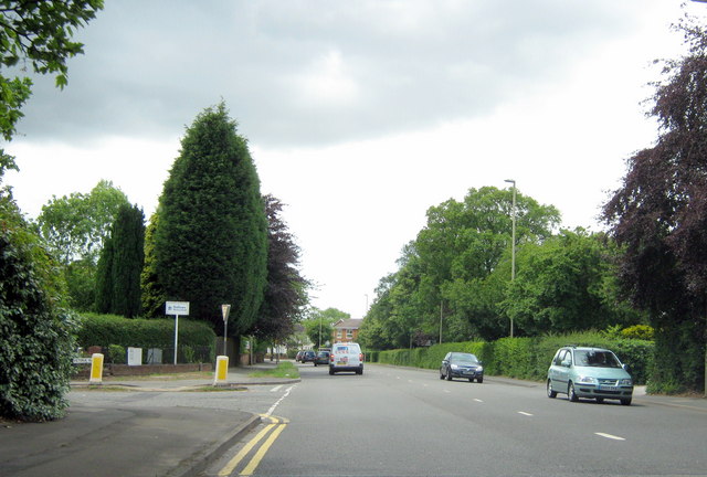
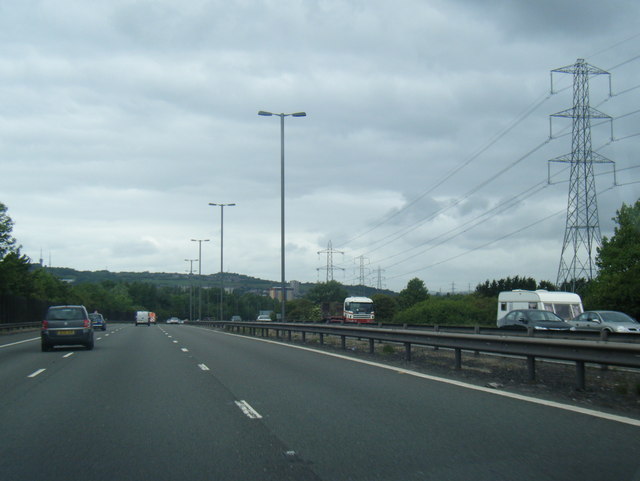
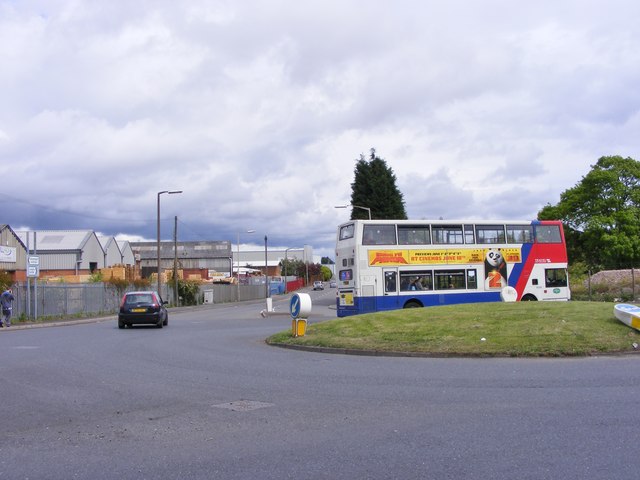
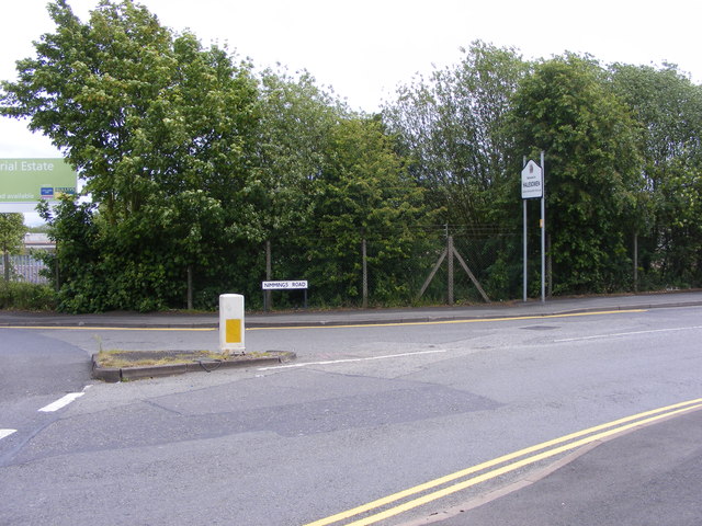
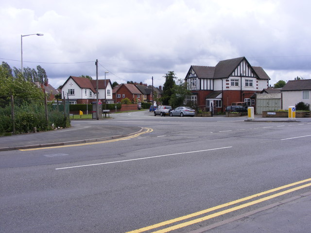
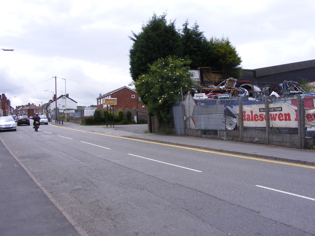
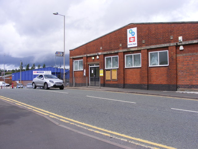
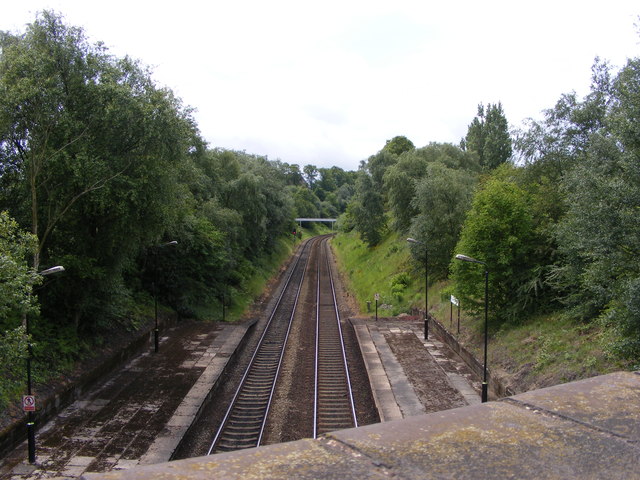
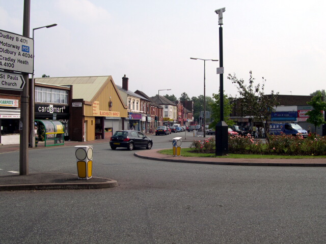
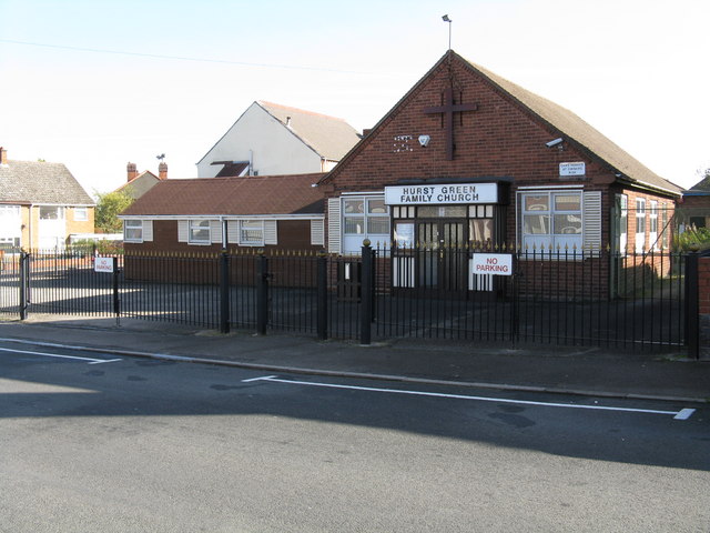
Hill and Cakemore Images

Images are sourced within 2km of 52.467685/-2.0371388 or Grid Reference SO9785. Thanks to Geograph Open Source API. All images are credited.

Sandwell Border The view from Nimmings Road in Halesowen Dudley towards Rowley Regis.
Sandwell Border
The view from Nimmings Road in Halesowen Dudley towards Rowley Regis.
Mucklow Hill View The view up the A458 in Halesowen.
Mucklow Hill View
The view up the A458 in Halesowen.
Leasowes Path The view down the path to Breaches Pool in Leasowes Park, Halesowen.
Leasowes Path
The view down the path to Breaches Pool in Leasowes Park, Halesowen.
Breaches Pool The view in Leasowes Park, Halesowen.
Breaches Pool
The view in Leasowes Park, Halesowen.
Leasowes Goslings The view by Breaches Pool in Leasowes Park, Halesowen.
Leasowes Goslings
The view by Breaches Pool in Leasowes Park, Halesowen.
M5 Motorway, B4169 Crossing Just Before Junction 3, Northboundj
A458 Halesowen Road, Victoria Avenue Junction. Dallows Monuments on Corner Serving Cemetery Opposite.
A458 Halesowen Road, Victoria Avenue Junction.
Dallows Monuments on Corner Serving Cemetery Opposite.
M5 northbound near Blackheath
M5 southbound
M5 southbound
Railway Car Park The view alongside Rowley Regis Railway Station.
Railway Car Park
The view alongside Rowley Regis Railway Station.
Station Gate The view into Rowley Regis Railway Station from the car park.
Station Gate
The view into Rowley Regis Railway Station from the car park.
Station Path The view down the path to Rowley Regis Railway Station.
Station Path
The view down the path to Rowley Regis Railway Station.
Island Bus The view across the roundabout down Cakemore Road near Rowley Regis Railway Station.
Island Bus
The view across the roundabout down Cakemore Road near Rowley Regis Railway Station.
Nimmings Road The view in Rowley Regis on the border of Halesowen.
Nimmings Road
The view in Rowley Regis on the border of Halesowen.
Douglas Road Junction The view in Rowley Regis Railway from Nimmings Road.
Douglas Road Junction
The view in Rowley Regis Railway from Nimmings Road.
Halesowen Scrapyard The view in Nimmings Road Rowley Regis.
Halesowen Scrapyard
The view in Nimmings Road Rowley Regis.
Rowley Regis Station The view in Station Road of Rowley Regis Railway Station.
Rowley Regis Station
The view in Station Road of Rowley Regis Railway Station.
Platform View The view from Station Road bridge of the track at Rowley Regis Railway Station.
Platform View
The view from Station Road bridge of the track at Rowley Regis Railway Station.
Show me another place!

Hill and Cakemore is located at Grid Ref: SO9785 (Lat: 52.467685, Lng: -2.0371388)

Unitary Authority: Dudley

Police Authority: West Midlands

What 3 Words

///filed.harp.solo. Near Rowley Regis, West Midlands

Related Wikis

Hill, West Midlands

Hill was a township in what is now the metropolitan county of West Midlands in England. The township was situated between Halesowen and Blackheath, and...

Blackheath, West Midlands

Blackheath is a town in the Sandwell Metropolitan Borough, in the county of West Midlands, England. == History == Before 1841, Bleak Heath or Blake Heath...

Hurst Green, West Midlands

Hurst Green is a suburb of Halesowen in the Metropolitan Borough of Dudley, located on its north-eastern side. Its principal thoroughfares are Narrow Lane/Fairfield...

Leasowes High School

Leasowes High School is a coeducational secondary school located in Halesowen in the West Midlands of England.It regularly performs well in the Dudley...

Nearby Amenities

Located within 500m of 52.467685,-2.0371388
Munir Bros
Addr Housenumber: 48-49
Addr Postcode: B62 9LS
Addr Street: Long Lane
Fhrs Id: 896343
Shop: supermarket
Source: survey
Source Addr: FHRS Open Data
Lat/Long: 52.4715861/-2.0347063
Restaurant
Balti Towers
Addr Housenumber: 85
Addr Postcode: B62 9DJ
Addr Street: Long Lane
Cuisine: indian
Fhrs Id: 500923
Source Addr: FHRS Open Data
Lat/Long: 52.4700513/-2.0326319
Fast Food
Jade
Addr Housenumber: 290
Addr Postcode: B62 9JZ
Addr Street: Long Lane
Cuisine: chinese
Fhrs Id: 1204020
Source: survey
Source Addr: FHRS Open Data
Lat/Long: 52.469931/-2.0331496
Cafe
The Cosy Café
Source: survey
Lat/Long: 52.469832/-2.0330904
Fast Food
Jasper's Pizza
Addr Postcode: B62 9LA
Addr Street: Long Lane
Fhrs Id: 1263688
Source: survey
Source Addr: FHRS Open Data
Lat/Long: 52.4697401/-2.0330509
Bus Stop
Long Lane / Southwick Rd
NaPTANAreaCode: 43000803201
Asset Ref: 407006
Bus: yes
Layby: yes
Naptan AtcoCode: 43000803201
Naptan Bearing: NW
Naptan BusStopType: MKD
Naptan CommonName: Southwick Rd
Naptan Indicator: opp
Naptan NaptanCode: nwmjpwjm
Naptan PlusbusZoneRef: BHAMNWS
Naptan Status: ACT
Naptan StopType: BCT
Naptan Street: LONG LANE
Naptan Towards: Blackheath
Public Transport: platform
Route Ref: 140;241
Shelter: yes
Shelter Ref: 407006
Source: WMCA
Lat/Long: 52.4700779/-2.0329357
Bus Stop
Long Lane / Southwick Rd
NaPTANAreaCode: 43000803202
Asset Ref: 407007
Bus: yes
Naptan AtcoCode: 43000803202
Naptan Bearing: SE
Naptan BusStopType: MKD
Naptan CommonName: Southwick Rd
Naptan Indicator: adj
Naptan NaptanCode: nwmjpwjp
Naptan PlusbusZoneRef: BHAMNWS
Naptan Status: ACT
Naptan StopType: BCT
Naptan Street: LONG LANE
Naptan Towards: Quinton
Public Transport: platform
Route Ref: 140;241
Shelter: yes
Shelter Ref: 407007
Source: WMCA
Lat/Long: 52.4702567/-2.0328274
Nightclub
Hill & Cakemore Conservative Club
Source: survey
Lat/Long: 52.4690542/-2.0323697
Bus Stop
Long Lane / Feldon Lane
NaPTANAreaCode: 43000803101
Bus: yes
Naptan AtcoCode: 43000803101
Naptan Bearing: N
Naptan BusStopType: MKD
Naptan CommonName: Feldon Lane
Naptan Indicator: opp
Naptan NaptanCode: nwmjpwjd
Naptan PlusbusZoneRef: BHAMNWS
Naptan Status: ACT
Naptan StopType: BCT
Naptan Street: LONG LANE
Naptan Towards: Blackheath
Public Transport: platform
Route Ref: 140;241
Shelter: yes
Shelter Ref: 407002
Source: WMCA
Lat/Long: 52.4673271/-2.0304338
Turning Circle
Source: survey
Lat/Long: 52.4656801/-2.0351529
Post Box
Ref: B62 923
Source: survey
Lat/Long: 52.466338/-2.0368173
Turning Circle
Source: survey
Lat/Long: 52.4684498/-2.0409675
Turning Circle
Source: bing
Lat/Long: 52.4686868/-2.0406342
Power: substation
Ref: none
Source: survey
Lat/Long: 52.4671945/-2.036462
Power: substation
Ref: 11286
Source: survey
Lat/Long: 52.4686145/-2.0356436
Olive Stores
Addr Housenumber: 8
Addr Postcode: B62 8LS
Addr Street: Olive Lane
Fhrs Id: 501139
Shop: convenience
Source: survey
Source Addr: FHRS Open Data
Lat/Long: 52.4687942/-2.0389571
Turning Circle
Source: bing
Lat/Long: 52.4689175/-2.0418641
Turning Circle
Source: survey
Lat/Long: 52.4692506/-2.0422607
Power: substation
Ref: 01417
Source: survey
Lat/Long: 52.4702462/-2.0388676
Post Box
Ref: B62 599
Source: survey
Lat/Long: 52.4705724/-2.0423676
Bus Stop
Nimmings Rd / Clement Rd
Bench: yes
Bin: no
Bus: yes
Lit: yes
Naptan AtcoCode: 43000803401
Naptan Bearing: SW
Naptan BusStopType: MKD
Naptan CommonName: Clement Rd
Naptan Indicator: opp
Naptan NaptanCode: nwmjpwma
Naptan PlusbusZoneRef: BHAMNWS
Naptan Status: ACT
Naptan StopType: BCT
Naptan Street: NIMMINGS RD
Naptan Towards: Blackheath
Naptan Verified: no
Public Transport: platform
Route Ref: 129;231
Shelter: yes
Source: WMCA
Tactile Paving: no
Lat/Long: 52.4710961/-2.0329446
Bus Stop
Nimmings Rd / Clement Rd
Bench: no
Bin: no
Bus: yes
Lit: yes
Naptan AtcoCode: 43000803402
Naptan Bearing: NE
Naptan BusStopType: MKD
Naptan CommonName: Clement Rd
Naptan Indicator: adj
Naptan NaptanCode: nwmjpwmd
Naptan PlusbusZoneRef: BHAMNWS
Naptan Status: ACT
Naptan StopType: BCT
Naptan Street: NIMMINGS RD
Naptan Towards: Causeway Green
Naptan Verified: no
Public Transport: platform
Route Ref: 129;231
Shelter: no
Source: WMCA
Tactile Paving: no
Lat/Long: 52.471167/-2.032726
Bus Stop
Olive Lane / St Loyes Close
Bus: yes
Naptan AtcoCode: 43000803801
Naptan Bearing: NW
Naptan BusStopType: MKD
Naptan CommonName: St Loyes Close
Naptan Indicator: opp
Naptan NaptanCode: nwmtdgam
Naptan PlusbusZoneRef: BHAMNWS
Naptan Status: ACT
Naptan StopType: BCT
Naptan Street: OLIVE LANE
Naptan Towards: Blackheath
Naptan Verified: no
Public Transport: platform
Route Ref: 231
Source: WMCA
Lat/Long: 52.4662493/-2.0329579
Bus Stop
Olive Lane / St Loyes Close
Bus: yes
Naptan AtcoCode: 43000803802
Naptan Bearing: SE
Naptan BusStopType: MKD
Naptan CommonName: St Loyes Close
Naptan Indicator: adj
Naptan NaptanCode: nwmtdgap
Naptan PlusbusZoneRef: BHAMNWS
Naptan Status: ACT
Naptan StopType: BCT
Naptan Street: OLIVE LANE
Naptan Towards: Halesowen
Naptan Verified: no
Public Transport: platform
Route Ref: 231
Source: WMCA
Lat/Long: 52.4661864/-2.0329284
Crossing
Crossing: traffic_signals
Crossing Ref: pelican
Source: survey
Source Type: BCC_CycleData
Lat/Long: 52.4666622/-2.0300549
Power: substation
Ref: 01314
Source: survey
Lat/Long: 52.4648669/-2.0426511
Power: substation
Ref: 63832
Source: survey
Lat/Long: 52.4659783/-2.0434816
Fast Food
Penny's Fish & Chips
Addr Housenumber: 59
Addr Postcode: B62 9LS
Addr Street: Long Lane
Fhrs Id: 1022065
Source Addr: FHRS Open Data
Lat/Long: 52.4713639/-2.0344526
Sandwell Cycles
Addr Street: Long Lane
Shop: bicycle
Lat/Long: 52.4695297/-2.0328451
Pub
Coombs Wood Sports and Social Club
Addr Postcode: B62 8ND
Addr Street: Stewarts Road
Fhrs Id: 595079
Website: https://www.coombswood.co.uk/
Lat/Long: 52.4654995/-2.0389221
Unique Barbers
Addr Street: Malt Mill Ln
Shop: hairdresser
Lat/Long: 52.4706053/-2.0340158
Sitewatch
Website: http://sitewatchsecurity.co.uk
Lat/Long: 52.4719137/-2.0374709
Crossing
Crossing: uncontrolled
Crossing Island: no
Source: bing
Tactile Paving: no
Lat/Long: 52.4704245/-2.0330578
Crossing
Crossing: uncontrolled
Crossing Island: yes
Source: bing
Tactile Paving: yes
Lat/Long: 52.4706544/-2.0333845
Post Box
Brand: Royal Mail
Brand Wikidata: Q638098
Operator: Royal Mail
Operator Wikidata: Q638098
Post Box Type: pillar
Ref: B62 133
Lat/Long: 52.4707032/-2.0337219
Bus Stop
Olive Lane / Malt Mill Lane
Bus: yes
Naptan AtcoCode: 43008032502
Naptan Bearing: SE
Naptan BusStopType: MKD
Naptan CommonName: Malt Mill Lane
Naptan Indicator: after
Naptan NaptanCode: nwmwdgjm
Naptan Status: ACT
Naptan StopType: BCT
Naptan Street: OLIVE LANE
Naptan Towards: Halesowen
Public Transport: platform
Route Ref: 231
Source: WMCA
Lat/Long: 52.4689176/-2.0394215
Bus Stop
Olive Lane / Malt Mill Lane
Bus: yes
Naptan AtcoCode: 43008032501
Naptan Bearing: NW
Naptan BusStopType: MKD
Naptan CommonName: Malt Mill Lane
Naptan Indicator: before
Naptan NaptanCode: nwmwdgjg
Naptan Status: ACT
Naptan StopType: BCT
Naptan Street: OLIVE LANE
Naptan Towards: Blackheath
Public Transport: platform
Route Ref: 231
Source: WMCA
Lat/Long: 52.4687198/-2.0392594
Bar
Fixed Wheel Brewery Taproom
Addr City: Blackheath
Addr Housename: Unit 9 Long Lane Trading Estate Blackheath West Midlands
Addr Postcode: B62 9LD
Addr Street: Long Lane
Opening Hours: Fr 16:00-22:00, Sa 11:00-20:00
Operator: Fixed Wheel Brewery
Source: survey
Lat/Long: 52.4719519/-2.035997
Fixed Wheel Brewery
Addr Postcode: B62 9LD
Craft: brewery
Fhrs Id: 782259
Source: survey
Source Addr Postcode: FHRS Open Data
Lat/Long: 52.4720211/-2.0360356
Pub
Shell-ter
Addr Housenumber: 1A
Addr Postcode: B62 9JJ
Addr Street: Nimmings Road
Fhrs Id: 1002211
Source: survey
Source Addr: FHRS Open Data
Lat/Long: 52.4709937/-2.0331665
Generator Method: photovoltaic
Generator Output Electricity: yes
Generator Source: solar
Generator Type: solar_photovoltaic_panel
Location: roof
Power: generator
Lat/Long: 52.4694459/-2.0435777
Generator Method: photovoltaic
Generator Output Electricity: yes
Generator Source: solar
Generator Type: solar_photovoltaic_panel
Location: roof
Power: generator
Lat/Long: 52.4703641/-2.0426738
Generator Method: photovoltaic
Generator Output Electricity: yes
Generator Source: solar
Generator Type: solar_photovoltaic_panel
Location: roof
Power: generator
Lat/Long: 52.4702016/-2.0424861
Generator Method: photovoltaic
Generator Output Electricity: yes
Generator Source: solar
Generator Type: solar_photovoltaic_panel
Location: roof
Power: generator
Lat/Long: 52.4701607/-2.0424365
Generator Method: photovoltaic
Generator Output Electricity: yes
Generator Source: solar
Generator Type: solar_photovoltaic_panel
Location: roof
Power: generator
Lat/Long: 52.4701117/-2.0423667
Generator Method: photovoltaic
Generator Output Electricity: yes
Generator Source: solar
Generator Type: solar_photovoltaic_panel
Location: roof
Power: generator
Lat/Long: 52.4684508/-2.0374757
Generator Method: photovoltaic
Generator Output Electricity: yes
Generator Source: solar
Generator Type: solar_photovoltaic_panel
Location: roof
Power: generator
Lat/Long: 52.4697645/-2.0382857
Generator Method: photovoltaic
Generator Output Electricity: yes
Generator Source: solar
Generator Type: solar_photovoltaic_panel
Location: roof
Power: generator
Lat/Long: 52.4697776/-2.0381865
Generator Method: photovoltaic
Generator Output Electricity: yes
Generator Source: solar
Generator Type: solar_photovoltaic_panel
Location: roof
Power: generator
Lat/Long: 52.4698086/-2.0381328
Generator Method: photovoltaic
Generator Output Electricity: yes
Generator Source: solar
Generator Type: solar_photovoltaic_panel
Location: roof
Power: generator
Lat/Long: 52.4699181/-2.0377198
Generator Method: photovoltaic
Generator Output Electricity: yes
Generator Source: solar
Generator Type: solar_photovoltaic_panel
Location: roof
Power: generator
Lat/Long: 52.4681338/-2.0368159
Generator Method: photovoltaic
Generator Output Electricity: yes
Generator Source: solar
Generator Type: solar_photovoltaic_panel
Location: roof
Power: generator
Lat/Long: 52.4661631/-2.0326504
Generator Method: photovoltaic
Generator Output Electricity: yes
Generator Source: solar
Generator Type: solar_photovoltaic_panel
Location: roof
Power: generator
Lat/Long: 52.4688184/-2.032932
Generator Method: photovoltaic
Generator Output Electricity: yes
Generator Source: solar
Generator Type: solar_photovoltaic_panel
Location: roof
Power: generator
Lat/Long: 52.4689589/-2.0330474
Coombeswood
Description: Local area name
Lat/Long: 52.4681876/-2.0435702
The data included in this document is from www.openstreetmap.org. The data is made available under ODbL.

Have you been to Hill and Cakemore?

Leave your review of Hill and Cakemore below (or comments, questions and feedback).