Coombe's Rough
Wood, Forest in Staffordshire Newcastle-under-Lyme
England
Coombe's Rough

Coombe's Rough, located in Staffordshire, England, is a picturesque woodland area known for its natural beauty. Nestled within the county's lush green landscape, this forested area covers a significant expanse of land, making it a popular destination for nature enthusiasts and hikers alike.
The woodlands of Coombe's Rough are home to a diverse range of tree species, including oak, beech, and birch, which provide a rich and varied habitat for numerous wildlife species. Visitors can expect to encounter a plethora of flora and fauna, such as deer, rabbits, and a variety of bird species, making it a haven for wildlife enthusiasts and birdwatchers.
The forest offers a network of well-maintained footpaths and trails, making it an ideal location for walking, jogging, and cycling. These paths wind through the dense woodland, providing visitors with stunning panoramic views and an immersive experience in nature. Additionally, there are designated picnic areas and benches scattered throughout the forest, allowing visitors to relax and soak in the tranquil surroundings.
Coombe's Rough is also popular among history enthusiasts, as it is known to have remnants of ancient settlements and historical landmarks. Archaeological excavations have revealed traces of human activity dating back to the Iron Age, adding an intriguing historical dimension to the area.
Overall, Coombe's Rough in Staffordshire offers a remarkable blend of natural beauty, wildlife, and historical significance. Whether one seeks solitude in nature, an opportunity to observe wildlife, or a chance to explore the region's rich history, this woodland area provides an enriching experience for all.
If you have any feedback on the listing, please let us know in the comments section below.
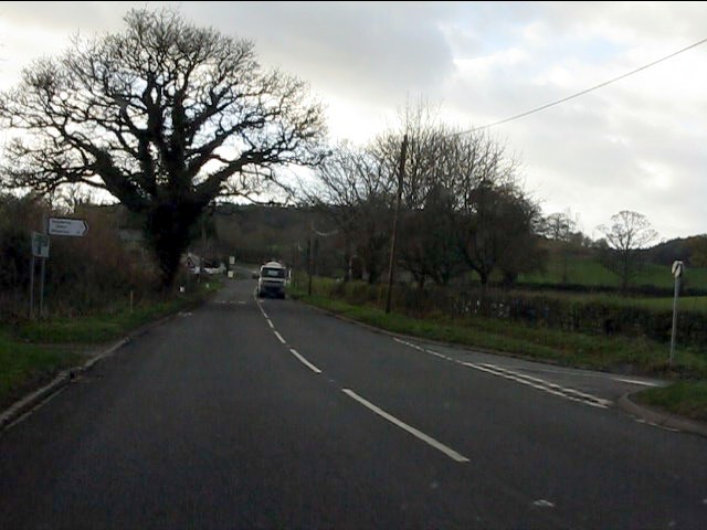
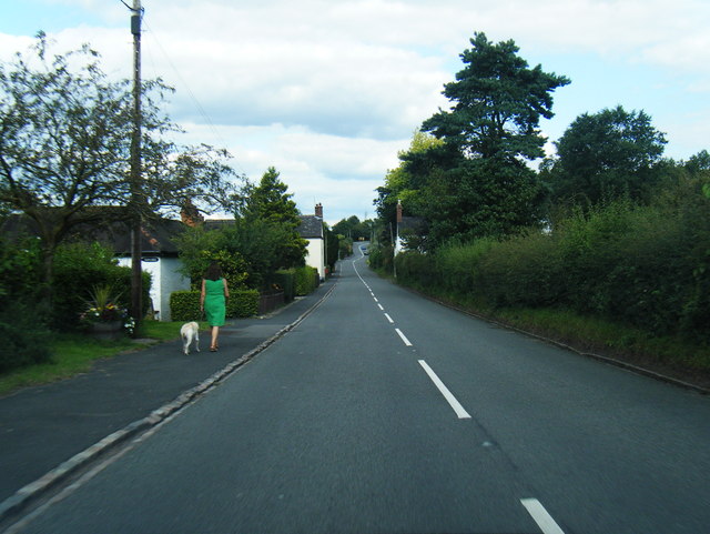
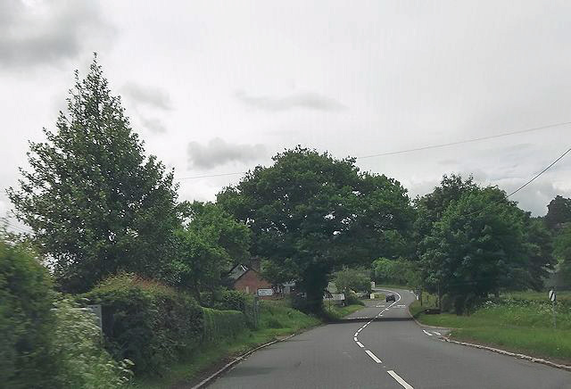
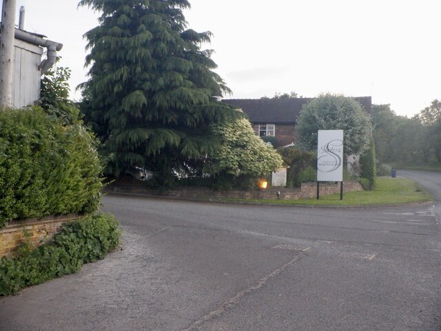
Coombe's Rough Images
Images are sourced within 2km of 52.944607/-2.2889398 or Grid Reference SJ8038. Thanks to Geograph Open Source API. All images are credited.


![Sunken Lane The footpath from Maer winds up a sunken lane out of the village. The path is overshadowed by some huge trees, many of which, like this beech tree, have massive roots twining down over the steep sides and exposed rocks. The sides of the path are covered with bluebells [hyacynthoides non-scripta] and ramsons [allium ursinum].](https://s0.geograph.org.uk/photos/76/91/769132_4f334373.jpg)
Coombe's Rough is located at Grid Ref: SJ8038 (Lat: 52.944607, Lng: -2.2889398)
Administrative County: Staffordshire
District: Newcastle-under-Lyme
Police Authority: Staffordshire
What 3 Words
///arrives.pave.talent. Near Standon, Staffordshire
Nearby Locations
Related Wikis

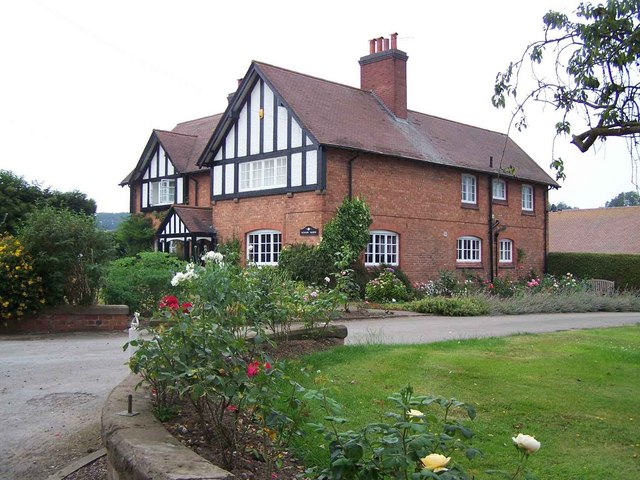
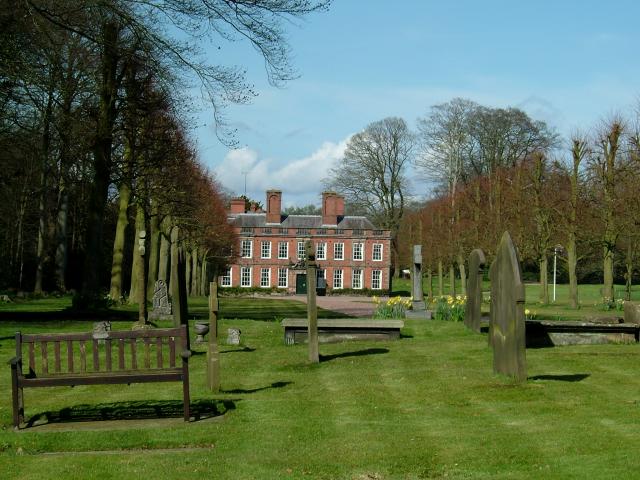
Maer Hall
Maer Hall is a large Grade II listed 17th-century country house in Maer, Staffordshire, set in a park which is listed Grade II in Historic England's Register...

Coombesdale
Coombesdale is a small settlement in Staffordshire, England. It is near the A51 road and is 6 kilometres (4 mi) southwest of the city of Stoke-on-Trent...
Berth Hill
Berth Hill is an Iron Age hillfort in Staffordshire, England, about 5 miles (8.0 km) south-west of Newcastle-under-Lyme, and near the village of Maer....
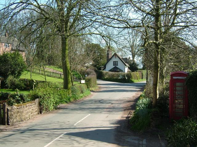
Maer, Staffordshire
Maer is a rural village and civil parish in the Borough of Newcastle-under-Lyme, Staffordshire, England, to the west of the pottery manufacturing town...
Baldwin's Gate
Baldwin's Gate is a village in the Borough of Newcastle-under-Lyme in Staffordshire. The population details for the 2011 census can be found under Whitmore...
Whitmore railway station
Whitmore was a station serving the village of Whitmore, Staffordshire. == History == The station opened onto the Grand Junction Railway in 1837: 41 when...
Whitmore, Staffordshire
Whitmore is a village and small curacy in the county of Staffordshire, England, near Newcastle-under-Lyme. The name Whitmore can be found in the Domesday...
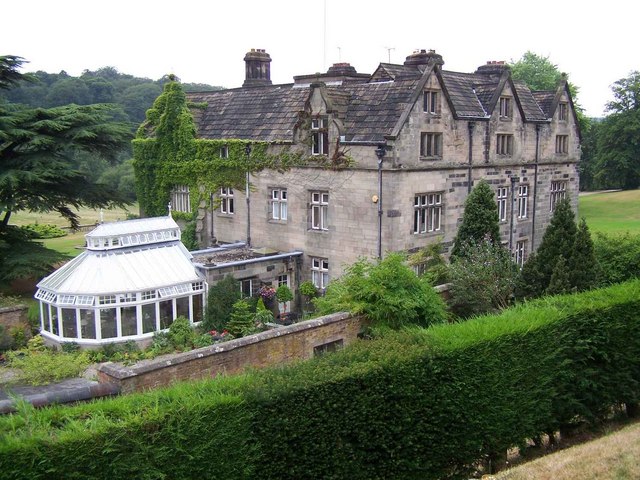
Whitmore Hall
Whitmore Hall is the home of the Cavenagh-Mainwaring family at Whitmore, Staffordshire. A Grade I listed building, the hall was designated a house of...
Have you been to Coombe's Rough?
Leave your review of Coombe's Rough below (or comments, questions and feedback).