Common
Wood, Forest in Gloucestershire Cotswold
England
Common

Common is a small village located in the county of Gloucestershire, in the southwest of England. Situated in the Forest of Dean district, it is surrounded by lush woodlands and rolling hills, making it a picturesque and idyllic setting. The village is part of the larger Forest of Dean, a renowned area of natural beauty and one of the few remaining ancient woodlands in England.
Common itself is a close-knit community with a population of around 500 residents. The village is characterized by its charming traditional houses, many of which date back several centuries, giving it a distinct historical feel. The local architecture reflects the traditional style of the region, with timber-framed buildings and stone cottages.
The village offers a range of amenities for its residents and visitors. There is a small primary school, a community hall, a local pub, and a village shop that caters to the daily needs of the residents. The nearby town of Coleford provides additional services and facilities, including secondary schools, supermarkets, and healthcare facilities.
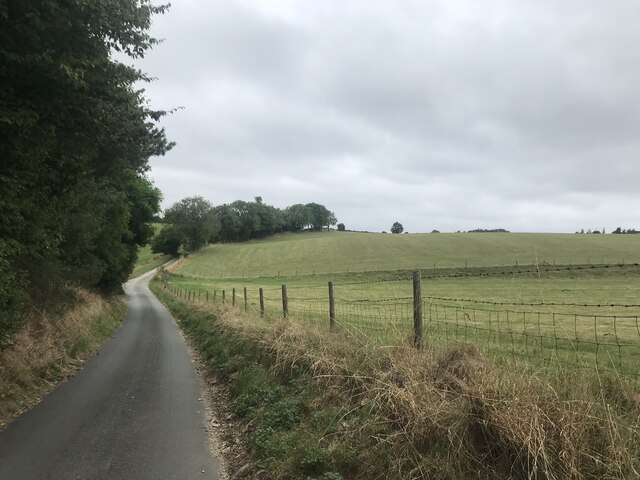
Common is a popular destination for outdoor enthusiasts, thanks to its proximity to the Forest of Dean. The area offers a variety of activities such as hiking, cycling, and horseback riding, allowing visitors to explore the natural beauty of the woodlands. Additionally, the village is close to several tourist attractions, including Puzzlewood, Clearwell Caves, and the Dean Heritage Centre, which showcase the rich history and heritage of the region.
In conclusion, Common, Gloucestershire, is a charming village nestled in the Forest of Dean. With its stunning natural surroundings, historical architecture, and range of amenities, it offers a tranquil and scenic place to live or visit.
If you have any feedback on the listing, please let us know in the comments section below.
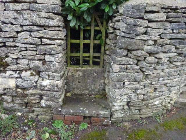
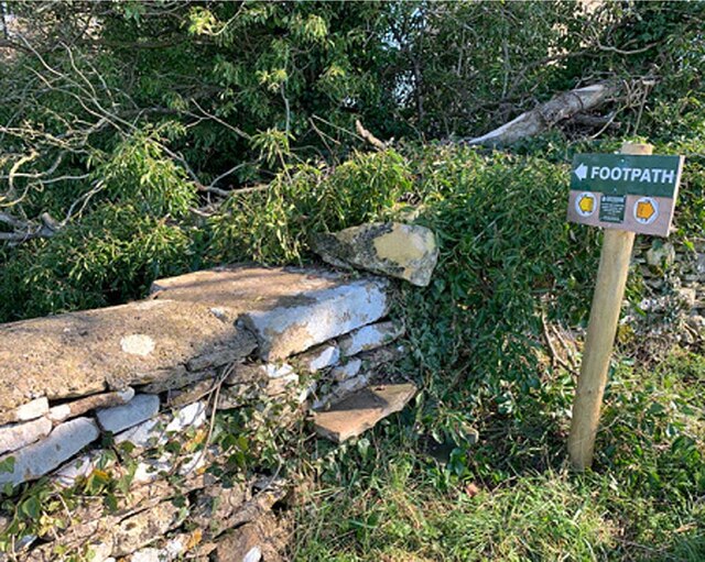
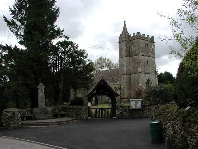
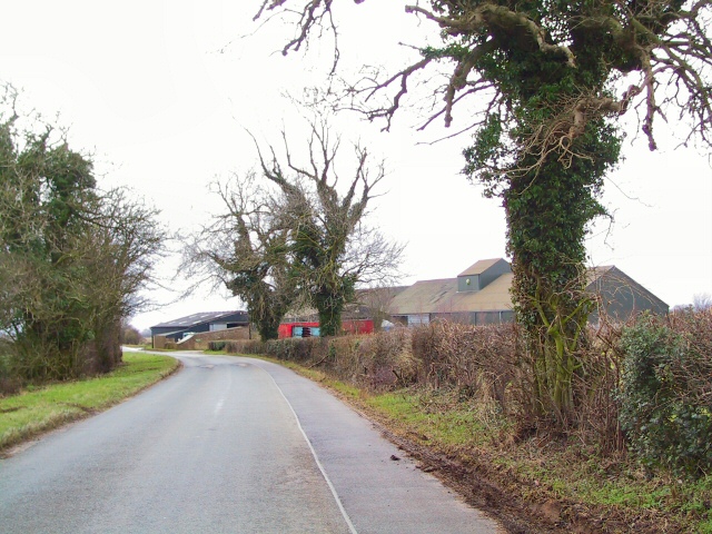
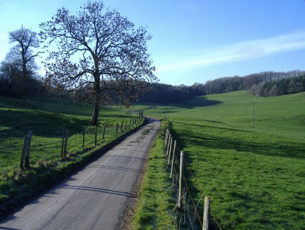
Common Images
Images are sourced within 2km of 51.65108/-2.2806345 or Grid Reference ST8094. Thanks to Geograph Open Source API. All images are credited.


Common is located at Grid Ref: ST8094 (Lat: 51.65108, Lng: -2.2806345)
Administrative County: Gloucestershire
District: Cotswold
Police Authority: Gloucestershire
What 3 Words
///marathons.behave.arranged. Near Wotton-under-Edge, Gloucestershire
Nearby Locations
Related Wikis

Bagpath
Bagpath is a hamlet in Gloucestershire, England, in the Ozleworth valley south of the village of Kingscote and forming part of Kingscote civil parish....
Kingscote Park, Gloucestershire
Kingscote Park (formerly Kingscote Cottage) is a Grade II listed house and country estate in Kingscote, near Tetbury, Gloucestershire, England. The original...

Lasborough Park
Lasborough Park (or Lasborough House) is a Grade II listed country house in Newington Bagpath/Lasborough, Tetbury, Gloucestershire, England. The estate...

Lasborough
Lasborough is a settlement in Gloucestershire, England, part of the Westonbirt with Lasborough civil parish. Lasborough lies to the west of the A46, about...

Wotton-under-Edge BT Tower
Wotton-under-Edge Tower is a 76.2 metres ( 250 ft) tall telecommunication tower built of reinforced concrete at Wotton-under-Edge in Gloucestershire, UK...

A4135 road
The A4135 road is a road in Gloucestershire, England, connecting the town of Tetbury with the M5 motorway and the A38 road to the west, passing through...

Ozleworth
Ozleworth is a village and civil parish in Gloucestershire, England, approximately 30 km (19 mi) south of Gloucester. It lies in the Cotswolds, an Area...

St Nicholas of Myra's Church, Ozleworth
St Nicholas of Myra's Church is a redundant Anglican church in the village of Ozleworth, Gloucestershire, England, in the care of The Churches Conservation...
Nearby Amenities
Located within 500m of 51.65108,-2.2806345Have you been to Common?
Leave your review of Common below (or comments, questions and feedback).