Wall Leaze Wood

Wood, Forest in Wiltshire

England

Wall Leaze Wood

Burton church St Mary's church in Burton dates from the 13th century and is Grade I listed, see: <span class="nowrap"><a title="https://historicengland.org.uk/listing/the-list/list-entry/1022949?section=official-list-entry" rel="nofollow ugc noopener" href="https://historicengland.org.uk/listing/the-list/list-entry/1022949?section=official-list-entry">Link</a><img style="margin-left:2px;" alt="External link" title="External link - shift click to open in new window" src="https://s1.geograph.org.uk/img/external.png" width="10" height="10"/></span>
Burton church Credit: Philip Halling

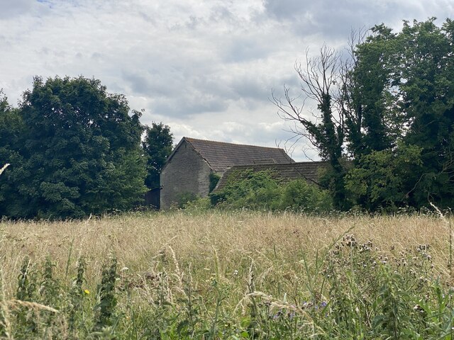
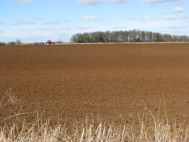
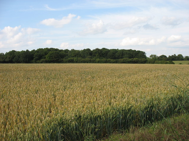
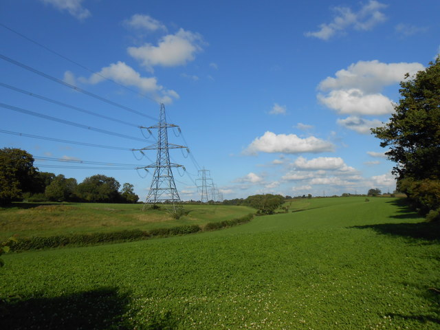
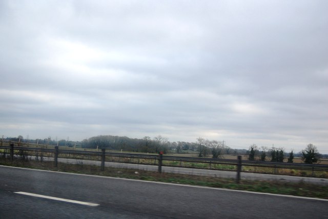
Wall Leaze Wood is a picturesque woodland located in the county of Wiltshire, England. Situated near the village of Wootton Rivers, it covers an area of approximately 40 hectares (99 acres). The wood forms part of the larger Savernake Forest, renowned for its ancient woodlands and diverse wildlife.

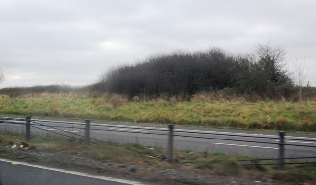
Wall Leaze Wood is predominantly made up of broadleaf trees, including oak, beech, ash, and birch. These towering trees create a dense canopy, allowing only dappled sunlight to filter through to the forest floor. The woodland boasts a rich variety of flora, with bluebells, wood anemones, and primroses carpeting the ground in springtime.

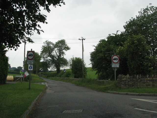
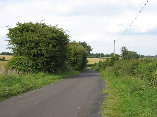
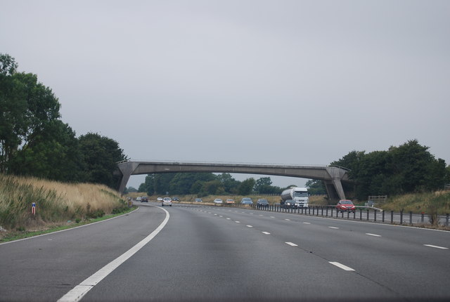
The wood is intersected by several footpaths, providing visitors with the opportunity to explore its natural beauty. The paths wind through the trees, offering glimpses of enchanting clearings and tranquil glades. Wildlife enthusiasts may spot various species of birds, such as woodpeckers, nuthatches, and tawny owls, as well as mammals like deer, foxes, and badgers.

Wall Leaze Wood has a long history, dating back centuries. It was once part of the extensive hunting grounds of the nearby Savernake Estate, which has a royal connection as it is owned by the Marquess of Ailesbury. Today, the wood is managed by the Forestry Commission, which ensures its conservation and promotes sustainable timber harvesting.

With its serene atmosphere, diverse flora and fauna, and its link to the region's history, Wall Leaze Wood is a cherished natural treasure in Wiltshire, attracting visitors who seek solace and a connection to nature.

If you have any feedback on the listing, please let us know in the comments section below.

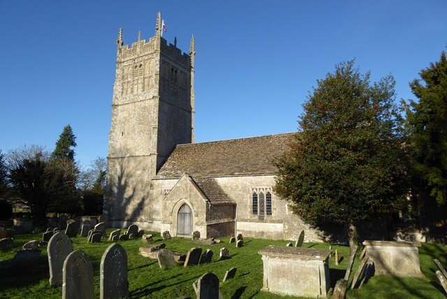
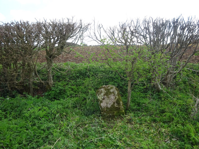
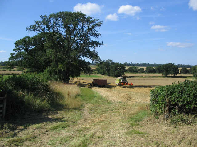
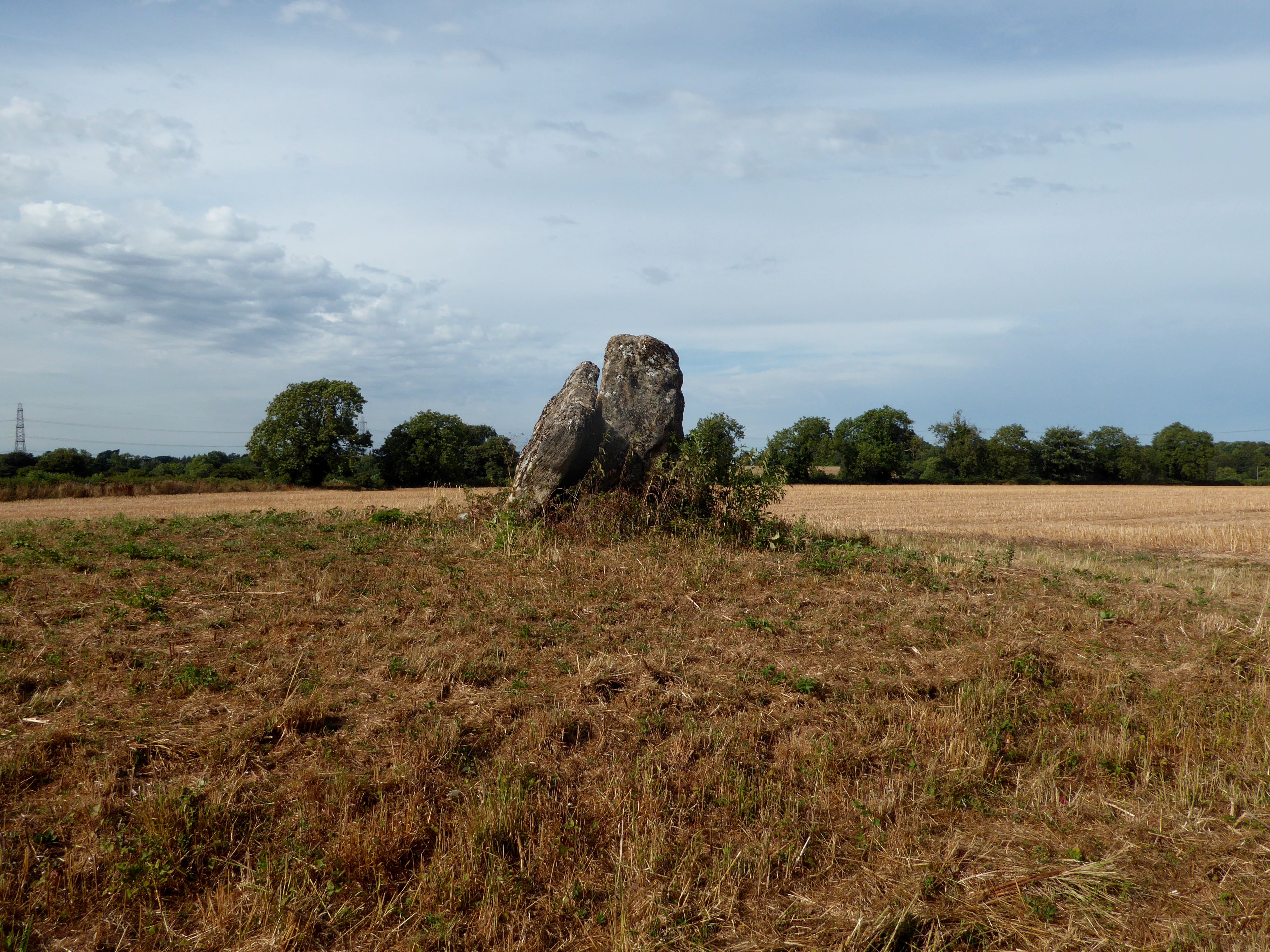
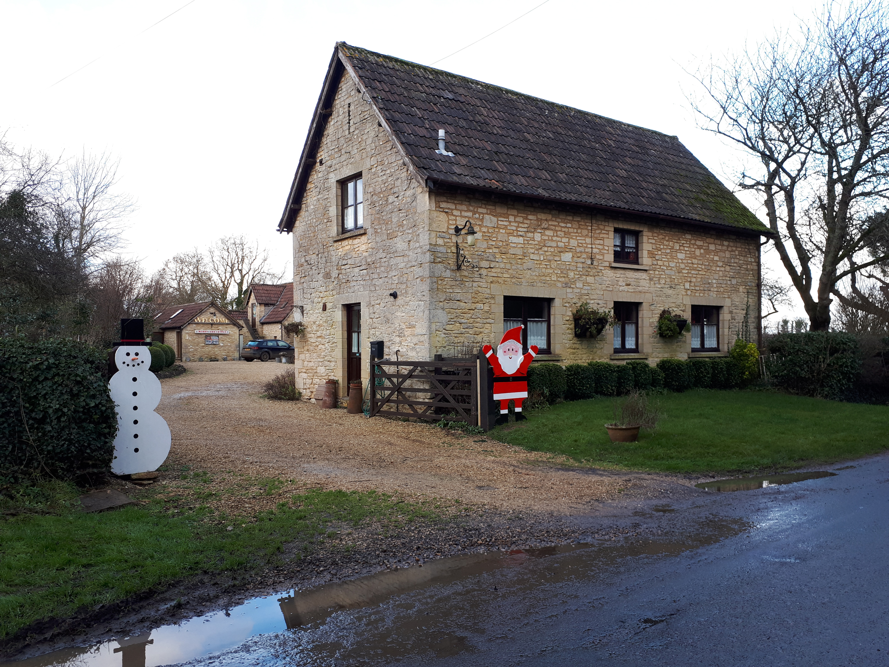
Wall Leaze Wood Images

Images are sourced within 2km of 51.515222/-2.279971 or Grid Reference ST8079. Thanks to Geograph Open Source API. All images are credited.

Burton church St Mary's church in Burton dates from the 13th century and is Grade I listed, see: <span class="nowrap"><a title="https://historicengland.org.uk/listing/the-list/list-entry/1022949?section=official-list-entry" rel="nofollow ugc noopener" href="https://historicengland.org.uk/listing/the-list/list-entry/1022949?section=official-list-entry">Link</a><img style="margin-left:2px;" alt="External link" title="External link - shift click to open in new window" src="https://s1.geograph.org.uk/img/external.png" width="10" height="10"/></span>
Burton church
St Mary's church in Burton dates from the 13th century and is Grade I listed, see: LinkExternal link
Old Milestone, B4040, Acton Turville On the South verge of the B4040, West of Acton Turville, in Tormarton parish. Rivet Benchmark on top representing 138.5 m ASL.

Inscription (was): Chipping Sodbury 5 / Chippenham 10

Milestone Society National ID: GL_SYCP05
Old Milestone, B4040, Acton Turville
On the South verge of the B4040, West of Acton Turville, in Tormarton parish. Rivet Benchmark on top representing 138.5 m ASL. Inscription (was): Chipping Sodbury 5 / Chippenham 10 Milestone Society National ID: GL_SYCP05
Warren Barn
Warren Barn
Harvest time A view looking north from the B4040 towards harvesting operations on the Cotswolds.
Harvest time
A view looking north from the B4040 towards harvesting operations on the Cotswolds.
Freshly turned field by Warren Barn
Road junction west of Burton
Wall Leaze Wood From a minor road west of Burton, Wiltshire.
The M4 is only 300 metres away, but here it can be heard but not seen!
Wall Leaze Wood
From a minor road west of Burton, Wiltshire. The M4 is only 300 metres away, but here it can be heard but not seen!
The lane leading from Tormarton to Burton
House at Burton Farm This modern house is part of the farm just to the south of the village of Burton which is mainly a pig farm with an extensive range of pig units.
House at Burton Farm
This modern house is part of the farm just to the south of the village of Burton which is mainly a pig farm with an extensive range of pig units.
Powerlines Near Nettleton These powerlines are in the very north east corner of the grid square. The pylon in the middle of the image is actually in ST8278. Most of the sloping land in this area is pasture land.
Powerlines Near Nettleton
These powerlines are in the very north east corner of the grid square. The pylon in the middle of the image is actually in ST8278. Most of the sloping land in this area is pasture land.
Green Triangle at Nettleton Green This patch of grass is right in the heart of this small village. The signpost next to the attractive half-barrel tub of flowers points the direction to North Wraxall and West Kington (to the left), Burton and Badminton (to the right), and Tolldown and Todmarton (straight ahead). The last-mentioned road  is also signposted as the direction to the village post office and store. The village improvement committee of the parish council is obviously hard at work as there is a waste bin attached to the sign post next to the flowers.
Green Triangle at Nettleton Green
This patch of grass is right in the heart of this small village. The signpost next to the attractive half-barrel tub of flowers points the direction to North Wraxall and West Kington (to the left), Burton and Badminton (to the right), and Tolldown and Todmarton (straight ahead). The last-mentioned road is also signposted as the direction to the village post office and store. The village improvement committee of the parish council is obviously hard at work as there is a waste bin attached to the sign post next to the flowers.
Manor Farm This four-bay barn is on Manor Farm close to the minor road that runs from Nettleton Green to the Fosse Way about a kilometre distant. This road would have been important in times gone by as it runs the mill on the Broadmead Brook just on the other eastern side of the Fosse Way. The land is mainly pasture fields.
Manor Farm
This four-bay barn is on Manor Farm close to the minor road that runs from Nettleton Green to the Fosse Way about a kilometre distant. This road would have been important in times gone by as it runs the mill on the Broadmead Brook just on the other eastern side of the Fosse Way. The land is mainly pasture fields.
M4, B4039 Bridge
M4, B4039 Bridge
The M4 The M4 is 190 miles long and runs from London to South Wales. Major centres close to the motorway include Reading, Swindon, Bristol, Newport, Cardiff and Swansea. The motorway was constructed between 1961 and 1996. The M4 originally crossed the first Severn Road Bridge. It has now been diverted to use the Second Severn Crossing and the motorway over the older bridge has been renumbered as M48.
Wikipedia: <span class="nowrap"><a title="http://en.wikipedia.org/wiki/M4_motorway" rel="nofollow ugc noopener" href="http://en.wikipedia.org/wiki/M4_motorway">Link</a><img style="margin-left:2px;" alt="External link" title="External link - shift click to open in new window" src="https://s1.geograph.org.uk/img/external.png" width="10" height="10"/></span>
The M4
The M4 is 190 miles long and runs from London to South Wales. Major centres close to the motorway include Reading, Swindon, Bristol, Newport, Cardiff and Swansea. The motorway was constructed between 1961 and 1996. The M4 originally crossed the first Severn Road Bridge. It has now been diverted to use the Second Severn Crossing and the motorway over the older bridge has been renumbered as M48. Wikipedia: LinkExternal link
Bushes by the M4
Bushes by the M4
Marsh Lane Bridge, M4 The M4 is 190 miles long and runs from London to South Wales. Major centres close to the motorway include Reading, Swindon, Bristol, Newport, Cardiff and Swansea. The motorway was constructed between 1961 and 1996. The M4 originally crossed the first Severn Road Bridge. It has now been diverted to use the Second Severn Crossing and the motorway over the older bridge has been renumbered as M48.
Wikipedia: <span class="nowrap"><a title="http://en.wikipedia.org/wiki/M4_motorway" rel="nofollow ugc noopener" href="http://en.wikipedia.org/wiki/M4_motorway">Link</a><img style="margin-left:2px;" alt="External link" title="External link - shift click to open in new window" src="https://s1.geograph.org.uk/img/external.png" width="10" height="10"/></span>
Marsh Lane Bridge, M4
The M4 is 190 miles long and runs from London to South Wales. Major centres close to the motorway include Reading, Swindon, Bristol, Newport, Cardiff and Swansea. The motorway was constructed between 1961 and 1996. The M4 originally crossed the first Severn Road Bridge. It has now been diverted to use the Second Severn Crossing and the motorway over the older bridge has been renumbered as M48. Wikipedia: LinkExternal link
B4039 bridge, M4 The M4 is 190 miles long and runs from London to South Wales. Major centres close to the motorway include Reading, Swindon, Bristol, Newport, Cardiff and Swansea. The motorway was constructed between 1961 and 1996. The M4 originally crossed the first Severn Road Bridge. It has now been diverted to use the Second Severn Crossing and the motorway over the older bridge has been renumbered as M48.
Wikipedia: <span class="nowrap"><a title="http://en.wikipedia.org/wiki/M4_motorway" rel="nofollow ugc noopener" href="http://en.wikipedia.org/wiki/M4_motorway">Link</a><img style="margin-left:2px;" alt="External link" title="External link - shift click to open in new window" src="https://s1.geograph.org.uk/img/external.png" width="10" height="10"/></span>
B4039 bridge, M4
The M4 is 190 miles long and runs from London to South Wales. Major centres close to the motorway include Reading, Swindon, Bristol, Newport, Cardiff and Swansea. The motorway was constructed between 1961 and 1996. The M4 originally crossed the first Severn Road Bridge. It has now been diverted to use the Second Severn Crossing and the motorway over the older bridge has been renumbered as M48. Wikipedia: LinkExternal link
Wiltshire welcomes you near Burton The B4039 from Acton Turville in South Gloucestershire passes the Wiltshire boundary sign. 
The village of Burton is ahead.
Wiltshire welcomes you near Burton
The B4039 from Acton Turville in South Gloucestershire passes the Wiltshire boundary sign. The village of Burton is ahead.
Show me another place!

Wall Leaze Wood is located at Grid Ref: ST8079 (Lat: 51.515222, Lng: -2.279971)

Unitary Authority: Wiltshire

Police Authority: Wiltshire

What 3 Words

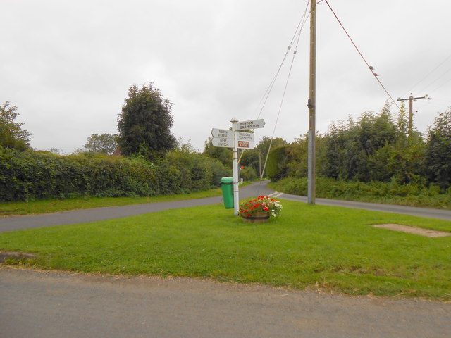
///levels.marmalade.question. Near Nettleton, Wiltshire

Nearby Locations

Wall Leaze Wood

Related Wikis

Burton, Nettleton

Burton is a small village in the Cotswolds Area of Outstanding Natural Beauty in Wiltshire, England. Kelly's 1915 Directory of Wiltshire identifies Burton...

Acton Turville

Acton Turville is a parish in the Cotswold Edge ward within South Gloucestershire, England. It lies 17 miles (27 km) east-northeast of Bristol and 93 miles...

Badminton railway station

Badminton railway station is a closed railway station in Gloucestershire, England on the line between Wootton Bassett to the east, and Patchway and Filton...

Nettleton, Wiltshire

Nettleton is a village and civil parish about 6.5 miles (10.5 km) northwest of Chippenham in Wiltshire, England. The parish includes the villages of Burton...

Chipping Sodbury Tunnel

Chipping Sodbury Tunnel is a railway tunnel that is situated on the South Wales Main Line in England. It runs under the Cotswold Hills for 4444 yards,...

West Kington

West Kington is a village in the civil parish of Nettleton, in Wiltshire, England. The village lies in the steeply wooded valley of the Broadmead Brook...

Lugbury Long Barrow

Lugbury Long Barrow is a prehistoric long barrow in Wiltshire, England, about 0.6 miles (1 km) east of Nettleton and about 1 mile (1.6 km) north-west of...

Fosse Farmhouse

Fosse Farmhouse is an 18th-century farmhouse in the English Cotswolds near the Fosse Way and Castle Combe. It is now used to provide hospitality and accommodation...

Have you been to Wall Leaze Wood?

Leave your review of Wall Leaze Wood below (or comments, questions and feedback).