Blindmeend Plantation

Wood, Forest in Gloucestershire Forest of Dean

England

Blindmeend Plantation

Former toll house The Pike House, built as a turnpike house.  A 19th century former toll house which was enlarged in the early 20th century.   The house stands on the junction of the B4431 and the road to Bream.  The house is Grade II listed, see: <span class="nowrap"><a title="https://historicengland.org.uk/listing/the-list/list-entry/1299231" rel="nofollow ugc noopener" href="https://historicengland.org.uk/listing/the-list/list-entry/1299231">Link</a><img style="margin-left:2px;" alt="External link" title="External link - shift click to open in new window" src="https://s1.geograph.org.uk/img/external.png" width="10" height="10"/></span>
Former toll house Credit: Philip Halling

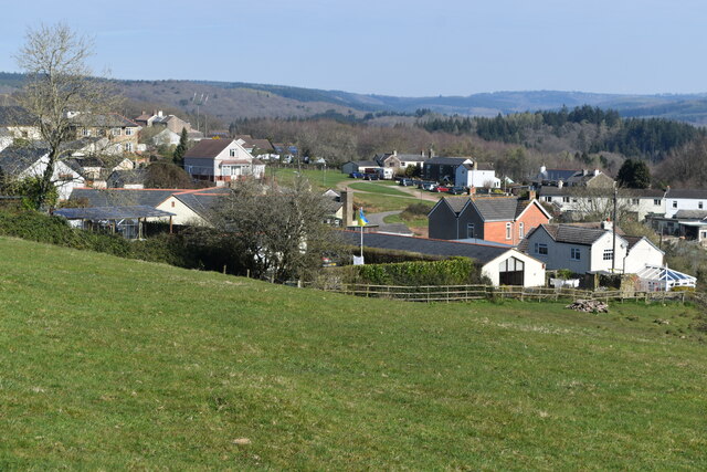
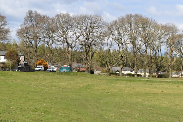
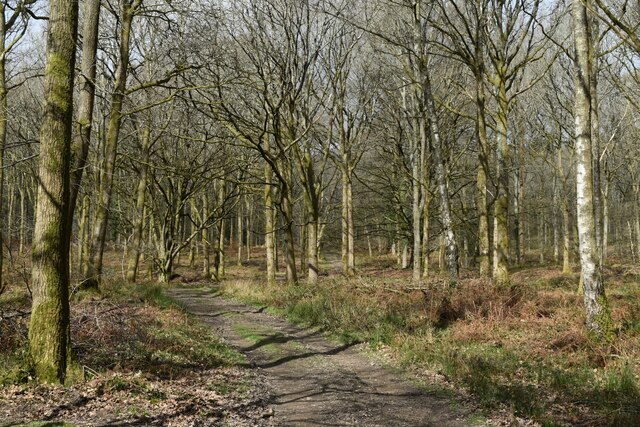
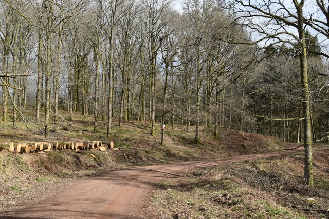
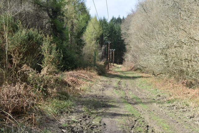
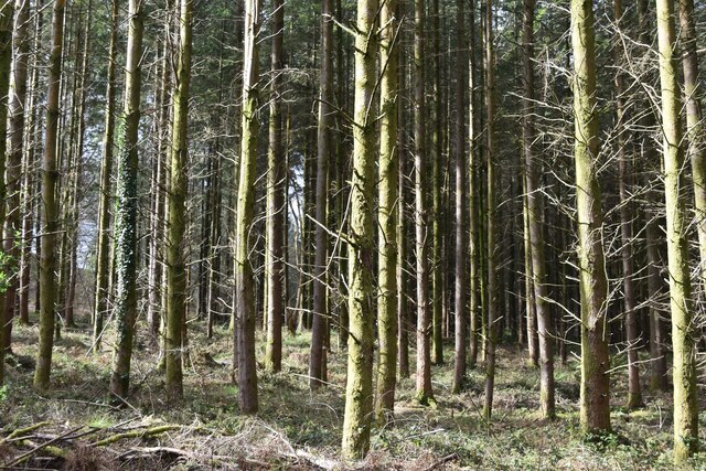
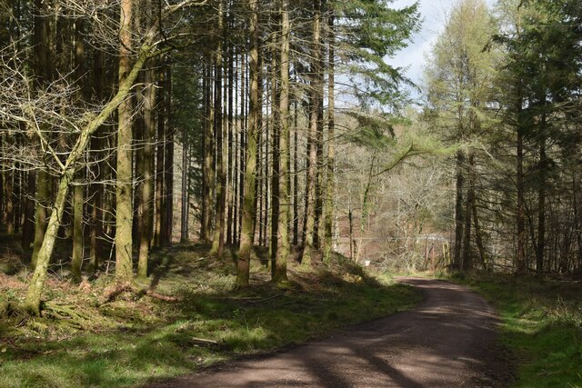
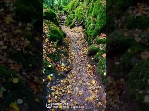
Blindmeend Plantation is a charming woodland area located in Gloucestershire, England. Situated amidst the picturesque countryside, this plantation covers a vast expanse of land and is known for its dense and diverse forest ecosystem. The plantation is primarily composed of deciduous trees, including oak, beech, and birch, which provide a stunning display of colors during the autumn season.

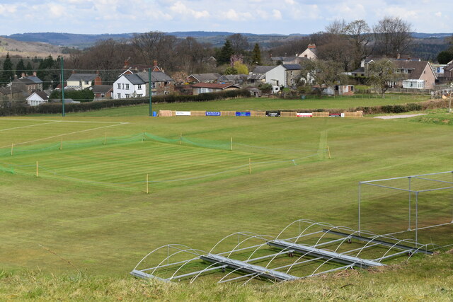
The unique feature of Blindmeend Plantation is its well-maintained network of trails that wind through the woods, allowing visitors to explore the area while immersing themselves in the natural beauty. These trails are suitable for hikers of all levels, offering a range of difficulty levels and lengths, from short family-friendly walks to longer, more challenging routes. Along the way, visitors may encounter various wildlife species such as deer, squirrels, and a variety of bird species.

Blindmeend Plantation is also home to a diverse range of plant life, including a carpet of wildflowers that bloom in the spring, adding bursts of vibrant colors to the woodland landscape. The plantation serves as an important habitat for many rare and protected plant species, making it a site of ecological significance.

This woodland area is well-maintained by the local authorities, with regular conservation efforts and tree planting initiatives taking place. Visitors are encouraged to respect the natural environment and follow designated pathways to ensure the preservation of this beautiful woodland. Overall, Blindmeend Plantation offers a tranquil escape from the bustling city life, allowing visitors to connect with nature and enjoy the serenity of the Gloucestershire countryside.

If you have any feedback on the listing, please let us know in the comments section below.

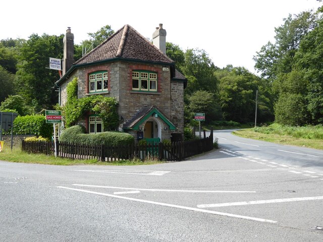
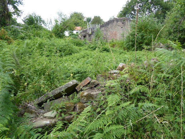
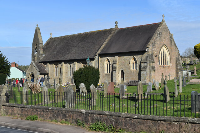
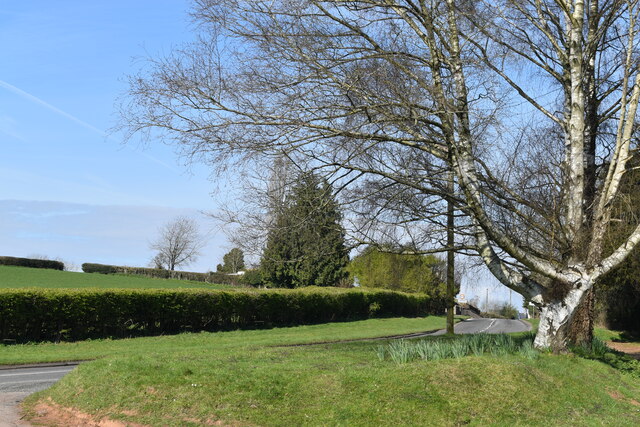
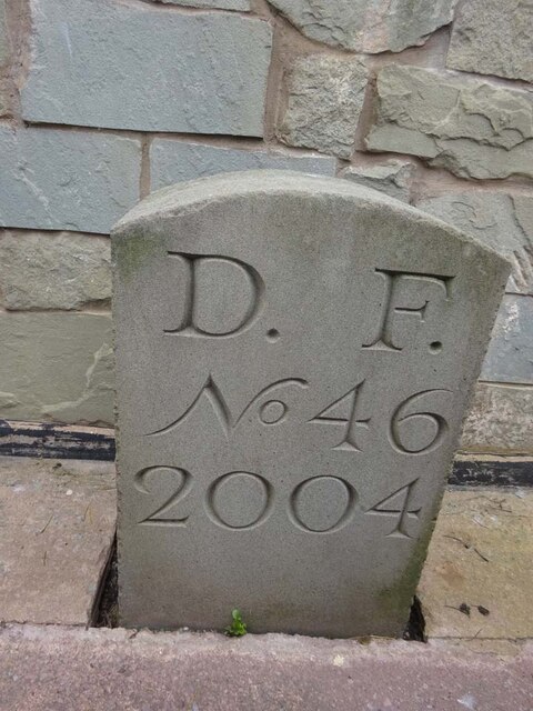
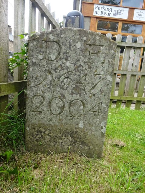
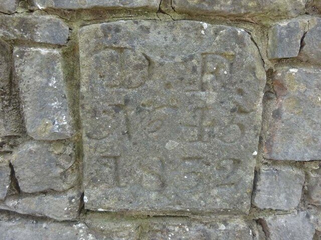
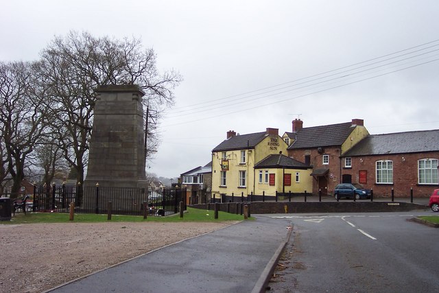
Blindmeend Plantation Images

Images are sourced within 2km of 51.757721/-2.5897767 or Grid Reference SO5906. Thanks to Geograph Open Source API. All images are credited.

Former toll house The Pike House, built as a turnpike house.  A 19th century former toll house which was enlarged in the early 20th century.   The house stands on the junction of the B4431 and the road to Bream.  The house is Grade II listed, see: <span class="nowrap"><a title="https://historicengland.org.uk/listing/the-list/list-entry/1299231" rel="nofollow ugc noopener" href="https://historicengland.org.uk/listing/the-list/list-entry/1299231">Link</a><img style="margin-left:2px;" alt="External link" title="External link - shift click to open in new window" src="https://s1.geograph.org.uk/img/external.png" width="10" height="10"/></span>
Former toll house
The Pike House, built as a turnpike house. A 19th century former toll house which was enlarged in the early 20th century. The house stands on the junction of the B4431 and the road to Bream. The house is Grade II listed, see: LinkExternal link
The remains of the Titanic Steelworks The Titanic steelworks were so named because Robert Mushet the owner was experimenting with Titanium at that time.  Robert Mushet was working on solving the problems with the Bessemer steel making process.
The remains of the Titanic Steelworks
The Titanic steelworks were so named because Robert Mushet the owner was experimenting with Titanium at that time. Robert Mushet was working on solving the problems with the Bessemer steel making process.
St James’ Church Bream Sunday morning worshippers gathering outside the door.
St James’ Church Bream
Sunday morning worshippers gathering outside the door.
Wide verge beside Lyndsey Road
View over Pastor’s Hill, Bream
Grassy hillside below Cox's Way
Sports ground at Bream Seen from the Cenotaph.
Sports ground at Bream
Seen from the Cenotaph.
Woodland path at Parkend Walk
Timber stacked beside the Gloucestershire Way
Forest track beside Dry Brook
View into woods at Parkend Walk
Forest tack at Parkend Walk
Track and house below former railway line
Cycle route on former railway from Parkend to Coleford
Houses in valley bottom The Gloucestershire Way descends steeply, crosses the road and climbs again behind these buildings, one of which hosts a pottery studio.
Houses in valley bottom
The Gloucestershire Way descends steeply, crosses the road and climbs again behind these buildings, one of which hosts a pottery studio.
Boundary Stone, Bream In the minuscule front garden of Drywell Cottage, High Street. Opposite a coffee shop that has a companion Royal Forest of Dean BS <a href="https://www.geograph.org.uk/photo/7483936">SO6005 : Boundary Stone, Bream</a>, in the outdoor eating garden.

Inscription: D. F. / Nᴼ. 46 / 2004

Milestone Society National ID: GL_DFWDEA46em
Boundary Stone, Bream
In the minuscule front garden of Drywell Cottage, High Street. Opposite a coffee shop that has a companion Royal Forest of Dean BS SO6005 : Boundary Stone, Bream, in the outdoor eating garden. Inscription: D. F. / Nᴼ. 46 / 2004 Milestone Society National ID: GL_DFWDEA46em
Boundary Stone, Bream In the garden eating area of a coffee shop in the High Street, opposite another Royal Forest of Dean BS <a href="https://www.geograph.org.uk/photo/7483933">SO6005 : Boundary Stone, Bream</a>, in the minuscule front garden of Drywell Cottage.

Inscription: D. F. / Nᴼ. 47 / 2004

Milestone Society National ID: GL_DFWDEA47em
Boundary Stone, Bream
In the garden eating area of a coffee shop in the High Street, opposite another Royal Forest of Dean BS SO6005 : Boundary Stone, Bream, in the minuscule front garden of Drywell Cottage. Inscription: D. F. / Nᴼ. 47 / 2004 Milestone Society National ID: GL_DFWDEA47em
Boundary Stone, Bream Embedded in the retaining garden wall of "Windy Ridge", in the ramped approach to the "Rising Sun" pub, High Street.

Inscription: D. F. / Nᴼ. 45 / 1832

Milestone Society National ID: GL_DFWDEA45em
Boundary Stone, Bream
Embedded in the retaining garden wall of "Windy Ridge", in the ramped approach to the "Rising Sun" pub, High Street. Inscription: D. F. / Nᴼ. 45 / 1832 Milestone Society National ID: GL_DFWDEA45em
Show me another place!

Blindmeend Plantation is located at Grid Ref: SO5906 (Lat: 51.757721, Lng: -2.5897767)

Administrative County: Gloucestershire

District: Forest of Dean

Police Authority: Gloucestershire

What 3 Words

///starting.capers.disgraced. Near Bream, Gloucestershire

Related Wikis

Bream, Gloucestershire

Bream (historically known as Breem) is a village in the Forest of Dean, west Gloucestershire, England. The population was around 3,170 in the 2011 census...

Ellwood, Gloucestershire

Ellwood is a hamlet in the Forest of Dean district in Gloucestershire, England. It lies around 3 kilometres (1.9 mi) south-east of Coleford. The hamlet...

Sling, Gloucestershire

Sling is a village in Gloucestershire, England. The village is located between Clearwell and Bream. It is just south of the village of Milkwall. ��2�...

West Dean, Gloucestershire

West Dean is a civil parish, situated in the Forest of Dean district of Gloucestershire, England. == History == The Forest of Dean was an extra-parochial...

Mary Rose Young

Mary Rose Young is a ceramic artist who lives and works in the Forest of Dean, Gloucestershire, in the UK. == Early life == Mary Rose Young was born near...

Nagshead

Nagshead is a woodland reserve, located on the western edge of Parkend, in the Forest of Dean, Gloucestershire, and is home to RSPB Nagshead. The site...

Darkhill Ironworks

Darkhill Ironworks, and the neighbouring Titanic Steelworks, are internationally important industrial remains associated with the development of the iron...

Milkwall

Milkwall is a village in the Forest of Dean in Gloucestershire, England. It lies between the village of Sling to the south, and the town of Coleford to...

Related Videos

One of the oldest forest in UK that you must visit ! 🧚🌲 #outdoors #travel #adventures #puzzlewood

Puzzlewood is an ancient woodland located in the Forest of Dean, Gloucestershire, UK. It is renowned for its otherworldly and ...

THE MAGICAL WOODLANDS OF PUZZLEWOOD || ENGLAND TRAVEL VLOG #magical #forestofdean #travelwithme

A great place for a walk through an enchanted woodland in the Forest of Dean - used as a filming set for Star Wars, The Huntsman ...

Go get it! 😉

puzzlewoodfod #travel #europe #adventures #travelphotography #solotravel #goexplore #wonderfulplaces #travelbug ...

Did you knew that you can find jungle in UK ??😮 #nature #jungle #hiddengems

Did you knew that you can find jungle in UK ?? Puzzlewood is an ancient woodland site and tourist attraction, near Coleford in the ...

Nearby Amenities

Located within 500m of 51.757721,-2.5897767
Clement's Tump
Created By: Potlatch 0.10f
Historic: monument
Source: NPE
Lat/Long: 51.7587537/-2.5895981
Bus Stop
Elwall Farm Turn
Naptan AtcoCode: 1600GL1339
Naptan Bearing: NW
Naptan CommonName: Elwall Farm Turn
Naptan NaptanCode: gloagatd
Naptan Street: Main Road
Naptan Verified: no
Source: naptan_import
Lat/Long: 51.7597267/-2.5923937
Elwall Farm Turn
Naptan AtcoCode: 1600GL1340
Naptan Bearing: SE
Naptan BusStopType: CUS
Naptan CommonName: Elwall Farm Turn
Naptan NaptanCode: gloagatg
Naptan Street: Main Road
Naptan Verified: no
Source: naptan_import
Lat/Long: 51.7597685/-2.5922146
Post Box
Fixme: Reference
Post Box Type: lamp
Royal Cypher: EIIR
Royal Cypher Wikidata: Q33102113
Lat/Long: 51.7597365/-2.592435
Telephone
Booth: K6
Covered: booth
Man Made: telephone_box
Source: Bing
Lat/Long: 51.7597518/-2.5924215
Power: pole
Lat/Long: 51.7584888/-2.5849937
Power: pole
Lat/Long: 51.7593944/-2.5874895
Power: pole
Lat/Long: 51.7596194/-2.5883451
Power: pole
Lat/Long: 51.7599714/-2.5899008
Power: pole
Lat/Long: 51.7603457/-2.5914833
Power: pole
Lat/Long: 51.7605408/-2.592245
Bench
Lat/Long: 51.7597307/-2.5924526
Defibrillator
Defibrillator Location: on back of bus shelter
Emergency: defibrillator
Indoor: no
Lat/Long: 51.7597279/-2.5924159
Ford: yes
Lat/Long: 51.7575321/-2.59615
The data included in this document is from www.openstreetmap.org. The data is made available under ODbL.

Have you been to Blindmeend Plantation?

Leave your review of Blindmeend Plantation below (or comments, questions and feedback).