Horwell Hill

Hill, Mountain in Gloucestershire Forest of Dean

England

Horwell Hill

St James’ Church Bream Sunday morning worshippers gathering outside the door.
St James’ Church Bream Credit: David Martin

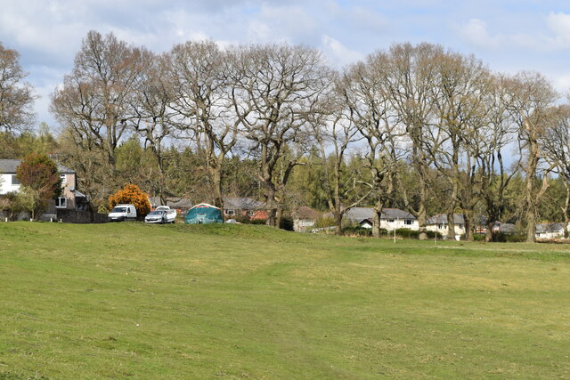
Horwell Hill is a prominent geographical feature located in the county of Gloucestershire, England. Situated in the beautiful Cotswold Hills, it stands as an impressive hill in the region. With an elevation of approximately 250 meters (820 feet), it is considered more of a hill than a mountain, yet still provides stunning views of the surrounding landscape.

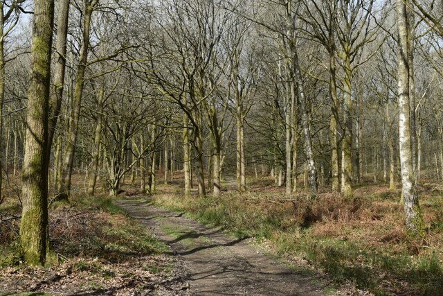
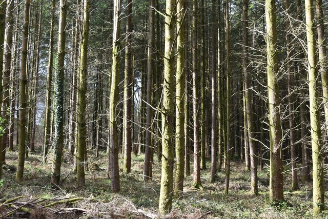
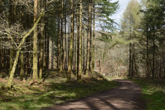
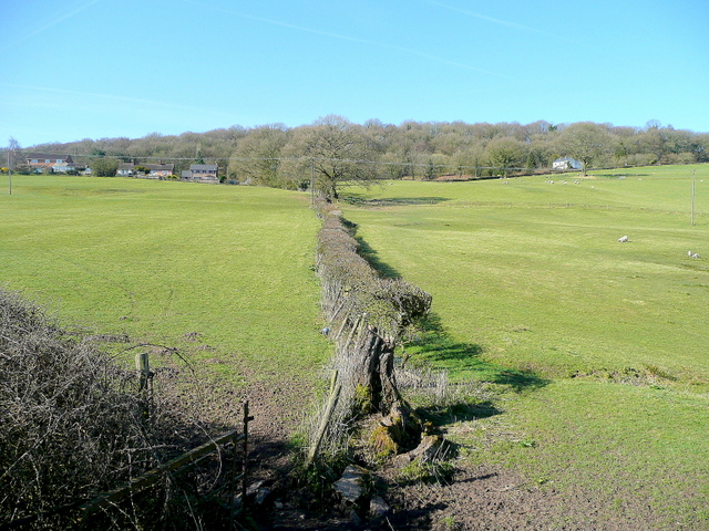
The hill is covered in lush green vegetation, which includes a mix of grasses, shrubs, and trees. This diverse flora supports a variety of wildlife, creating a vibrant ecosystem. The hill's slopes are gentle, making it accessible for visitors who wish to explore its natural beauty.

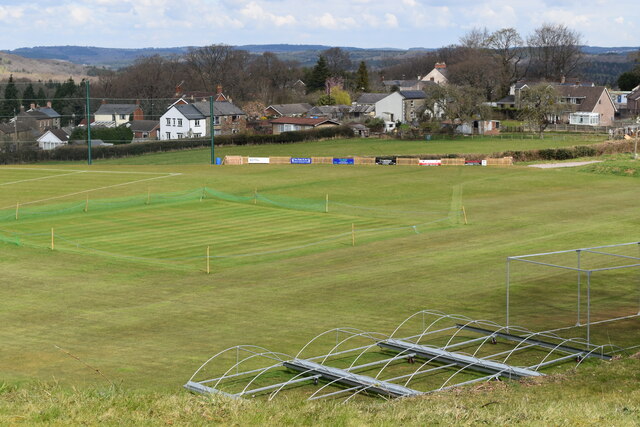
Horwell Hill is a popular destination for hikers, nature enthusiasts, and avid photographers. Its open landscape and panoramic vistas offer picturesque scenes, especially during sunrise and sunset. On clear days, visitors can enjoy breathtaking views of the neighboring Cotswold villages, rolling farmland, and distant hills.

In addition to its natural allure, Horwell Hill boasts a rich historical background. The area surrounding the hill has archaeological sites that date back to the Neolithic period, indicating human presence in the region for thousands of years. It serves as a reminder of the area's ancient heritage and provides an opportunity for archaeological exploration.

Overall, Horwell Hill in Gloucestershire offers a blend of natural beauty and historical significance. Its accessibility, stunning views, and diverse ecology make it a noteworthy destination for those seeking outdoor adventures or a peaceful retreat in the heart of the Cotswolds.

If you have any feedback on the listing, please let us know in the comments section below.
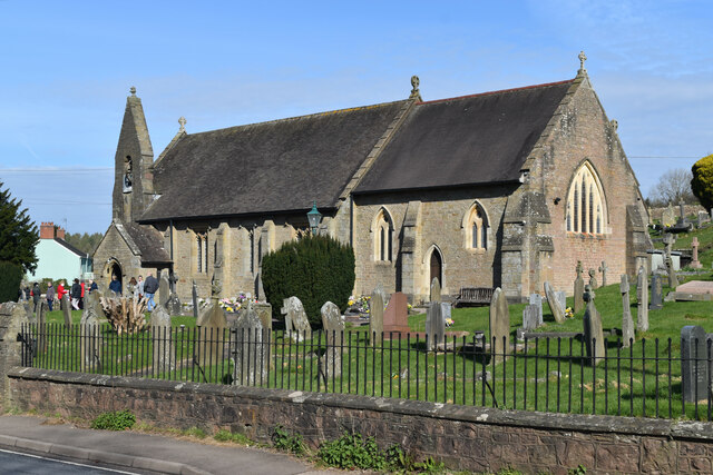
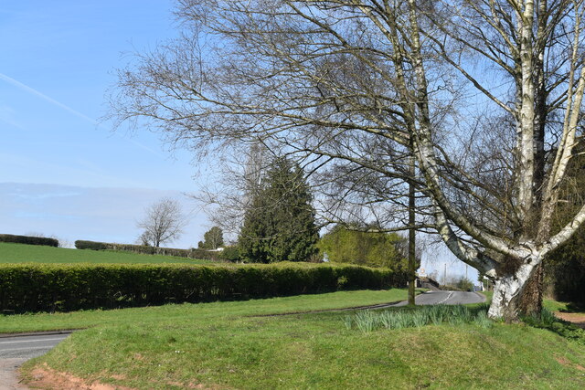
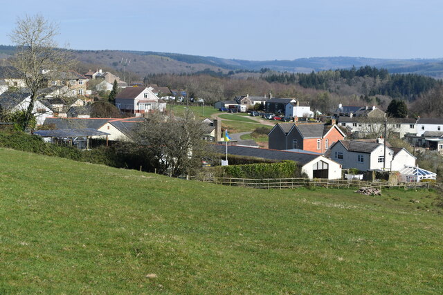
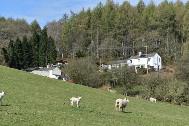
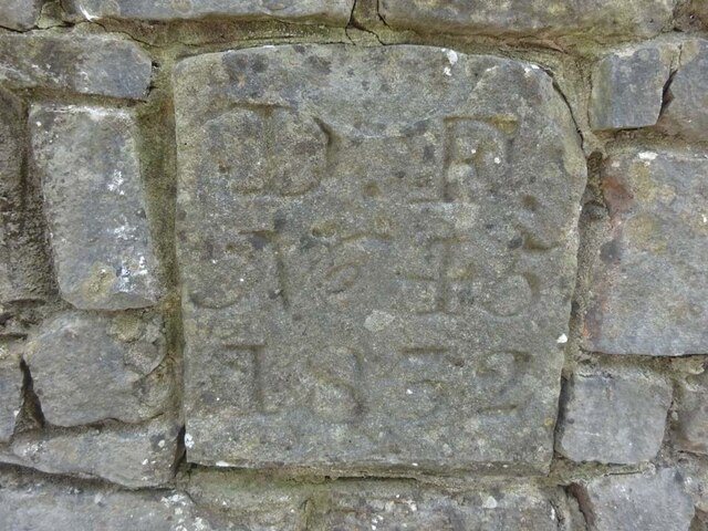
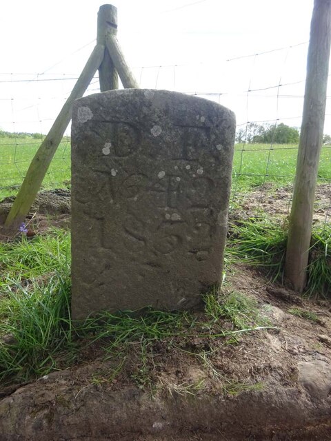
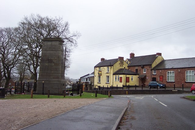
Horwell Hill Images

Images are sourced within 2km of 51.752017/-2.5905281 or Grid Reference SO5906. Thanks to Geograph Open Source API. All images are credited.

St James’ Church Bream Sunday morning worshippers gathering outside the door.
St James’ Church Bream
Sunday morning worshippers gathering outside the door.
Wide verge beside Lyndsey Road
View over Pastor’s Hill, Bream
Downhill view at Pastor’s Hill
Houses on hillside at Pastor’s Hill
Grassy hillside below Cox's Way
Sports ground at Bream Seen from the Cenotaph.
Sports ground at Bream
Seen from the Cenotaph.
Woodland path at Parkend Walk
Forest track beside Dry Brook
View into woods at Parkend Walk
Forest tack at Parkend Walk
Boundary Stone, Bream In the minuscule front garden of Drywell Cottage, High Street. Opposite a coffee shop that has a companion Royal Forest of Dean BS <a href="https://www.geograph.org.uk/photo/7483936">SO6005 : Boundary Stone, Bream</a>, in the outdoor eating garden.

Inscription: D. F. / Nᴼ. 46 / 2004

Milestone Society National ID: GL_DFWDEA46em
Boundary Stone, Bream
In the minuscule front garden of Drywell Cottage, High Street. Opposite a coffee shop that has a companion Royal Forest of Dean BS SO6005 : Boundary Stone, Bream, in the outdoor eating garden. Inscription: D. F. / Nᴼ. 46 / 2004 Milestone Society National ID: GL_DFWDEA46em
Boundary Stone, Bream In the garden eating area of a coffee shop in the High Street, opposite another Royal Forest of Dean BS <a href="https://www.geograph.org.uk/photo/7483933">SO6005 : Boundary Stone, Bream</a>, in the minuscule front garden of Drywell Cottage.

Inscription: D. F. / Nᴼ. 47 / 2004

Milestone Society National ID: GL_DFWDEA47em
Boundary Stone, Bream
In the garden eating area of a coffee shop in the High Street, opposite another Royal Forest of Dean BS SO6005 : Boundary Stone, Bream, in the minuscule front garden of Drywell Cottage. Inscription: D. F. / Nᴼ. 47 / 2004 Milestone Society National ID: GL_DFWDEA47em
Boundary Stone, Bream Embedded in the retaining garden wall of "Windy Ridge", in the ramped approach to the "Rising Sun" pub, High Street.

Inscription: D. F. / Nᴼ. 45 / 1832

Milestone Society National ID: GL_DFWDEA45em
Boundary Stone, Bream
Embedded in the retaining garden wall of "Windy Ridge", in the ramped approach to the "Rising Sun" pub, High Street. Inscription: D. F. / Nᴼ. 45 / 1832 Milestone Society National ID: GL_DFWDEA45em
Boundary Stone, Bream Eaves A Royal Forest of Dean BS, just North of a track near a property called "Baytree", on land owned by "Forestry England" (aka Forestry Commission).

Inscription: D. F. / Nᴼ. 40 / 2006

Milestone Society National ID: GL_DFWDEA40em
Boundary Stone, Bream Eaves
A Royal Forest of Dean BS, just North of a track near a property called "Baytree", on land owned by "Forestry England" (aka Forestry Commission). Inscription: D. F. / Nᴼ. 40 / 2006 Milestone Society National ID: GL_DFWDEA40em
Boundary Stone, Bream Eaves On the eroded banks of a stream, between Bream Eaves and Pastors Hill. Because it has slipped from the top of the bank, this image of a Royal Forest of Dean BS shows the full length of the original 1832 stones.

Inscription: D. F. / Nᴼ. 39 / 1832

Milestone Society National ID: GL_DFWDEA39em
Boundary Stone, Bream Eaves
On the eroded banks of a stream, between Bream Eaves and Pastors Hill. Because it has slipped from the top of the bank, this image of a Royal Forest of Dean BS shows the full length of the original 1832 stones. Inscription: D. F. / Nᴼ. 39 / 1832 Milestone Society National ID: GL_DFWDEA39em
Boundary Stone, Bream A Royal Forest of Dean BS in a farm field on Pastors Hill, against a wall. Beside Gloucestershire footpath RWD56.

Inscription: D. F. / Nᴼ. 41 / 1832

Milestone Society National ID: GL_DFWDEA41em
Boundary Stone, Bream
A Royal Forest of Dean BS in a farm field on Pastors Hill, against a wall. Beside Gloucestershire footpath RWD56. Inscription: D. F. / Nᴼ. 41 / 1832 Milestone Society National ID: GL_DFWDEA41em
Boundary Stone, Bream A Royal Forest of Dean BS on Gloucestershire footpath RWD56, on Pastors Hill farmland.

Inscription: D. F. / Nᴼ. 42 / 1832

Milestone Society National ID: GL_DFWDEA42em
Boundary Stone, Bream
A Royal Forest of Dean BS on Gloucestershire footpath RWD56, on Pastors Hill farmland. Inscription: D. F. / Nᴼ. 42 / 1832 Milestone Society National ID: GL_DFWDEA42em
Show me another place!

Horwell Hill is located at Grid Ref: SO5906 (Lat: 51.752017, Lng: -2.5905281)

Administrative County: Gloucestershire

District: Forest of Dean

Police Authority: Gloucestershire

What 3 Words

///entry.reinvest.classed. Near Bream, Gloucestershire

Related Wikis

Bream, Gloucestershire

Bream (historically known as Breem) is a village in the Forest of Dean, west Gloucestershire, England. The population was around 3,170 in the 2011 census...

West Dean, Gloucestershire

West Dean is a civil parish, situated in the Forest of Dean district of Gloucestershire, England. == History == The Forest of Dean was an extra-parochial...

Devil's Chapel Scowles

Devil's Chapel Scowles (grid reference SO606045) is a 44.79-hectare (110.7-acre) biological Site of Special Scientific Interest in Gloucestershire, notified...

Ellwood, Gloucestershire

Ellwood is a hamlet in the Forest of Dean district in Gloucestershire, England. It lies around 3 kilometres (1.9 mi) south-east of Coleford. The hamlet...

Sling, Gloucestershire

Sling is a village in Gloucestershire, England. The village is located between Clearwell and Bream. It is just south of the village of Milkwall. ��2�...

Mary Rose Young

Mary Rose Young is a ceramic artist who lives and works in the Forest of Dean, Gloucestershire, in the UK. == Early life == Mary Rose Young was born near...

Brockhollands

Brockhollands is a hamlet located in the Forest of Dean. It lies between the village of Bream and the town of Lydney in Gloucestershire. It is an obscure...

Nagshead

Nagshead is a woodland reserve, located on the western edge of Parkend, in the Forest of Dean, Gloucestershire, and is home to RSPB Nagshead. The site...

Related Videos

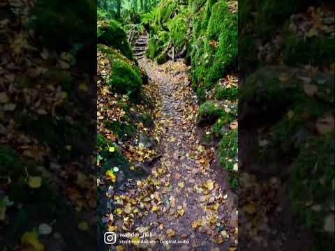
One of the oldest forest in UK that you must visit ! 🧚🌲 #outdoors #travel #adventures #puzzlewood

Puzzlewood is an ancient woodland located in the Forest of Dean, Gloucestershire, UK. It is renowned for its otherworldly and ...

THE MAGICAL WOODLANDS OF PUZZLEWOOD || ENGLAND TRAVEL VLOG #magical #forestofdean #travelwithme

A great place for a walk through an enchanted woodland in the Forest of Dean - used as a filming set for Star Wars, The Huntsman ...

Go get it! 😉

puzzlewoodfod #travel #europe #adventures #travelphotography #solotravel #goexplore #wonderfulplaces #travelbug ...

Did you knew that you can find jungle in UK ??😮 #nature #jungle #hiddengems

Did you knew that you can find jungle in UK ?? Puzzlewood is an ancient woodland site and tourist attraction, near Coleford in the ...

Nearby Amenities

Located within 500m of 51.752017,-2.5905281
Bream Meend
Is In: Gloucestershire, England, UK
Place: hamlet
Source: NPE
Lat/Long: 51.7503753/-2.5843186
Horwell Hill
Place: locality
Source: OS_OpenData_StreetView
Lat/Long: 51.7530185/-2.5873131
Power: pole
Lat/Long: 51.75226/-2.5845337
Power: pole
Lat/Long: 51.751541/-2.5857286
Power: pole
Lat/Long: 51.7499112/-2.5854698
Power: pole
Lat/Long: 51.7497784/-2.586709
Power: pole
Lat/Long: 51.7487239/-2.5871046
Power: pole
Lat/Long: 51.7479543/-2.5874385
Power: pole
Lat/Long: 51.7497302/-2.5872414
Power: pole
Lat/Long: 51.7506518/-2.5871354
Power: pole
Lat/Long: 51.7512114/-2.5863107
Power: pole
Lat/Long: 51.7497095/-2.5870523
Power: pole
Lat/Long: 51.7506319/-2.5870147
Power: pole
Lat/Long: 51.7514688/-2.5856428
Power: pole
Lat/Long: 51.7523273/-2.584236
The data included in this document is from www.openstreetmap.org. The data is made available under ODbL.

Have you been to Horwell Hill?

Leave your review of Horwell Hill below (or comments, questions and feedback).