Wellington Covert

Wood, Forest in Shropshire

England

Wellington Covert

Burleydam beech A fine specimen by the A525 opposite the Combermere Arms.
Burleydam beech Credit: Jonathan Billinger

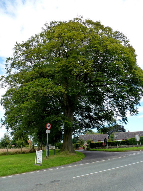
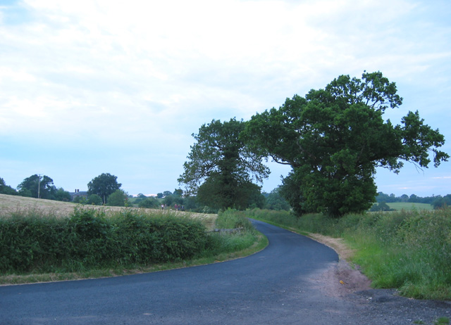
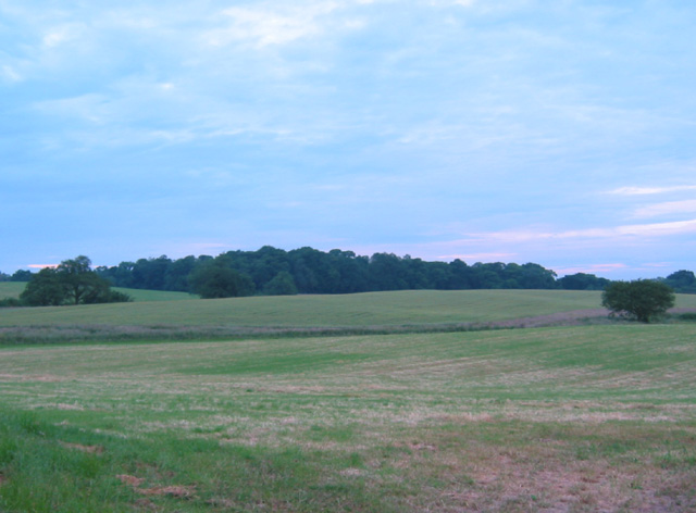
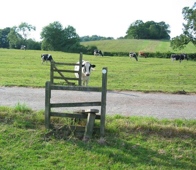
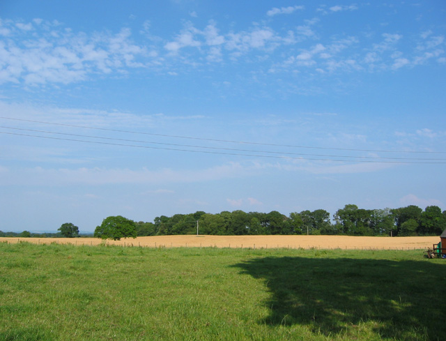
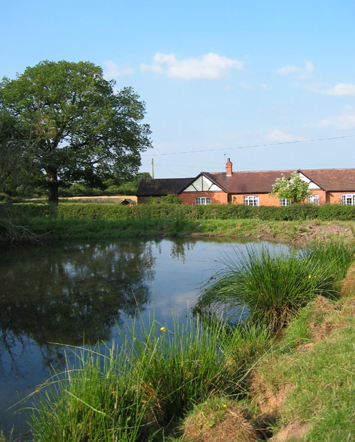
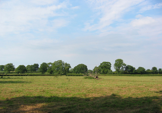
Wellington Covert, located in Shropshire, England, is a small but significant woodland area known for its natural beauty and rich history. Covering an approximate area of 200 acres, the covert is situated near the town of Wellington, providing an easily accessible escape into nature for locals and visitors alike.

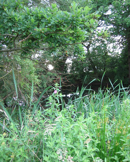
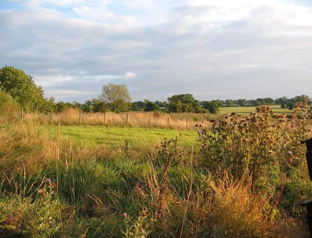
The woodland is predominantly composed of various types of deciduous trees, including oak, beech, and ash. These trees create a dense canopy, allowing only dappled sunlight to filter through, creating a tranquil and serene atmosphere. The forest floor is adorned with a lush carpet of wildflowers and ferns, adding to the area's charm.

Wellington Covert has a long history, with records dating back to the 13th century. It was originally part of the wider Wrekin Forest, which was managed by local authorities for hunting and timber production. Today, the woodland is managed by the Shropshire Wildlife Trust, ensuring its conservation and protection for future generations.

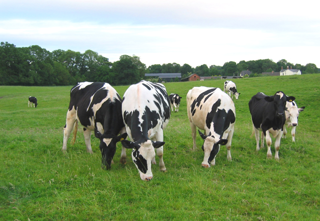
The covert is home to a diverse range of wildlife, including deer, badgers, foxes, and a variety of bird species. Nature enthusiasts can explore the area through a network of well-maintained footpaths, allowing them to observe and appreciate the flora and fauna in their natural habitat.

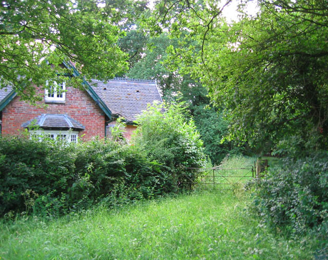
Visitors to Wellington Covert can enjoy a peaceful walk amongst the trees, immersing themselves in the serenity of nature. The woodland also offers opportunities for picnics, photography, and even educational activities, as the Shropshire Wildlife Trust organizes events and workshops to promote environmental awareness and understanding.

In conclusion, Wellington Covert is a picturesque woodland in Shropshire, England, offering a tranquil retreat and the chance to connect with nature. With its diverse flora and fauna, rich history, and well-maintained footpaths, it is a haven for both wildlife enthusiasts and those seeking a peaceful escape from the hustle and bustle of everyday life.

If you have any feedback on the listing, please let us know in the comments section below.

Wellington Covert Images

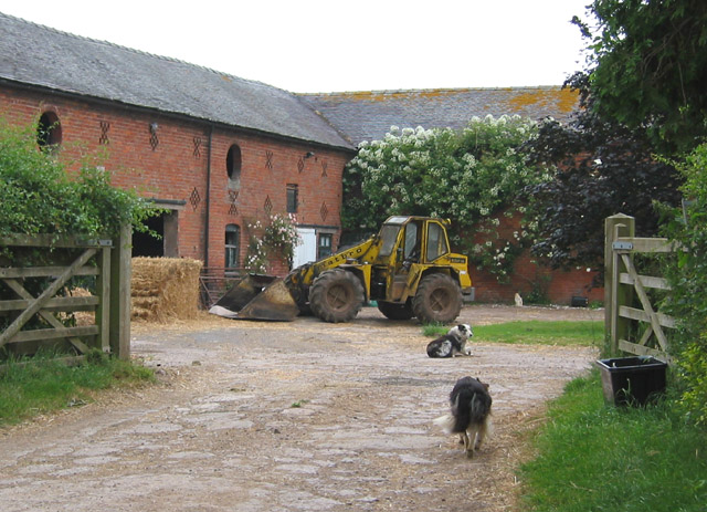
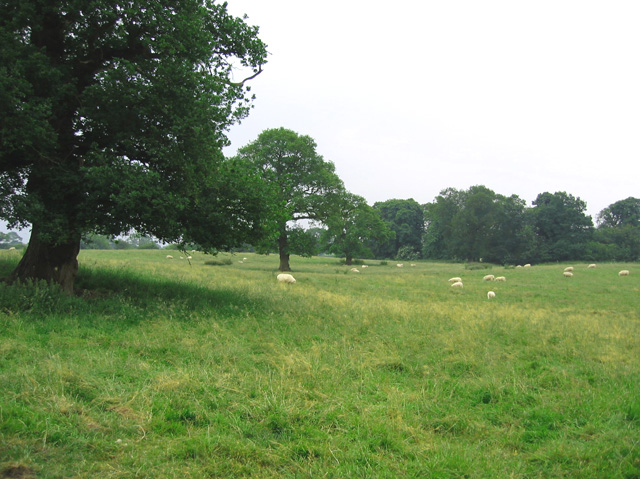
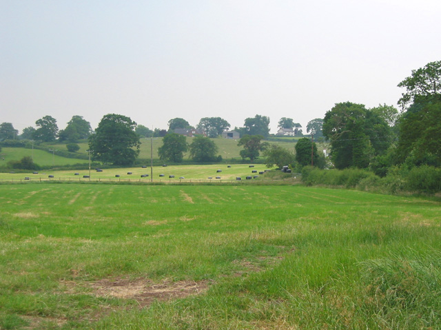
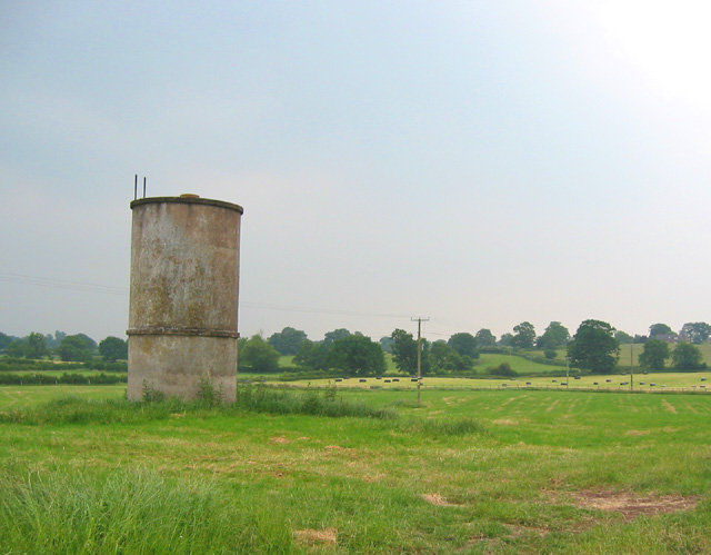
Images are sourced within 2km of 52.986051/-2.6091467 or Grid Reference SJ5943. Thanks to Geograph Open Source API. All images are credited.

Burleydam beech A fine specimen by the A525 opposite the Combermere Arms.
Burleydam beech
A fine specimen by the A525 opposite the Combermere Arms.
The Combermere Arms, Burleydam By the A525 Whitchurch Road.
The Combermere Arms, Burleydam
By the A525 Whitchurch Road.
A5015, Goldsmith Lane Taken from its southern junction with the A525 Whitchurch Road, looking north towards its intersection with the A530 Nantwich Road (just out of sight around the bend), only 250m away.
Is this the shortest A Road in the UK?
A5015, Goldsmith Lane
Taken from its southern junction with the A525 Whitchurch Road, looking north towards its intersection with the A530 Nantwich Road (just out of sight around the bend), only 250m away. Is this the shortest A Road in the UK?
Entrance gates to Combermere Abbey Combermere Abbey is only open for Abbey tours on Thursday afternoons at 12.00, 2.00 and 4.00pm between April 6th and September 28th
Entrance gates to Combermere Abbey
Combermere Abbey is only open for Abbey tours on Thursday afternoons at 12.00, 2.00 and 4.00pm between April 6th and September 28th
Lane near Blackpark Farm One of the lanes from Whitchurch to Wrenbury. The lane takes a 90 degree turn north round a field boundary at this point, and a bridleway continues the line of the road eastwards (out of view on right) towards Steel's Rough Plantation. This particular lane has recently been resurfaced, making a change from the potholes of the surrounding lanes. The building whose chimneys are visible on the left is Blackpark Farm, the only habitation in this gridsquare
Lane near Blackpark Farm
One of the lanes from Whitchurch to Wrenbury. The lane takes a 90 degree turn north round a field boundary at this point, and a bridleway continues the line of the road eastwards (out of view on right) towards Steel's Rough Plantation. This particular lane has recently been resurfaced, making a change from the potholes of the surrounding lanes. The building whose chimneys are visible on the left is Blackpark Farm, the only habitation in this gridsquare
View towards Larder Wood The east side of the Whitchurch to Wrenbury road is predominantly undulating pasture land. This shows the view towards Larder Wood from the road just north of Blackpark Farm
View towards Larder Wood
The east side of the Whitchurch to Wrenbury road is predominantly undulating pasture land. This shows the view towards Larder Wood from the road just north of Blackpark Farm
Gate into Steel's Rough Plantation Several public footpaths run through Steel's Rough plantation, on the edge of Combermere Park. The plantation is an attractive mixture of existing oaks and newer conifer plantation. The house shown may have once been a gatehouse to Combermere Park
Gate into Steel's Rough Plantation
Several public footpaths run through Steel's Rough plantation, on the edge of Combermere Park. The plantation is an attractive mixture of existing oaks and newer conifer plantation. The house shown may have once been a gatehouse to Combermere Park
Cows by Steel's Rough Plantation The trees on the left form the south-west edge of Steel's Rough Plantation. The farm in the distance is Shropshire Gate Farm
Cows by Steel's Rough Plantation
The trees on the left form the south-west edge of Steel's Rough Plantation. The farm in the distance is Shropshire Gate Farm
Sheep dogs at Wood Farm Brick barns with circular windows and crosses and lozenges for ventilation are typical of this area
Sheep dogs at Wood Farm
Brick barns with circular windows and crosses and lozenges for ventilation are typical of this area
Tree-studded pasture Gently undulating sheep pasture near Shropshire Gate Farm. The trees in the distance are the small unnamed wood immediately south of the farm
Tree-studded pasture
Gently undulating sheep pasture near Shropshire Gate Farm. The trees in the distance are the small unnamed wood immediately south of the farm
Fields at Martin's Ash View south from the T-junction across rolling pasture and hay fields. A small tower of unknown purpose stands just to the left of frame
Fields at Martin's Ash
View south from the T-junction across rolling pasture and hay fields. A small tower of unknown purpose stands just to the left of frame
Tower at Martin's Ash A small circular concrete tower, of unknown purpose, stands by the T-junction at Martin's Ash
Tower at Martin's Ash
A small circular concrete tower, of unknown purpose, stands by the T-junction at Martin's Ash
Mere near Fir Tree Farm Tiny mere at the south-east end of a small wood on top of a rise (100m elevation) north of Fir Tree Farm. A common feature in this locality
Mere near Fir Tree Farm
Tiny mere at the south-east end of a small wood on top of a rise (100m elevation) north of Fir Tree Farm. A common feature in this locality
Stiles at Fir Tree Farm This area is predominantly cattle pasture. View where the footpath crosses the track to Fir Tree Farm. The trees on the rise on the horizon (right) hide a small mere
Stiles at Fir Tree Farm
This area is predominantly cattle pasture. View where the footpath crosses the track to Fir Tree Farm. The trees on the rise on the horizon (right) hide a small mere
Long Wood across the fields View eastwards from the lane towards Long Wood. The distant field is barley
Long Wood across the fields
View eastwards from the lane towards Long Wood. The distant field is barley
Reflections in mere Small mere near the lane, by track to The Springs
Reflections in mere
Small mere near the lane, by track to The Springs
Pastureland at New Woodhouses View northwards across flat pastureland near The Green, from the lane to Bank Farm
Pastureland at New Woodhouses
View northwards across flat pastureland near The Green, from the lane to Bank Farm
Evening sun on pasture, near Ivy Farm View from Church Lane, just north of Ivy Farm. The peaceful scene is spoiled by road noise from the nearby A525
Evening sun on pasture, near Ivy Farm
View from Church Lane, just north of Ivy Farm. The peaceful scene is spoiled by road noise from the nearby A525
Show me another place!

Wellington Covert is located at Grid Ref: SJ5943 (Lat: 52.986051, Lng: -2.6091467)

Unitary Authority: Shropshire

Police Authority: West Mercia

What 3 Words

///upset.velocity.horseshoe. Near Ash, Shropshire

Related Wikis

Combermere Abbey

Combermere Abbey is a former monastery, later a country house, near Burleydam, between Nantwich, Cheshire and Whitchurch in Shropshire, England, located...

Brankelow Cottage

Brankelow Cottage, also known as Brankelow Folly and Brankelow House, is a folly on the Combermere Abbey estate, in Cheshire, England. It is listed at...

Burleydam

Burleydam is a small English village in the civil parish of Dodcott cum Wilkesley in the unitary authority of Cheshire East and the ceremonial county of...

St Mary's and St Michael's Church, Burleydam

St Mary's and St Michael's Church is in the village of Burleydam in the civil parish of Dodcott cum Wilkesley, Cheshire, England. The church is some 1...

Dodd's Green

Dodd's Green (also Dod's Green, Dodds Green and Doddsgreen) is a small settlement within the civil parish of Newhall in the Cheshire East division of the...

Salesbrook

Salesbrook (sometimes written 'Sales Brook' or archaically 'Sailsbrook'. Occasionally referred to by the Welsh version of the name Nant Acsiynau) is a...

Newhall, Cheshire

Newhall is a village (at SJ609454) and civil parish in the unitary authority of Cheshire East and the ceremonial county of Cheshire, England. The village...

Dodcott cum Wilkesley

Dodcott cum Wilkesley is a civil parish in the unitary authority of Cheshire East and the ceremonial county of Cheshire, England. The hamlet of Wilkesley...

Have you been to Wellington Covert?

Leave your review of Wellington Covert below (or comments, questions and feedback).