Square Covert
Wood, Forest in Gloucestershire
England
Square Covert
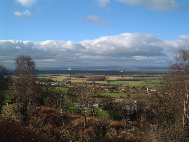
Square Covert is a small woodland area located in Gloucestershire, England. Situated within the larger Forest of Dean, it covers an approximate area of 10 acres. The woodland is characterized by its dense and mature trees, predominantly consisting of oak, beech, and ash species.
The forest floor is covered with a thick layer of leaf litter, creating a natural carpet of decaying foliage. This provides an ideal habitat for a variety of woodland species, including small mammals, such as squirrels and voles, as well as numerous bird species, such as woodpeckers and owls.
Square Covert is known for its tranquil and secluded atmosphere, making it a popular destination for nature lovers and walkers seeking a peaceful retreat in the heart of the forest. The woodland offers a network of well-maintained footpaths and trails, allowing visitors to explore its beauty and observe the diverse flora and fauna.
In addition to its natural beauty, Square Covert also holds historical significance. It is believed to have been part of a larger ancient woodland that dates back hundreds of years. The area has likely witnessed significant changes in land use over time, from timber production to recreational purposes.
Overall, Square Covert in Gloucestershire is a charming woodland area within the Forest of Dean, offering a peaceful haven for nature enthusiasts and a glimpse into the region's rich natural and historical heritage.
If you have any feedback on the listing, please let us know in the comments section below.
Square Covert Images
Images are sourced within 2km of 51.556737/-2.5898842 or Grid Reference ST5984. Thanks to Geograph Open Source API. All images are credited.


Square Covert is located at Grid Ref: ST5984 (Lat: 51.556737, Lng: -2.5898842)
Unitary Authority: South Gloucestershire
Police Authority: Avon and Somerset
What 3 Words
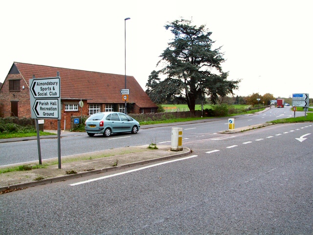
///quibble.huts.slim. Near Almondsbury, Gloucestershire
Nearby Locations
Related Wikis
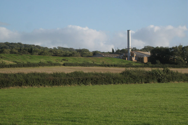
Cattybrook Brickpit
Cattybrook Brickpit is a 2.2-hectare (5.4-acre) geological Site of Special Scientific Interest near the village of Almondsbury, South Gloucestershire,...

Almondsbury
Almondsbury (English: ) is a large village near junction 16 of the M5 motorway, in South Gloucestershire, England, and a civil parish which also includes...
Awkley
Awkley is a hamlet in the parish of Olveston in South Gloucestershire, England. It lies just off the M4 and M48 junctions. Several streams run in the area...

Roman Glass St George F.C.
Roman Glass St George Football Club is a football club based in the Bristol suburb of St George, Bristol, England. Founded in 1872, they are the oldest...
Nearby Amenities
Located within 500m of 51.556737,-2.5898842Have you been to Square Covert?
Leave your review of Square Covert below (or comments, questions and feedback).