Stonelodge Wood

Wood, Forest in Cheshire

England

Stonelodge Wood

Burleydam beech A fine specimen by the A525 opposite the Combermere Arms.
Burleydam beech Credit: Jonathan Billinger

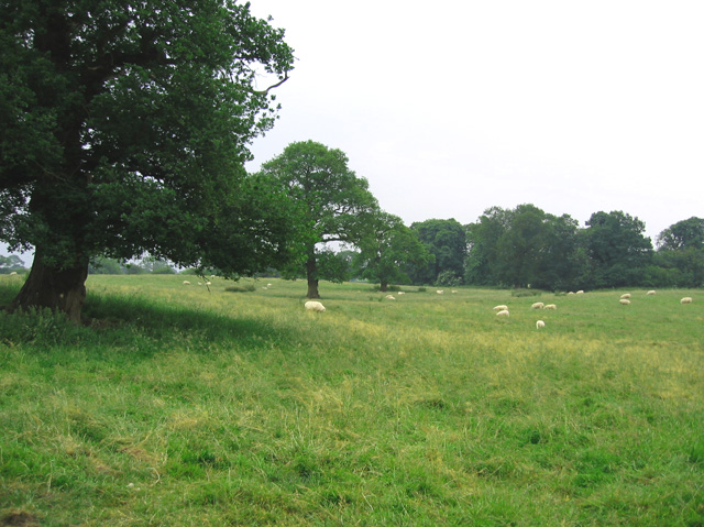
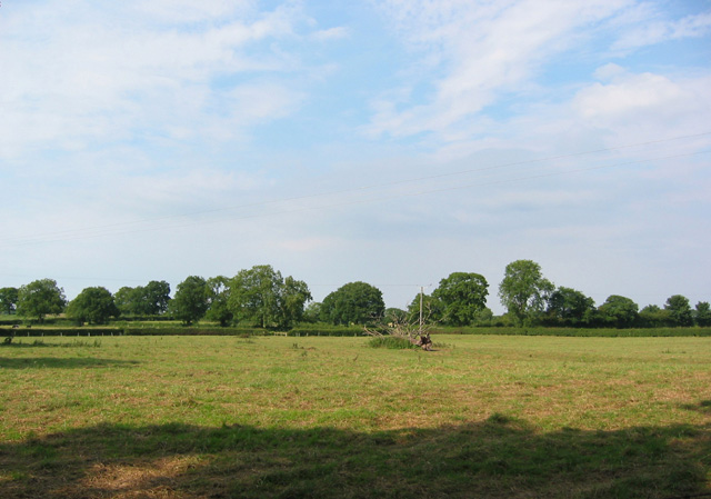
Stonelodge Wood is a picturesque forest located in the county of Cheshire, England. This enchanting woodland covers an area of approximately 50 acres and is a popular destination for nature lovers and outdoor enthusiasts alike.

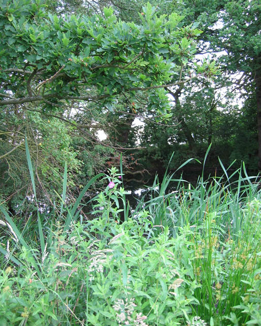
The wood is characterized by its diverse range of tree species, including oak, beech, birch, and pine, which create a rich and vibrant canopy. The forest floor is adorned with a plethora of wildflowers, ferns, and mosses, adding to its beauty and ecological significance. Additionally, the woodland is home to a variety of wildlife, including deer, squirrels, foxes, and a wide array of bird species, making it a haven for animal enthusiasts and birdwatchers.

Stonelodge Wood provides visitors with various recreational activities and amenities. There are well-maintained paths and trails that wind through the forest, allowing visitors to explore and immerse themselves in the natural surroundings. The wood also features picnic areas and seating spots, providing perfect opportunities for visitors to relax and enjoy a tranquil day amidst nature.

The forest is managed by the local authorities, who ensure its preservation and conservation. It is open to the public throughout the year, offering a peaceful retreat from the hustle and bustle of everyday life. Stonelodge Wood is easily accessible, with ample parking facilities and nearby public transport options.

Overall, Stonelodge Wood is a serene and captivating woodland that offers a unique opportunity to connect with nature. Its stunning landscapes, diverse flora and fauna, and recreational facilities make it a must-visit destination for nature enthusiasts and those seeking a peaceful escape in Cheshire.

If you have any feedback on the listing, please let us know in the comments section below.

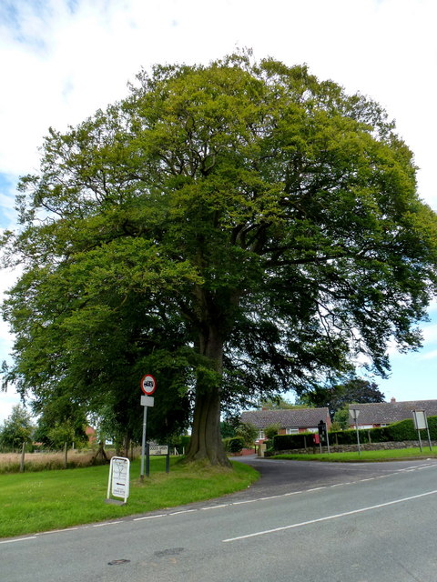
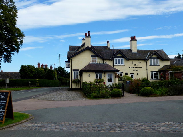
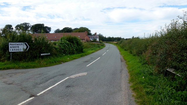
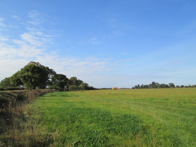
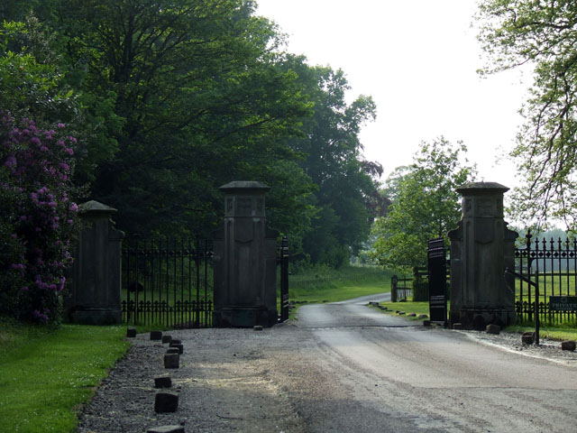
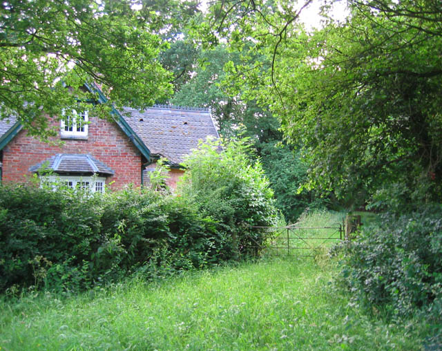
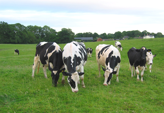
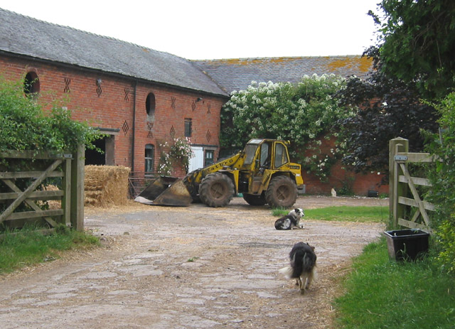
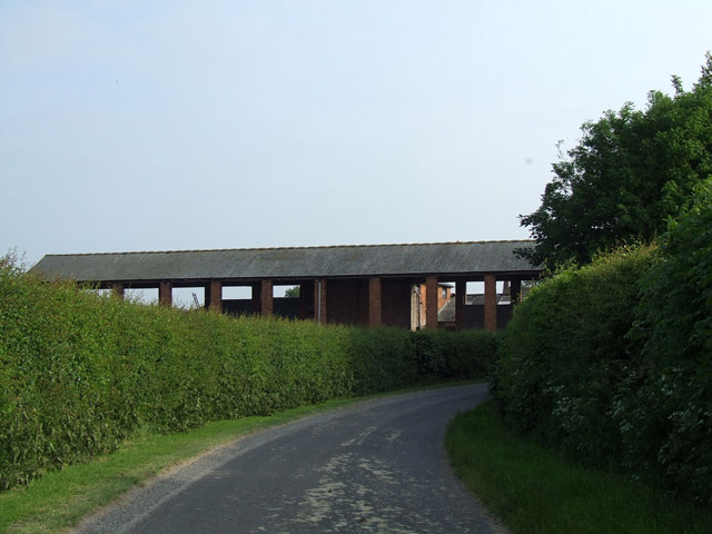
Stonelodge Wood Images

Images are sourced within 2km of 52.986748/-2.6009786 or Grid Reference SJ5943. Thanks to Geograph Open Source API. All images are credited.

Burleydam beech A fine specimen by the A525 opposite the Combermere Arms.
Burleydam beech
A fine specimen by the A525 opposite the Combermere Arms.
The Combermere Arms, Burleydam By the A525 Whitchurch Road.
The Combermere Arms, Burleydam
By the A525 Whitchurch Road.
A5015, Goldsmith Lane Taken from its southern junction with the A525 Whitchurch Road, looking north towards its intersection with the A530 Nantwich Road (just out of sight around the bend), only 250m away.
Is this the shortest A Road in the UK?
A5015, Goldsmith Lane
Taken from its southern junction with the A525 Whitchurch Road, looking north towards its intersection with the A530 Nantwich Road (just out of sight around the bend), only 250m away. Is this the shortest A Road in the UK?
Field near Burleydam By the road between Audlem and Whitchurch. In the distance, agricultural equipment has been left in the field.
Field near Burleydam
By the road between Audlem and Whitchurch. In the distance, agricultural equipment has been left in the field.
Entrance gates to Combermere Abbey Combermere Abbey is only open for Abbey tours on Thursday afternoons at 12.00, 2.00 and 4.00pm between April 6th and September 28th
Entrance gates to Combermere Abbey
Combermere Abbey is only open for Abbey tours on Thursday afternoons at 12.00, 2.00 and 4.00pm between April 6th and September 28th
Gate into Steel's Rough Plantation Several public footpaths run through Steel's Rough plantation, on the edge of Combermere Park. The plantation is an attractive mixture of existing oaks and newer conifer plantation. The house shown may have once been a gatehouse to Combermere Park
Gate into Steel's Rough Plantation
Several public footpaths run through Steel's Rough plantation, on the edge of Combermere Park. The plantation is an attractive mixture of existing oaks and newer conifer plantation. The house shown may have once been a gatehouse to Combermere Park
Cows by Steel's Rough Plantation The trees on the left form the south-west edge of Steel's Rough Plantation. The farm in the distance is Shropshire Gate Farm
Cows by Steel's Rough Plantation
The trees on the left form the south-west edge of Steel's Rough Plantation. The farm in the distance is Shropshire Gate Farm
Sheep dogs at Wood Farm Brick barns with circular windows and crosses and lozenges for ventilation are typical of this area
Sheep dogs at Wood Farm
Brick barns with circular windows and crosses and lozenges for ventilation are typical of this area
Tree-studded pasture Gently undulating sheep pasture near Shropshire Gate Farm. The trees in the distance are the small unnamed wood immediately south of the farm
Tree-studded pasture
Gently undulating sheep pasture near Shropshire Gate Farm. The trees in the distance are the small unnamed wood immediately south of the farm
Mere near Fir Tree Farm Tiny mere at the south-east end of a small wood on top of a rise (100m elevation) north of Fir Tree Farm. A common feature in this locality
Mere near Fir Tree Farm
Tiny mere at the south-east end of a small wood on top of a rise (100m elevation) north of Fir Tree Farm. A common feature in this locality
Pastureland at New Woodhouses View northwards across flat pastureland near The Green, from the lane to Bank Farm
Pastureland at New Woodhouses
View northwards across flat pastureland near The Green, from the lane to Bank Farm
Combermere Park Rolling parkland with many broadleaved trees. View from the private road to Combermere Abbey.
Combermere Park
Rolling parkland with many broadleaved trees. View from the private road to Combermere Abbey.
Comber Mere, by Combermere Abbey A large natural lake in Combermere Park, supposedly glacial in origin. The lake is a Site of Special Scientific Interest <span class="nowrap"><a title="http://www.english-nature.org.uk/citation/citation_photo/1002472.pdf" rel="nofollow ugc noopener" href="http://www.english-nature.org.uk/citation/citation_photo/1002472.pdf">Link</a><img style="margin-left:2px;" alt="External link" title="External link - shift click to open in new window" src="https://s1.geograph.org.uk/img/external.png" width="10" height="10"/></span>  View from by the Abbot's House of Combermere Abbey
Comber Mere, by Combermere Abbey
A large natural lake in Combermere Park, supposedly glacial in origin. The lake is a Site of Special Scientific Interest LinkExternal link View from by the Abbot's House of Combermere Abbey
Abbot's House, Combermere Abbey The stone-faced building on the left is the original Abbot's House of the Cistercian abbey. The timber building with hammerbeam roof dates from around 1500 and is grade I listed; the stone facing and Gothic ornamentation were added by Sir Stapleton Cotton (later Viscount Combermere) in 1814-20. The building is currently privately owned; public tours are available on Thursdays from April-September. Further information at Images of England: <span class="nowrap"><a title="http://www.imagesofengland.org.uk/search/details.aspx?id=57046" rel="nofollow ugc noopener" href="http://www.imagesofengland.org.uk/search/details.aspx?id=57046">Link</a><img style="margin-left:2px;" alt="External link" title="External link - shift click to open in new window" src="https://s1.geograph.org.uk/img/external.png" width="10" height="10"/></span>
Abbot's House, Combermere Abbey
The stone-faced building on the left is the original Abbot's House of the Cistercian abbey. The timber building with hammerbeam roof dates from around 1500 and is grade I listed; the stone facing and Gothic ornamentation were added by Sir Stapleton Cotton (later Viscount Combermere) in 1814-20. The building is currently privately owned; public tours are available on Thursdays from April-September. Further information at Images of England: LinkExternal link
Clocktower, Combermere Abbey Adjacent to the main abbey buildings. The rooves in mid-frame form part of a derelict game hang
Clocktower, Combermere Abbey
Adjacent to the main abbey buildings. The rooves in mid-frame form part of a derelict game hang
View towards Combermere Abbey cottages Former stable block of Combermere Abbey; the Tudor-style buildings date from 1837 and have recently been converted into 11 holiday cottages. View from the east side of the abbey
View towards Combermere Abbey cottages
Former stable block of Combermere Abbey; the Tudor-style buildings date from 1837 and have recently been converted into 11 holiday cottages. View from the east side of the abbey
Marshland adjacent to Cocked Hat View from the private road to Combermere Abbey. Cocked Hat mere is invisible from the road
Marshland adjacent to Cocked Hat
View from the private road to Combermere Abbey. Cocked Hat mere is invisible from the road
Maize field near Combermere Abbey
Show me another place!

Stonelodge Wood is located at Grid Ref: SJ5943 (Lat: 52.986748, Lng: -2.6009786)

Unitary Authority: Cheshire East

Police Authority: Cheshire

What 3 Words

///certainly.dare.taken. Near Ash, Shropshire

Related Wikis

Burleydam

Burleydam is a small English village in the civil parish of Dodcott cum Wilkesley in the unitary authority of Cheshire East and the ceremonial county of...

Combermere Abbey

Combermere Abbey is a former monastery, later a country house, near Burleydam, between Nantwich, Cheshire and Whitchurch in Shropshire, England, located...

St Mary's and St Michael's Church, Burleydam

St Mary's and St Michael's Church is in the village of Burleydam in the civil parish of Dodcott cum Wilkesley, Cheshire, England. The church is some 1...

Dodd's Green

Dodd's Green (also Dod's Green, Dodds Green and Doddsgreen) is a small settlement within the civil parish of Newhall in the Cheshire East division of the...

Brankelow Cottage

Brankelow Cottage, also known as Brankelow Folly and Brankelow House, is a folly on the Combermere Abbey estate, in Cheshire, England. It is listed at...

Salesbrook

Salesbrook (sometimes written 'Sales Brook' or archaically 'Sailsbrook'. Occasionally referred to by the Welsh version of the name Nant Acsiynau) is a...

Dodcott cum Wilkesley

Dodcott cum Wilkesley is a civil parish in the unitary authority of Cheshire East and the ceremonial county of Cheshire, England. The hamlet of Wilkesley...

Newhall, Cheshire

Newhall is a village (at SJ609454) and civil parish in the unitary authority of Cheshire East and the ceremonial county of Cheshire, England. The village...

Nearby Amenities

Located within 500m of 52.986748,-2.6009786
Bus Stop
Combermere Park, Whitchurch Road / Lodge Gates
Bus: yes
Naptan AtcoCode: 0600CR1022
Naptan Bearing: N
Naptan BusStopType: CUS
Naptan CommonName: Lodge Gates
Naptan Indicator: o/s
Naptan Landmark: Combermere Lodge
Naptan LocalityName: Combermere Park
Naptan NaptanCode: chepjgp
Naptan ShortCommonName: Lodge Gates
Naptan Street: Whitchurch Road
Naptan Verified: no
Network: Cheshire East Council
Operator: Ansa Transport
Public Transport: platform
Source: naptan_import
Lat/Long: 52.9866813/-2.5981311
Give Way
Direction: forward
Lat/Long: 52.984489/-2.5954006
Give Way
Direction: backward
Lat/Long: 52.9864749/-2.5978965
Give Way
Direction: backward
Lat/Long: 52.9847486/-2.5975518
The data included in this document is from www.openstreetmap.org. The data is made available under ODbL.

Have you been to Stonelodge Wood?

Leave your review of Stonelodge Wood below (or comments, questions and feedback).