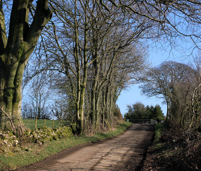
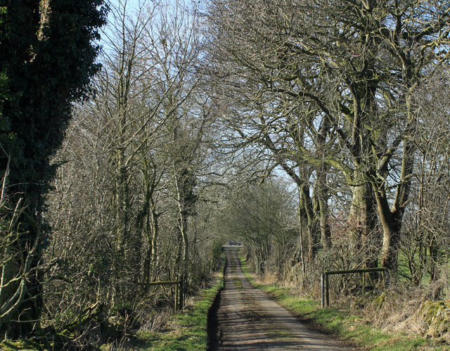
Valley Wood
Wood, Forest in Somerset Mendip
England
Valley Wood

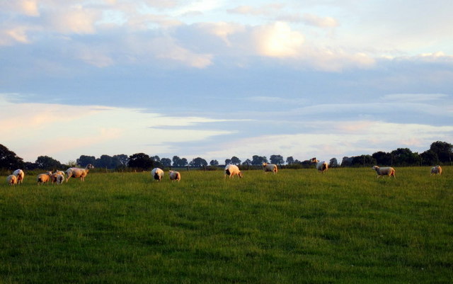
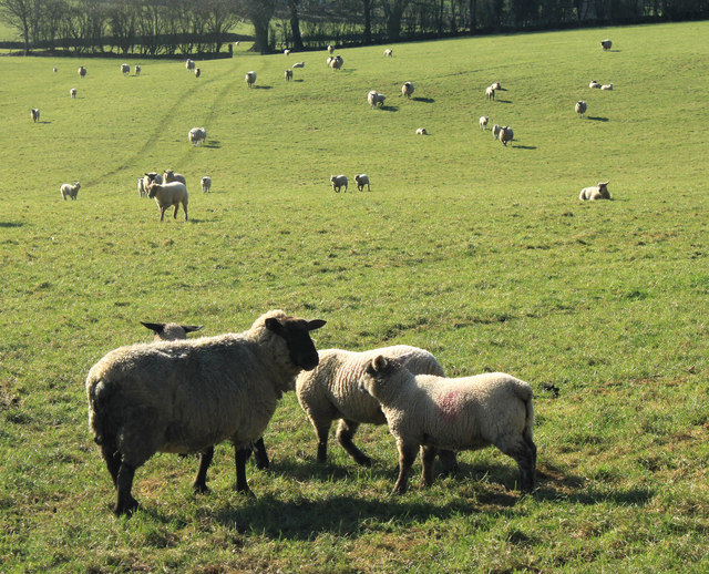
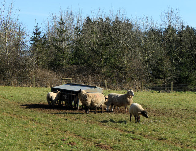
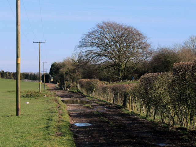
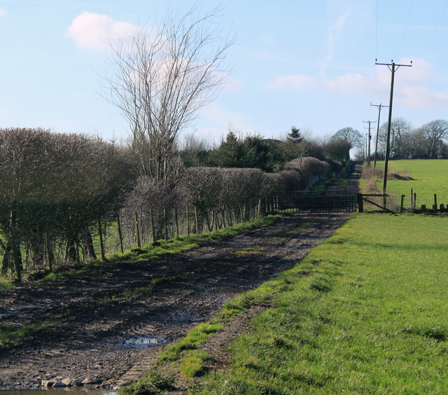
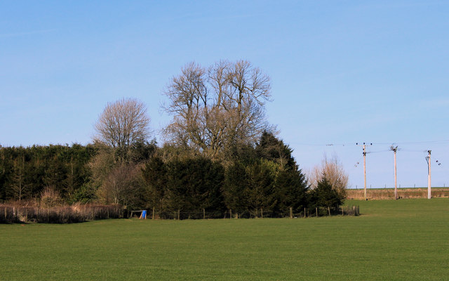
Valley Wood is a charming forest located in the picturesque county of Somerset, England. Situated in the heart of the Mendip Hills, this woodland area spans approximately 100 acres and is a haven for nature enthusiasts and outdoor adventurers.
The wood is predominantly composed of native broadleaf trees, including oak, beech, and ash, which create a lush and vibrant canopy throughout the year. The forest floor is covered with a diverse range of flora, such as bluebells, primroses, and wild garlic, adding to the beauty of the surroundings.
Valley Wood is not only a stunning natural setting but also offers a range of recreational activities for visitors. There are well-maintained trails that crisscross the forest, providing opportunities for walking, jogging, and cycling. Birdwatchers will be delighted by the abundance of avian species that call the wood their home, including woodpeckers, owls, and various songbirds.
For those seeking a deeper connection with nature, Valley Wood also offers designated camping areas where visitors can pitch their tents and spend a night under the stars. The tranquil atmosphere and absence of light pollution make it an ideal spot for stargazing.
In addition to its natural beauty, Valley Wood is committed to conservation and sustainability. The forest is managed by a team of knowledgeable professionals who work diligently to maintain the delicate ecosystem and protect the wildlife that inhabits it.
Overall, Valley Wood in Somerset is a stunning and well-preserved forest that offers visitors a chance to escape the hustle and bustle of everyday life and immerse themselves in the beauty of nature. Whether it's a leisurely stroll or an overnight camping trip, this woodland sanctuary provides an unforgettable experience for all who visit.
If you have any feedback on the listing, please let us know in the comments section below.
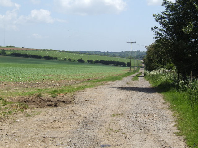
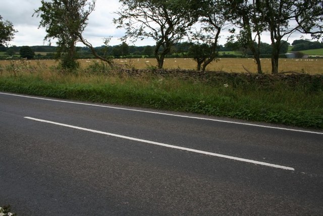
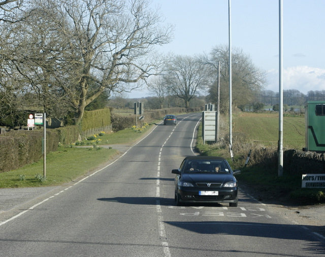
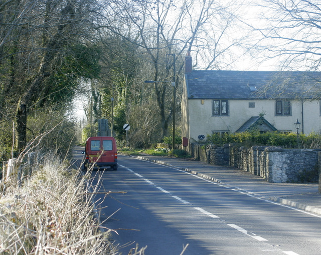
Valley Wood Images
Images are sourced within 2km of 51.242514/-2.6054088 or Grid Reference ST5749. Thanks to Geograph Open Source API. All images are credited.


Valley Wood is located at Grid Ref: ST5749 (Lat: 51.242514, Lng: -2.6054088)
Administrative County: Somerset
District: Mendip
Police Authority: Avon and Somerset
What 3 Words
///beeline.inherits.cornfield. Near Mendip, Somerset
Nearby Locations
Related Wikis
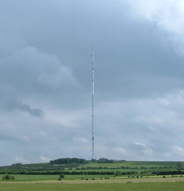
Mendip transmitting station
The Mendip transmitting station is a broadcasting and telecommunications facility on the summit of Pen Hill, part of the Mendip Hills range in Somerset...

Pen Hill
Pen Hill forms part of the Mendip Hills plateau in Somerset, England. The hill is located in St Cuthbert Out civil parish in Mendip district. The name...

Drove Cottage Henge
Drove Cottage Henge (sometimes called Hunter's Lodge Henge) is a scheduled monument in the Priddy parish of Somerset, England. It is located 370 metres...
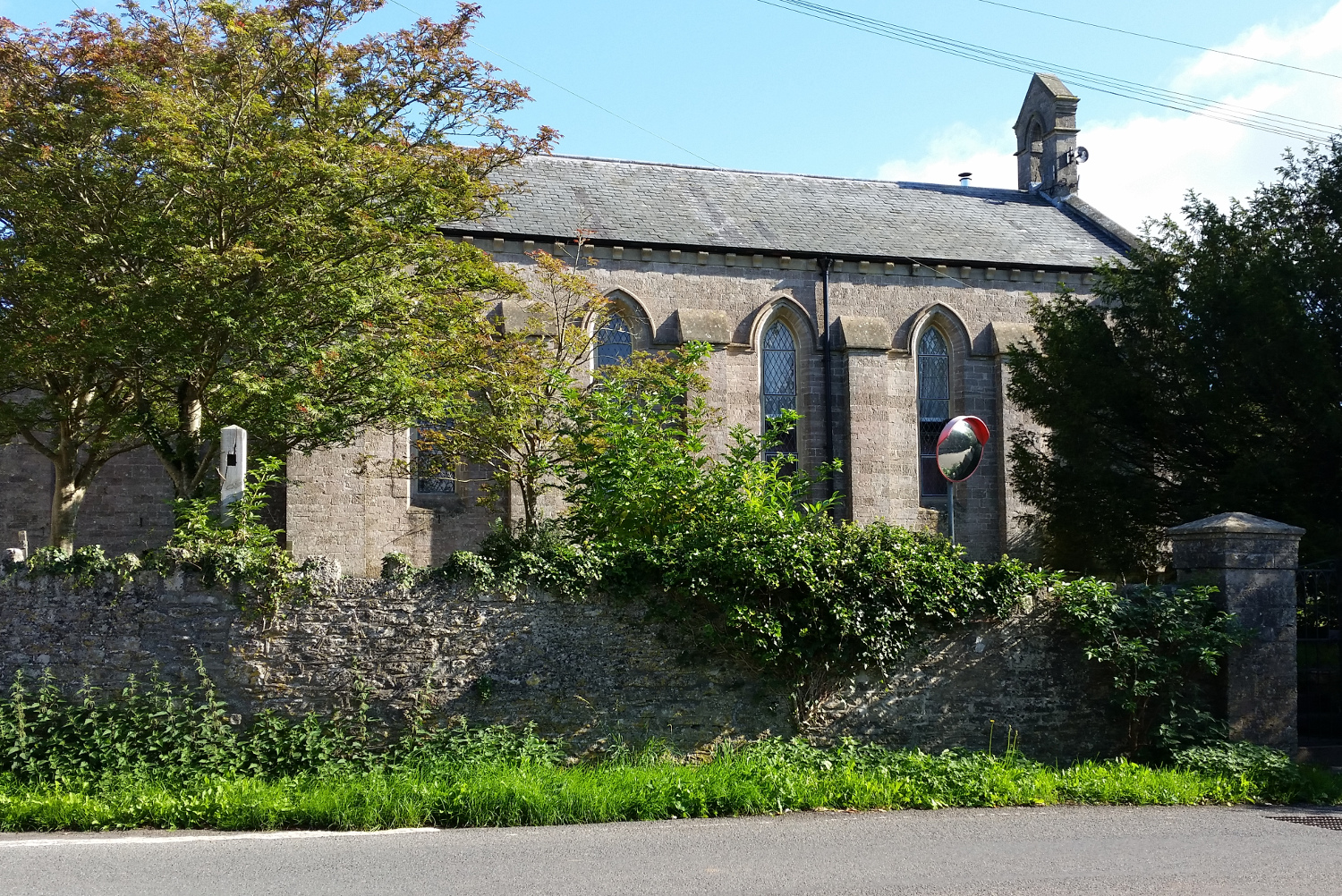
St John's Church, East Horrington
St John's Church is a former Church of England church in East Horrington, Somerset, England. It was built in 1838 to the designs of Richard Carver and...
Attborough Swallet
Attborough Swallet (also known as Red Quar Swallet) is a cave in Chewton Mendip in Somerset, England. It is unusual for a cave on the Mendip Hills in that...

Horrington
Horrington is a collection of three small villages (South Horrington, East Horrington and West Horrington) in the parish of St Cuthbert Out 1 mile (2 km...
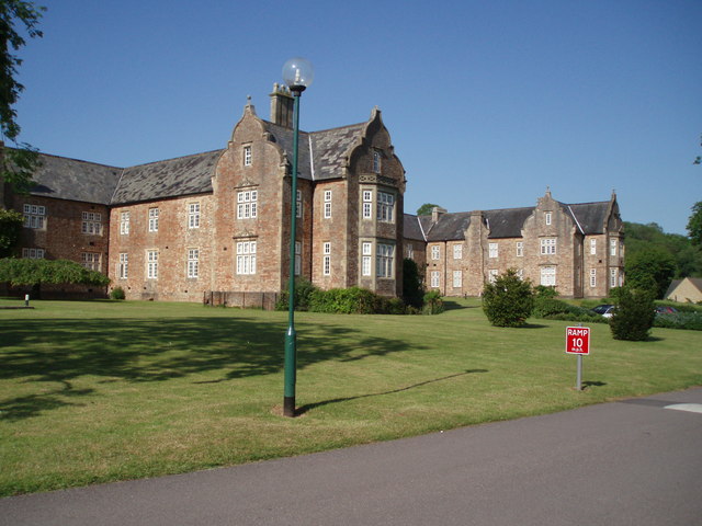
Mendip Hospital
Mendip Hospital opened in 1848 as the Somerset and Bath Pauper Lunatic Asylum at Horrington, near Wells, in the English county of Somerset. As a county...
Hunter's Hole
Hunter's Hole (or Hunters' Hole) is a cave in the Mendip Hills in Somerset, England. It is behind a pub, known as the Hunters Lodge Inn just outside Priddy...
Have you been to Valley Wood?
Leave your review of Valley Wood below (or comments, questions and feedback).