Jacklegs Plantation
Wood, Forest in Lancashire
England
Jacklegs Plantation

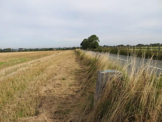
Jacklegs Plantation is a sprawling woodland located in Lancashire, England. Covering an area of approximately 500 acres, it is renowned for its diverse and dense forest, making it a popular destination for nature enthusiasts and outdoor adventurers.
The plantation is primarily composed of mixed deciduous and coniferous trees, including oak, beech, pine, and spruce, creating a picturesque and vibrant landscape throughout the year. The dense canopy provides shelter and habitat for a variety of wildlife, including deer, foxes, rabbits, and numerous bird species, making it an ideal location for birdwatching and wildlife spotting.
Visitors to Jacklegs Plantation can enjoy a network of well-maintained trails that wind through the woodland, offering opportunities for hiking, jogging, and cycling. The trails are of varying lengths and difficulty levels, catering to both casual walkers and more experienced outdoor enthusiasts. Along the way, visitors are treated to breathtaking views of the surrounding countryside and may encounter hidden ponds and streams that add to the enchanting atmosphere of the plantation.
The plantation is managed by the local forestry commission, ensuring the preservation of its natural beauty and ecological balance. Regular maintenance activities, such as tree thinning and replanting, are carried out to ensure the health and sustainability of the woodland ecosystem.
Jacklegs Plantation is a true haven for nature lovers, offering a tranquil escape from the bustling city life. Its rich biodiversity, stunning scenery, and well-maintained trails make it a must-visit destination for anyone seeking a peaceful and immersive experience in the heart of Lancashire's natural beauty.
If you have any feedback on the listing, please let us know in the comments section below.
Jacklegs Plantation Images
Images are sourced within 2km of 53.420089/-2.6358442 or Grid Reference SJ5791. Thanks to Geograph Open Source API. All images are credited.


Jacklegs Plantation is located at Grid Ref: SJ5791 (Lat: 53.420089, Lng: -2.6358442)
Unitary Authority: Warrington
Police Authority: Cheshire
What 3 Words
///haircuts.lilac.brings. Near Burtonwood, Cheshire
Nearby Locations
Related Wikis

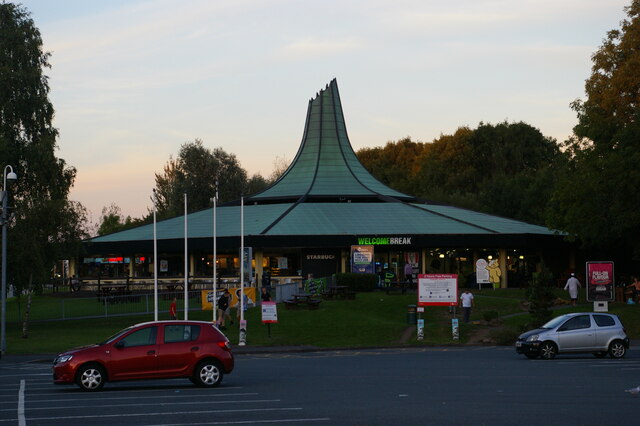
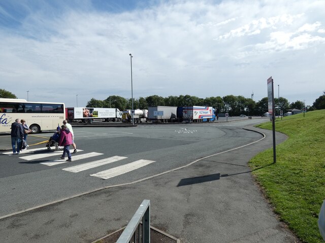
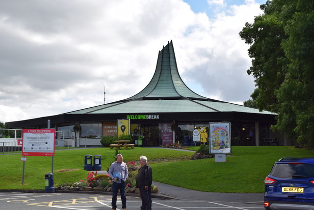
Burtonwood services
Burtonwood services is a motorway service station on the M62 in Cheshire, near Warrington in England. == History == The services originally opened in August...

Omega Development Site
Omega is a property development site in Warrington, Cheshire comprising 226 hectares straddling the M62 motorway. The site comprises a large part of the...
Winwick rail crash
The Winwick rail crash took place at Winwick Junction, near Warrington on the London, Midland and Scottish Railway, on 28 September 1934. Two trains collided...
Westbrook, Cheshire
Westbrook is a ward and suburb in north west Warrington, in the Warrington district, in the ceremonial county of Cheshire, England. Within the boundaries...
Nearby Amenities
Located within 500m of 53.420089,-2.6358442Have you been to Jacklegs Plantation?
Leave your review of Jacklegs Plantation below (or comments, questions and feedback).