Hill Grove
Wood, Forest in Somerset Mendip
England
Hill Grove

Hill Grove, Somerset, often referred to as Wood or Forest, is a picturesque village located in the county of Somerset, England. Nestled amidst lush greenery and rolling hills, it is a haven for nature lovers and those seeking a tranquil escape from the hustle and bustle of city life.
The village is characterized by its dense woodlands, offering a haven for wildlife and providing endless opportunities for outdoor activities such as hiking, birdwatching, and picnicking. The forest is home to a diverse range of flora and fauna, including ancient oak trees, wildflowers, and various species of birds and mammals.
Hill Grove is also known for its charming, traditional architecture. The village is dotted with quaint cottages and farmhouses, many of which date back several centuries. The local community takes great pride in preserving the village's historic charm, and as a result, it has managed to maintain a strong sense of identity and character.
Although a small village, Hill Grove boasts a close-knit community. Residents actively participate in various community events and initiatives, fostering a warm and welcoming atmosphere. The village also has a primary school, a village hall, and a local shop, providing essential amenities for its residents.
In summary, Hill Grove, Somerset (Wood, Forest) is a picturesque village nestled in the heart of Somerset's woodlands. With its natural beauty, historic charm, and strong sense of community, it is an idyllic destination for those seeking a peaceful retreat in the midst of nature.
If you have any feedback on the listing, please let us know in the comments section below.
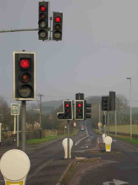
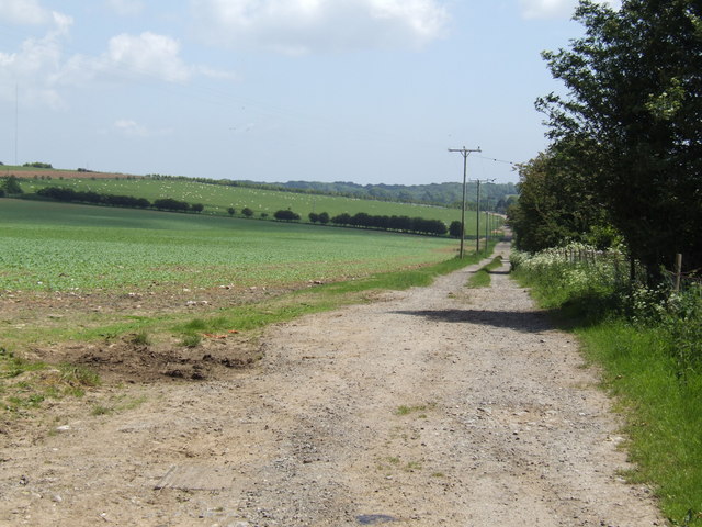
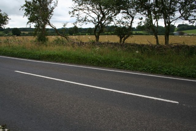
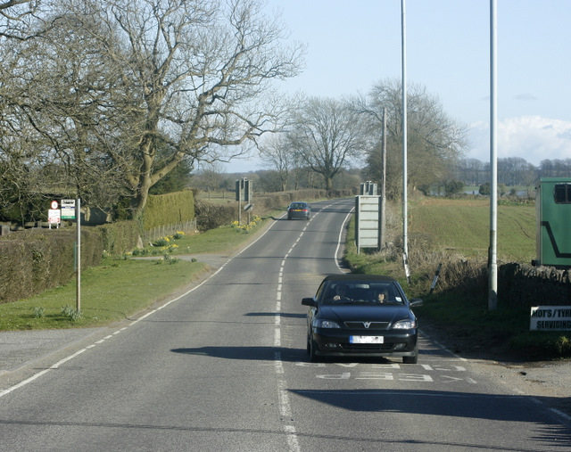
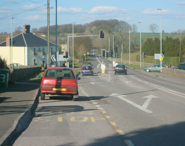
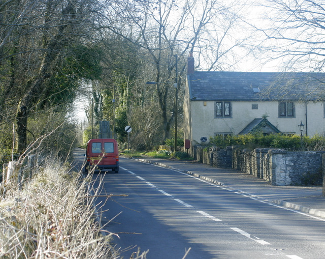
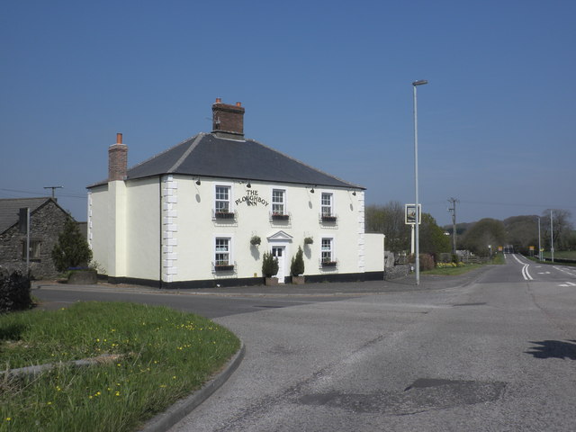
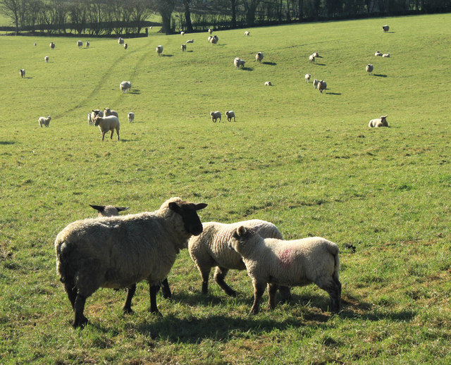
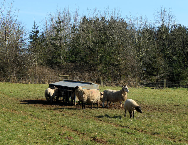
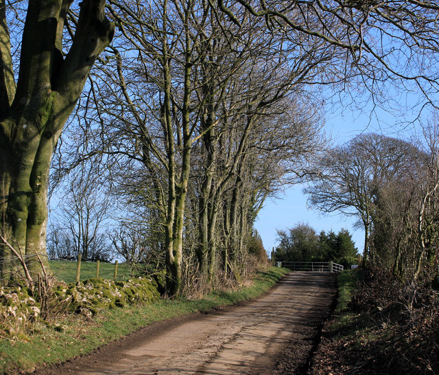
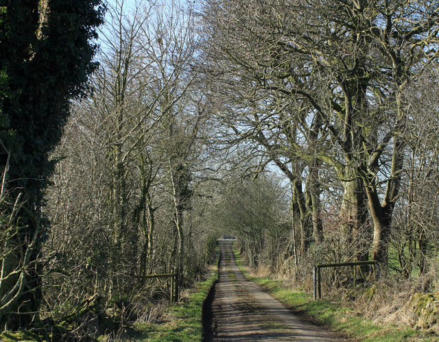
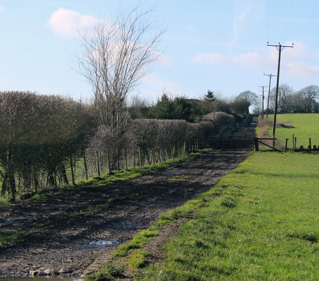
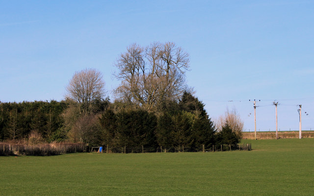
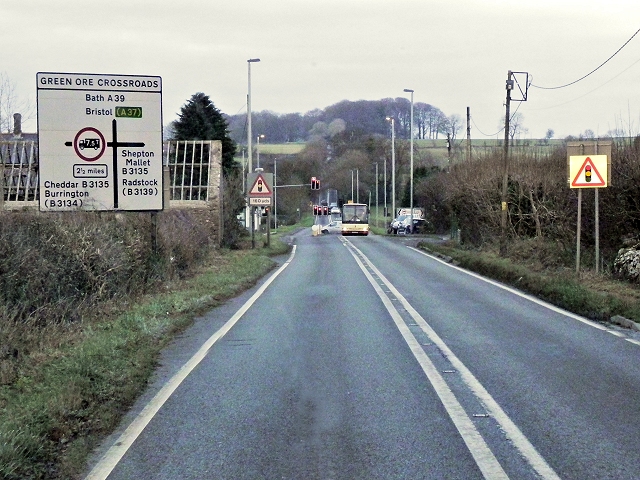
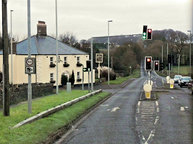
Hill Grove Images
Images are sourced within 2km of 51.242229/-2.6084421 or Grid Reference ST5749. Thanks to Geograph Open Source API. All images are credited.


Hill Grove is located at Grid Ref: ST5749 (Lat: 51.242229, Lng: -2.6084421)
Administrative County: Somerset
District: Mendip
Police Authority: Avon and Somerset
What 3 Words
///clinking.giraffes.before. Near Mendip, Somerset
Nearby Locations
Related Wikis
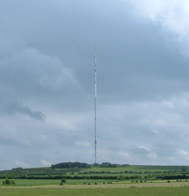
Mendip transmitting station
The Mendip transmitting station is a broadcasting and telecommunications facility on the summit of Pen Hill, part of the Mendip Hills range in Somerset...

Pen Hill
Pen Hill forms part of the Mendip Hills plateau in Somerset, England. The hill is located in St Cuthbert Out civil parish in Mendip district. The name...

Drove Cottage Henge
Drove Cottage Henge (sometimes called Hunter's Lodge Henge) is a scheduled monument in the Priddy parish of Somerset, England. It is located 370 metres...
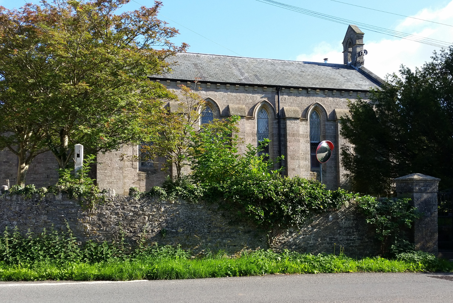
St John's Church, East Horrington
St John's Church is a former Church of England church in East Horrington, Somerset, England. It was built in 1838 to the designs of Richard Carver and...
Attborough Swallet
Attborough Swallet (also known as Red Quar Swallet) is a cave in Chewton Mendip in Somerset, England. It is unusual for a cave on the Mendip Hills in that...

Horrington
Horrington is a collection of three small villages (South Horrington, East Horrington and West Horrington) in the parish of St Cuthbert Out 1 mile (2 km...
Hunter's Hole
Hunter's Hole (or Hunters' Hole) is a cave in the Mendip Hills in Somerset, England. It is behind a pub, known as the Hunters Lodge Inn just outside Priddy...
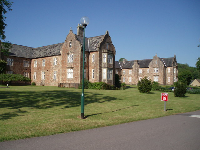
Mendip Hospital
Mendip Hospital opened in 1848 as the Somerset and Bath Pauper Lunatic Asylum at Horrington, near Wells, in the English county of Somerset. As a county...
Nearby Amenities
Located within 500m of 51.242229,-2.6084421Have you been to Hill Grove?
Leave your review of Hill Grove below (or comments, questions and feedback).