Steart Hill Copse
Wood, Forest in Somerset South Somerset
England
Steart Hill Copse
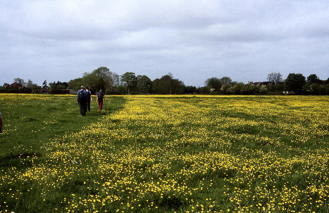
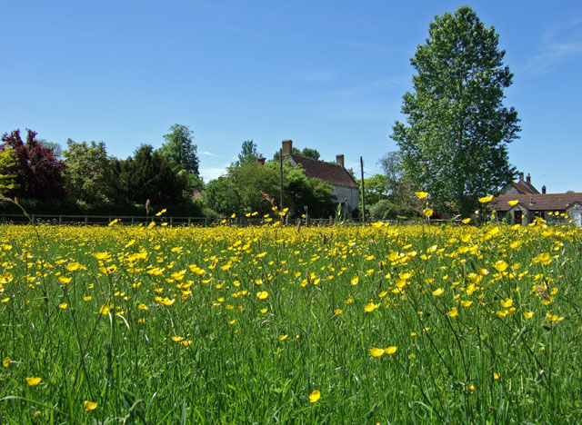
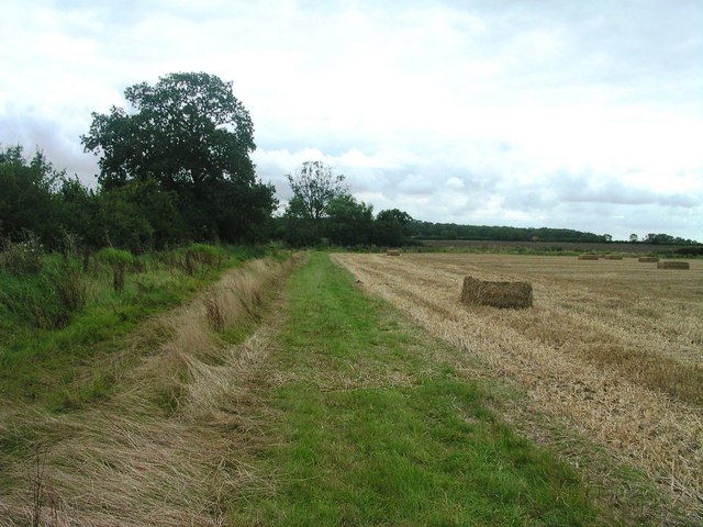
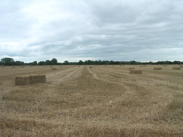
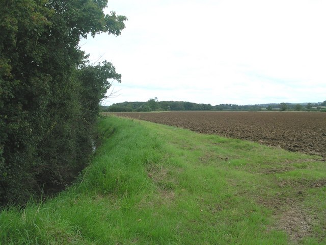
Steart Hill Copse is a charming woodland located in the county of Somerset, England. Nestled amidst the rolling hills of the Quantock Range, this 200-acre forest is a haven for nature enthusiasts and those seeking tranquility away from the bustling city life.
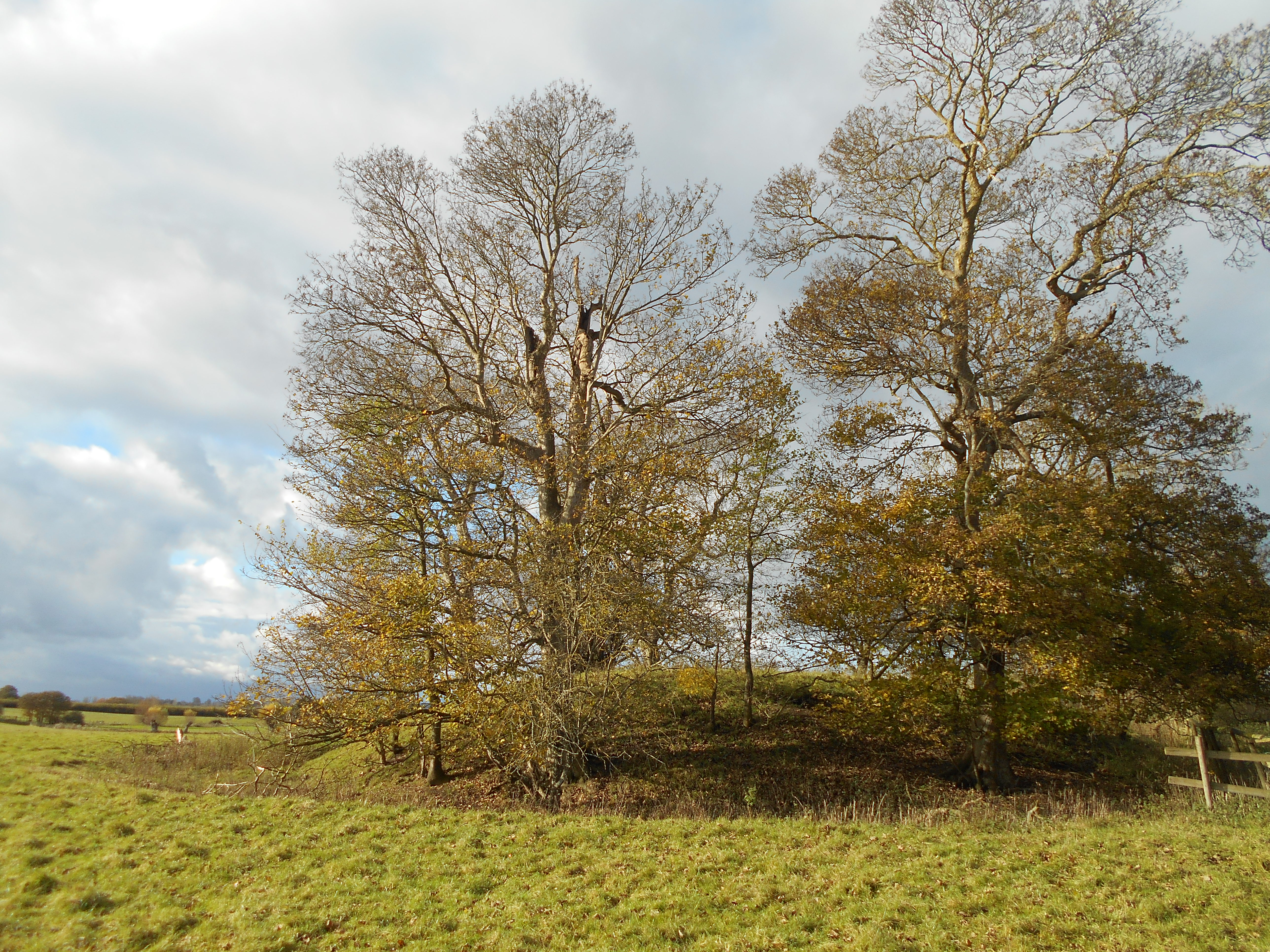
The copse is predominantly made up of broadleaf deciduous trees, such as oak, beech, and birch, which provide a stunning display of colors during the autumn months. The forest floor is rich with a diverse range of plant life, including bluebells, wild garlic, and foxgloves, creating a vibrant tapestry of colors and scents.
The woodland is home to a variety of wildlife, making it an ideal destination for birdwatchers and animal lovers. Visitors may spot buzzards soaring overhead, woodpeckers drumming on tree trunks, and deer grazing in the meadows. The copse is also a breeding ground for several species of butterflies, adding to its natural beauty.
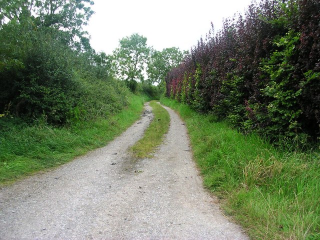
Several walking trails wind their way through Steart Hill Copse, allowing visitors to explore the forest at their own pace. The paths vary in difficulty, catering to both casual strollers and more adventurous hikers. Along the way, informative signs provide insight into the copse's history, ecology, and conservation efforts.
The copse is open to the public throughout the year, with no admission fee. It offers a peaceful retreat for nature lovers, providing a chance to reconnect with the natural world and escape the stresses of everyday life. Steart Hill Copse truly is a hidden gem in the heart of Somerset, offering a slice of tranquility and natural beauty for all to enjoy.
If you have any feedback on the listing, please let us know in the comments section below.
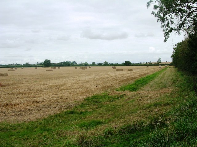
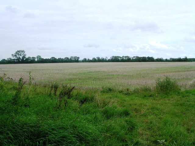
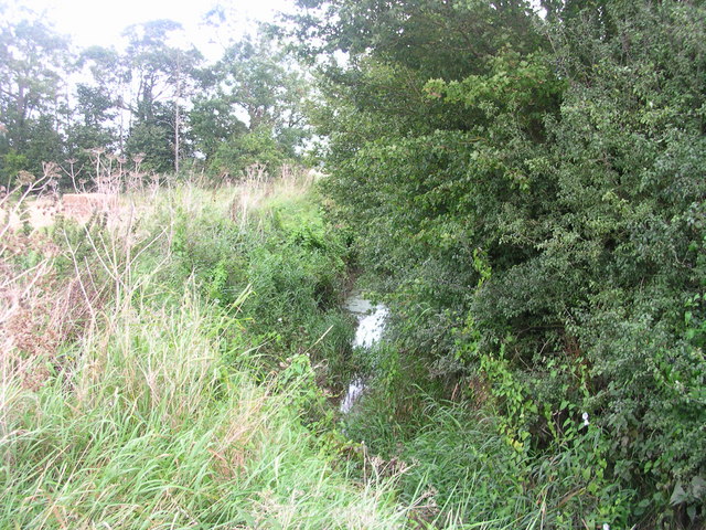
Steart Hill Copse Images
Images are sourced within 2km of 51.030619/-2.6045537 or Grid Reference ST5725. Thanks to Geograph Open Source API. All images are credited.
Steart Hill Copse is located at Grid Ref: ST5725 (Lat: 51.030619, Lng: -2.6045537)
Administrative County: Somerset
District: South Somerset
Police Authority: Avon and Somerset
What 3 Words
///megawatt.actor.prompts. Near Ilchester, Somerset
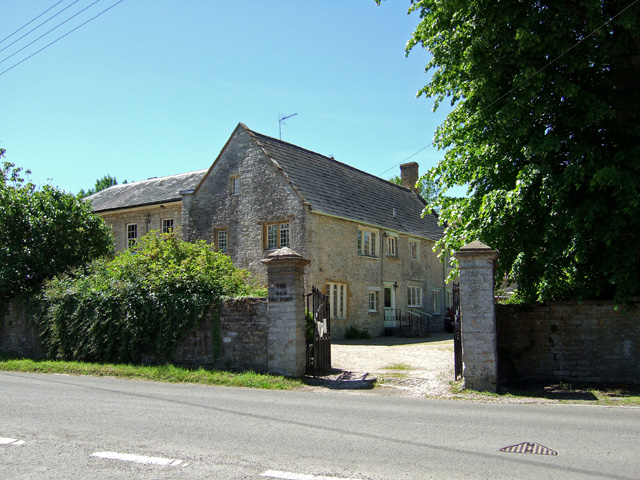
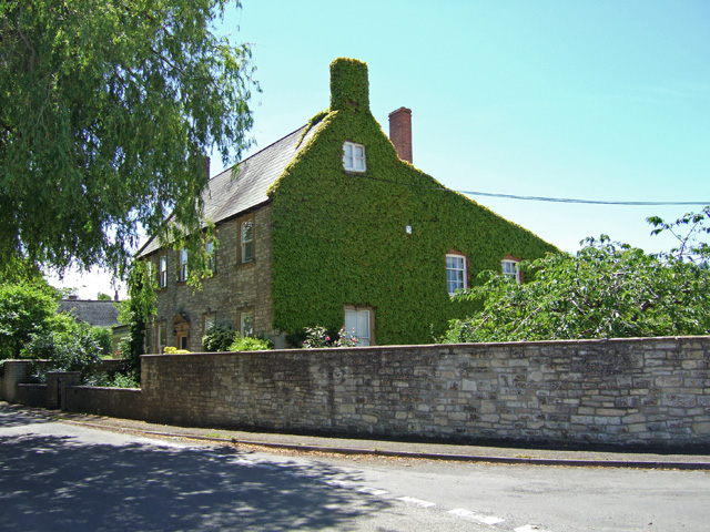
Nearby Locations
Related Wikis

West Camel
West Camel is a village and civil parish in south Somerset, England, about 7 miles (11.3 km) north of the town of Yeovil. It lies either side of the River...
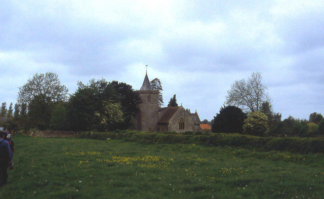
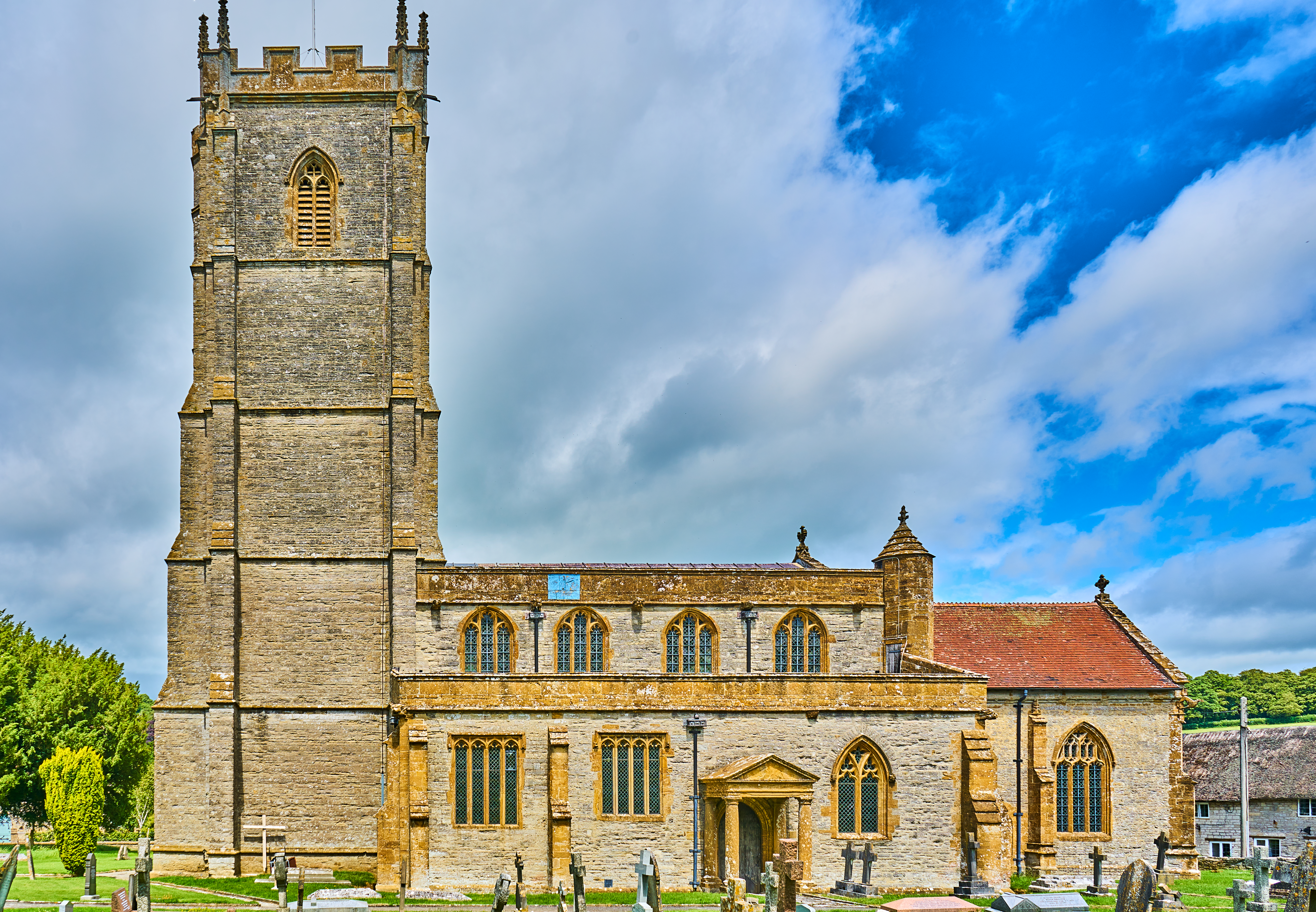
Church of All Saints, West Camel
The Church of All Saints in West Camel, Somerset, England, dates from the late 14th century and has been designated as a Grade I listed building.There...
Queen Camel
Queen Camel is a village and civil parish, on the River Cam and the A359 road, in the unitary authority of Somerset, England. It is about 7 miles (11.3...

Church of St Barnabas, Queen Camel
The Church of St Barnabas in Queen Camel, Somerset, England was built in the 14th century and has been designated as a Grade I listed building.A former...

Hazlegrove Preparatory School
Hazlegrove Preparatory School is a non-selective co-educational preparatory school at Sparkford, Somerset in the south west of England. Hazlegrove is part...
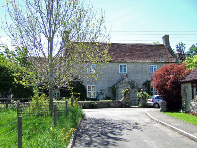
Hazlegrove House
Hazlegrove House is a 17th-century Grade II listed building located in the parish of Queen Camel near Sparkford, Somerset, England. It was largely rebuilt...

Camelot (ward)
Camelot is an electoral ward of South Somerset District Council in Somerset, England. It is one of the wards that makes up the parliamentary constituency...
Wimble Toot
Wimble Toot is a burial mound or, possibly, a motte built near the village of Babcary, Somerset, England. It is a scheduled ancient monument with a list...
Nearby Amenities
Located within 500m of 51.030619,-2.6045537Have you been to Steart Hill Copse?
Leave your review of Steart Hill Copse below (or comments, questions and feedback).