Hanging Grove

Wood, Forest in Herefordshire

England

Hanging Grove

St Andrew, Leysters In a quite wonderful setting and full of interest.
St Andrew, Leysters Credit: Philip Pankhurst

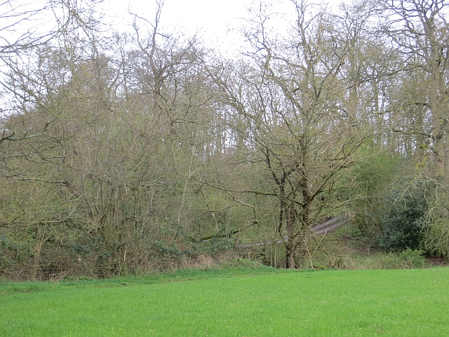
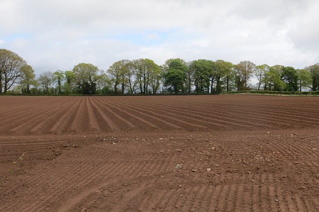
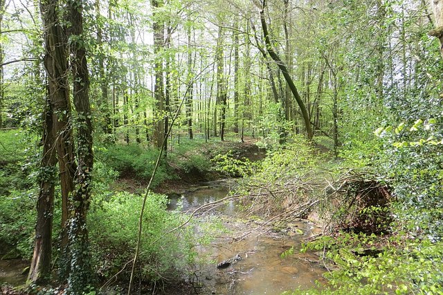
Hanging Grove, located in Herefordshire, England, is a picturesque woodland area renowned for its natural beauty and rich biodiversity. This enchanting forest, situated on the western slopes of the Malvern Hills, covers an area of approximately 200 acres, making it a significant woodland in the region.

The Grove is characterized by its dense canopy of towering trees, predominantly consisting of oak, beech, and ash species. These majestic trees create a serene and tranquil atmosphere, providing a perfect habitat for a diverse range of flora and fauna. The forest floor is carpeted with a variety of wildflowers, including bluebells and primroses, creating a vibrant and colorful display during springtime.

Home to an abundance of wildlife, Hanging Grove is a haven for nature enthusiasts and birdwatchers. The woodland provides a sanctuary for various bird species, such as woodpeckers, owls, and songbirds. Additionally, the forest is inhabited by elusive mammals like badgers, foxes, and deer, adding to its allure and natural charm.

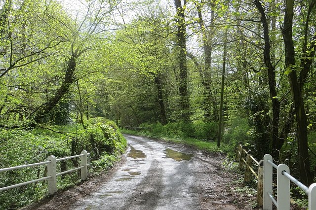
A network of well-maintained trails meander through the Grove, offering visitors the opportunity to explore and immerse themselves in its breathtaking surroundings. These paths allow hikers and nature lovers to appreciate the diverse flora and fauna while enjoying the tranquility of the forest.

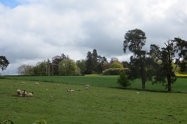
Hanging Grove is not only a natural treasure but also an important conservation area. It is managed carefully to preserve its unique ecosystem and protect its delicate balance. The woodland serves as a vital green lung for the region, contributing to the overall well-being of both humans and wildlife.

Overall, Hanging Grove stands as a testament to the beauty of nature, providing a peaceful retreat for locals and visitors alike, where they can connect with the natural world and appreciate the wonders of Herefordshire's woodlands.

If you have any feedback on the listing, please let us know in the comments section below.

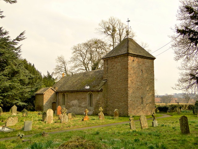
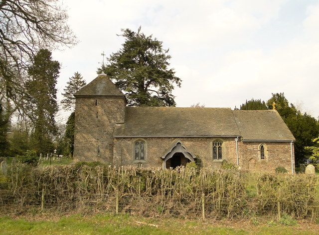
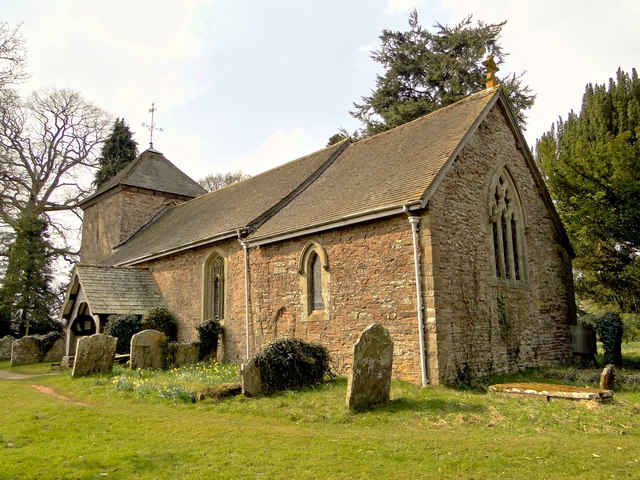
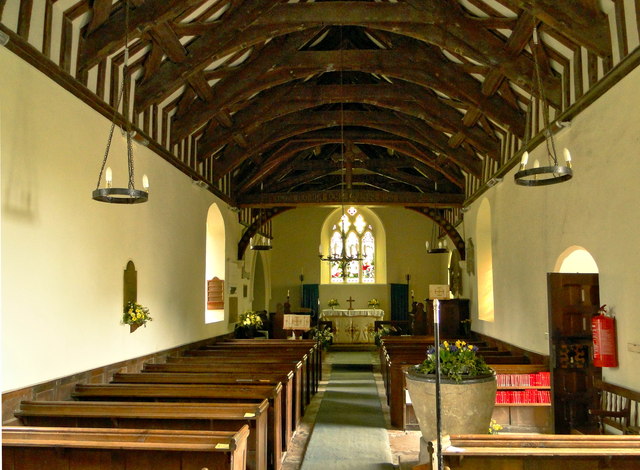
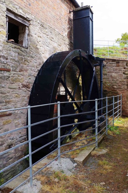
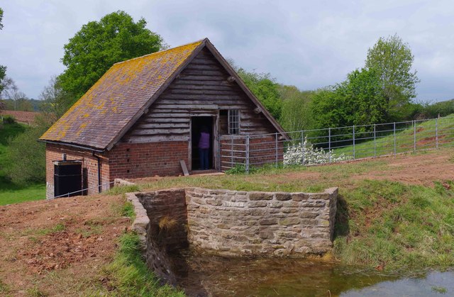
Hanging Grove Images

Images are sourced within 2km of 52.268237/-2.62112 or Grid Reference SO5763. Thanks to Geograph Open Source API. All images are credited.

St Andrew, Leysters In a quite wonderful setting and full of interest.
St Andrew, Leysters
In a quite wonderful setting and full of interest.
St Andrew, Leysters The South side, seen from the moated Norman site next door. My feet bear witness to the fact that the site is still moated. A fabulous setting in a county that abounds in them.
St Andrew, Leysters
The South side, seen from the moated Norman site next door. My feet bear witness to the fact that the site is still moated. A fabulous setting in a county that abounds in them.
St Andrew, Leysters A fascinating little church in a quite magically tranquil setting.
St Andrew, Leysters
A fascinating little church in a quite magically tranquil setting.
St Andrew, Leysters The interior, showing the fine 14th century nave roof. The ancient font came from Pudleston.
St Andrew, Leysters
The interior, showing the fine 14th century nave roof. The ancient font came from Pudleston.
St Andrew, Leysters SE chancel window dating from 1915. A late work by Morris & Co, to a design by Burne-Jones.
St Andrew, Leysters
SE chancel window dating from 1915. A late work by Morris & Co, to a design by Burne-Jones.
Church House, Leysters An unspoilt 18th century farmhouse with enormous contemporary outbuildings. A costume drama setting just waiting to be discovered.
Church House, Leysters
An unspoilt 18th century farmhouse with enormous contemporary outbuildings. A costume drama setting just waiting to be discovered.
Field, Wilden Taken while opening the gate on the road.
Field, Wilden
Taken while opening the gate on the road.
Potato field, Leysters Near the church and presumably former site of the village.
Potato field, Leysters
Near the church and presumably former site of the village.
Cockspur Coppice The Cheaton Brook runs through a small beech wood.
Cockspur Coppice
The Cheaton Brook runs through a small beech wood.
Cockspur Coppice A road to Bockleton crosses the Cheaton Brook.
Cockspur Coppice
A road to Bockleton crosses the Cheaton Brook.
Bockleton Looking towards what was an outdoor education facility owned by Birmingham City Council. It is now for sale.
Bockleton
Looking towards what was an outdoor education facility owned by Birmingham City Council. It is now for sale.
Road junction, Newton A clump of horse chestnuts beside a road junction.
Road junction, Newton
A clump of horse chestnuts beside a road junction.
Oilseed rape, Newton
Birchley Mill, Bockleton, Worcs This old corn mill is complete with wooden and iron machinery. The massive black waterwheel at the side has recently been restored and part of this can be seen on the right in this view. The mill is not normally open to the public but was open on the Sunday of The National Mills Weekend 2015. It is right on the edge of O.S. square SO5864 but a little of the rear is in SO5964.

<a href="https://www.geograph.org.uk/photo/4468510">SO5864 : The waterwheel at Birchley Mill, Bockleton, Worcs</a>.
<a href="https://www.geograph.org.uk/photo/4468522">SO5964 : Rear of Birchley Mill, Bockleton, Worcs</a>.
Birchley Mill, Bockleton, Worcs
This old corn mill is complete with wooden and iron machinery. The massive black waterwheel at the side has recently been restored and part of this can be seen on the right in this view. The mill is not normally open to the public but was open on the Sunday of The National Mills Weekend 2015. It is right on the edge of O.S. square SO5864 but a little of the rear is in SO5964. SO5864 : The waterwheel at Birchley Mill, Bockleton, Worcs. SO5964 : Rear of Birchley Mill, Bockleton, Worcs.
The waterwheel at Birchley Mill, Bockleton, Worcs The large waterwheel has recently been restored and was turning during the Sunday of National Mills Weekend 2015. However there wasn't a great deal of water available.

<a href="https://www.geograph.org.uk/photo/4468500">SO5864 : Birchley Mill, Bockleton, Worcs</a>.
The waterwheel at Birchley Mill, Bockleton, Worcs
The large waterwheel has recently been restored and was turning during the Sunday of National Mills Weekend 2015. However there wasn't a great deal of water available. SO5864 : Birchley Mill, Bockleton, Worcs.
Rear of Birchley Mill, Bockleton, Worcs The entrance to the mill at this level is actually onto the mill's second floor. This old corn mill has recently had its waterwheel restored and was photographed on the Sunday of National Mills Weekend 2015. It is not normally open to the public. Almost all of the mill is in O.S. square SO5864, but part of the rear, nearest the camera, is in SO5964.

<a href="https://www.geograph.org.uk/photo/4468500">SO5864 : Birchley Mill, Bockleton, Worcs</a>.
<a href="https://www.geograph.org.uk/photo/4468510">SO5864 : The waterwheel at Birchley Mill, Bockleton, Worcs</a>.
Rear of Birchley Mill, Bockleton, Worcs
The entrance to the mill at this level is actually onto the mill's second floor. This old corn mill has recently had its waterwheel restored and was photographed on the Sunday of National Mills Weekend 2015. It is not normally open to the public. Almost all of the mill is in O.S. square SO5864, but part of the rear, nearest the camera, is in SO5964. SO5864 : Birchley Mill, Bockleton, Worcs. SO5864 : The waterwheel at Birchley Mill, Bockleton, Worcs.
Birchley Mill - Bockleton Corn mill with overshot wheel. The estate mill was modified in 1855 with a third floor added and new wheel.
Birchley Mill - Bockleton
Corn mill with overshot wheel. The estate mill was modified in 1855 with a third floor added and new wheel.
Birchley Mill - Pit Wheel The wheel was turning for National Mills Weekend 2015.
Birchley Mill - Pit Wheel
The wheel was turning for National Mills Weekend 2015.
Show me another place!

Hanging Grove is located at Grid Ref: SO5763 (Lat: 52.268237, Lng: -2.62112)

Unitary Authority: County of Herefordshire

Police Authority: West Mercia

What 3 Words

///untruth.report.converter. Near Tenbury Wells, Worcestershire

Related Wikis

Laysters

Laysters is a civil parish in north-east Herefordshire, England, and approximately 15 miles (20 km) north-northeast from the city and county town of Hereford...

St Michael's College, Tenbury

St. Michael's College (the College of St. Michael and All Angels) was founded by Sir Frederick Ouseley in 1856 as a boys Preparatory School. Ouseley created...

Duke of York, Leysters

The Duke of York is a public house in the parish of Middleton on the Hill, near Leominster, Herefordshire. The pub is on the Campaign for Real Ale's National...

Bockleton

Bockleton is a small village and civil parish (with a shared parish council with neighbouring Stoke Bliss and Kyre) in the Malvern Hills district of Worcestershire...

Berrington Green

Berrington Green is a village in Worcestershire, England near Tenbury Wells. == External links == Media related to Berrington Green at Wikimedia Commons

Oldwood, Worcestershire

Oldwood is a hamlet in the English county of Worcestershire. Oldwood is located on the A4112 road a mile southwest of the market town of Tenbury Wells...

Middleton on the Hill

Middleton on the Hill is a village in north east Herefordshire, England, near the border with Worcestershire. Middleton-on-the-Hill lies a few miles to...

Hampton Charles, Herefordshire

Hampton Charles is a dispersed hamlet and civil parish in Herefordshire, England, and approximately 5 miles (8 km) north-west from Bromyard. The Herefordshire...

Nearby Amenities

Located within 500m of 52.268237,-2.62112
The data included in this document is from www.openstreetmap.org. The data is made available under ODbL.

Have you been to Hanging Grove?

Leave your review of Hanging Grove below (or comments, questions and feedback).