Steart Wood
Wood, Forest in Somerset South Somerset
England
Steart Wood
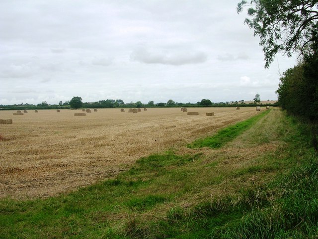
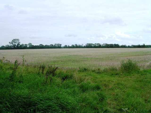
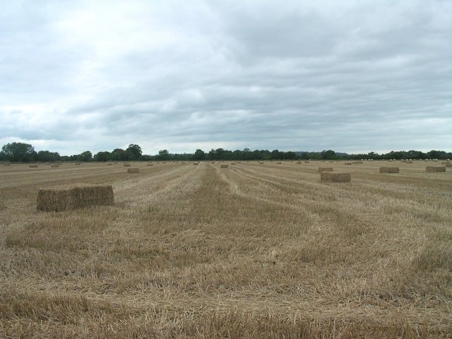
Steart Wood is a picturesque forest located in the county of Somerset, England. Situated near the village of Steart within the Somerset Levels, this woodland covers an area of approximately 300 hectares. Steart Wood is known for its diverse range of flora and fauna, making it a popular destination for nature enthusiasts and wildlife lovers.
The woodland is characterized by its mix of deciduous and coniferous trees, including oak, birch, beech, and pine. These trees create a beautifully dense canopy, providing shelter for a variety of wildlife species. Visitors to Steart Wood may have the opportunity to spot a wide range of animals, such as deer, foxes, badgers, and a multitude of bird species.
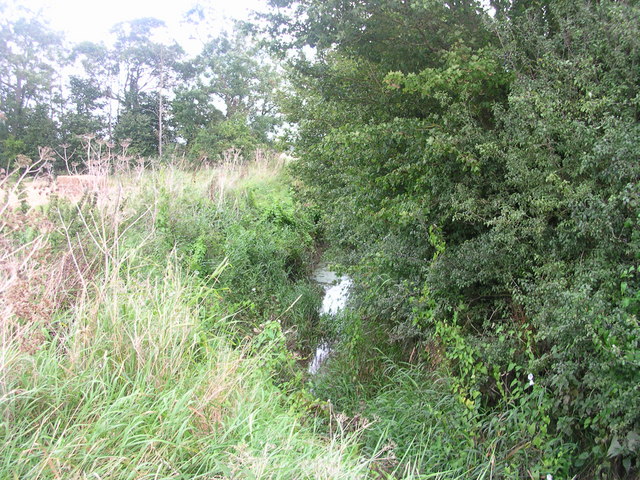
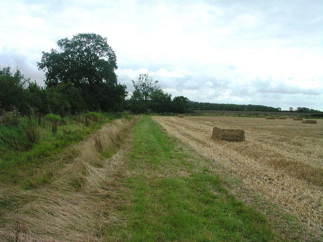
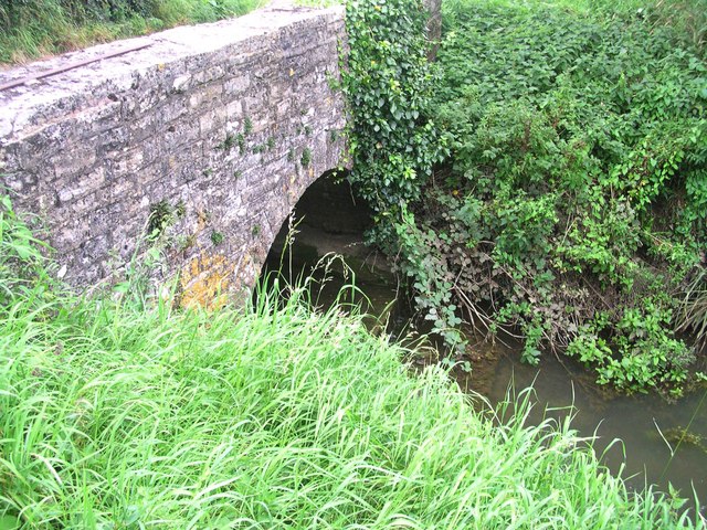
Steart Wood boasts several well-maintained walking trails, allowing visitors to explore the forest and immerse themselves in its natural beauty. The trails wind through the woodland, offering glimpses of serene ponds, wildflower meadows, and ancient trees. The area is also home to a number of historic features, including remnants of ancient earthworks and the ruins of a medieval chapel.
Managed by the Forestry Commission, Steart Wood is an important conservation site, dedicated to preserving and enhancing the natural habitats within the forest. The woodland plays a crucial role in maintaining biodiversity and providing a sanctuary for endangered species.
Overall, Steart Wood offers a tranquil and enchanting escape into nature, where visitors can enjoy the peacefulness of the forest, observe wildlife in their natural habitat, and appreciate the beauty of the Somerset countryside.
If you have any feedback on the listing, please let us know in the comments section below.
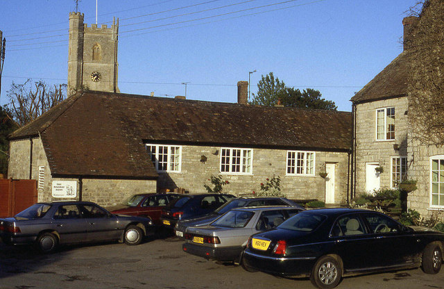
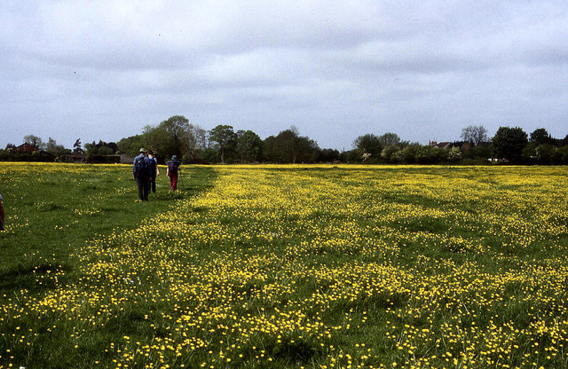
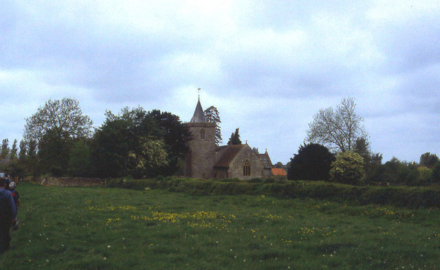
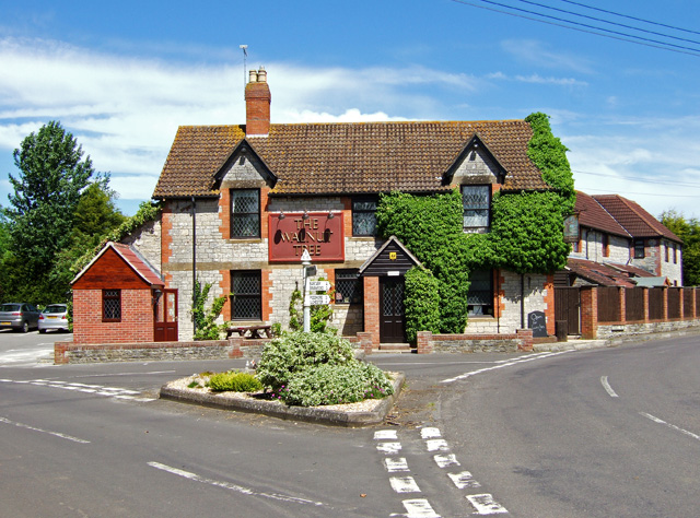
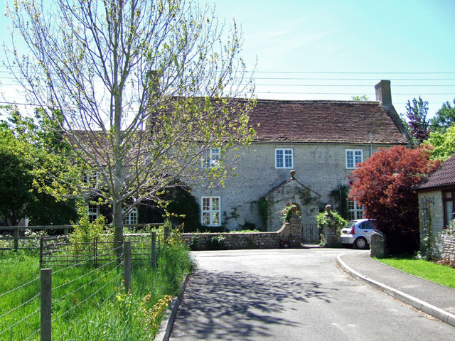
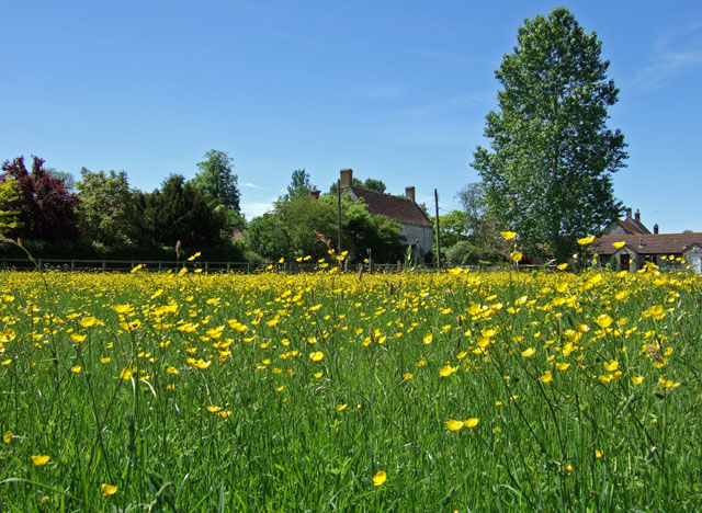
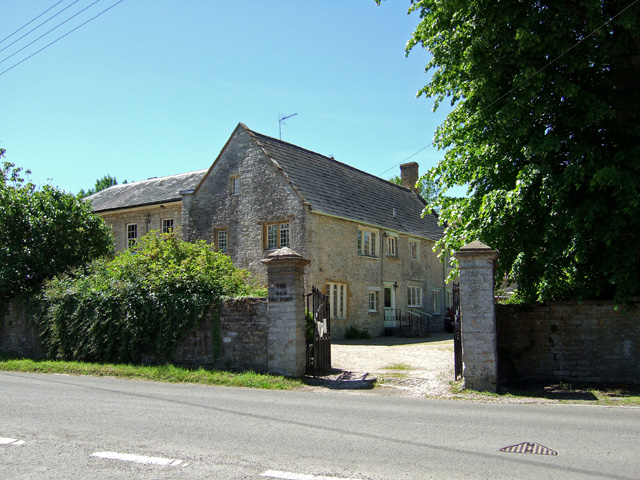
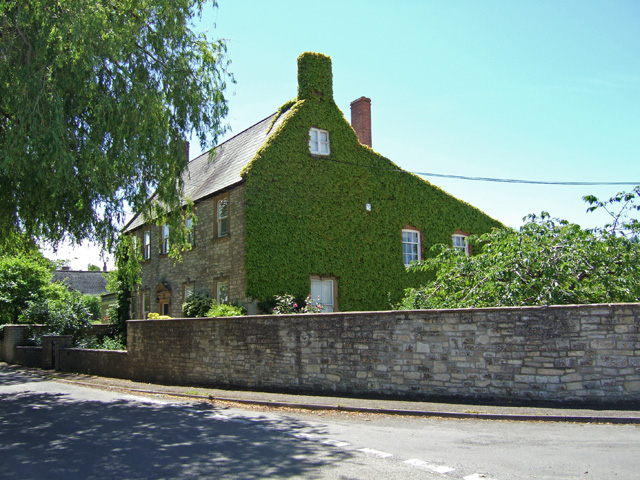
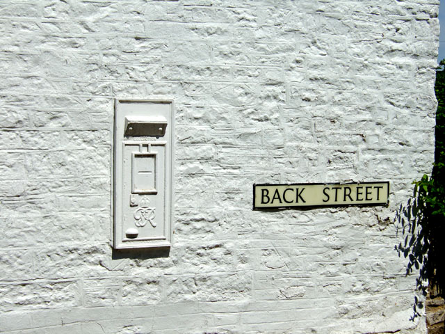
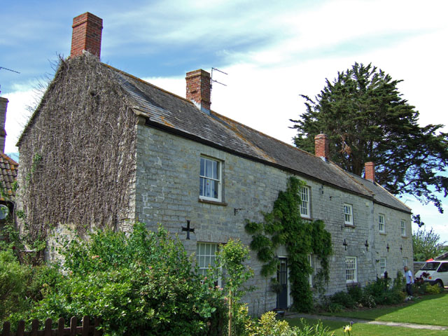
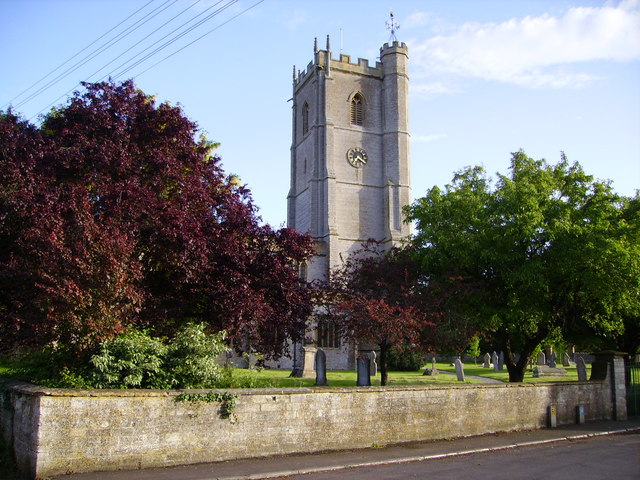
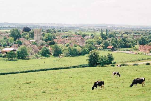
Steart Wood Images
Images are sourced within 2km of 51.030197/-2.6009689 or Grid Reference ST5725. Thanks to Geograph Open Source API. All images are credited.
Steart Wood is located at Grid Ref: ST5725 (Lat: 51.030197, Lng: -2.6009689)
Administrative County: Somerset
District: South Somerset
Police Authority: Avon and Somerset
What 3 Words
///perfume.crafts.allows. Near Ilchester, Somerset
Nearby Locations
Related Wikis

West Camel
West Camel is a village and civil parish in south Somerset, England, about 7 miles (11.3 km) north of the town of Yeovil. It lies either side of the River...
Church of All Saints, West Camel
The Church of All Saints in West Camel, Somerset, England, dates from the late 14th century and has been designated as a Grade I listed building.There...

Queen Camel
Queen Camel is a village and civil parish, on the River Cam and the A359 road, in the unitary authority of Somerset, England. It is about 7 miles (11.3...

Church of St Barnabas, Queen Camel
The Church of St Barnabas in Queen Camel, Somerset, England was built in the 14th century and has been designated as a Grade I listed building.A former...

Hazlegrove Preparatory School
Hazlegrove Preparatory School is a non-selective co-educational preparatory school at Sparkford, Somerset in the south west of England. Hazlegrove is part...
Hazlegrove House
Hazlegrove House is a 17th-century Grade II listed building located in the parish of Queen Camel near Sparkford, Somerset, England. It was largely rebuilt...

Camelot (ward)
Camelot is an electoral ward of South Somerset District Council in Somerset, England. It is one of the wards that makes up the parliamentary constituency...

Haynes International Motor Museum
Haynes Motor Museum at Sparkford near Yeovil in Somerset, England, contains over 400 cars and motorcycles and a collection of other automobilia. The museum...
Nearby Amenities
Located within 500m of 51.030197,-2.6009689Have you been to Steart Wood?
Leave your review of Steart Wood below (or comments, questions and feedback).