West Camel Hill
Hill, Mountain in Somerset South Somerset
England
West Camel Hill

West Camel Hill is a prominent geographical feature located in Somerset, England. Rising to an elevation of 79 meters (259 feet), it is classified as a hill rather than a mountain due to its relatively modest height. The hill is situated in the village of West Camel, near the town of Yeovil, and is part of the picturesque countryside of South Somerset.
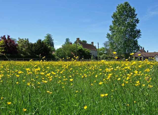
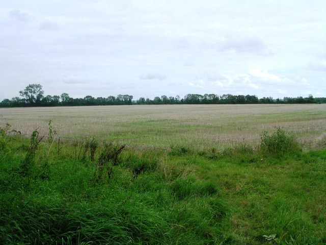
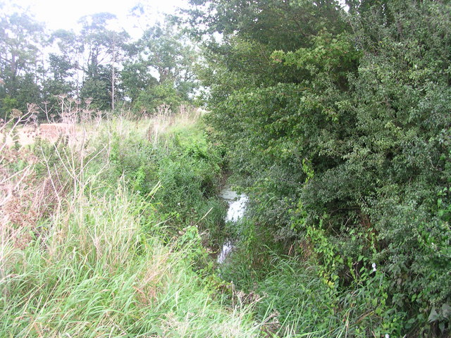
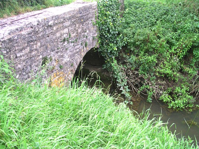
West Camel Hill is primarily composed of limestone, which gives it a distinctive pale appearance. The hill is covered in lush green vegetation, with patches of woodland and grassland dotting its slopes. The summit offers panoramic views of the surrounding countryside, including the nearby River Cam and the rolling hills of Somerset.
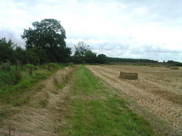
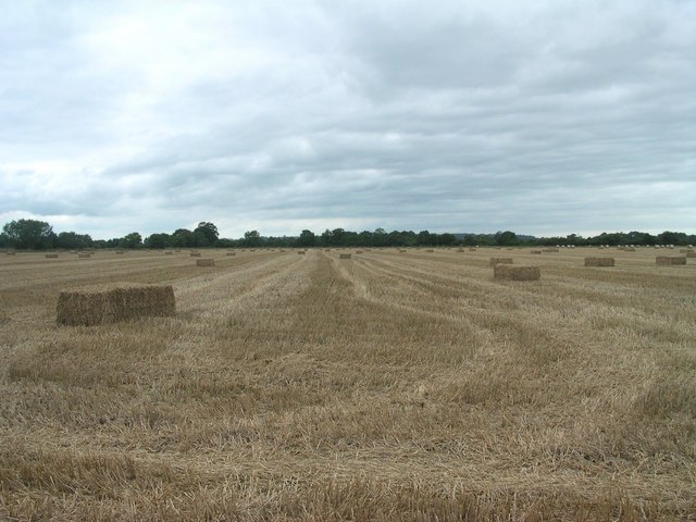
The hill has historical significance, with traces of Iron Age settlements discovered in the vicinity. These findings indicate that the area has been inhabited for thousands of years. Today, West Camel Hill continues to be a popular spot for outdoor activities such as walking, hiking, and picnicking. The well-maintained footpaths and trails provide easy access for visitors to explore the hill's natural beauty.
In addition to its recreational value, West Camel Hill plays a vital role in the local ecosystem. The diverse flora and fauna found on the hill provide a habitat for various wildlife species, including birds, mammals, and insects. Conservation efforts are in place to protect and preserve this natural environment.
Overall, West Camel Hill offers a tranquil escape from the hustle and bustle of urban life, providing visitors with breathtaking views, historical significance, and the opportunity to connect with nature in the heart of Somerset.
If you have any feedback on the listing, please let us know in the comments section below.
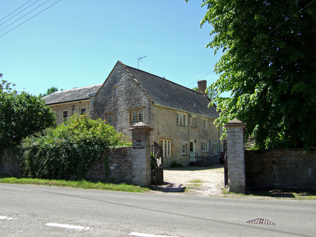
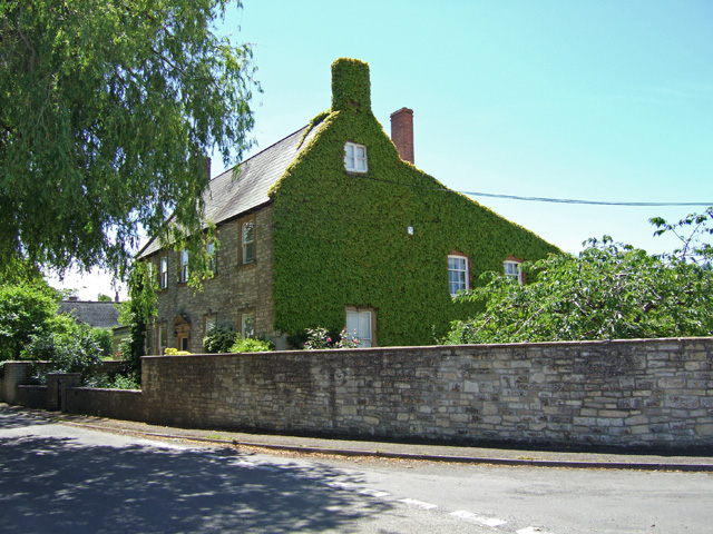
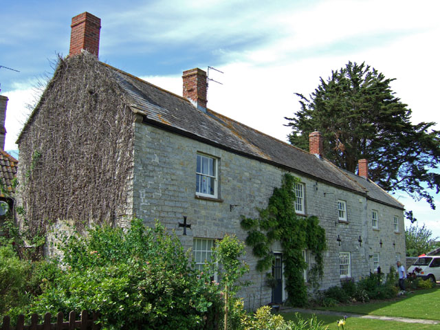
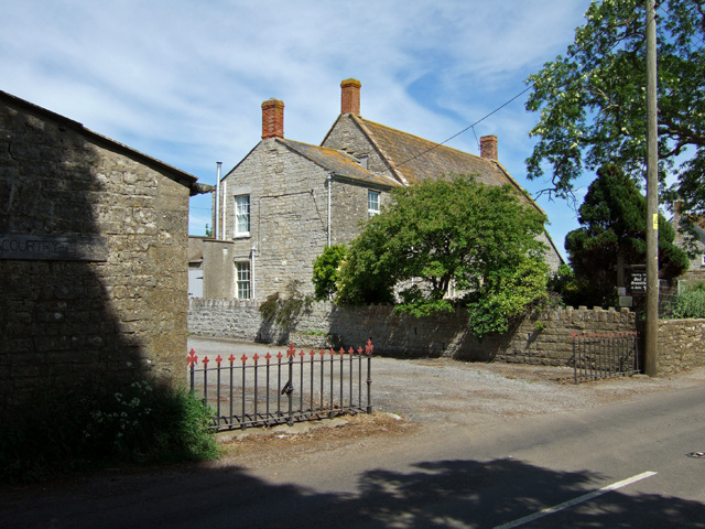
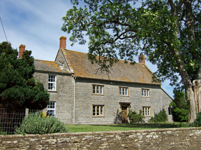
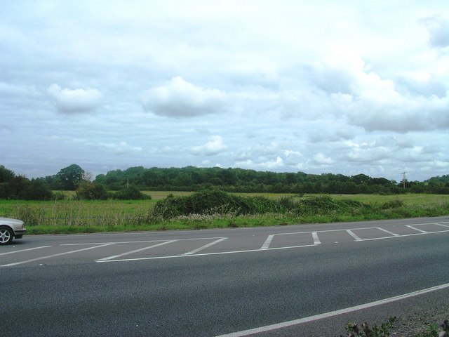
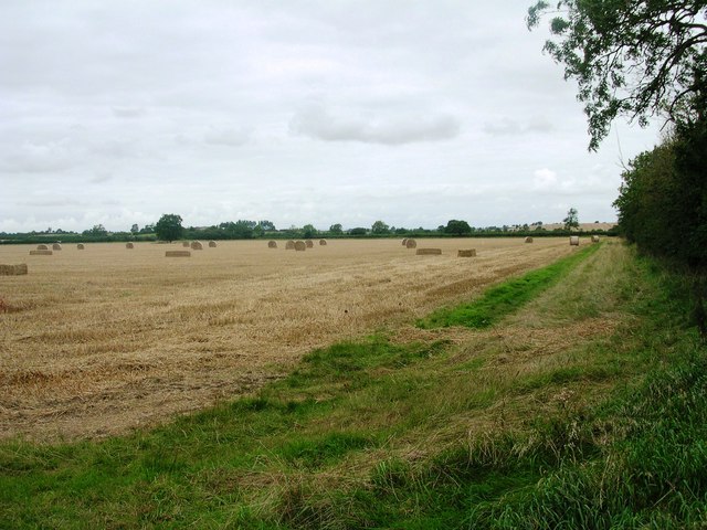
West Camel Hill Images
Images are sourced within 2km of 51.027461/-2.6117421 or Grid Reference ST5725. Thanks to Geograph Open Source API. All images are credited.
West Camel Hill is located at Grid Ref: ST5725 (Lat: 51.027461, Lng: -2.6117421)
Administrative County: Somerset
District: South Somerset
Police Authority: Avon and Somerset
What 3 Words
///shun.quality.applauded. Near Ilchester, Somerset
Nearby Locations
Related Wikis

West Camel
West Camel is a village and civil parish in south Somerset, England, about 7 miles (11.3 km) north of the town of Yeovil. It lies either side of the River...
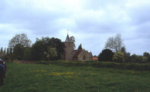
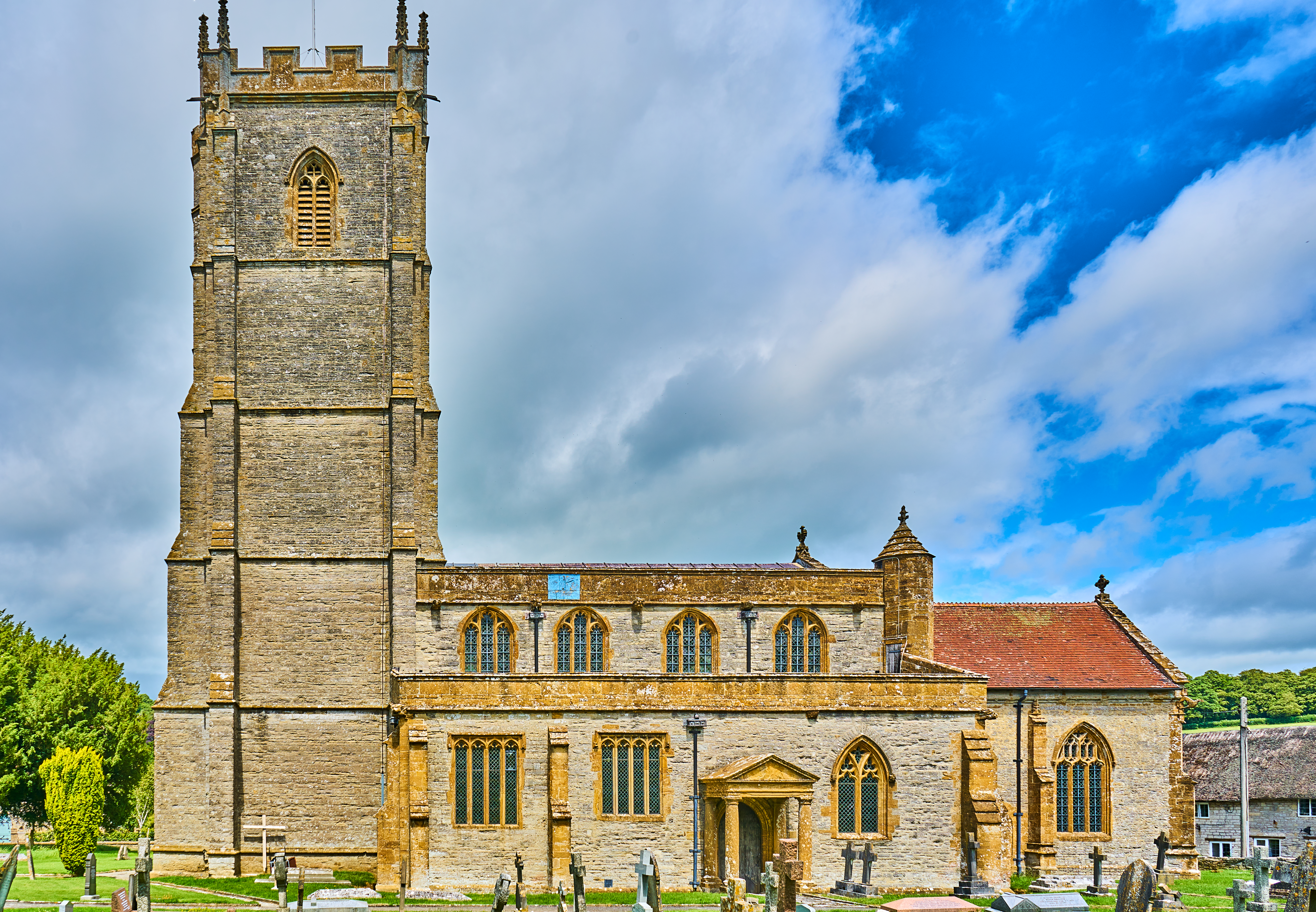
Church of All Saints, West Camel
The Church of All Saints in West Camel, Somerset, England, dates from the late 14th century and has been designated as a Grade I listed building.There...
Queen Camel
Queen Camel is a village and civil parish, on the River Cam and the A359 road, in the unitary authority of Somerset, England. It is about 7 miles (11.3...

Church of St Peter, Yeovilton
The Church of St Peter at Podimore in the parish of Yeovilton, Somerset, England, dates from the early 14th century and has been designated as a Grade...

Church of St Barnabas, Queen Camel
The Church of St Barnabas in Queen Camel, Somerset, England was built in the 14th century and has been designated as a Grade I listed building.A former...
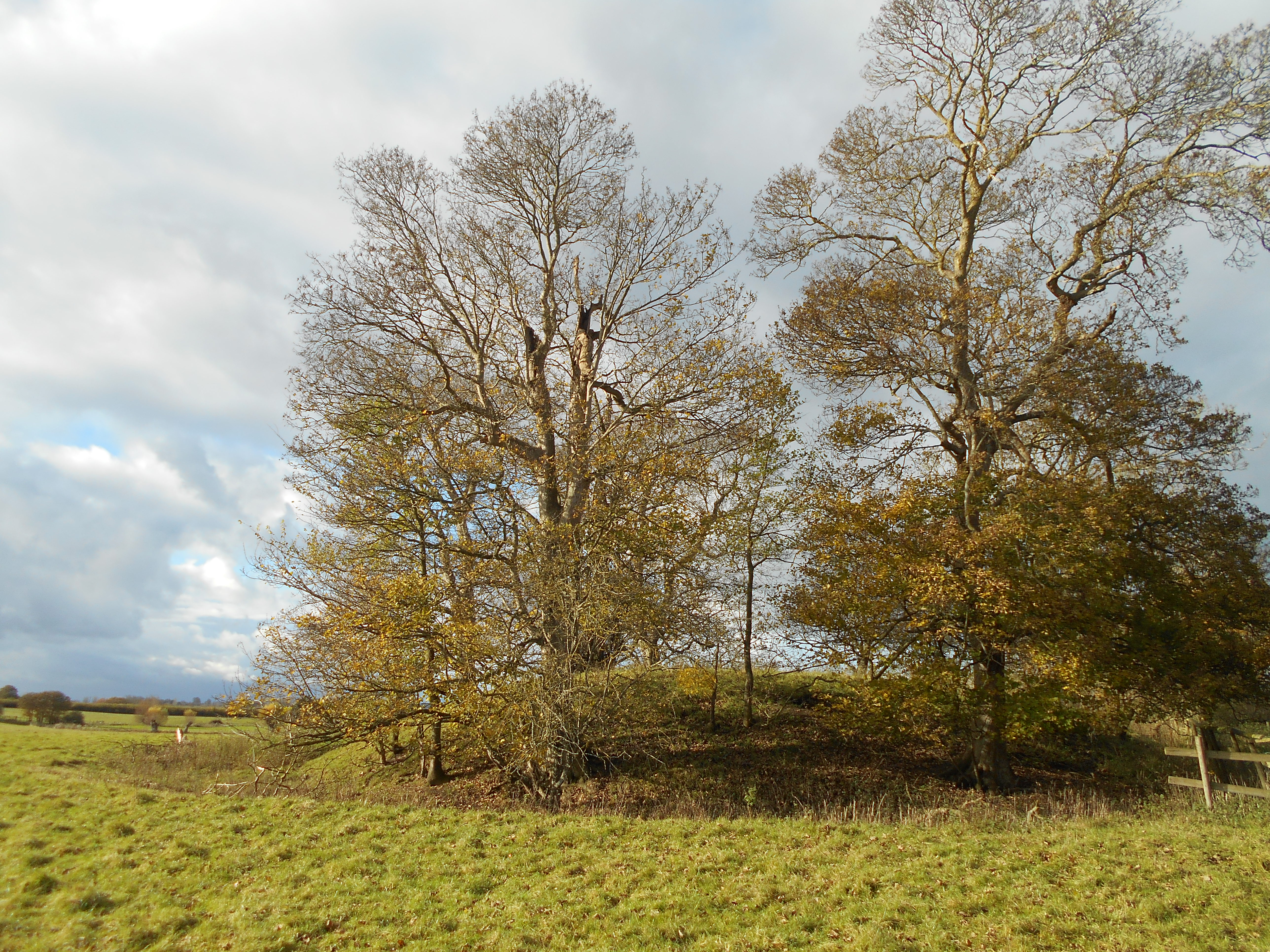
Wimble Toot
Wimble Toot is a burial mound or, possibly, a motte built near the village of Babcary, Somerset, England. It is a scheduled ancient monument with a list...
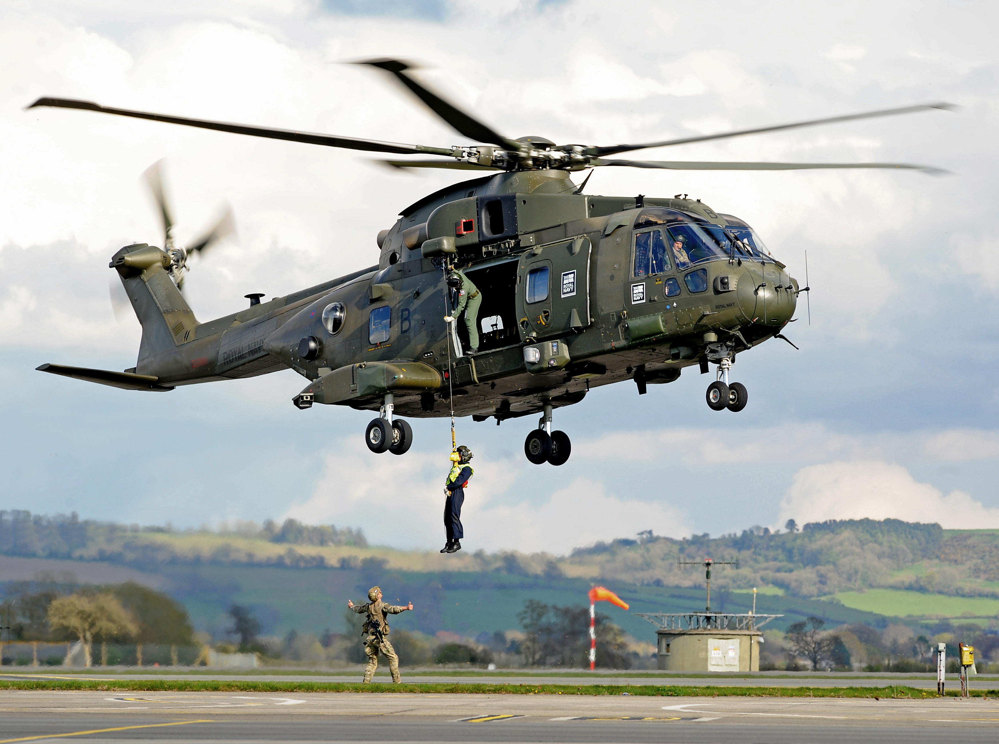
RNAS Yeovilton (HMS Heron)
Royal Naval Air Station Yeovilton, commonly referred to as RNAS Yeovilton, (IATA: YEO, ICAO: EGDY) (HMS Heron) is a military airbase of the Royal Navy...
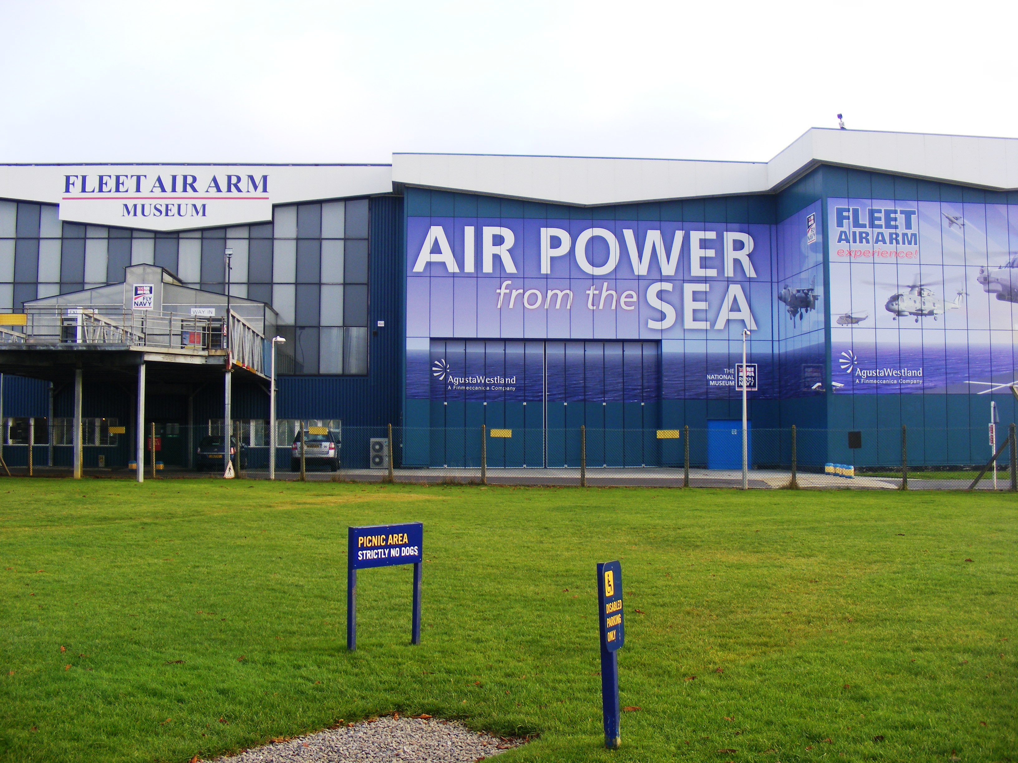
Fleet Air Arm Museum
The Fleet Air Arm Museum is devoted to the history of British naval aviation. It has an extensive collection of military and civilian aircraft, aero engines...
Nearby Amenities
Located within 500m of 51.027461,-2.6117421Have you been to West Camel Hill?
Leave your review of West Camel Hill below (or comments, questions and feedback).