Folly Wood

Wood, Forest in Somerset Mendip

England

Folly Wood

North Wootton - Crossroads Hotel Enlarged hotel big enough for weddings and larger functions in this small village.
North Wootton - Crossroads Hotel Credit: Nigel Freeman

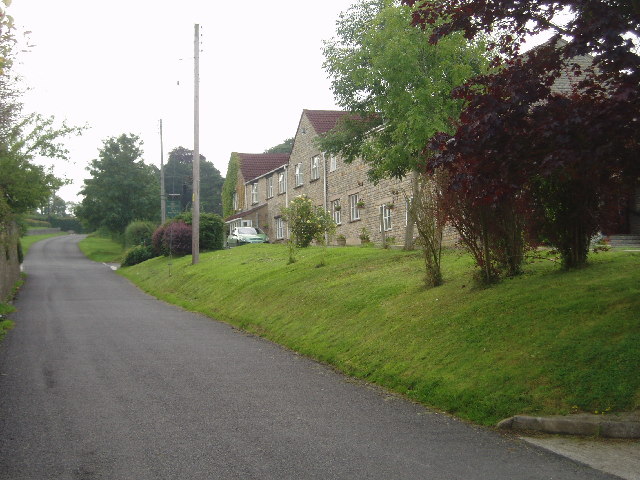
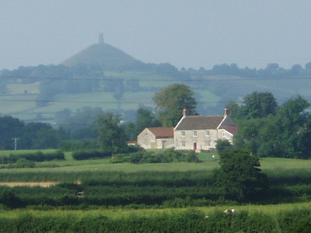
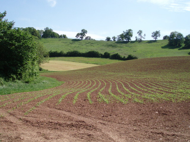
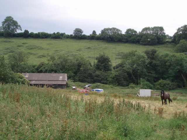
Folly Wood is a picturesque forest located in Somerset, England. Covering an area of approximately 200 acres, this woodland offers a tranquil escape from the bustling city life. Situated near the village of Folly, Folly Wood is renowned for its natural beauty and diverse wildlife.

The forest is primarily composed of broadleaf trees, including oak, beech, and chestnut, which create a dense canopy that provides shade and shelter for the flora and fauna that call this woodland home. The forest floor is covered in a lush carpet of ferns, mosses, and wildflowers, adding to its enchanting ambiance.

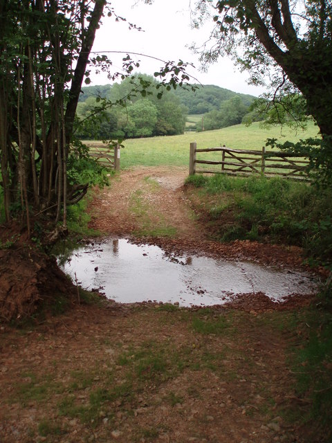
Folly Wood is a popular destination for nature enthusiasts and hikers, who can explore its numerous walking trails that wind through the forest. These trails offer stunning views of the surrounding countryside and provide an opportunity to observe the woodland's abundant wildlife, such as deer, squirrels, and various bird species.

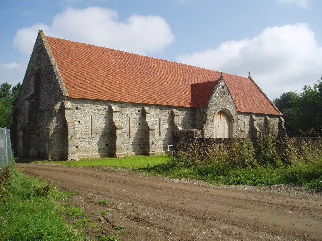
In addition to its natural attractions, Folly Wood also boasts a rich historical heritage. The remains of an ancient hill fort can be found within the forest, serving as a reminder of the area's past as a defensive stronghold. Visitors can explore these ancient ruins and imagine what life was like for the inhabitants of this fort centuries ago.

Overall, Folly Wood in Somerset is a captivating destination that combines natural beauty with a touch of history. Whether it's a leisurely stroll, bird-watching, or immersing oneself in the tranquility of nature, Folly Wood offers something for everyone.

If you have any feedback on the listing, please let us know in the comments section below.

Folly Wood Images

Images are sourced within 2km of 51.175505/-2.607277 or Grid Reference ST5741. Thanks to Geograph Open Source API. All images are credited.

North Wootton - Crossroads Hotel Enlarged hotel big enough for weddings and larger functions in this small village.
North Wootton - Crossroads Hotel
Enlarged hotel big enough for weddings and larger functions in this small village.
Glastonbury Tor seen from North Wootton You can see the Tor rising from the flat meadows near Glastonbury from miles around.
Glastonbury Tor seen from North Wootton
You can see the Tor rising from the flat meadows near Glastonbury from miles around.
Crossroads near Pilton One of the smartest road signs in the area !
Crossroads near Pilton
One of the smartest road signs in the area !
Medieval Barn at Pilton The newly restored Medieval Barn is thought to date from 13th century and would originally been built for the tithe (one tenth of local produce) destined for Glastonbury Abbey. (See other picture of the interior)
Medieval Barn at Pilton
The newly restored Medieval Barn is thought to date from 13th century and would originally been built for the tithe (one tenth of local produce) destined for Glastonbury Abbey. (See other picture of the interior)
The Medieval barn at Pilton Recently restored, this medieval barn was originally built in the 13th century or before for Glastonbury Abbey. In 1963 lightning set fire to the roof and it  remained a wreck until Michael Eavis, organiser of the Glastonbury Festival and owner, presented the barn to the Pilton Barn Trust. A new roof, faithfully replicating the original, has been built using skills used when creating the Globe theatre in London.
The Medieval barn at Pilton
Recently restored, this medieval barn was originally built in the 13th century or before for Glastonbury Abbey. In 1963 lightning set fire to the roof and it remained a wreck until Michael Eavis, organiser of the Glastonbury Festival and owner, presented the barn to the Pilton Barn Trust. A new roof, faithfully replicating the original, has been built using skills used when creating the Globe theatre in London.
Glastonbury Festival fields general view overlooking the fields where the Glastonbury Festival is held. Over 150,000 attended the festival in 2005. The next one is scheduled for 2007. The Tor can be seen in the distance.
Glastonbury Festival fields
general view overlooking the fields where the Glastonbury Festival is held. Over 150,000 attended the festival in 2005. The next one is scheduled for 2007. The Tor can be seen in the distance.
Disused railway line The overgrown track was once the route for the Great Western Railway - Wells and Witham branch.
Disused railway line
The overgrown track was once the route for the Great Western Railway - Wells and Witham branch.
Worminster Cross The cross (and war memorial) stands of a piece of higher ground near 
Cross Farm in the hamlet of Worminster.
Worminster Cross
The cross (and war memorial) stands of a piece of higher ground near Cross Farm in the hamlet of Worminster.
Vanishing footpath The hill in the background is deceptively steep, and eventually leads around to Worminster Down and Launcherly Hill.  The footpath is meant to go straight through the middle of the ploughed field - but there was no sign of it and we kept to the hedgerows.
Vanishing footpath
The hill in the background is deceptively steep, and eventually leads around to Worminster Down and Launcherly Hill. The footpath is meant to go straight through the middle of the ploughed field - but there was no sign of it and we kept to the hedgerows.
Worminster and Worminster Sleight A view looking north east from the flank of a hill over the hamlet of Worminster.  The higher land in the background on the right is Worminster Sleight, the peak of which is called Corrington and is 136m high.
Worminster and Worminster Sleight
A view looking north east from the flank of a hill over the hamlet of Worminster. The higher land in the background on the right is Worminster Sleight, the peak of which is called Corrington and is 136m high.
Corrington and trees 136m high, Corrington (and Worminster Sleight of which Corrington is the peak) is a limestone outlier, and a distinctive landmark for miles around.
Corrington and trees
136m high, Corrington (and Worminster Sleight of which Corrington is the peak) is a limestone outlier, and a distinctive landmark for miles around.
Disused railway line The route of the East Somerset Railway line heading to Wells from Shepton Mallet.  Now very overgrown and damp underfoot.  The original embankment walls are still in evidence (on the left).
Disused railway line
The route of the East Somerset Railway line heading to Wells from Shepton Mallet. Now very overgrown and damp underfoot. The original embankment walls are still in evidence (on the left).
Brook House farm A view over the outhouses of Brook House Farm.
Brook House farm
A view over the outhouses of Brook House Farm.
Steps and stile Steps leading up to a stile and a footpath which leads from West Compton to Burford.
Steps and stile
Steps leading up to a stile and a footpath which leads from West Compton to Burford.
Lake and pagoda in Burford gardens A man made lake filled from the nearby stream and a rather garish looking pagoda structure.
Lake and pagoda in Burford gardens
A man made lake filled from the nearby stream and a rather garish looking pagoda structure.
Burford Three rather grand looking buildings which make up the complex known as Burford.
Burford
Three rather grand looking buildings which make up the complex known as Burford.
Folly lane Folly lane track leading to North Wootton.
Folly lane
Folly lane track leading to North Wootton.
Ford Trackway running through the artificially shallowed stretch of the stream near Redhill farm.
Ford
Trackway running through the artificially shallowed stretch of the stream near Redhill farm.
Show me another place!

Folly Wood is located at Grid Ref: ST5741 (Lat: 51.175505, Lng: -2.607277)

Administrative County: Somerset

District: Mendip

Police Authority: Avon and Somerset

What 3 Words

///foreheads.chicken.openings. Near Shepton Mallet, Somerset

Related Wikis

North Wootton, Somerset

North Wootton is a village and civil parish, on the River Redlake, 2.5 miles (4.0 km) south east of Wells, and 3.5 miles (5.6 km) south west of Shepton...

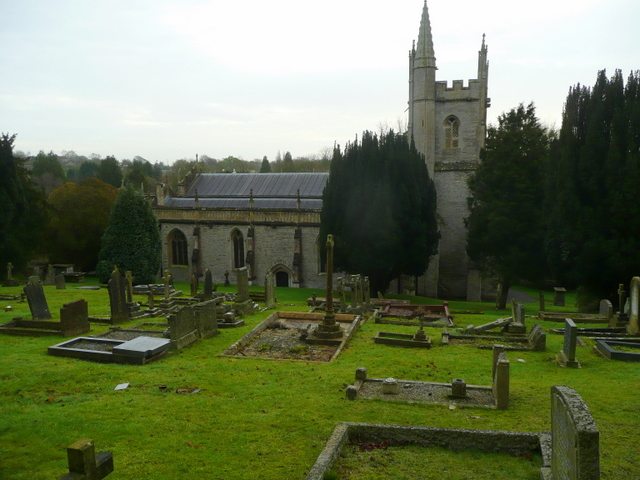
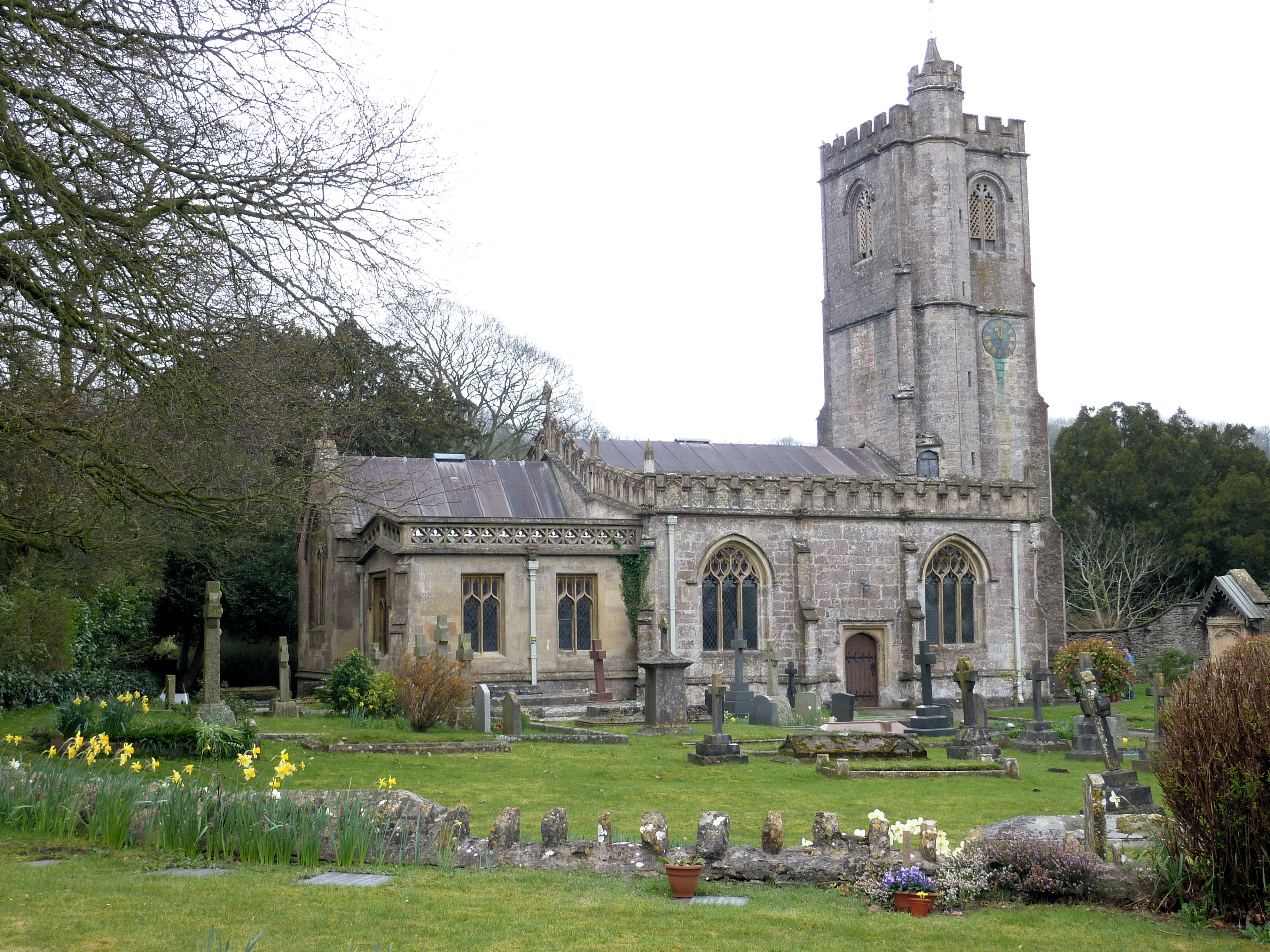
Church of St Peter, North Wootton

The Anglican Church of St Peter in North Wootton, Somerset, England was built in the 14th or 15th century. It is a Grade II* listed building. == History... ==

Pilton, Somerset

Pilton is a village and civil parish in Somerset, England, situated on the A361 road in the Mendip district, 3 miles (5 km) south-west of Shepton Mallet...

Tithe Barn, Pilton

The Tithe Barn at Cumhill Farm in Pilton, Somerset, England, was built in the 14th century as a tithe barn to hold produce for Glastonbury Abbey. It is...

Friar's Oven

Friar's Oven (grid reference ST592431) is a 4.0 hectare biological Site of Special Scientific Interest in Somerset, notified in 1989. == Sources == English...

Twinhills Woods and Meadows

Twinhills Woods and Meadows (grid reference ST558432) is a 21.2 hectare (52.4 acre) biological Site of Special Scientific Interest on the Monarch's Way...

West Pennard railway station

West Pennard railway station was a station on the Highbridge branch of the Somerset and Dorset Joint Railway. Opened on 3 February 1862, it was reduced...

Church of St Michael, Dinder

The Anglican Church of St Michael in Dinder, Somerset, England has Norman origins and was built in the 14th century before being rebuilt in the 15th. It...

Nearby Amenities

Located within 500m of 51.175505,-2.607277
Turning Circle
Lat/Long: 51.172507/-2.6050965
The data included in this document is from www.openstreetmap.org. The data is made available under ODbL.

Have you been to Folly Wood?

Leave your review of Folly Wood below (or comments, questions and feedback).