Westholme Plantation
Wood, Forest in Somerset Mendip
England
Westholme Plantation
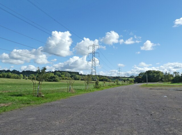
Westholme Plantation is a charming estate located in the heart of Somerset, England. Nestled amidst a lush wood and forest area, this historic property offers a serene and picturesque setting for those seeking a tranquil escape.
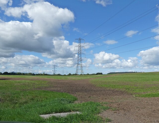
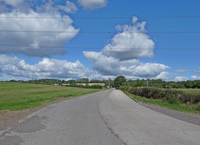
Covering an expansive area, Westholme Plantation is renowned for its natural beauty and verdant landscapes. The estate is adorned with towering trees, vibrant flora, and a variety of wildlife, making it a haven for nature enthusiasts. Visitors can explore the well-maintained walking trails that wind through the wood and forest, allowing them to immerse themselves in the breathtaking surroundings.
The plantation itself boasts a rich history, dating back several centuries. The main manor house, a stunning example of Georgian architecture, serves as the centerpiece of the estate. With its grand façade, elegant interiors, and well-preserved period features, the manor offers a glimpse into the past and provides a sense of timeless elegance.
Westholme Plantation also offers a range of facilities and amenities to ensure a comfortable stay for guests. The estate features a charming tea room, where visitors can relax and indulge in traditional English afternoon tea. Additionally, there are well-appointed guest cottages available for those who wish to extend their stay and fully immerse themselves in the tranquil surroundings.
Overall, Westholme Plantation in Somerset is a hidden gem, offering a perfect blend of natural beauty, historical charm, and modern comforts. Whether one seeks a peaceful retreat or an opportunity to explore the great outdoors, this enchanting estate is sure to leave a lasting impression.
If you have any feedback on the listing, please let us know in the comments section below.
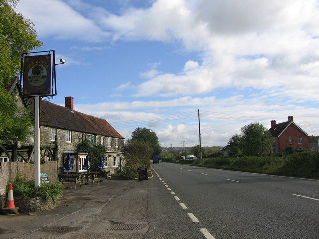
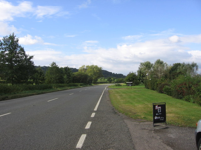
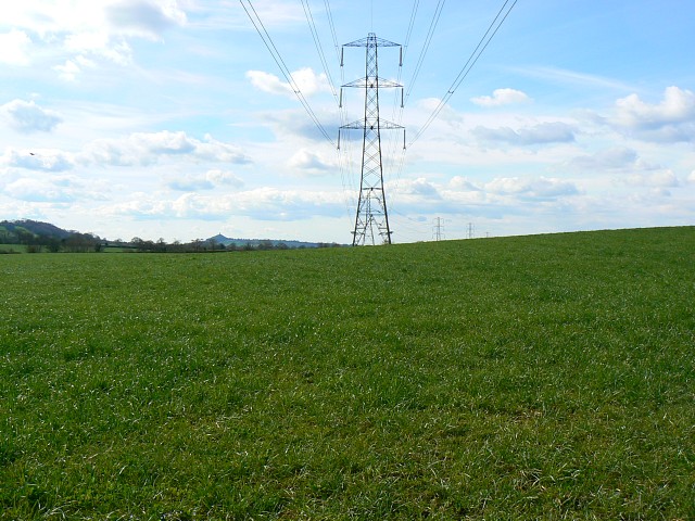
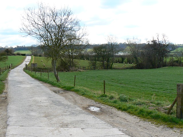
Westholme Plantation Images
Images are sourced within 2km of 51.169094/-2.6037744 or Grid Reference ST5741. Thanks to Geograph Open Source API. All images are credited.


Westholme Plantation is located at Grid Ref: ST5741 (Lat: 51.169094, Lng: -2.6037744)
Administrative County: Somerset
District: Mendip
Police Authority: Avon and Somerset
What 3 Words
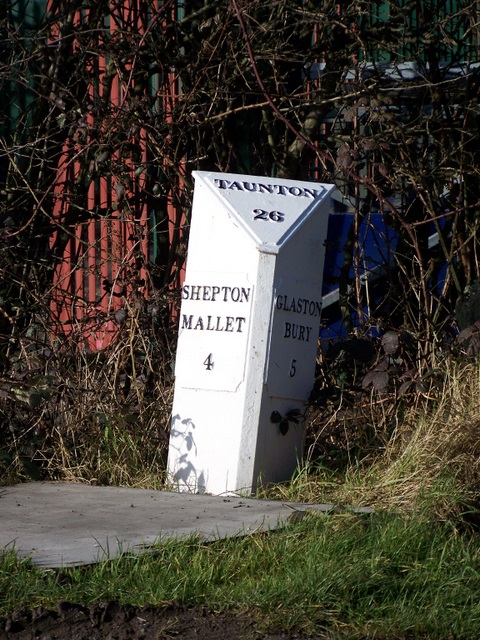
///behaving.handicaps.obtain. Near Shepton Mallet, Somerset
Nearby Locations
Related Wikis
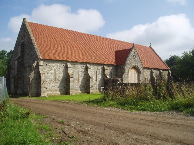
Tithe Barn, Pilton
The Tithe Barn at Cumhill Farm in Pilton, Somerset, England, was built in the 14th century as a tithe barn to hold produce for Glastonbury Abbey. It is...
Pilton, Somerset
Pilton is a village and civil parish in Somerset, England, situated on the A361 road in the Mendip district, 3 miles (5 km) south-west of Shepton Mallet...
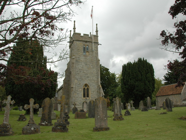
North Wootton, Somerset
North Wootton is a village and civil parish, on the River Redlake, 2.5 miles (4.0 km) south east of Wells, and 3.5 miles (5.6 km) south west of Shepton...

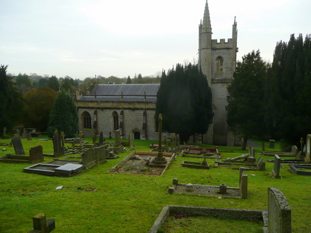
Church of St Peter, North Wootton
The Anglican Church of St Peter in North Wootton, Somerset, England was built in the 14th or 15th century. It is a Grade II* listed building. == History... ==
Nearby Amenities
Located within 500m of 51.169094,-2.6037744Have you been to Westholme Plantation?
Leave your review of Westholme Plantation below (or comments, questions and feedback).