Upper Westholme
Settlement in Somerset Mendip
England
Upper Westholme
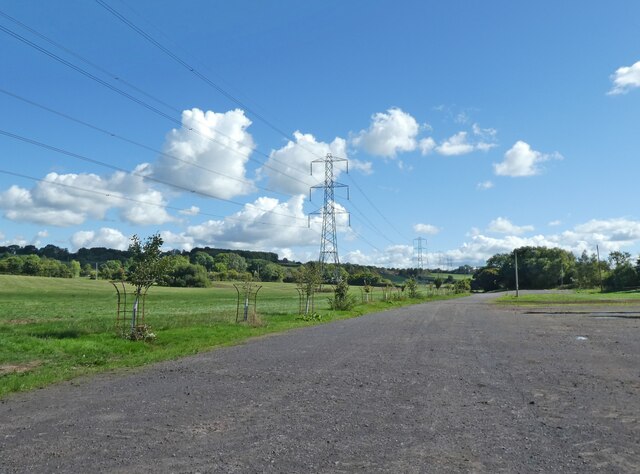
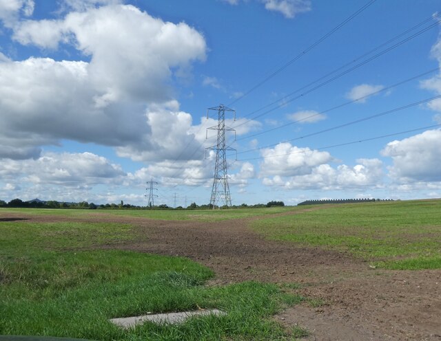
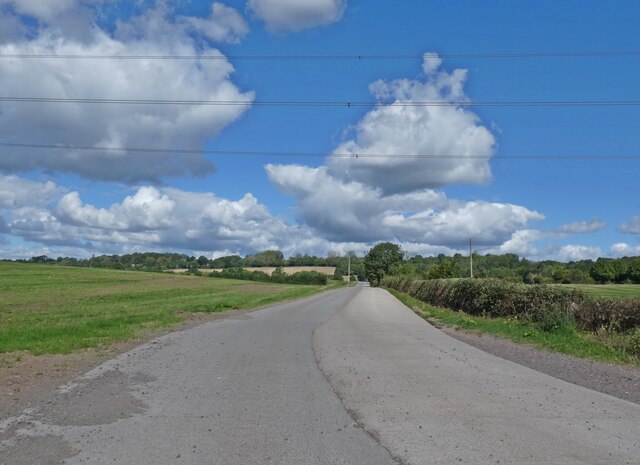
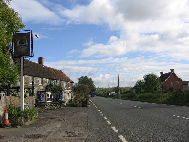
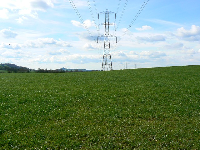
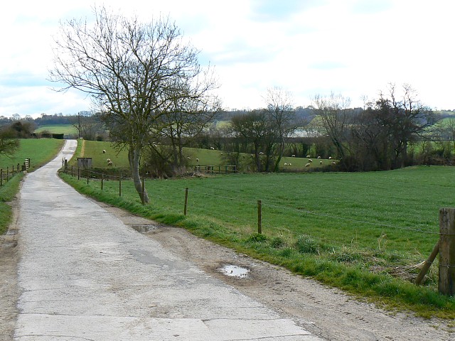
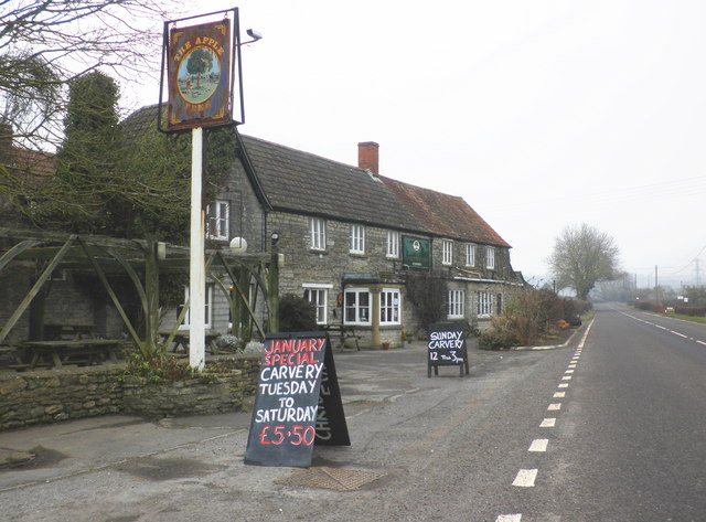
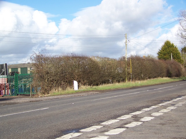
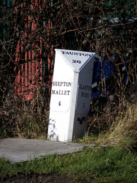
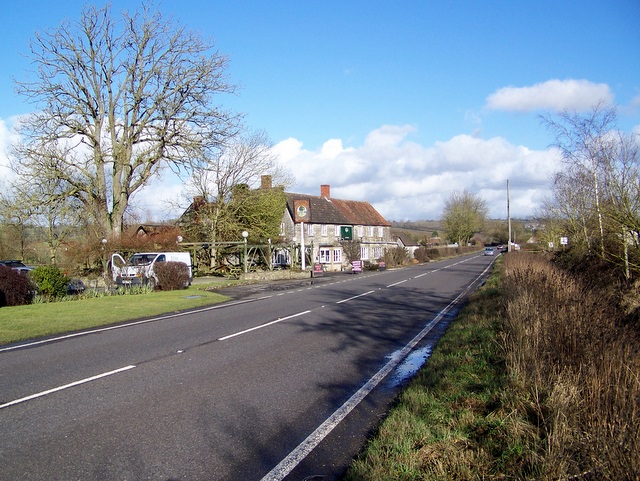
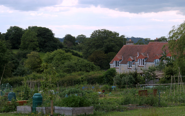
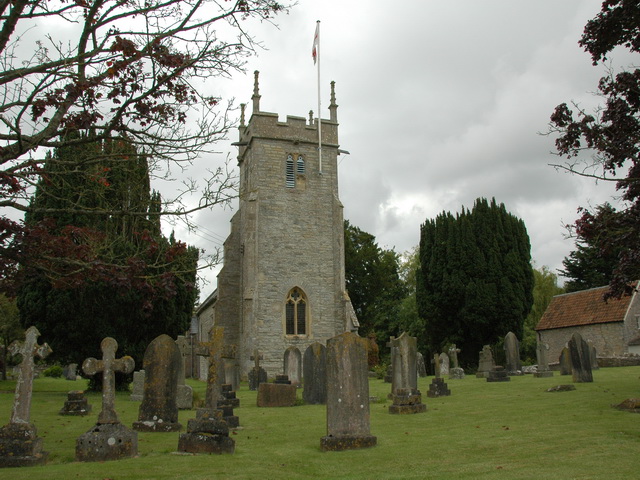
Upper Westholme is a picturesque village located in the Mendip district of Somerset, England. Situated on the southern slopes of the Mendip Hills, it is nestled between the towns of Shepton Mallet and Wells, approximately 18 miles south of Bristol. The village is surrounded by rolling countryside, offering stunning views and a tranquil atmosphere.
With a population of around 300 residents, Upper Westholme maintains a close-knit community spirit. The village is characterized by its charming stone cottages, which are complemented by beautifully manicured gardens and well-maintained public spaces. The architecture reflects the area's rich history, with some buildings dating back several centuries.
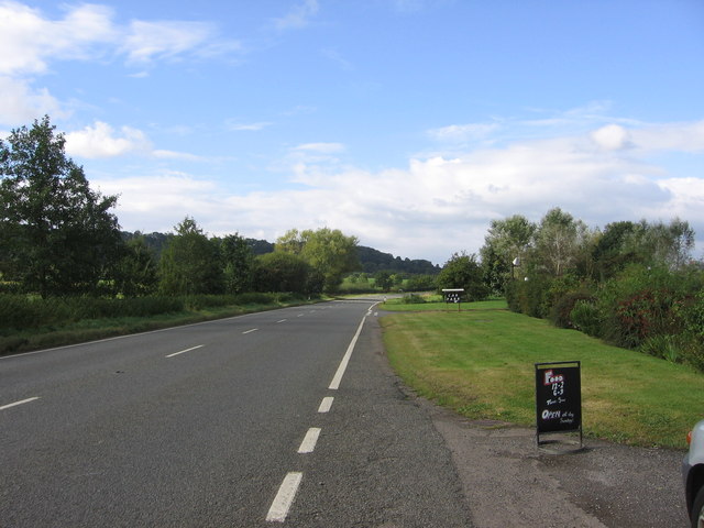
Upper Westholme is an ideal location for nature lovers and outdoor enthusiasts. The nearby Mendip Hills offer a range of walking and cycling trails, allowing residents and visitors to explore the stunning landscapes, limestone gorges, and diverse wildlife. Additionally, the village is a short distance from the popular Cheddar Gorge, a world-renowned tourist attraction.
Although Upper Westholme is a small village, it benefits from excellent transport links. The A371 road runs adjacent to the village, providing easy access to nearby towns and cities. The village is also well-served by public transportation, with regular bus services connecting it to the surrounding areas.
In terms of amenities, Upper Westholme boasts a vibrant community hall, which hosts various events and gatherings throughout the year. Nearby towns offer a wide range of services, including shops, schools, healthcare facilities, and recreational activities.
Overall, Upper Westholme offers a peaceful and idyllic setting, making it an attractive place to reside for those seeking a rural lifestyle within easy reach of amenities and natural beauty.
If you have any feedback on the listing, please let us know in the comments section below.
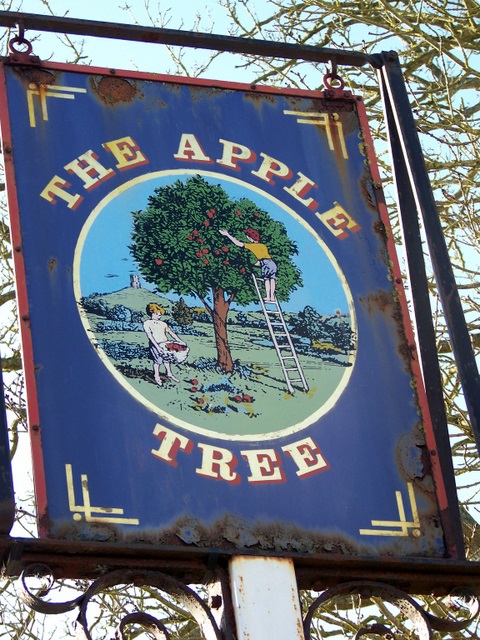
Upper Westholme Images
Images are sourced within 2km of 51.167533/-2.602827 or Grid Reference ST5741. Thanks to Geograph Open Source API. All images are credited.
Upper Westholme is located at Grid Ref: ST5741 (Lat: 51.167533, Lng: -2.602827)
Administrative County: Somerset
District: Mendip
Police Authority: Avon and Somerset
What 3 Words
///triangles.sound.sparks. Near Shepton Mallet, Somerset
Nearby Locations
Related Wikis
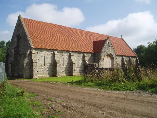
Tithe Barn, Pilton
The Tithe Barn at Cumhill Farm in Pilton, Somerset, England, was built in the 14th century as a tithe barn to hold produce for Glastonbury Abbey. It is...
Pilton, Somerset
Pilton is a village and civil parish in Somerset, England, situated on the A361 road in the Mendip district, 3 miles (5 km) south-west of Shepton Mallet...
North Wootton, Somerset
North Wootton is a village and civil parish, on the River Redlake, 2.5 miles (4.0 km) south east of Wells, and 3.5 miles (5.6 km) south west of Shepton...

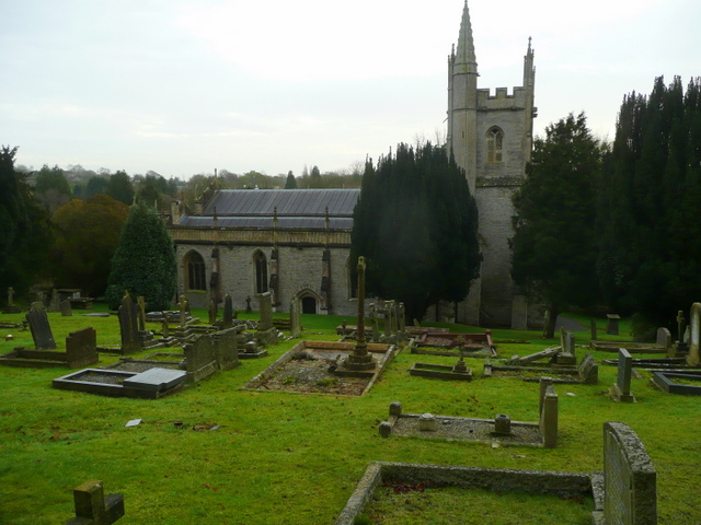
Church of St Peter, North Wootton
The Anglican Church of St Peter in North Wootton, Somerset, England was built in the 14th or 15th century. It is a Grade II* listed building. == History... ==
Worthy FM
Worthy FM is the onsite radio station of The Glastonbury Festival. It broadcasts on 87.7 MHz FM and online for one week only during the Festival, operating...

West Pennard railway station
West Pennard railway station was a station on the Highbridge branch of the Somerset and Dorset Joint Railway. Opened on 3 February 1862, it was reduced...

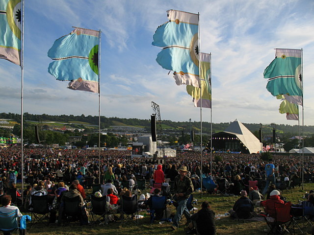
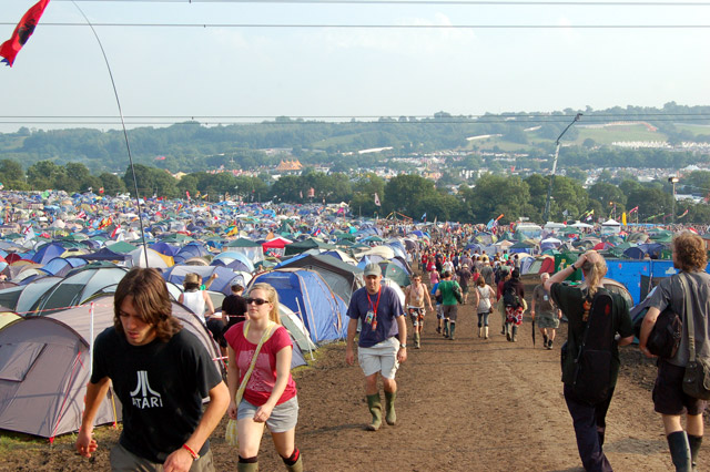
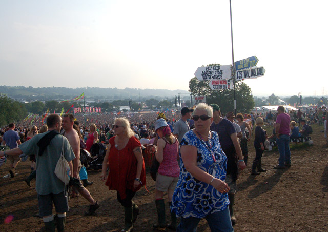
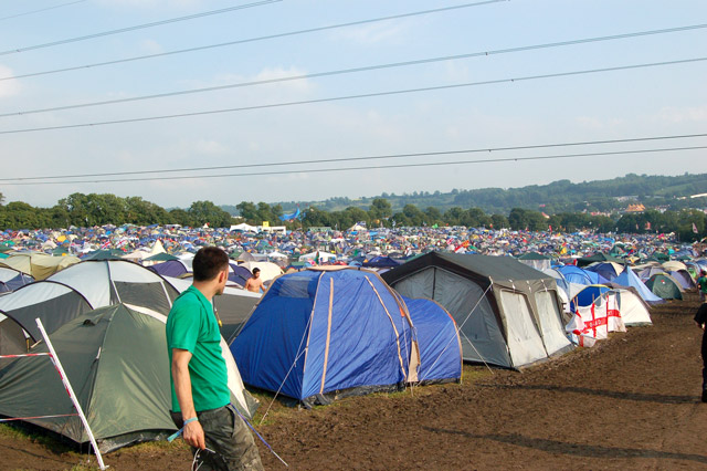
Glastonbury Festival
Glastonbury Festival (formally Glastonbury Festival of Contemporary Performing Arts and known colloquially as Glasto) is a five-day festival of contemporary...
Friar's Oven
Friar's Oven (grid reference ST592431) is a 4.0 hectare biological Site of Special Scientific Interest in Somerset, notified in 1989. == Sources == English...
Nearby Amenities
Located within 500m of 51.167533,-2.602827Have you been to Upper Westholme?
Leave your review of Upper Westholme below (or comments, questions and feedback).