Folly Wood
Wood, Forest in Gloucestershire Forest of Dean
England
Folly Wood
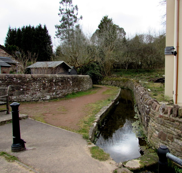
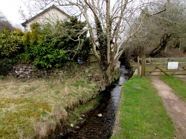
Folly Wood is a picturesque woodland area located in Gloucestershire, England. Covering an expansive area, it is nestled within the beautiful Forest of Dean. The wood is renowned for its tranquil ambiance, lush greenery, and diverse range of flora and fauna.
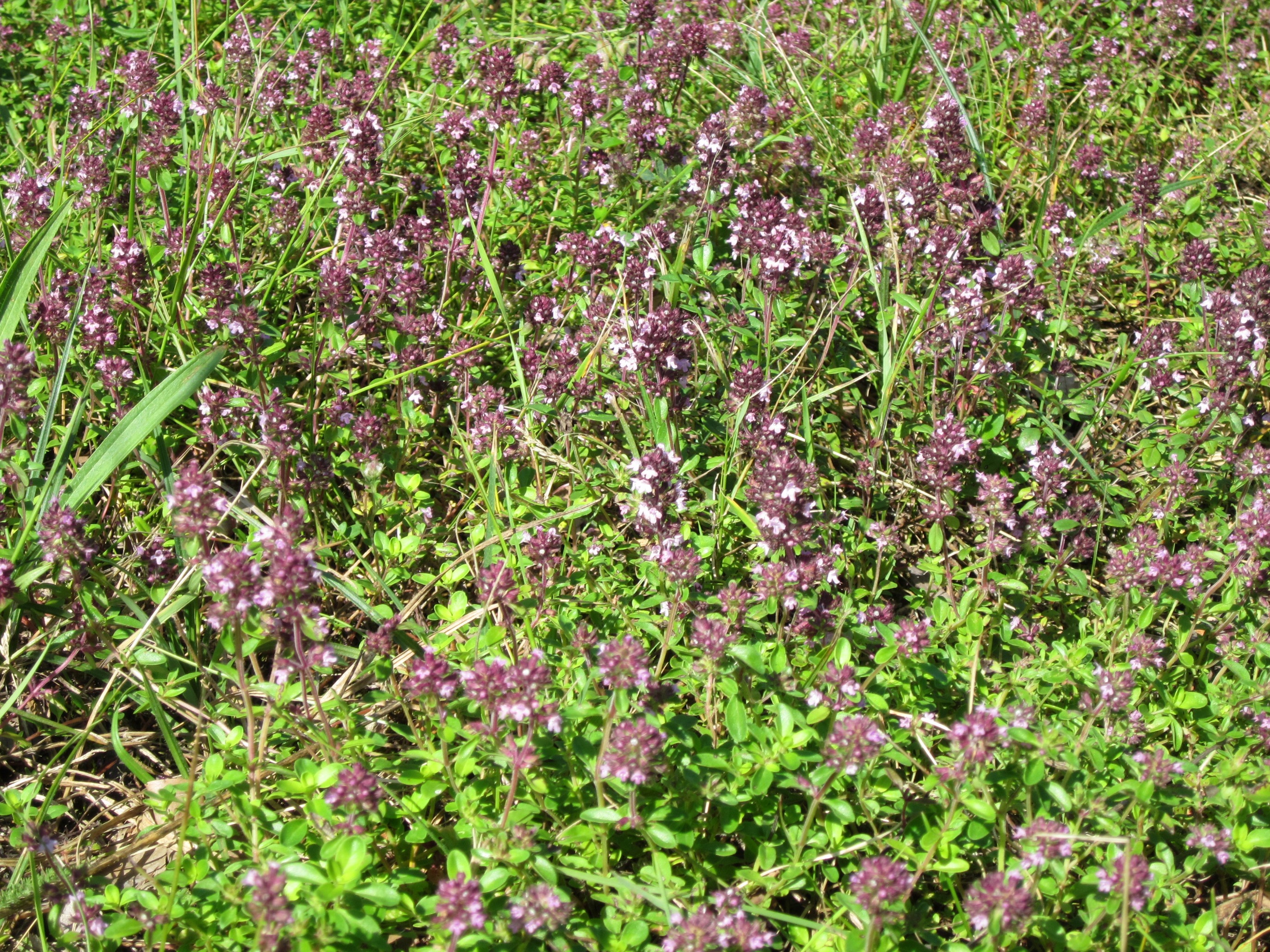
With its dense canopy of trees, Folly Wood offers a welcome retreat for nature enthusiasts and outdoor lovers. The wood is primarily composed of broadleaf trees such as oak, beech, and ash, providing a stunning display of colors during the autumn months. The forest floor is carpeted with an array of wildflowers, adding to the natural beauty of the surroundings.
Numerous walking trails wind their way through Folly Wood, allowing visitors to explore its hidden gems. These paths offer varying levels of difficulty, catering to hikers of all ages and abilities. As visitors traverse the wood, they may encounter wildlife such as deer, foxes, and a wide variety of bird species. The wood is also home to several rare plant species, making it a haven for botany enthusiasts.
In addition to its natural wonders, Folly Wood holds historical significance. There are remnants of ancient settlements and iron age forts within the forest, serving as a reminder of the area's rich cultural heritage.
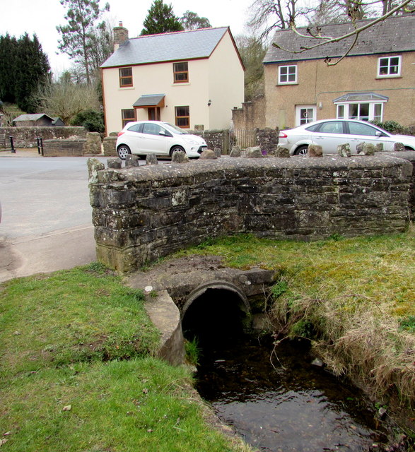
Folly Wood is easily accessible, with ample parking facilities and nearby amenities. Whether one seeks a tranquil walk amidst nature, an opportunity to observe wildlife, or a chance to explore the historical past, Folly Wood offers a delightful experience for all who visit.
If you have any feedback on the listing, please let us know in the comments section below.
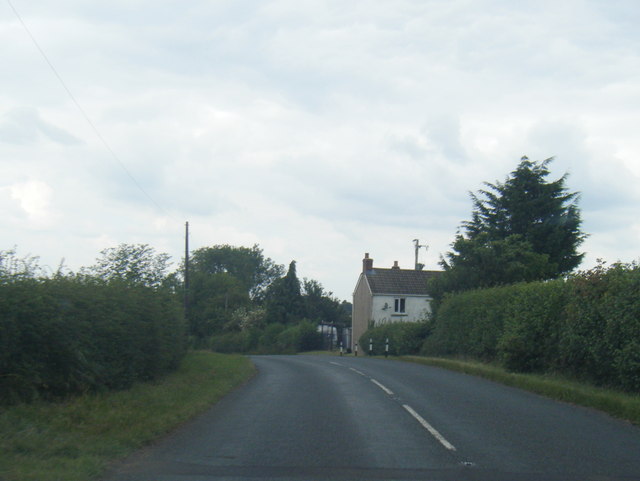
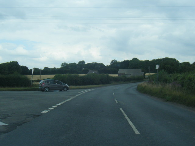
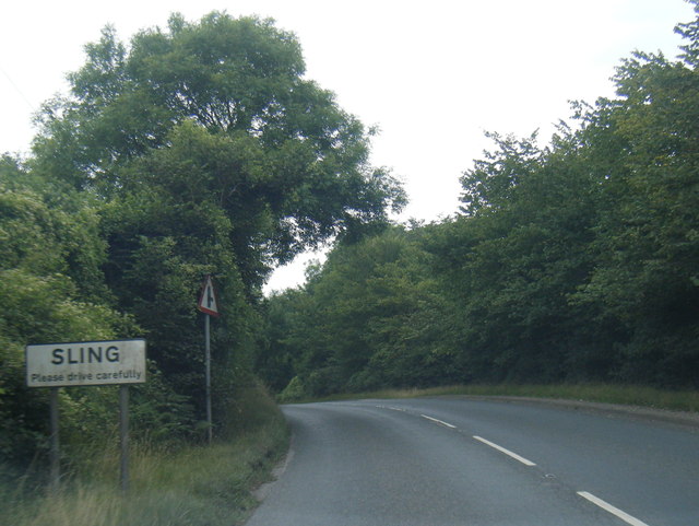
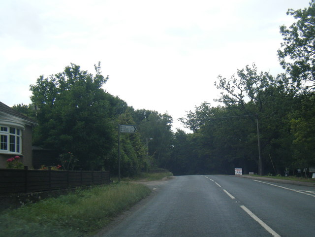
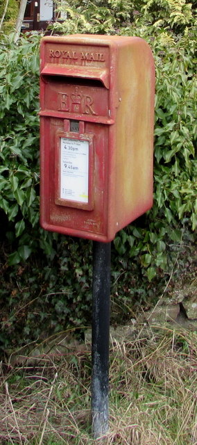
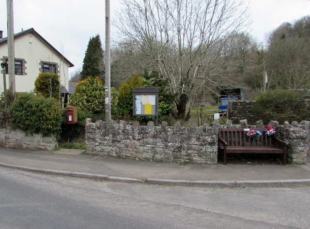
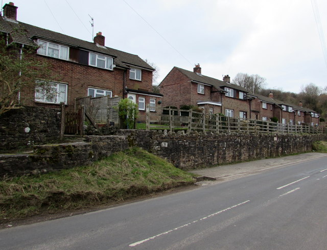
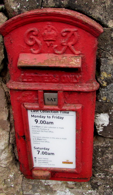
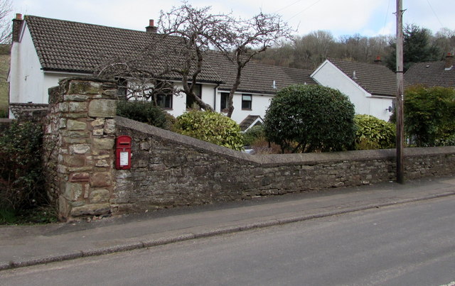
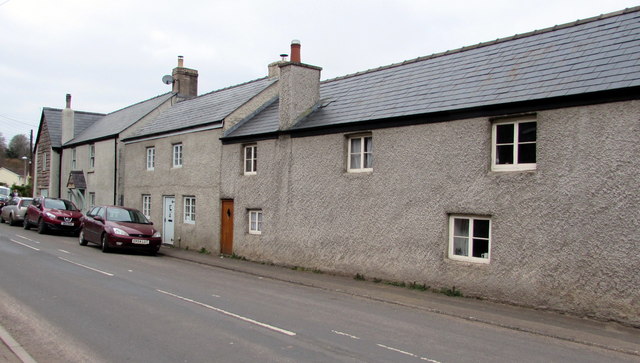
Folly Wood Images
Images are sourced within 2km of 51.766734/-2.6152971 or Grid Reference SO5707. Thanks to Geograph Open Source API. All images are credited.
Folly Wood is located at Grid Ref: SO5707 (Lat: 51.766734, Lng: -2.6152971)
Administrative County: Gloucestershire
District: Forest of Dean
Police Authority: Gloucestershire
What 3 Words
///excuse.encoding.inner. Near Coleford, Gloucestershire
Nearby Locations
Related Wikis
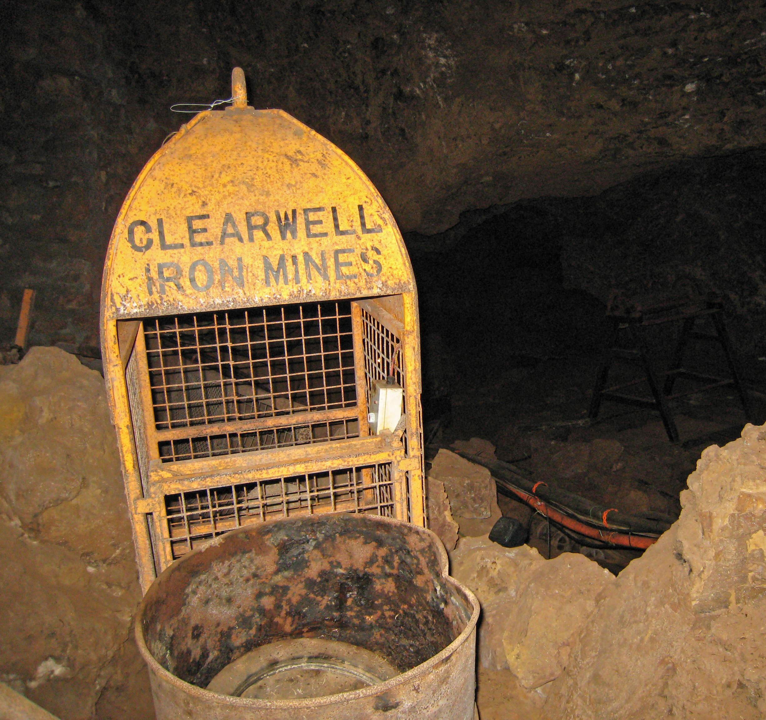
Clearwell Caves
Clearwell Caves, at Clearwell in the Forest of Dean, Gloucestershire, England, is a natural cave system which has been extensively mined for iron ore....
Tudor Farm Bank
Tudor Farm Bank (grid reference SO573081) is a 3.68-hectare (9.1-acre) biological Site of Special Scientific Interest in Gloucestershire, notified in 1999...
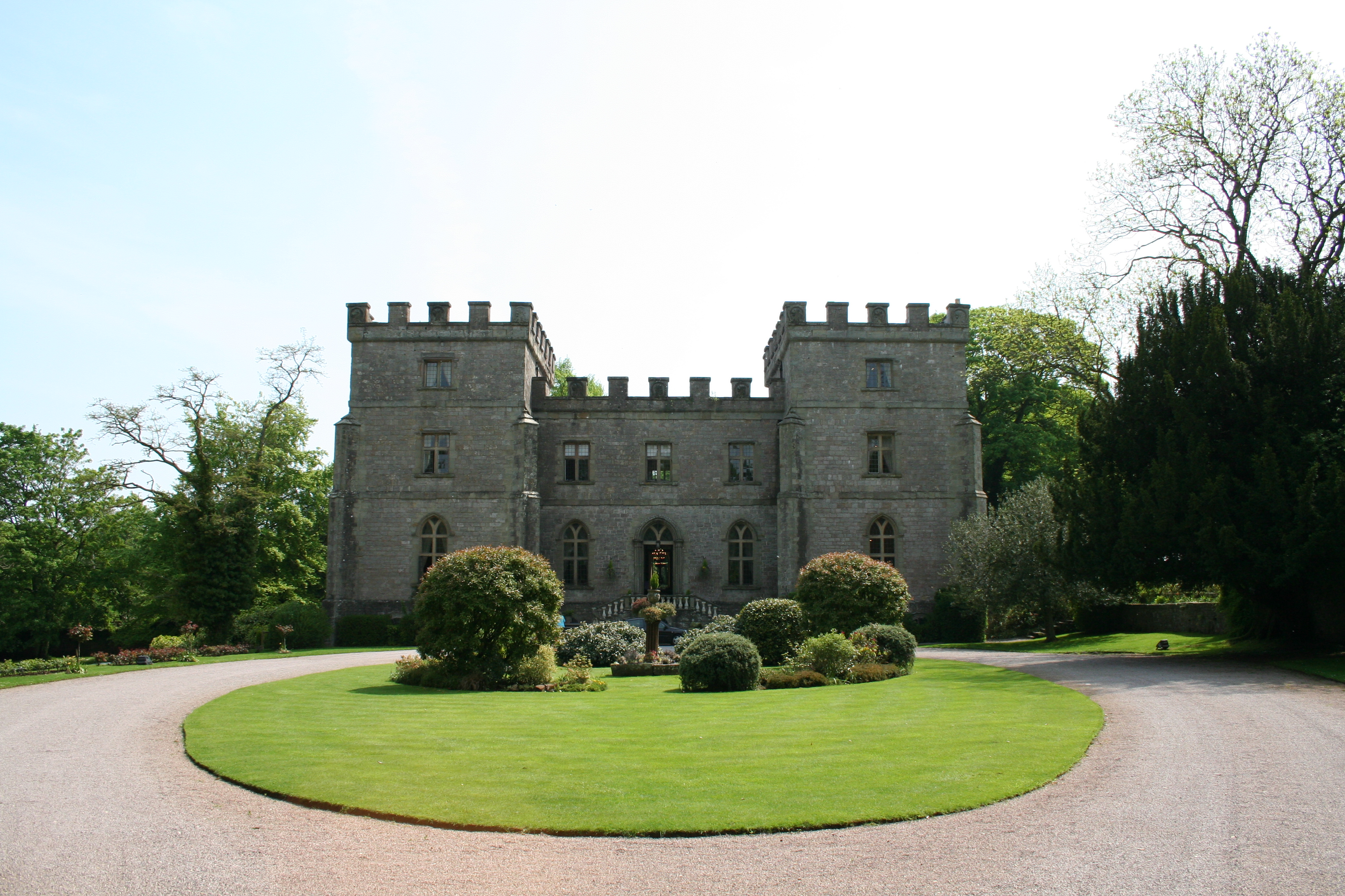
Clearwell Castle
Clearwell Castle in Clearwell, the Forest of Dean, Gloucestershire, is a Gothic Revival house constructed from 1727. Built by Thomas Wyndham to the designs...

Clearwell
Clearwell (anciently "Clower-Wall" etc.) is a village and former ancient manor in the Forest of Dean, West Gloucestershire, England. A recent survey indicated...

Sling, Gloucestershire
Sling is a village in Gloucestershire, England. The village is located between Clearwell and Bream. It is just south of the village of Milkwall. ��2�...

Old Bow and Old Ham Mines
Old Bow And Old Ham Mines (grid reference SO579088) is a 40.3-hectare (100-acre) biological Site of Special Scientific Interest in Gloucestershire, notified...

Milkwall
Milkwall is a village in the Forest of Dean in Gloucestershire, England. It lies between the village of Sling to the south, and the town of Coleford to...

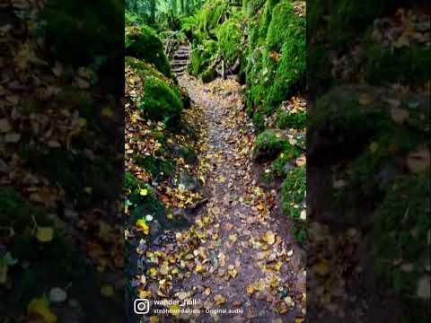
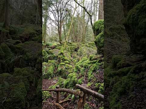
Puzzlewood
Puzzlewood (grid reference SO578092) is an ancient woodland site and tourist attraction, near Coleford in the Forest of Dean, Gloucestershire, England...
Related Videos

One of the oldest forest in UK that you must visit ! 🧚🌲 #outdoors #travel #adventures #puzzlewood
Puzzlewood is an ancient woodland located in the Forest of Dean, Gloucestershire, UK. It is renowned for its otherworldly and ...
Go get it! 😉
puzzlewoodfod #travel #europe #adventures #travelphotography #solotravel #goexplore #wonderfulplaces #travelbug ...

THE MAGICAL WOODLANDS OF PUZZLEWOOD || ENGLAND TRAVEL VLOG #magical #forestofdean #travelwithme
A great place for a walk through an enchanted woodland in the Forest of Dean - used as a filming set for Star Wars, The Huntsman ...
Nearby Amenities
Located within 500m of 51.766734,-2.6152971Have you been to Folly Wood?
Leave your review of Folly Wood below (or comments, questions and feedback).