Buddle's Wood
Wood, Forest in Somerset Mendip
England
Buddle's Wood
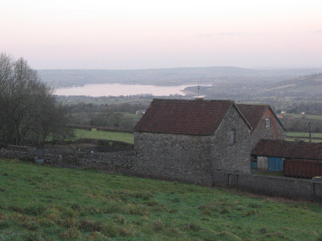
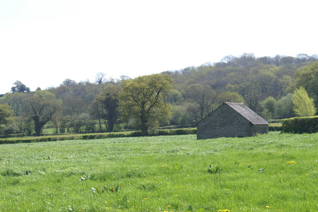
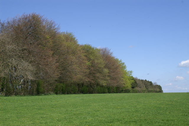
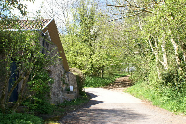
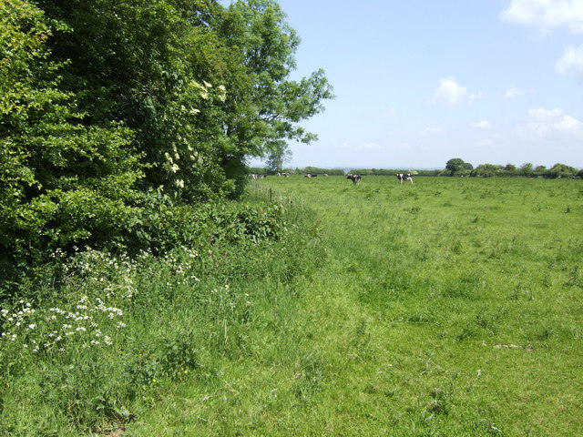
Buddle's Wood, located in Somerset, is a charming and picturesque woodland area that spans across a vast expanse. Known for its natural beauty and tranquil atmosphere, Buddle's Wood is a popular destination for nature enthusiasts and those seeking a peaceful retreat.
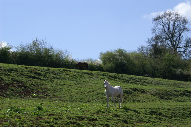
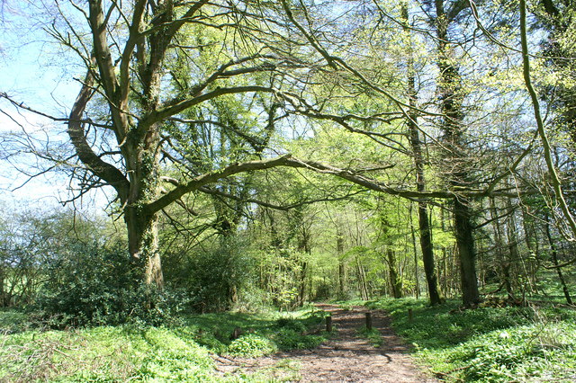
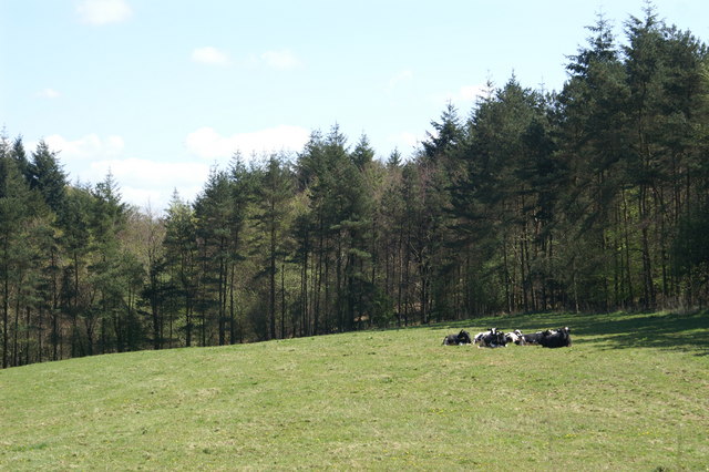
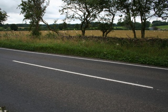
The wood is characterized by its dense coverage of various tree species, including oak, beech, and ash, which create a lush and vibrant canopy overhead. The forest floor is adorned with an array of wildflowers, ferns, and mosses, adding to the enchanting beauty of the surroundings. The diverse ecosystem supports a wide range of wildlife, including deer, foxes, badgers, and numerous bird species.
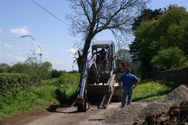
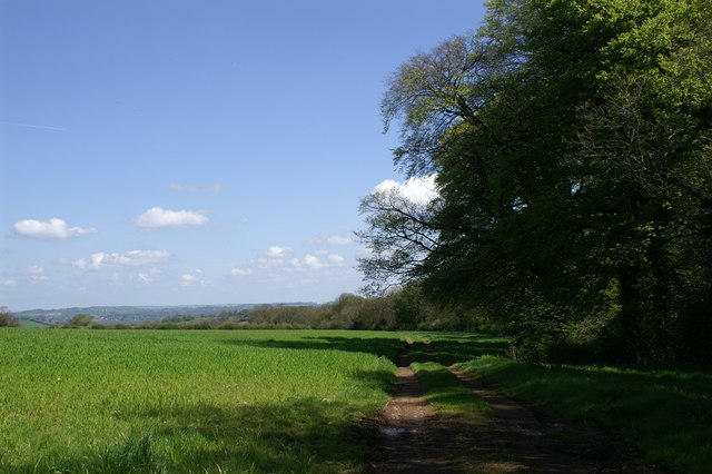
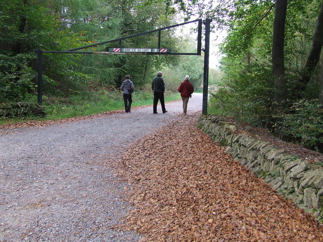
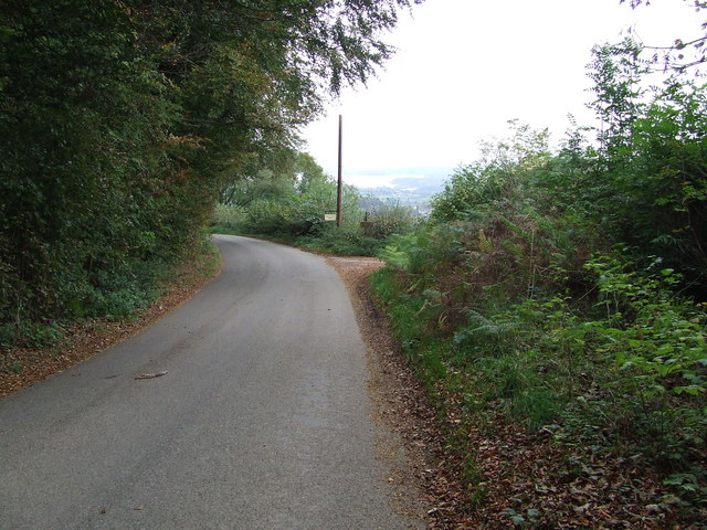
Visitors to Buddle's Wood can explore its many walking trails and footpaths, allowing them to immerse themselves in the natural wonders of the area. The peaceful ambiance and the soothing sounds of nature make it an ideal spot for birdwatching, photography, or simply finding solace in the serenity of the wood.
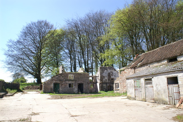
The wood has a rich history, with evidence of human activity dating back centuries. Archaeological discoveries suggest that the area was inhabited during the Bronze Age, and remnants of ancient settlements and burial sites can be found within the wood.
Buddle's Wood is open to the public throughout the year, offering a chance to experience the changing seasons and witness the beautiful display of colors during autumn. Whether it's for a leisurely stroll, a family picnic, or a day of exploration, Buddle's Wood provides a captivating and rejuvenating escape into nature.
If you have any feedback on the listing, please let us know in the comments section below.
Buddle's Wood Images
Images are sourced within 2km of 51.273583/-2.6136587 or Grid Reference ST5752. Thanks to Geograph Open Source API. All images are credited.


Buddle's Wood is located at Grid Ref: ST5752 (Lat: 51.273583, Lng: -2.6136587)
Administrative County: Somerset
District: Mendip
Police Authority: Avon and Somerset
What 3 Words
///anyone.struggle.euphoric. Near East Harptree, Somerset
Nearby Locations
Related Wikis

Attborough Swallet
Attborough Swallet (also known as Red Quar Swallet) is a cave in Chewton Mendip in Somerset, England. It is unusual for a cave on the Mendip Hills in that...
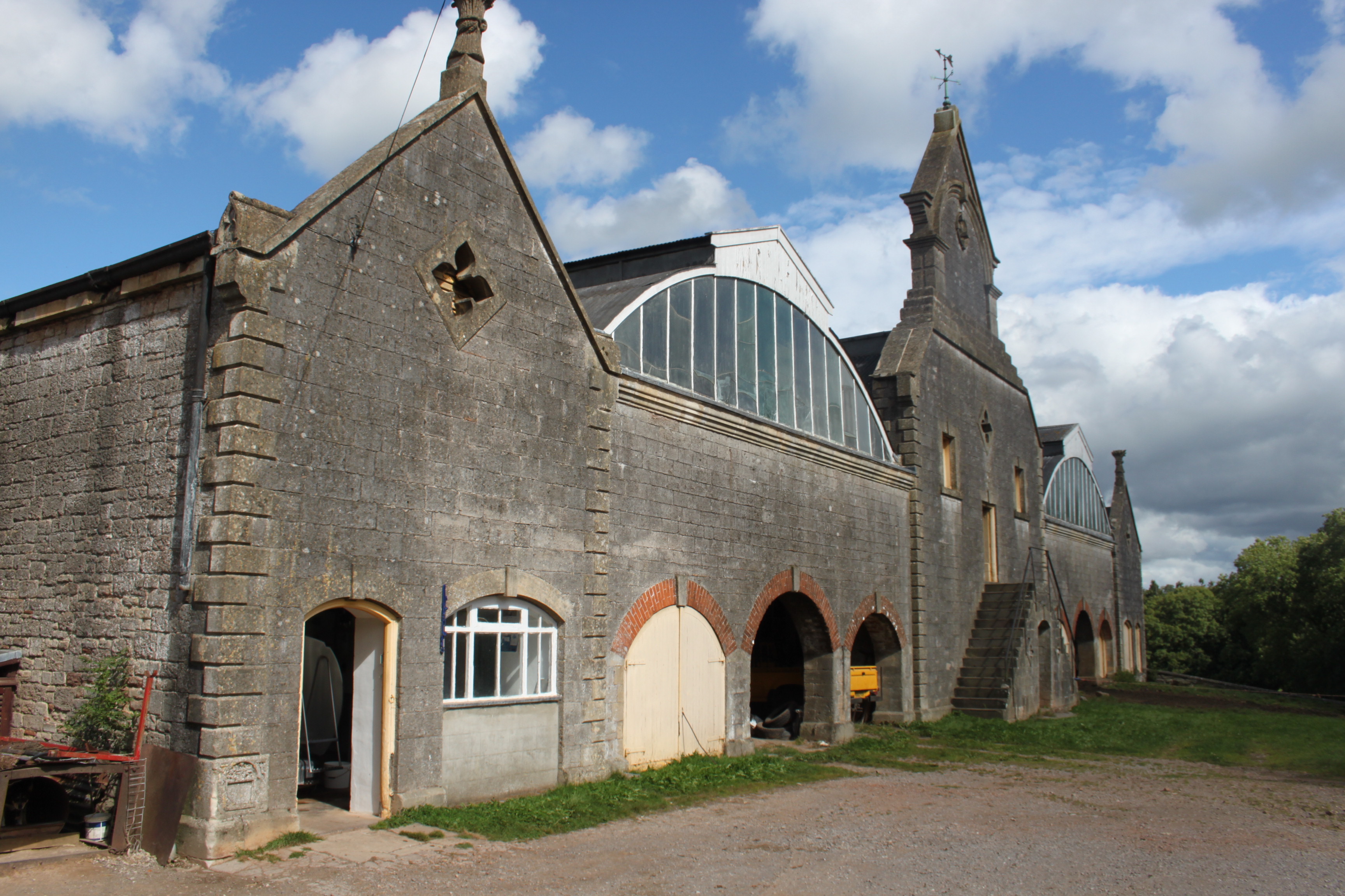
Eastwood Manor Farm Steading
Eastwood Manor Farm Steading in East Harptree, Somerset, England is a Grade I listed building.The farm including the site for the construction of Eastwood...

Eastwood Manor
Eastwood Manor is a Grade II listed building in the village of East Harptree in the English County of Somerset. == History == A house was built at Eastwood...

Smitham Chimney, East Harptree
Smitham Chimney is a chimney which was used for lead mining just outside the village of East Harptree, in the parish of Priddy, Somerset, England. It is...
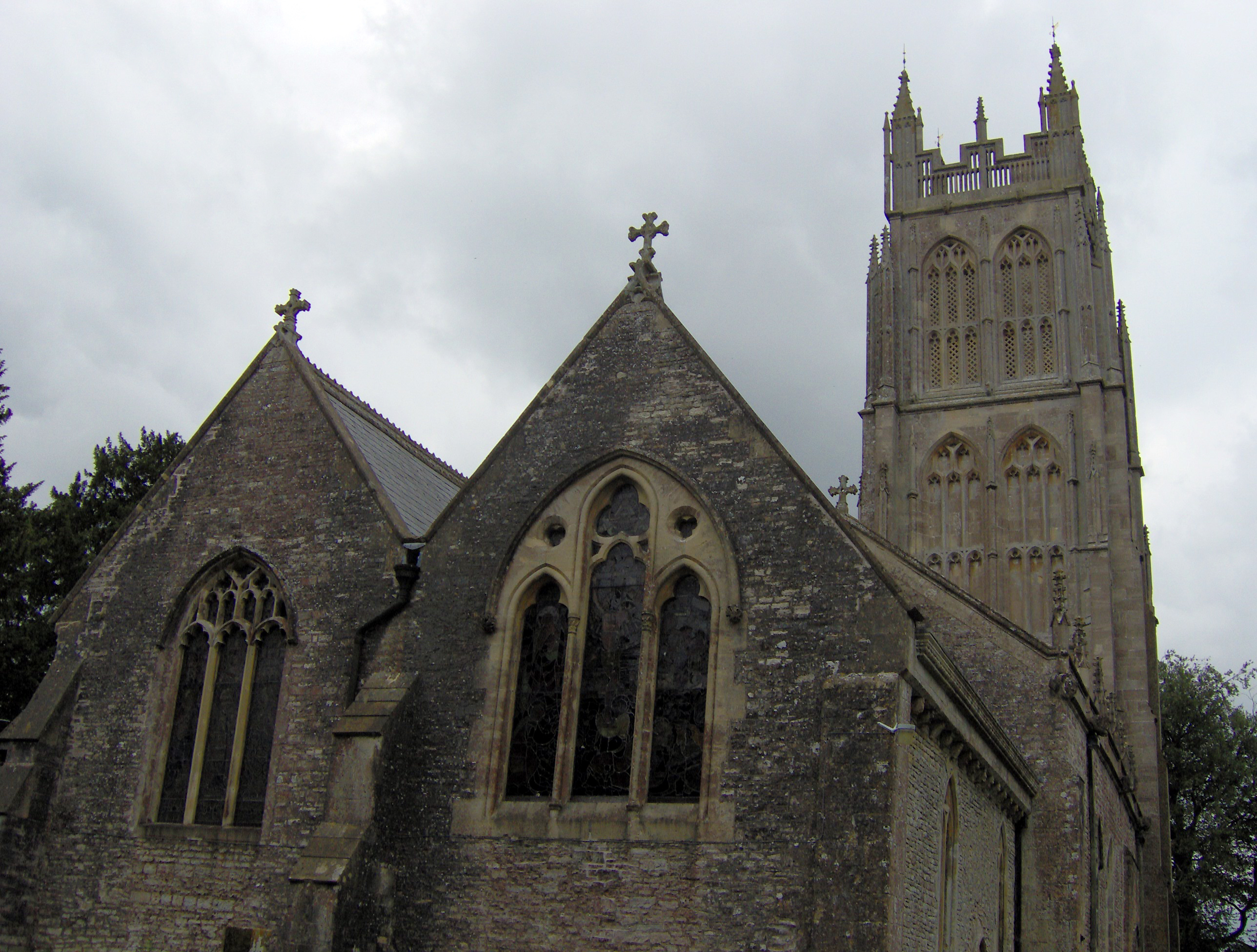
Chewton Mendip
Chewton Mendip is a village and civil parish in Somerset, England. It is situated 4 miles (6 km) north of Wells, 16 miles (26 km) south of Bath and Bristol...
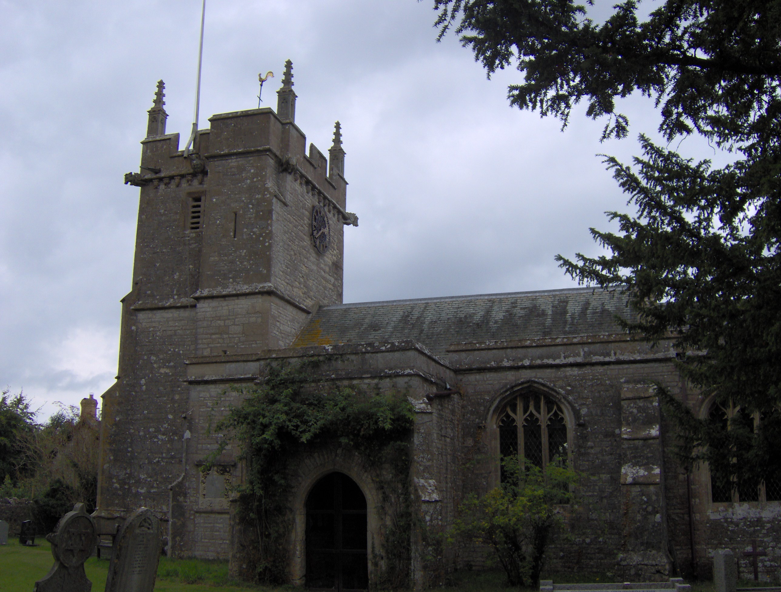
Litton, Somerset
Litton (grid reference ST593546) is a small village and civil parish between Chewton Mendip and West Harptree in the Mendip Hills, Somerset, England. The...

Priddy Mineries
Priddy Mineries (grid reference ST547515) is a nature reserve previously run by the Somerset Wildlife Trust. It is in the village of Priddy, on the Mendip...
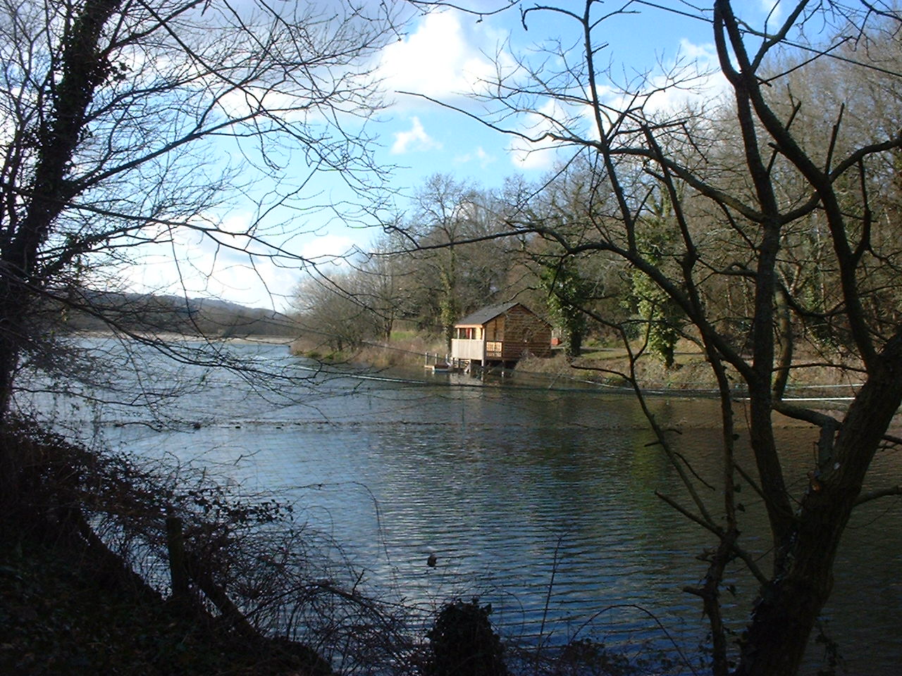
Litton Reservoirs
Litton Reservoirs (also known as Coley Reservoirs) (grid reference ST590553) are two reservoirs near the village of Litton, Somerset, England. They are...
Nearby Amenities
Located within 500m of 51.273583,-2.6136587Have you been to Buddle's Wood?
Leave your review of Buddle's Wood below (or comments, questions and feedback).