Barrowcroft Wood

Wood, Forest in Lancashire

England

Barrowcroft Wood

Standish town A busy crossroads with a difficult pull out into traffic from the car park of the Spar supermarket.
Standish town Credit: Malcolm Neal

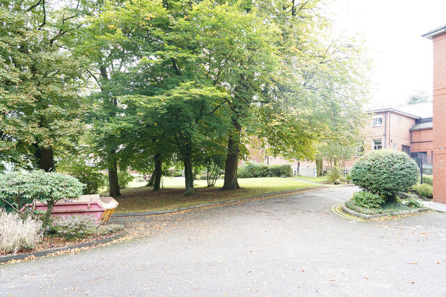
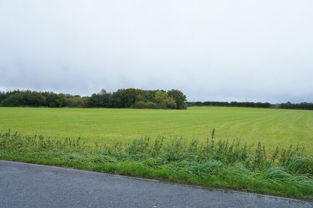
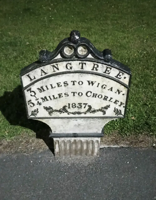
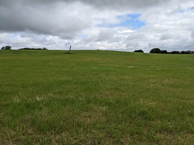
Barrowcroft Wood, located in Lancashire, England, is a serene and picturesque woodland area that spans over a vast expanse of approximately 30 acres. This enchanting forest is nestled in the heart of the Ribble Valley, providing visitors with a tranquil and immersive natural experience.

The wood is predominantly composed of deciduous trees, including oak, birch, and beech, which create a breathtaking canopy that filters sunlight and offers shelter to a diverse range of flora and fauna. In the spring, the forest floor is adorned with a vibrant carpet of bluebells, primroses, and wood anemones, creating a stunning display of colors.

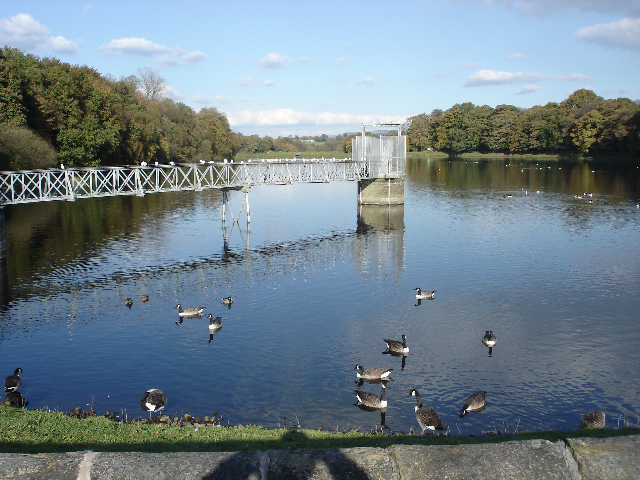
Barrowcroft Wood is a haven for wildlife enthusiasts, as it is home to numerous species of birds, including woodpeckers, owls, and finches. Visitors may also catch a glimpse of elusive mammals such as deer, foxes, and badgers, which roam freely within the wood.

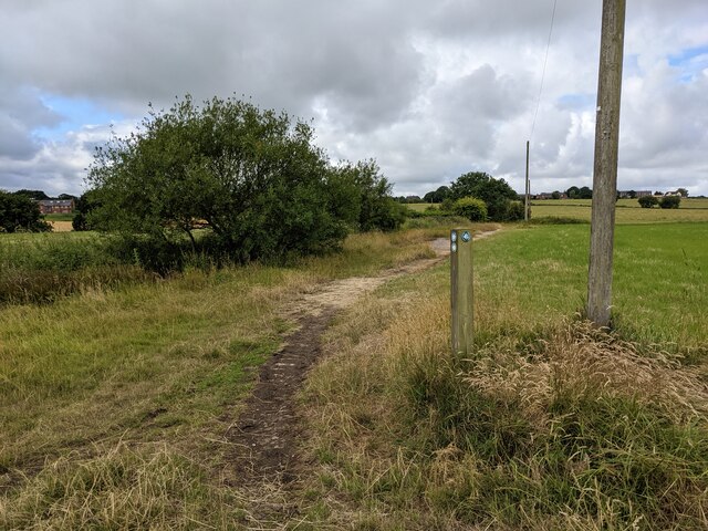
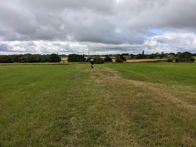
For nature lovers, the wood offers a variety of walking trails, allowing visitors to explore the natural beauty at their own pace. The trails wind through the dense foliage, crossing babbling brooks and meandering through peaceful clearings. The wood also features picnic areas and benches, providing the perfect spot to relax and soak in the serene atmosphere.

Managed by the Forestry Commission, Barrowcroft Wood is a cherished local resource for both recreational activities and conservation efforts. It is open to the public year-round and is a popular destination for walkers, families, and nature enthusiasts seeking a peaceful retreat amidst the natural beauty of Lancashire.

If you have any feedback on the listing, please let us know in the comments section below.

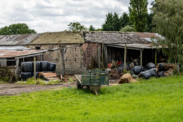
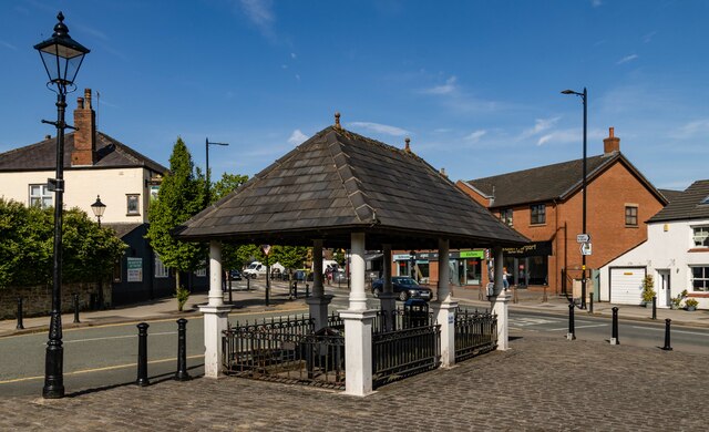
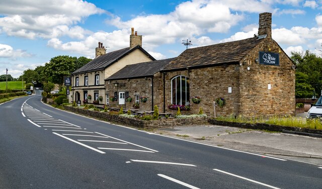
Barrowcroft Wood Images

Images are sourced within 2km of 53.59129/-2.6467521 or Grid Reference SD5710. Thanks to Geograph Open Source API. All images are credited.

Standish town A busy crossroads with a difficult pull out into traffic from the car park of the Spar supermarket.
Standish town
A busy crossroads with a difficult pull out into traffic from the car park of the Spar supermarket.
Kilhey Court Hotel This is the view from the car park towards the main building in a shower of rain.
Kilhey Court Hotel
This is the view from the car park towards the main building in a shower of rain.
A green field in the rain This might be grass in the field or an Autumn planted crop of some sort of cereal.
A green field in the rain
This might be grass in the field or an Autumn planted crop of some sort of cereal.
Cottages in the country An interesting row of cottages with one very large door which might have been a coach entrance.
Cottages in the country
An interesting row of cottages with one very large door which might have been a coach entrance.
Bradley Lane We have just passed the industrial estate and are about to enter the village of Standish.
Bradley Lane
We have just passed the industrial estate and are about to enter the village of Standish.
Standish in the fog Fire Station Road, Pole Street, junction.
Standish in the fog
Fire Station Road, Pole Street, junction.
Worthington Hall Farm buildings at Worthington Hall.
Worthington Hall
Farm buildings at Worthington Hall.
Standish Market place in Standish.
Standish
Market place in Standish.
Disused Tip Reclamation work on a disused tip at Standish.
Disused Tip
Reclamation work on a disused tip at Standish.
Standish Leisure Centre
Albert's Restaurant Restaurant in Standish.
Albert's Restaurant
Restaurant in Standish.
Old Chapel Old chapel in Standish.
Old Chapel
Old chapel in Standish.
White Crow Hotel
White Crow Hotel
Old Milepost by the A5106, Chorley Road, Standish parish Cast iron post by the A5106, in parish of STANDISH (WIGAN District), Chorley Road; Worthington; opposite junction with Devon Drive, on grassed area, on East side of road. Wigan fan iron casting, erected by the Wigan & Preston (south of Yarrow) turnpike trust in the 19th century. An earlier photograph can be found here <a title="https://www.geograph.org.uk/photo/6049856" href="https://www.geograph.org.uk/photo/6049856">Link</a>.

Inscription reads:-
LANGTREE.
3 MILES TO WIGAN.
5¼ MILES TO CHORLEY.
1837
Maker:-
HAIGH FOUNDRY

Grade II listed. 
List Entry Number: 1228467 <span class="nowrap"><a title="https://historicengland.org.uk/listing/the-list/list-entry/1228467" rel="nofollow ugc noopener" href="https://historicengland.org.uk/listing/the-list/list-entry/1228467">Link</a><img style="margin-left:2px;" alt="External link" title="External link - shift click to open in new window" src="https://s1.geograph.org.uk/img/external.png" width="10" height="10"/></span>

Milestone Society National ID: LA_WGCY03.
Old Milepost by the A5106, Chorley Road, Standish parish
Cast iron post by the A5106, in parish of STANDISH (WIGAN District), Chorley Road; Worthington; opposite junction with Devon Drive, on grassed area, on East side of road. Wigan fan iron casting, erected by the Wigan & Preston (south of Yarrow) turnpike trust in the 19th century. An earlier photograph can be found here Link. Inscription reads:- LANGTREE. 3 MILES TO WIGAN. 5¼ MILES TO CHORLEY. 1837 Maker:- HAIGH FOUNDRY Grade II listed. List Entry Number: 1228467 LinkExternal link Milestone Society National ID: LA_WGCY03.
A large field near Langtree Hall
A marker post at the path junction
A large field near Cross Farm
A grassy bridleway
A grassy bridleway
Show me another place!

Barrowcroft Wood is located at Grid Ref: SD5710 (Lat: 53.59129, Lng: -2.6467521)

Unitary Authority: Wigan

Police Authority: Greater Manchester

What 3 Words

///aviators.stewing.strikers. Near Adlington, Lancashire

Related Wikis

Standish railway station

Standish railway station is a closed railway station in Standish, England, situated where the line bridged Rectory Lane (the B5239). Standish was in the...

Worthington, Greater Manchester

Worthington is a civil parish within the Metropolitan Borough of Wigan, in Greater Manchester, England, about four miles (6.4 km) north of Wigan. The parish...

Worthington Lakes

Worthington Lakes is a series of three reservoirs in the north of the borough of Wigan, Greater Manchester (from south to north: Worthington, Arley and...

Wigan Rural District

Wigan Rural District was an administrative district in Lancashire, England from 1894 to 1974. The rural district comprised an area to the north, but did...

Nearby Amenities

Located within 500m of 53.59129,-2.6467521
Traffic Signals
Traffic Signals: bridge
Traffic Signals Direction: backward
Lat/Long: 53.588237/-2.6434834
Bus Stop
Bradley Lane/Bradley Mills
Bus: yes
Naptan AtcoCode: 1800WK06481
Naptan Bearing: W
Naptan CommonName: Bradley Lane/Bradley Mills
Naptan Indicator: Logitek
Naptan Landmark: LOGITEK
Naptan NaptanCode: manptpjw
Naptan Notes: INDICATOR AMENDED
Naptan PlusbusZoneRef: MNCRPIC
Naptan ShortCommonName: Bradley Mills
Naptan Street: BRADLEY LANE
Naptan Verified: no
Network: TfGM
Public Transport: platform
Source: naptan_import
Lat/Long: 53.5955269/-2.649185
Bus Stop
Rectory Lane/The Owls
Bus: yes
Naptan AtcoCode: 1800WK22611
Naptan Bearing: W
Naptan CommonName: Rectory Lane/The Owls
Naptan Indicator: The Owls Rest
Naptan Landmark: THE OWLS REST
Naptan NaptanCode: manpwmgj
Naptan PlusbusZoneRef: MNCRPIC
Naptan ShortCommonName: The Owls
Naptan Street: RECTORY LANE
Naptan Verified: no
Network: TfGM
Public Transport: platform
Source: naptan_import
Lat/Long: 53.5880919/-2.6477719
Bus Stop
Rectory Lane/The Owls
Bus: yes
Naptan AtcoCode: 1800WK22621
Naptan Bearing: E
Naptan CommonName: Rectory Lane/The Owls
Naptan Indicator: The Owls Opp
Naptan Landmark: THE OWLS OPP
Naptan NaptanCode: manpwmgm
Naptan PlusbusZoneRef: MNCRPIC
Naptan ShortCommonName: The Owls
Naptan Street: RECTORY LANE
Naptan Verified: no
Network: TfGM
Public Transport: platform
Source: naptan_import
Lat/Long: 53.5880441/-2.6482999
Turning Circle
Turning Circle: hammer
Lat/Long: 53.5904055/-2.6539245
Standish
Historic Railway: station
Railway: site
Wikidata: Q23070632
Wikipedia: en:Standish railway station
Lat/Long: 53.5886094/-2.6425771
Turning Circle
Turning Circle: hammer
Lat/Long: 53.5895207/-2.6527793
Turning Circle
Turning Circle: hammer
Lat/Long: 53.5896524/-2.6533682
Railway: signal
Railway Signal Direction: forward
Railway Signal Main: GB-NR:main
Railway Signal Main Design: individual
Railway Signal Main Form: light
Railway Signal Main States: red;green;yellow;flashing_yellow;double_yellow;flashing_double_yellow
Railway Signal Operator: Network Rail
Railway Signal Position: left
Ref: WN 2
Lat/Long: 53.5934804/-2.6449832
Traffic Signals
Traffic Signals: bridge
Traffic Signals Direction: forward
Lat/Long: 53.5878507/-2.6419213
Crossing
Crossing: unmarked
Crossing Island: yes
Tactile Paving: yes
Lat/Long: 53.5876958/-2.6512734
Crossing
Crossing: unmarked
Crossing Island: yes
Tactile Paving: yes
Lat/Long: 53.5878489/-2.6516311
Crossing
Crossing: unmarked
Crossing Island: yes
Tactile Paving: yes
Lat/Long: 53.587851/-2.6515673
Crossing
Crossing: pavement
Lat/Long: 53.5880101/-2.6517122
Turning Circle
Turning Circle: square
Lat/Long: 53.5891664/-2.6522715
Bench
Material: wood
Seats: 3
Lat/Long: 53.5904527/-2.6516238
The data included in this document is from www.openstreetmap.org. The data is made available under ODbL.

Have you been to Barrowcroft Wood?

Leave your review of Barrowcroft Wood below (or comments, questions and feedback).