Bendall's Grove
Wood, Forest in Somerset Mendip
England
Bendall's Grove
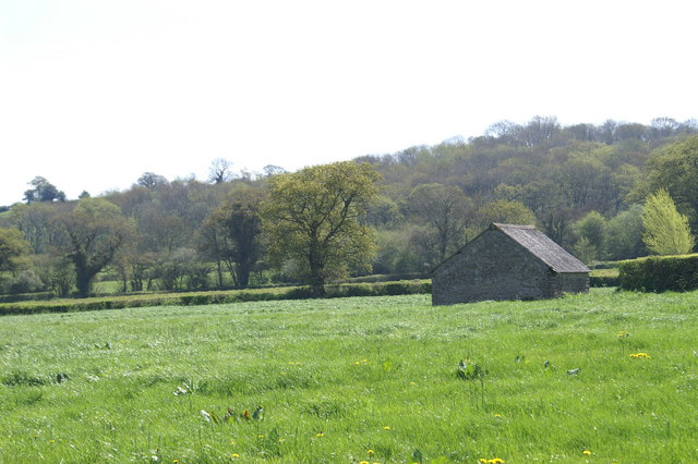
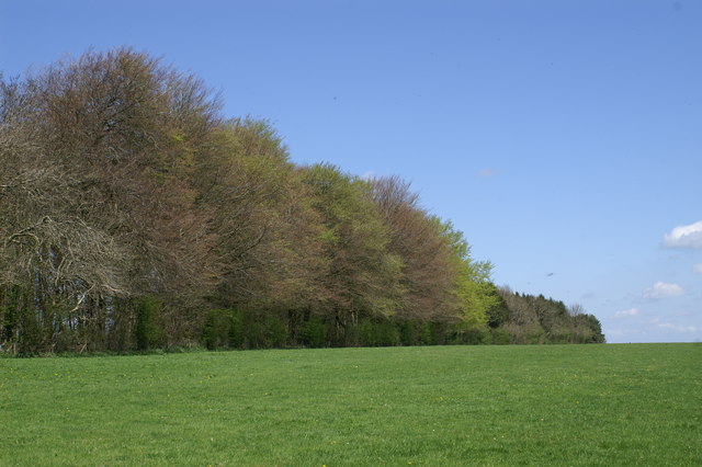
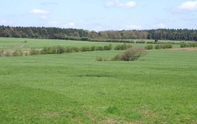
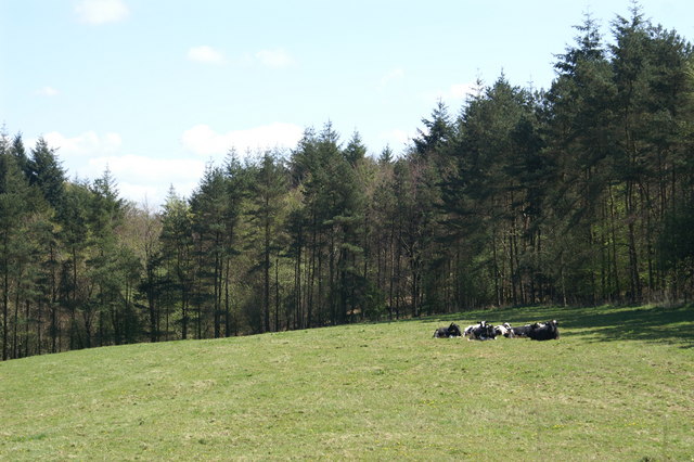
Bendall's Grove is a picturesque woodland located in Somerset, England. Situated in the heart of the county, it covers an area of approximately 100 acres and is renowned for its natural beauty and diverse ecosystem. The grove is named after the Bendall family, who have owned the land for several generations.
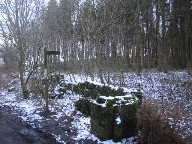
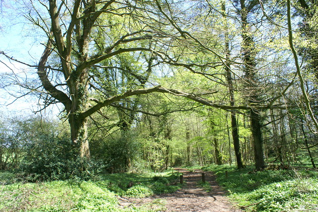
The woodland is predominantly composed of a mix of broadleaf trees, including oak, beech, and ash, which create a dense canopy that provides shade and shelter for a variety of wildlife. The forest floor is covered with a carpet of wildflowers, ferns, and mosses, adding to the enchanting atmosphere of the grove.
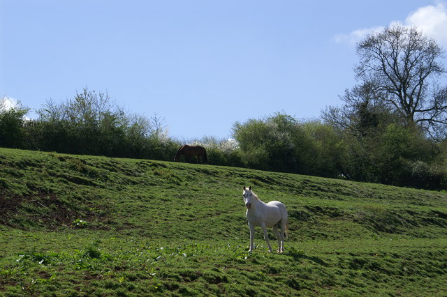
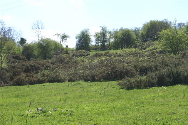
Bendall's Grove is home to numerous species of birds, including woodpeckers, owls, and songbirds, making it a popular destination for birdwatchers. Mammals such as deer, foxes, and squirrels can also be spotted within the woodland, adding to the sense of wilderness.
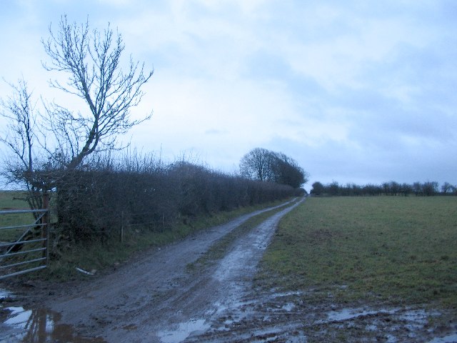
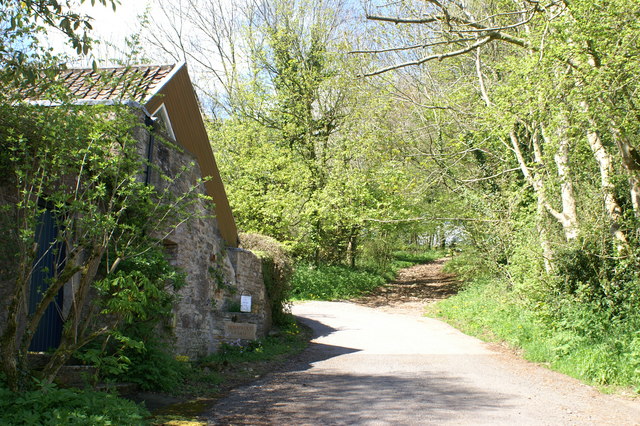
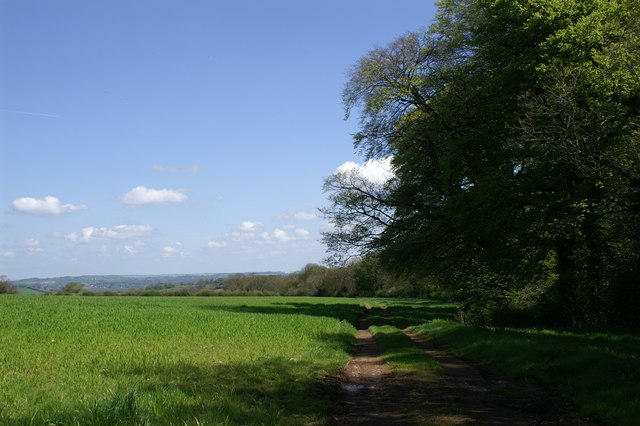
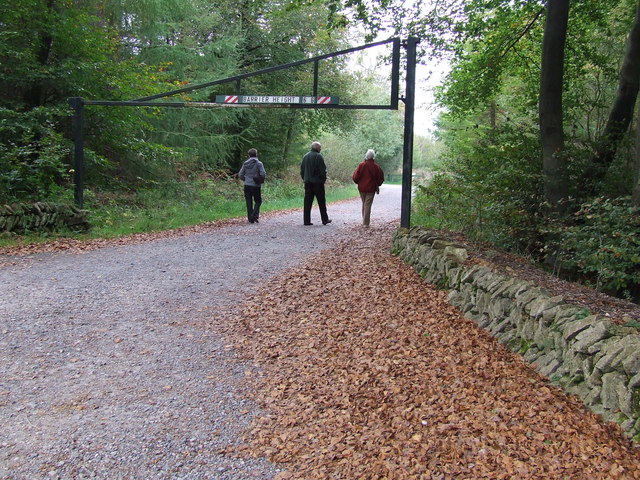
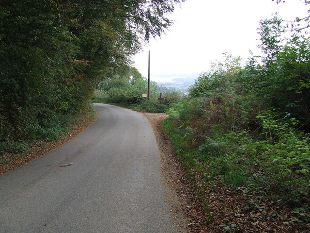
The grove is crisscrossed by a network of walking trails, allowing visitors to explore its natural wonders. These paths meander through the trees, leading to hidden clearings and peaceful ponds. The grove also boasts a small picnic area where visitors can relax and enjoy the tranquil surroundings.
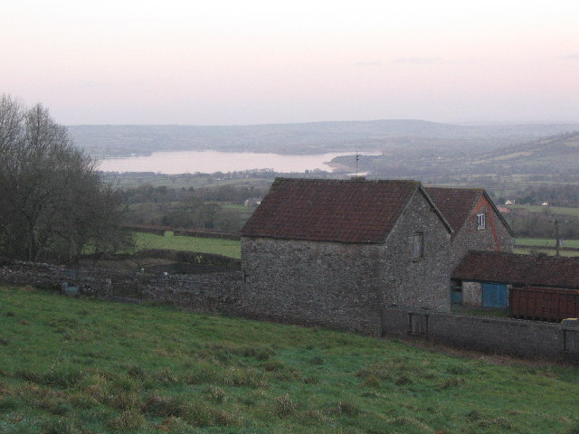
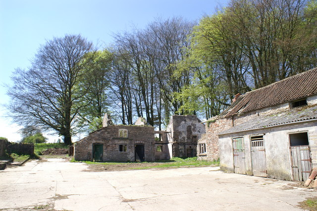
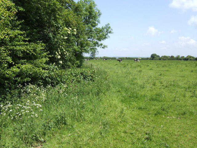
In addition to its natural beauty, Bendall's Grove has a rich cultural history. It is said to have inspired several local artists and writers, who found inspiration in its serene atmosphere. The grove is also home to a small wooden cabin, built by the Bendall family, which serves as a visitor center and provides information about the woodland's history and ecology.
Overall, Bendall's Grove is a haven of tranquility and natural splendor, offering visitors the opportunity to immerse themselves in the beauty of Somerset's woodlands.
If you have any feedback on the listing, please let us know in the comments section below.
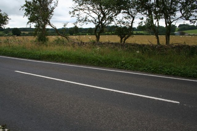
Bendall's Grove Images
Images are sourced within 2km of 51.27297/-2.6173634 or Grid Reference ST5752. Thanks to Geograph Open Source API. All images are credited.
Bendall's Grove is located at Grid Ref: ST5752 (Lat: 51.27297, Lng: -2.6173634)
Administrative County: Somerset
District: Mendip
Police Authority: Avon and Somerset
What 3 Words
///takeovers.summaries.trickster. Near East Harptree, Somerset
Nearby Locations
Related Wikis

Attborough Swallet
Attborough Swallet (also known as Red Quar Swallet) is a cave in Chewton Mendip in Somerset, England. It is unusual for a cave on the Mendip Hills in that...

Smitham Chimney, East Harptree
Smitham Chimney is a chimney which was used for lead mining just outside the village of East Harptree, in the parish of Priddy, Somerset, England. It is...

Eastwood Manor
Eastwood Manor is a Grade II listed building in the village of East Harptree in the English County of Somerset. == History == A house was built at Eastwood...
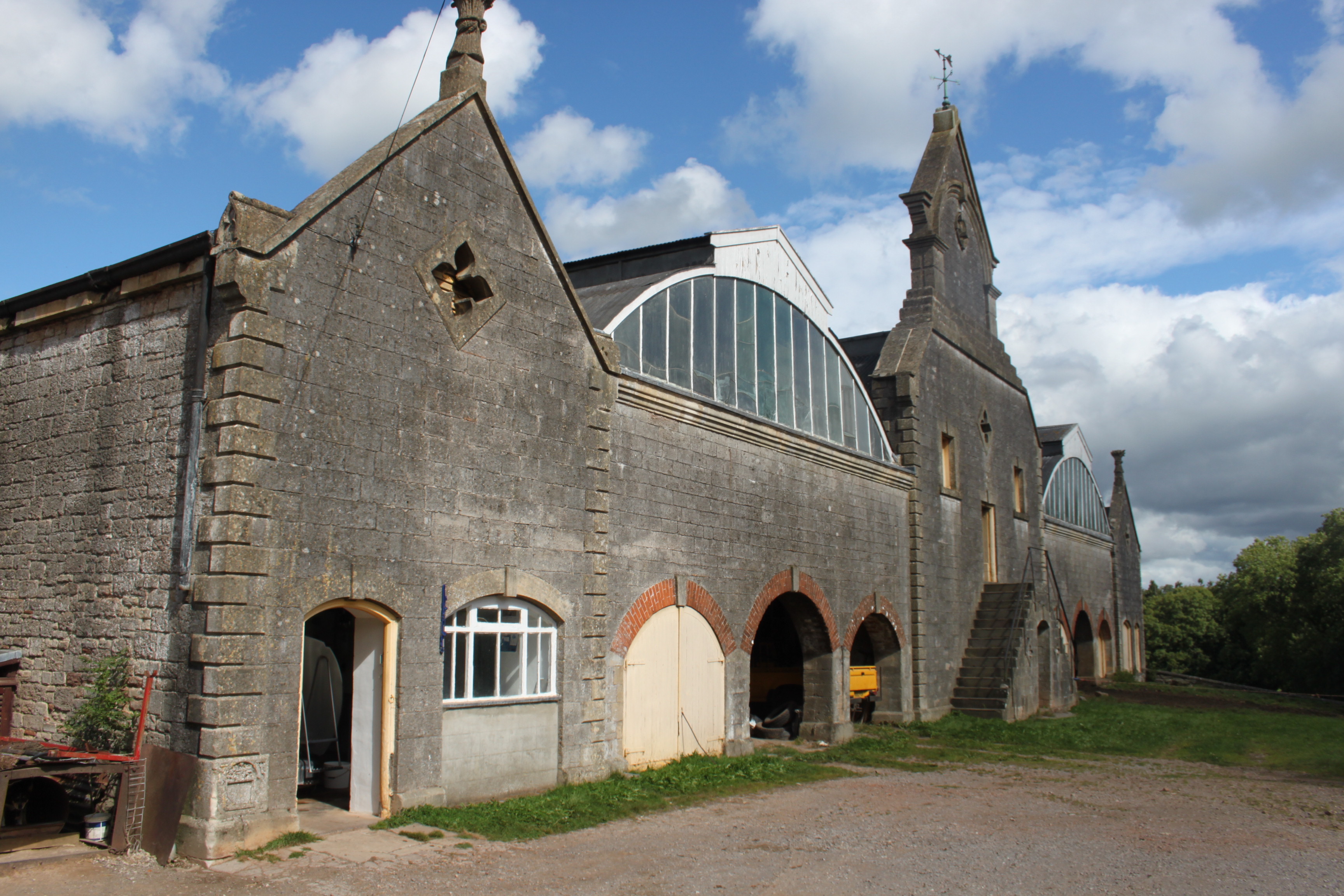
Eastwood Manor Farm Steading
Eastwood Manor Farm Steading in East Harptree, Somerset, England is a Grade I listed building.The farm including the site for the construction of Eastwood...

Priddy Mineries
Priddy Mineries (grid reference ST547515) is a nature reserve previously run by the Somerset Wildlife Trust. It is in the village of Priddy, on the Mendip...

Stock Hill
Stock Hill (grid reference ST5551) is a Forestry Commission plantation on the Mendip Hills, Somerset, England. It lies to the south of the B3135 which...
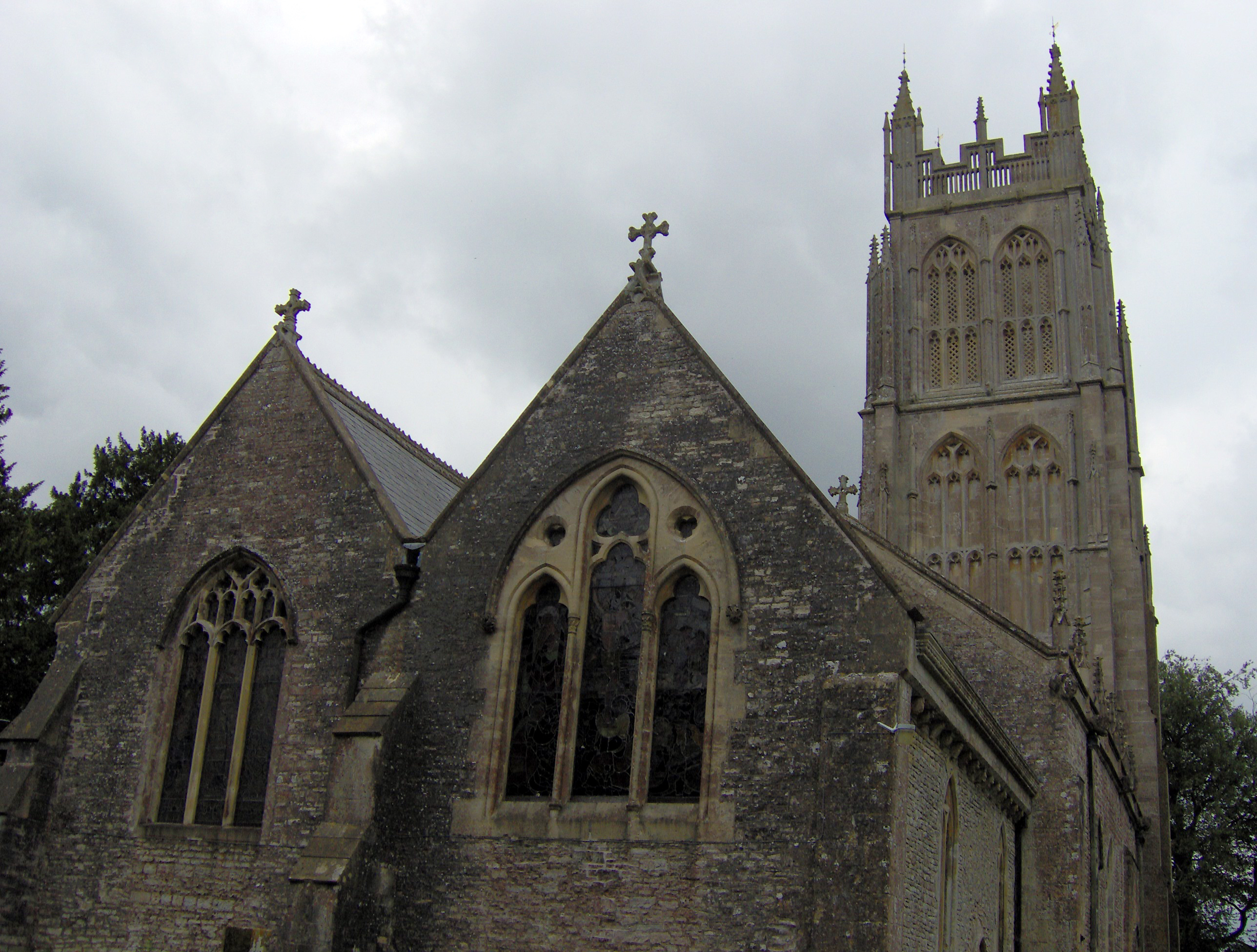
Chewton Mendip
Chewton Mendip is a village and civil parish in Somerset, England. It is situated 4 miles (6 km) north of Wells, 16 miles (26 km) south of Bath and Bristol...

Wurt Pit and Devil's Punchbowl
Wurt Pit and Devil's Punchbowl (grid reference ST543537) is a 0.2 hectare (0.5 acre) geological Site of Special Scientific Interest between East Harptree...
Nearby Amenities
Located within 500m of 51.27297,-2.6173634Have you been to Bendall's Grove?
Leave your review of Bendall's Grove below (or comments, questions and feedback).