Bishop's Ponds
Lake, Pool, Pond, Freshwater Marsh in Somerset Mendip
England
Bishop's Ponds

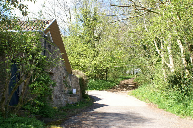
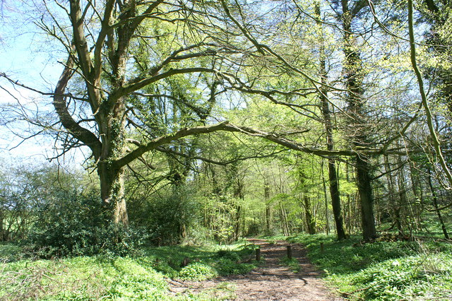
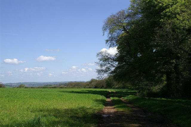
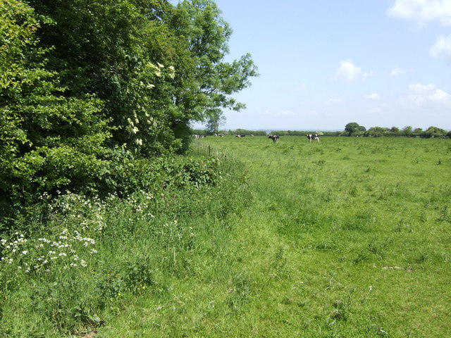
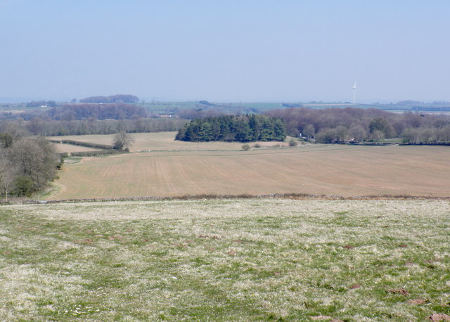
Bishop's Ponds is a picturesque freshwater ecosystem located in Somerset, England. The ponds are a collection of interconnected lakes, pools, ponds, and freshwater marshes that cover an area of approximately 50 acres. Nestled within the rolling countryside, the site is surrounded by lush vegetation and offers a tranquil retreat for both wildlife and visitors alike.
The ponds are fed by natural springs and rainfall, ensuring a constant supply of freshwater. The water is crystal clear and supports a diverse range of aquatic life. Visitors can expect to see a variety of fish species, including roach, perch, and pike, as well as numerous amphibians, such as frogs and newts.
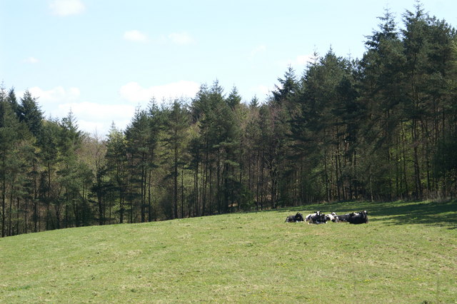
The surrounding marshland is an important habitat for a wide range of bird species. Sightings of herons, kingfishers, and various waterfowl are common, making the ponds a popular spot for birdwatching enthusiasts. The marshes are also home to an array of plant life, including reeds, water lilies, and various marsh grasses.
For outdoor enthusiasts, Bishop's Ponds offers several activities, including fishing, boating, and nature walks. The calm, serene atmosphere provides the perfect setting for a leisurely stroll along the water's edge or a peaceful picnic on the banks. Additionally, the site has designated areas for wildlife observation, allowing visitors to appreciate the natural beauty and biodiversity of the area.
Bishop's Ponds is a true gem in the heart of Somerset, offering a unique and valuable habitat for both wildlife and humans to enjoy. Whether one seeks relaxation, recreation, or simply a connection with nature, this freshwater ecosystem is sure to provide a memorable experience.
If you have any feedback on the listing, please let us know in the comments section below.
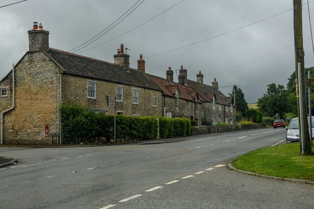
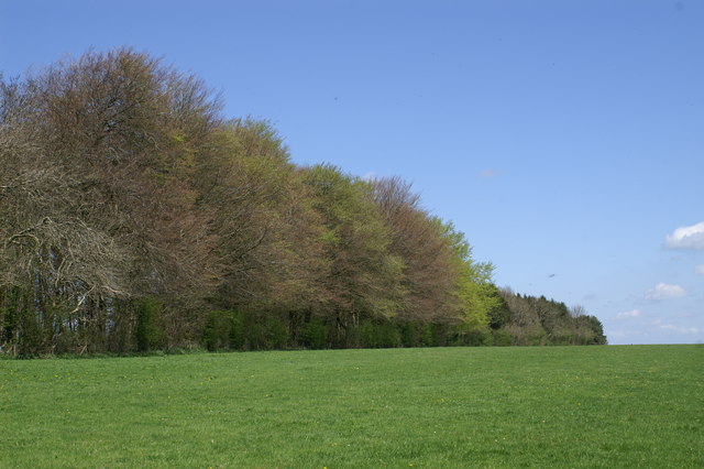
Bishop's Ponds Images
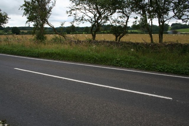
Images are sourced within 2km of 51.266033/-2.6148194 or Grid Reference ST5752. Thanks to Geograph Open Source API. All images are credited.
Bishop's Ponds is located at Grid Ref: ST5752 (Lat: 51.266033, Lng: -2.6148194)
Administrative County: Somerset
District: Mendip
Police Authority: Avon and Somerset
What 3 Words
///logic.basically.printing. Near Mendip, Somerset
Nearby Locations
Related Wikis

Attborough Swallet
Attborough Swallet (also known as Red Quar Swallet) is a cave in Chewton Mendip in Somerset, England. It is unusual for a cave on the Mendip Hills in that...

Stock Hill
Stock Hill (grid reference ST5551) is a Forestry Commission plantation on the Mendip Hills, Somerset, England. It lies to the south of the B3135 which...

Priddy Mineries
Priddy Mineries (grid reference ST547515) is a nature reserve previously run by the Somerset Wildlife Trust. It is in the village of Priddy, on the Mendip...
Drove Cottage Henge
Drove Cottage Henge (sometimes called Hunter's Lodge Henge) is a scheduled monument in the Priddy parish of Somerset, England. It is located 370 metres...
Chewton Mendip
Chewton Mendip is a village and civil parish in Somerset, England. It is situated 4 miles (6 km) north of Wells, 16 miles (26 km) south of Bath and Bristol...

Priddy Pools
Priddy Pools (grid reference ST545510) is a 52.7-hectare (130-acre) geological Site of Special Scientific Interest at Priddy in the Mendip Hills, Somerset...

Smitham Chimney, East Harptree
Smitham Chimney is a chimney which was used for lead mining just outside the village of East Harptree, in the parish of Priddy, Somerset, England. It is...
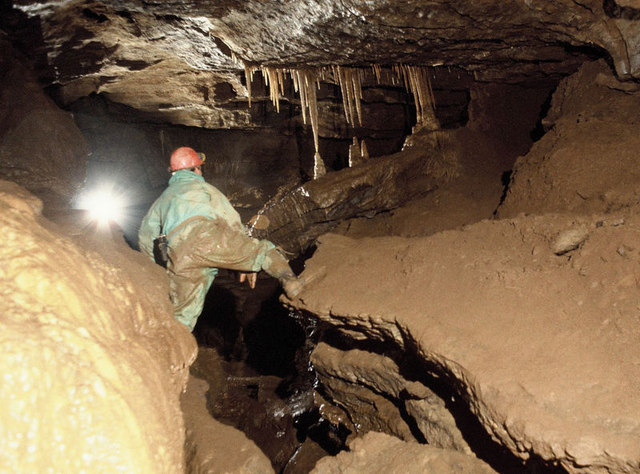
St Cuthbert's Swallet
St Cuthbert's Swallet is the second longest, and most complex, cave on the Mendip Hills, in Somerset, England. It forms a major part of the Priddy Caves...
Have you been to Bishop's Ponds?
Leave your review of Bishop's Ponds below (or comments, questions and feedback).