Tarnhouse Tarn

Lake, Pool, Pond, Freshwater Marsh in Westmorland South Lakeland

England

Tarnhouse Tarn

Scout Hill masts
Scout Hill masts Credit: shikari

Tarnhouse Tarn, located in Westmorland, England, is a stunning freshwater lake nestled in the picturesque countryside. It is situated amidst rolling hills and lush greenery, providing a tranquil and serene environment for visitors. Tarnhouse Tarn is considered a true hidden gem, as it remains relatively untouched and undiscovered by the masses.

The tarn itself is a small body of water, resembling a pool or a pond, with a surface area of approximately 2 acres. It is surrounded by dense vegetation, including reeds and grasses, which contribute to the overall beauty of the area. The tarn is fed by natural springs and rainfall, ensuring a constant supply of fresh water.

The water in Tarnhouse Tarn is crystal clear and shimmering, reflecting the surrounding landscape like a mirror. The lake is home to a variety of aquatic plants and wildlife, creating a haven for nature enthusiasts and bird watchers. Ducks, swans, and other waterfowl can often be spotted gracefully gliding across the surface of the tarn.

The peaceful ambiance of Tarnhouse Tarn makes it an ideal spot for leisurely walks, picnics, or simply enjoying the beauty of nature. The surrounding area also offers numerous walking trails and hiking opportunities, allowing visitors to explore the stunning Westmorland countryside.

Overall, Tarnhouse Tarn is a hidden paradise, offering a unique and idyllic experience for those seeking a peaceful retreat in the heart of nature.

If you have any feedback on the listing, please let us know in the comments section below.

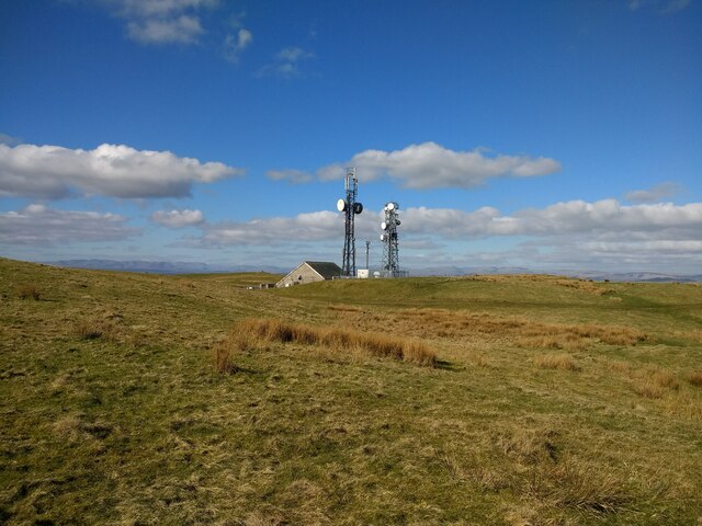
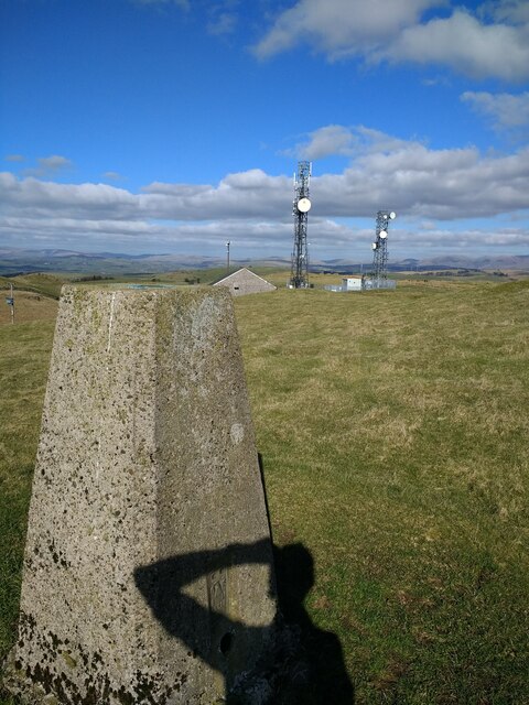
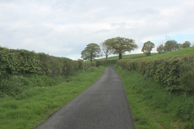
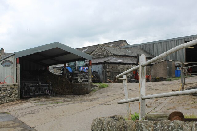
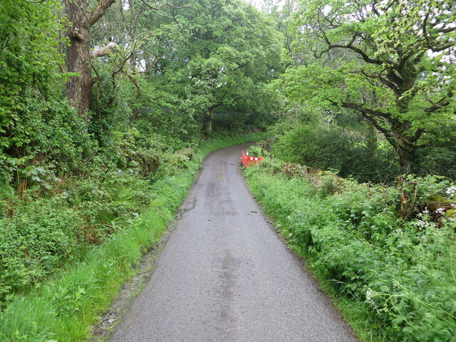
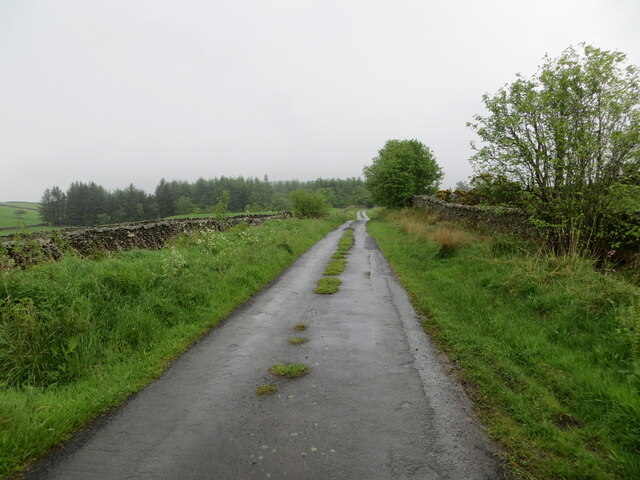
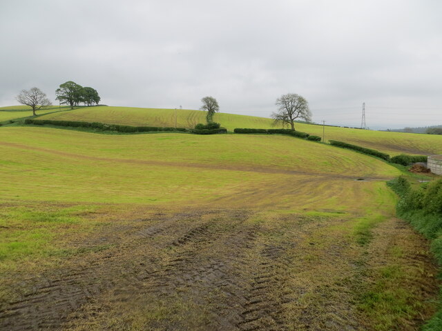
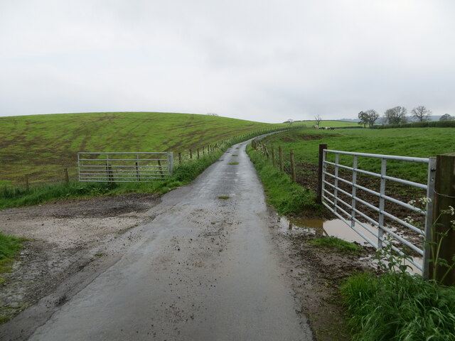
Tarnhouse Tarn Images

Images are sourced within 2km of 54.243788/-2.6583004 or Grid Reference SD5783. Thanks to Geograph Open Source API. All images are credited.

Scout Hill masts
Scout Hill masts
Scout Hill masts from trig
On Goodmickle Lane Almost traffic free lane heading for the B6254
On Goodmickle Lane
Almost traffic free lane heading for the B6254
Green Pasture on the Road to Pant End Farm Countryside between Carlingwha and Pant End
Green Pasture on the Road to Pant End Farm
Countryside between Carlingwha and Pant End
Narrow Lane leading to Pant End Farm
Farmyard at Carlingwha Farming operation on Goodmickle Lane
Farmyard at Carlingwha
Farming operation on Goodmickle Lane
Track heading towards Hungerhills Heading off Goodmickle Lane
Track heading towards Hungerhills
Heading off Goodmickle Lane
Minor road at Hellgill Bridge Looking southward. The bridge parapet awaits repair.
Minor road at Hellgill Bridge
Looking southward. The bridge parapet awaits repair.
Wall enclosed minor road near to Warth Looking eastward.
Wall enclosed minor road near to Warth
Looking eastward.
Harvested hay fields at Lupton Hall Looking eastward.
Harvested hay fields at Lupton Hall
Looking eastward.
Minor road near to Lupton Hall Looking south-westward.
Minor road near to Lupton Hall
Looking south-westward.
Ordnance Survey Cut Mark This mark can be found on a gatepost near Lupton Hall.
The recorded details give a height of 126.4471 metres above sea level.
For more detail see : <span class="nowrap"><a title="https://www.bench-marks.org.uk/bm171814" rel="nofollow ugc noopener" href="https://www.bench-marks.org.uk/bm171814">Link</a><img style="margin-left:2px;" alt="External link" title="External link - shift click to open in new window" src="https://s1.geograph.org.uk/img/external.png" width="10" height="10"/></span>
Ordnance Survey Cut Mark
This mark can be found on a gatepost near Lupton Hall. The recorded details give a height of 126.4471 metres above sea level. For more detail see : LinkExternal link
On the Bridleway descending towards Lupton Splendid views towards the Three Peaks and Bowland on offer at this point
On the Bridleway descending towards Lupton
Splendid views towards the Three Peaks and Bowland on offer at this point
Bridleway heading for Lupton High
Trig Point on Scout Hill For the amount of effort required to reach this summit - the view exceeds expectation.
This looks west towards the distant Lake District.
Also visible from the broad top of Scout Hill the observer can see The Howgill Fells, Wild Boar Fell, Middleton Fell, Ingleborough, Bowland, Morecambe Bay, Arnside Knott, Grange and Blackpool Tower
Trig Point on Scout Hill
For the amount of effort required to reach this summit - the view exceeds expectation. This looks west towards the distant Lake District. Also visible from the broad top of Scout Hill the observer can see The Howgill Fells, Wild Boar Fell, Middleton Fell, Ingleborough, Bowland, Morecambe Bay, Arnside Knott, Grange and Blackpool Tower
Standing Stone on Scout Hill Not sure if this stone has been erected in this position, or is a natural formation. For the amount of effort required to reach this summit - the view exceeds expectation.
This looks north towards the distant Howgill Fells.
Also visible from the broad top of Scout Hill the observer can see The Lakes District Fells, Wild Boar Fell, Middleton Fell, Ingleborough, Bowland, Morecambe Bay, Arnside Knott, Grange and Blackpool Tower
Standing Stone on Scout Hill
Not sure if this stone has been erected in this position, or is a natural formation. For the amount of effort required to reach this summit - the view exceeds expectation. This looks north towards the distant Howgill Fells. Also visible from the broad top of Scout Hill the observer can see The Lakes District Fells, Wild Boar Fell, Middleton Fell, Ingleborough, Bowland, Morecambe Bay, Arnside Knott, Grange and Blackpool Tower
Telecommunications Masts and Centre on Scout Hill
View towards the Howgill Fells from Scout Hill Looking north from Scout Hill
View towards the Howgill Fells from Scout Hill
Looking north from Scout Hill
Show me another place!

Tarnhouse Tarn is located at Grid Ref: SD5783 (Lat: 54.243788, Lng: -2.6583004)

Administrative County: Cumbria

District: South Lakeland

Police Authority: Cumbria

What 3 Words

///spell.typically.purified. Near Kirkby Lonsdale, Cumbria

Related Wikis

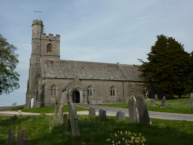
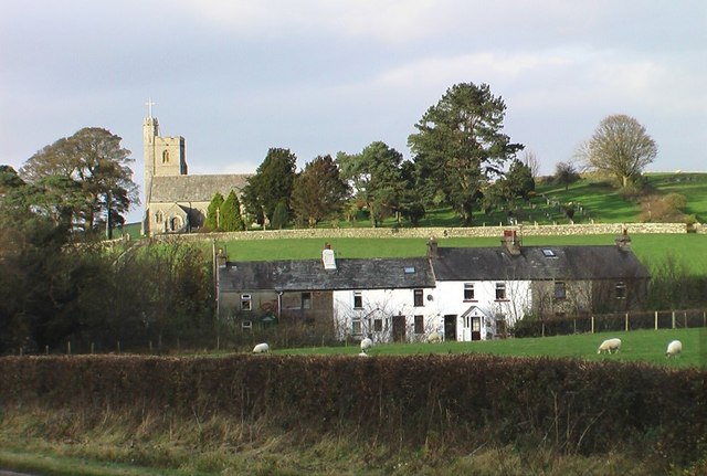
All Saints Church, Lupton

All Saints Church is in the village of Lupton, Cumbria, England. It is an active Anglican parish church in the deanery of Kendal, the archdeaconry of...

Preston Patrick

Preston Patrick is a village and civil parish in South Lakeland, Cumbria, England. It has junction 36 of the M6 motorway in its south west corner and extends...

Lupton, Cumbria

Lupton is a linear village and civil parish in the South Lakeland district of Cumbria, England, along the main A65 road north west of Kirkby Lonsdale,...

Mansergh, Cumbria

Mansergh is a village and civil parish in the South Lakeland district of the English county of Cumbria. It includes the village of Mansergh and the hamlet...

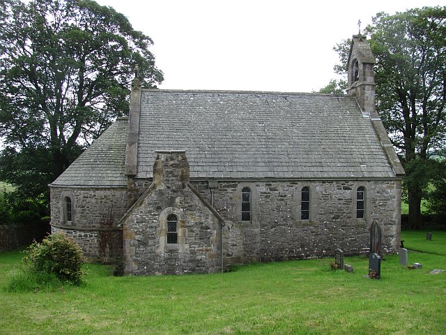
St Peter's Church, Mansergh

St Peter's Church is in the village of Mansergh, Cumbria, England. It is an active Anglican parish church in the deanery of Kendal, the archdeaconry of...

St Patrick's Church, Preston Patrick

St Patrick's Church is the parish church of Preston Patrick, Cumbria, England. It is an active Anglican church, one of eight parish churches served by...
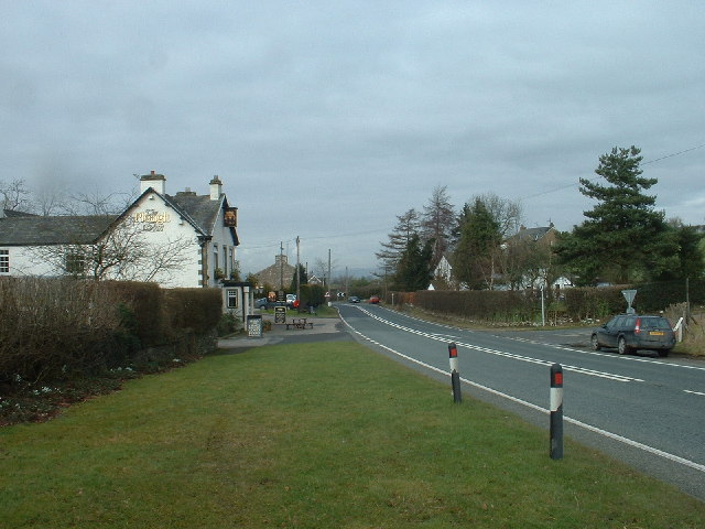
Endmoor

Endmoor is a small village within Cumbria, England, situated close to the A65 road. It is about 5 miles (8 km) from Kendal, just south of Oxenholme, and...
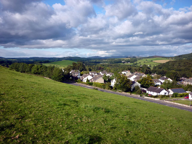
Crooklands

Crooklands is a village in South Lakeland, Cumbria, England, 4.5 miles (7.2 km) south of Kendal on the A65 road. Historically part of Westmorland, the...

Nearby Amenities

Located within 500m of 54.243788,-2.6583004
Power: tower
Lat/Long: 54.2429362/-2.6526836
Tinkler Bank
Natural: peak
Lat/Long: 54.2425936/-2.6544989
Power: pole
Lat/Long: 54.2453234/-2.6518067
Power: pole
Lat/Long: 54.2455923/-2.6530301
Power: pole
Lat/Long: 54.2458085/-2.6540963
The data included in this document is from www.openstreetmap.org. The data is made available under ODbL.

Have you been to Tarnhouse Tarn?

Leave your review of Tarnhouse Tarn below (or comments, questions and feedback).