Bishop's Pond

Lake, Pool, Pond, Freshwater Marsh in Somerset Mendip

England

Bishop's Pond

Green Ore : Bristol Road A39 Looking along Bristol Road at the junction.
Green Ore : Bristol Road A39 Credit: Lewis Clarke

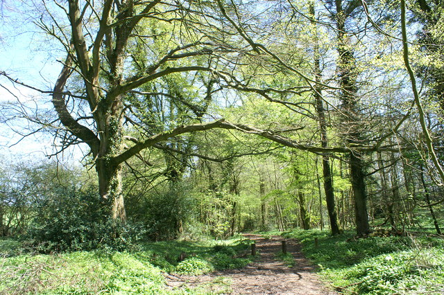
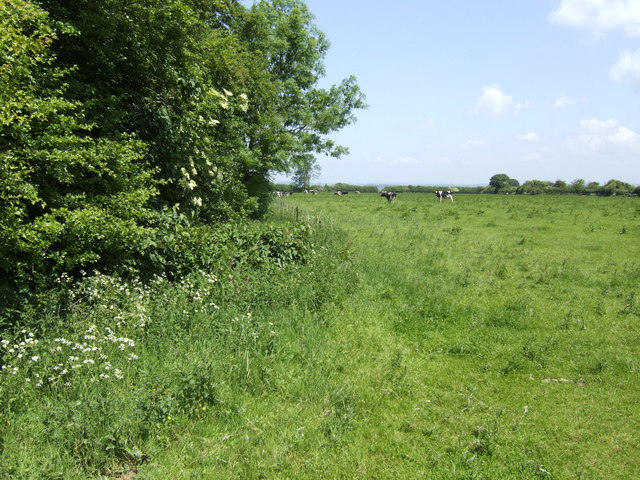
Bishop's Pond is a picturesque freshwater marsh located in Somerset, England. Spanning over a vast area, it offers a diverse habitat for various flora and fauna. Although referred to as a pond, it resembles a small lake due to its size and the abundance of water it contains.

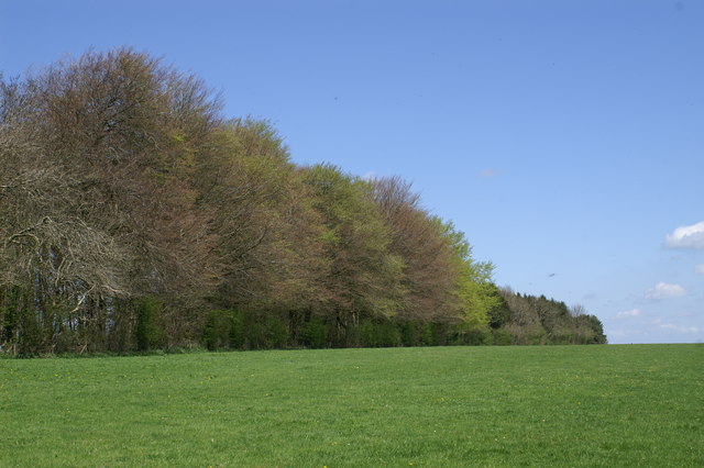
The pond is surrounded by lush greenery, with tall reeds and cattails lining its edges. This dense vegetation provides a natural barrier and creates a peaceful and secluded atmosphere. The water in Bishop's Pond is crystal clear and remains cool throughout the year, creating an ideal environment for aquatic life.

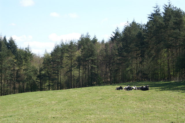
The pond is home to a wide variety of wildlife. Fish such as carp, roach, and perch can be found swimming in its depths, while waterfowl like ducks and geese can often be seen gliding gracefully on its surface. The surrounding marshland is also a haven for numerous bird species, including herons, kingfishers, and reed warblers.

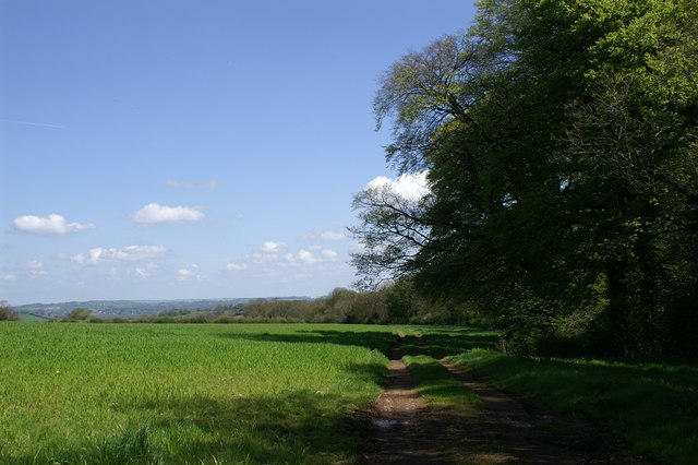
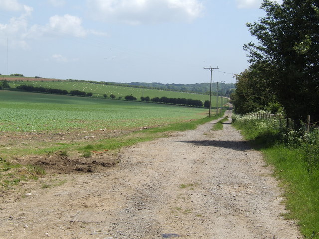
Bishop's Pond is not only a sanctuary for wildlife but also a popular spot for nature enthusiasts. Visitors can enjoy serene walks along the pond's edge, taking in the sights and sounds of nature. There are also designated areas for fishing, allowing anglers to try their luck at catching the abundant fish residing in the pond.

Overall, Bishop's Pond is a tranquil and biodiverse freshwater marsh that provides a unique and immersive experience for both wildlife and nature enthusiasts alike.

If you have any feedback on the listing, please let us know in the comments section below.

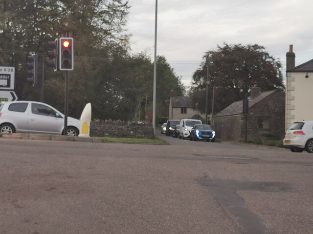
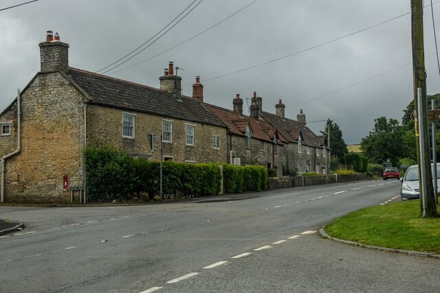
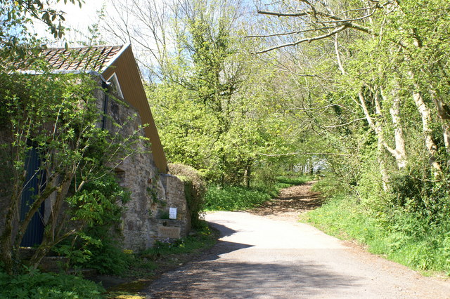
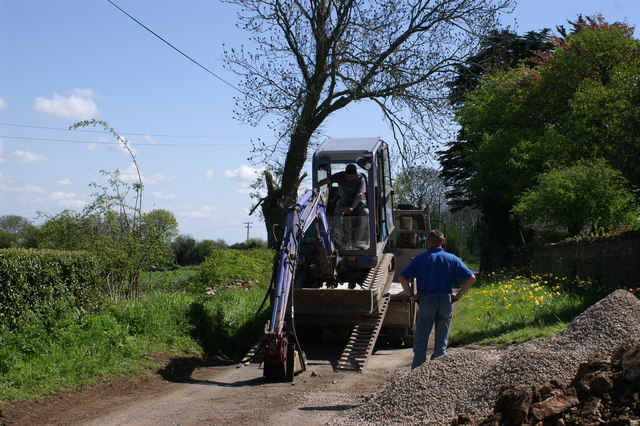
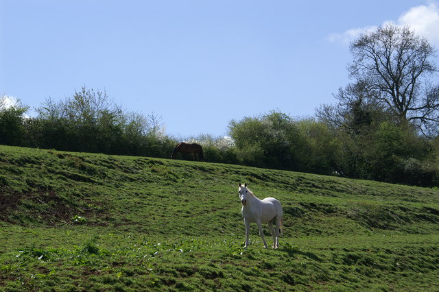
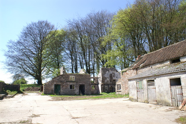
Bishop's Pond Images

Images are sourced within 2km of 51.265652/-2.6119908 or Grid Reference ST5752. Thanks to Geograph Open Source API. All images are credited.

Green Ore : Bristol Road A39 Looking along Bristol Road at the junction.
Green Ore : Bristol Road A39
Looking along Bristol Road at the junction.
Chewton Mendip : Bathway - A39 A road heading through Chewton Mendip.
Chewton Mendip : Bathway - A39
A road heading through Chewton Mendip.
Green Ore What can I say about Green Ore? Stuck in the middle of nowhere on top of the Mendips, it's about the only thing of note in this square. A cross roads of the A39 (Wells Road) and the B3135. What strikes me is why it needs a hideous set of traffic lights. The roads that intersect are dead straight and at 90 degrees; my guess is that it's been the scene of some fatal accidents. There is also a speed camera there. The buildings around the crossroads comprise a pub (the Ploughboy Inn), a 4x4 vehicle sales place, a (transport?) cafe and a couple of houses. The rest of the square is farmed.
Green Ore
What can I say about Green Ore? Stuck in the middle of nowhere on top of the Mendips, it's about the only thing of note in this square. A cross roads of the A39 (Wells Road) and the B3135. What strikes me is why it needs a hideous set of traffic lights. The roads that intersect are dead straight and at 90 degrees; my guess is that it's been the scene of some fatal accidents. There is also a speed camera there. The buildings around the crossroads comprise a pub (the Ploughboy Inn), a 4x4 vehicle sales place, a (transport?) cafe and a couple of houses. The rest of the square is farmed.
Field & Woods on the Mendips
Greendown Farm Digger Delivery
Horses on the hillside
Dilapidated West End Farm In need of repair!
Dilapidated West End Farm
In need of repair!
Bridleway Through Woodland
Dairy pasture near Everard's Farm
Byway to Shooter's Bottom Farm
Dry stone wall by a road The busy B3135 just clips this kilometre square, bordered by drystone walls and fields with sheep grazing.
Dry stone wall by a road
The busy B3135 just clips this kilometre square, bordered by drystone walls and fields with sheep grazing.
2009 : B3135 at Green Ore The B3135 is one of those strange little 'B' roads that promises much and goes nowhere. It starts by climbing the Cheddar Gorge, works its way along the Mendips to Green Ore, on a few more miles to the A37 then just as it seems to be going well it stops.
2009 : B3135 at Green Ore
The B3135 is one of those strange little 'B' roads that promises much and goes nowhere. It starts by climbing the Cheddar Gorge, works its way along the Mendips to Green Ore, on a few more miles to the A37 then just as it seems to be going well it stops.
2009 : Crossroads at Green Ore What you see is what you get. There is more here but not much, a garage and car showroom out of sight on the right and a few houses.
The Ploughboy Inn <span class="nowrap"><a title="http://ploughboyinn.com/index.html" rel="nofollow ugc noopener" href="http://ploughboyinn.com/index.html">Link</a><img style="margin-left:2px;" alt="External link" title="External link - shift click to open in new window" src="https://s1.geograph.org.uk/img/external.png" width="10" height="10"/></span> stands on the corner relying on passing trade and what they attract from the surrounding area.
The A39 is the road in view with the B3135 crossing.
2009 : Crossroads at Green Ore
What you see is what you get. There is more here but not much, a garage and car showroom out of sight on the right and a few houses. The Ploughboy Inn LinkExternal link stands on the corner relying on passing trade and what they attract from the surrounding area. The A39 is the road in view with the B3135 crossing.
2009 : B3135 at Green Ore looking north west Follow it and you get a pleasant drive over the Mendips followed by the Cheddar Gorge.
2009 : B3135 at Green Ore looking north west
Follow it and you get a pleasant drive over the Mendips followed by the Cheddar Gorge.
Show me another place!

Bishop's Pond is located at Grid Ref: ST5752 (Lat: 51.265652, Lng: -2.6119908)

Administrative County: Somerset

District: Mendip

Police Authority: Avon and Somerset

What 3 Words

///enabling.indulges.acting. Near Mendip, Somerset

Related Wikis

Attborough Swallet

Attborough Swallet (also known as Red Quar Swallet) is a cave in Chewton Mendip in Somerset, England. It is unusual for a cave on the Mendip Hills in that...

Stock Hill

Stock Hill (grid reference ST5551) is a Forestry Commission plantation on the Mendip Hills, Somerset, England. It lies to the south of the B3135 which...

Drove Cottage Henge

Drove Cottage Henge (sometimes called Hunter's Lodge Henge) is a scheduled monument in the Priddy parish of Somerset, England. It is located 370 metres...

Chewton Mendip

Chewton Mendip is a village and civil parish in Somerset, England. It is situated 4 miles (6 km) north of Wells, 16 miles (26 km) south of Bath and Bristol...

Priddy Mineries

Priddy Mineries (grid reference ST547515) is a nature reserve previously run by the Somerset Wildlife Trust. It is in the village of Priddy, on the Mendip...

Priddy Pools

Priddy Pools (grid reference ST545510) is a 52.7-hectare (130-acre) geological Site of Special Scientific Interest at Priddy in the Mendip Hills, Somerset...

Smitham Chimney, East Harptree

Smitham Chimney is a chimney which was used for lead mining just outside the village of East Harptree, in the parish of Priddy, Somerset, England. It is...

Eastwood Manor Farm Steading

Eastwood Manor Farm Steading in East Harptree, Somerset, England is a Grade I listed building.The farm including the site for the construction of Eastwood...

Have you been to Bishop's Pond?

Leave your review of Bishop's Pond below (or comments, questions and feedback).