Bearse Common

Wood, Forest in Gloucestershire Forest of Dean

England

Bearse Common

B4228 north-east of St Briavels
B4228 north-east of St Briavels Credit: Colin Pyle

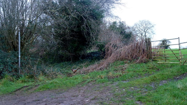
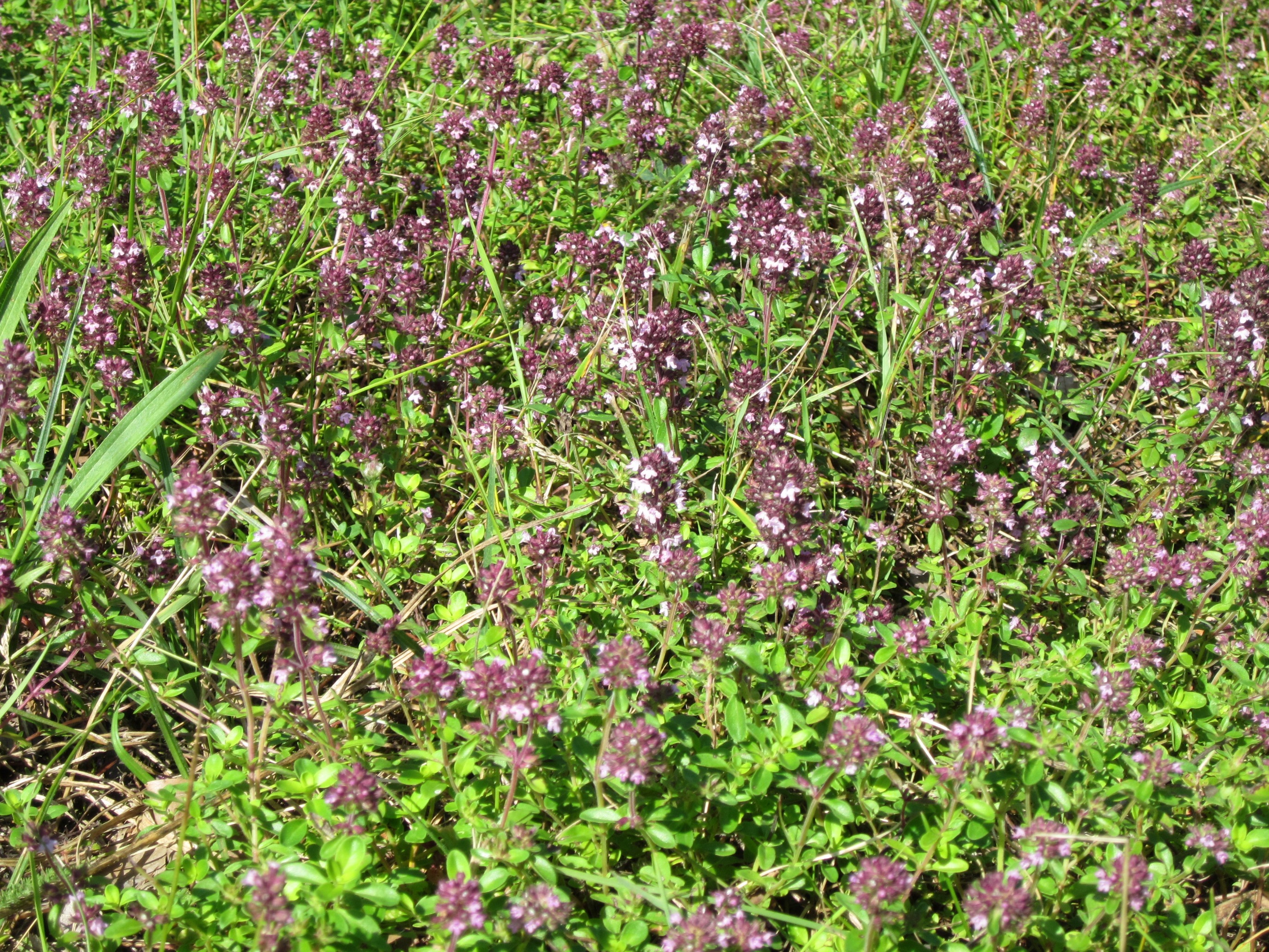
Bearse Common is a picturesque woodland area located in Gloucestershire, England. Covering an expansive area, it is nestled within the heart of the Forest of Dean, renowned for its natural beauty and rich biodiversity. The common is predominantly covered with dense woodland, characterized by a mix of deciduous and coniferous trees, including oak, beech, and pine.

The common offers a tranquil escape for nature enthusiasts and outdoor adventurers alike. Its well-maintained walking trails wind through the forest, providing an opportunity to immerse oneself in the peaceful surroundings. The diverse flora and fauna found here add to the charm of the area, with sightings of deer, badgers, and various bird species being common.

Visitors to Bearse Common can also enjoy a variety of recreational activities. The forest offers ample opportunities for hiking, cycling, and horse riding, with designated paths catering to all levels of ability. Furthermore, the common is a popular spot for picnics and family outings, providing ample space and stunning natural scenery.

Bearse Common is not only a haven for outdoor enthusiasts but also plays an important role in the local ecosystem. The forest acts as a carbon sink, absorbing carbon dioxide and releasing oxygen, contributing to the fight against climate change. It also provides habitats for a wide range of species, helping to maintain the delicate balance of the local ecosystem.

Overall, Bearse Common in Gloucestershire is a captivating woodland area, offering a perfect blend of natural beauty, recreational opportunities, and ecological significance. Whether exploring its trails, observing wildlife, or simply enjoying a peaceful day in nature, visitors are sure to be captivated by the charm of this enchanting forest.

If you have any feedback on the listing, please let us know in the comments section below.

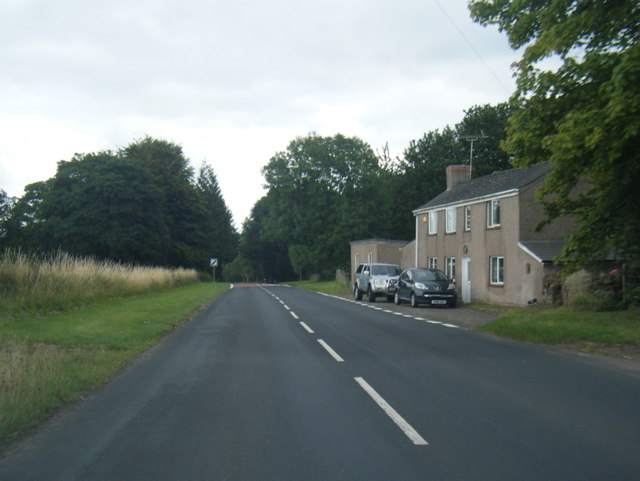
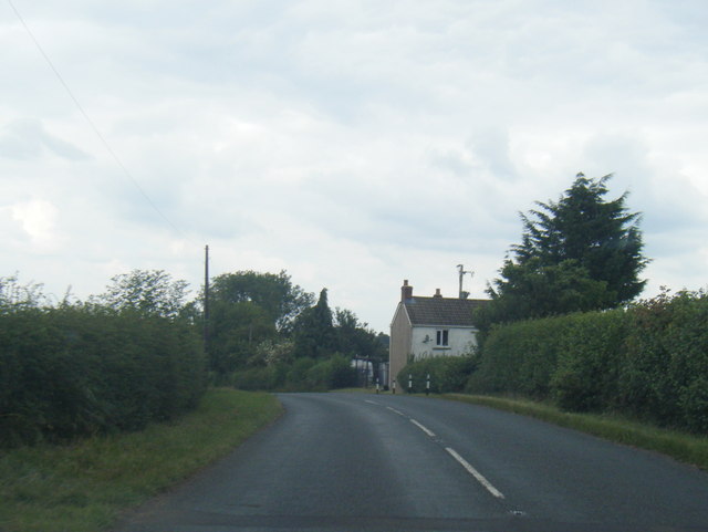
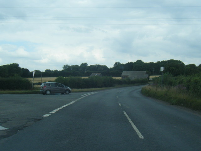
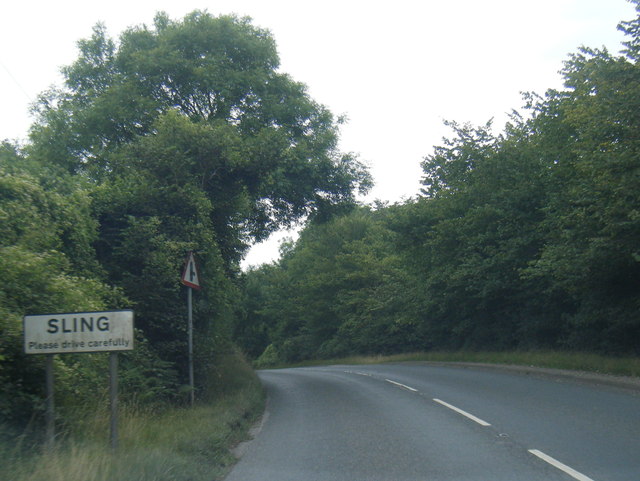
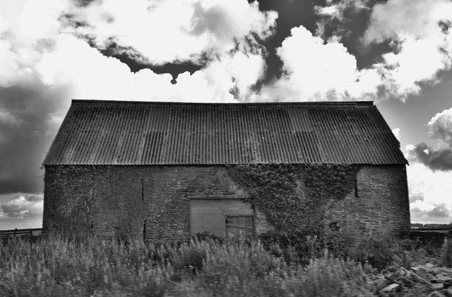
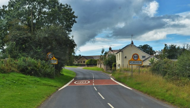
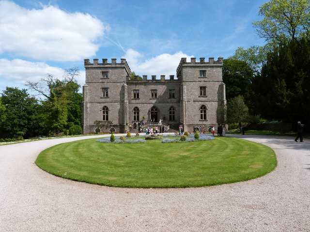
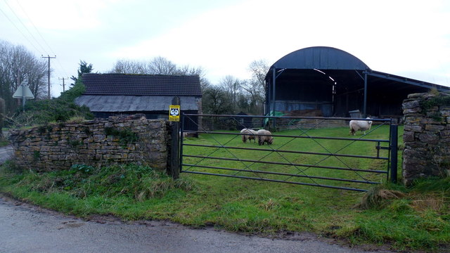
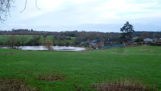
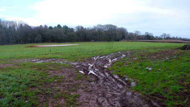
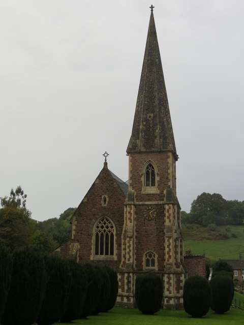
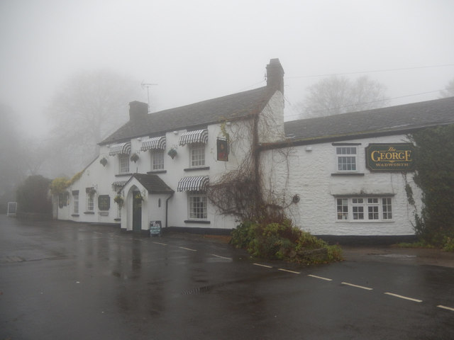
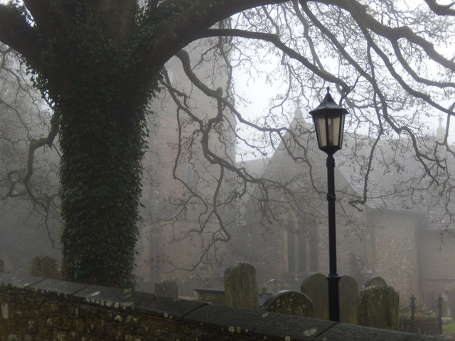
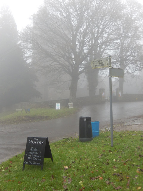
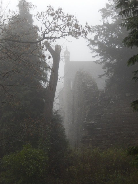
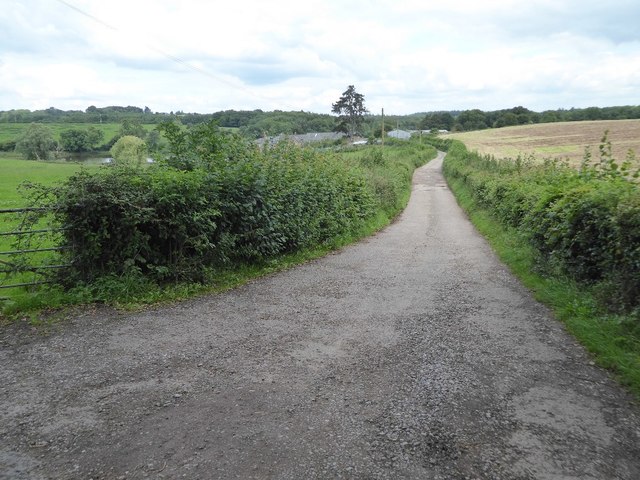
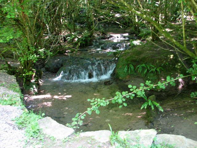
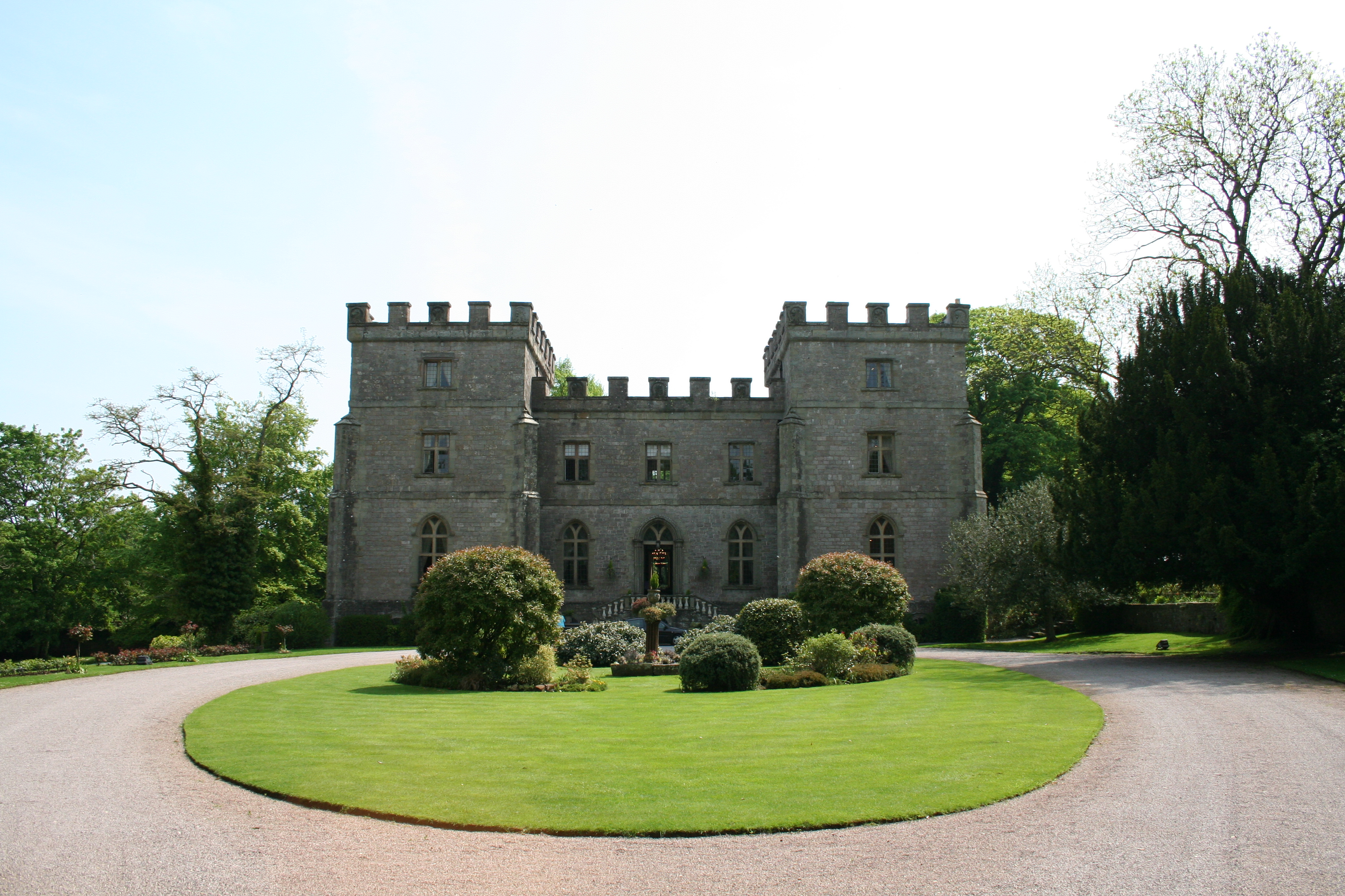
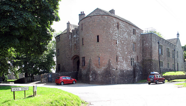
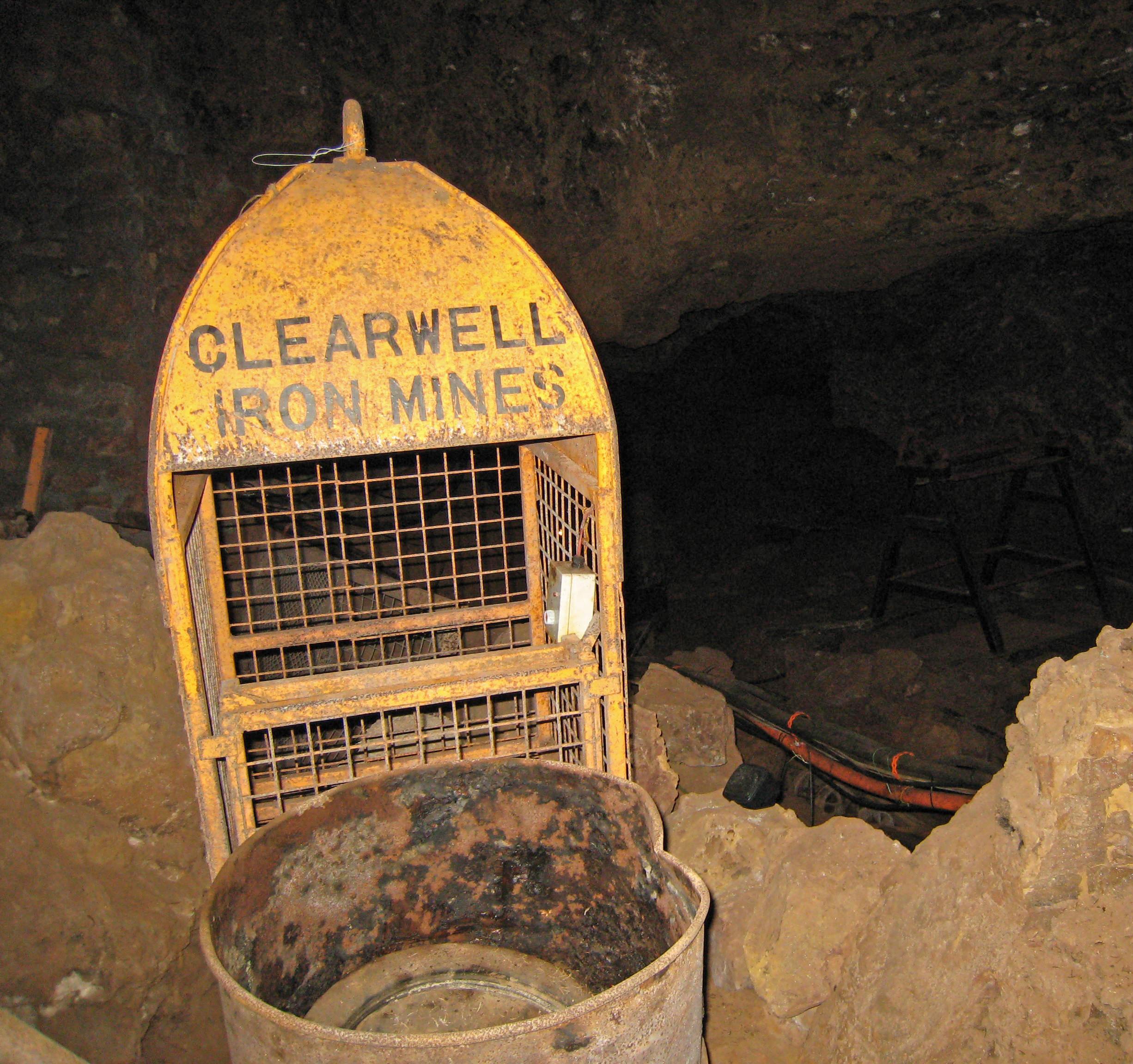
Bearse Common Images

Images are sourced within 2km of 51.751553/-2.6229712 or Grid Reference SO5706. Thanks to Geograph Open Source API. All images are credited.

B4228 north-east of St Briavels
B4228 near Longley Farm
B4228/Shophouse Road junction
B4228 at Sling village boundary
Old Barn Near St Briavels On the roadside
Old Barn Near St Briavels
On the roadside
Road To St Briavels B road entering the village from the north
Road To St Briavels
B road entering the village from the north
Clearwell Castle A frontal view of the castle in Clearwell, on the English-Welsh border.
Clearwell Castle
A frontal view of the castle in Clearwell, on the English-Welsh border.
Footpath north from Stowe Lane Complete with cock pheasant.
Footpath north from Stowe Lane
Complete with cock pheasant.
Stowegreen Farm Some ewes in the very safe pasture next to the barns.
Stowegreen Farm
Some ewes in the very safe pasture next to the barns.
Noxon Farm and Pond My third photograph of these subject, see <a href="https://www.geograph.org.uk/photo/289315">SO5806 : Noxon Pond.</a> from 2006 and <a href="https://www.geograph.org.uk/photo/1908341">SO5806 : Noxon Farm</a> from 2010.
Noxon Farm and Pond
My third photograph of these subject, see SO5806 : Noxon Pond. from 2006 and SO5806 : Noxon Farm from 2010.
Wet field by Bream Avenue A rainwater pond lies over near the woodland of Bream's Meend.
Wet field by Bream Avenue
A rainwater pond lies over near the woodland of Bream's Meend.
Ordnance Survey Flush Bracket S9959 This can be found on the wall of St Peter's Church at Clearwell.
For more detail see : <span class="nowrap"><a title="http://www.bench-marks.org.uk/bm19075" rel="nofollow ugc noopener" href="http://www.bench-marks.org.uk/bm19075">Link</a><img style="margin-left:2px;" alt="External link" title="External link - shift click to open in new window" src="https://s1.geograph.org.uk/img/external.png" width="10" height="10"/></span>
Ordnance Survey Flush Bracket S9959
This can be found on the wall of St Peter's Church at Clearwell. For more detail see : LinkExternal link
The Church of St Peter at Clearwell Looking north-eastward.
The Church of St Peter at Clearwell
Looking north-eastward.
The George Inn, St Briavels Seen here on a day when the village was shrouded in fog, the George Inn dates from the 16th century and is now a Wadworth's pub. It offers bed and breakfast.
The George Inn, St Briavels
Seen here on a day when the village was shrouded in fog, the George Inn dates from the 16th century and is now a Wadworth's pub. It offers bed and breakfast.
St Briavels Church On a very gloomy morning, with the village shrouded in damp fog, the church of St Mary the Virgin is barely visible from Church Street.
St Briavels Church
On a very gloomy morning, with the village shrouded in damp fog, the church of St Mary the Virgin is barely visible from Church Street.
St Briavels The sign points down the hill to Bigsweir, the Wye Valley and Monmouth. In the background the tower of St Mary the Virgin's church is barely visible in the damp fog and in the foreground a sign advertises a village shop. Unsurprisingly in this weather the area seemed deserted.
St Briavels
The sign points down the hill to Bigsweir, the Wye Valley and Monmouth. In the background the tower of St Mary the Virgin's church is barely visible in the damp fog and in the foreground a sign advertises a village shop. Unsurprisingly in this weather the area seemed deserted.
St Briavels Castle St Briavels Castle was once a royal hunting lodge, used by King John, but is now a youth hostel. In these foggy conditions it looks suitably atmospheric.
St Briavels Castle
St Briavels Castle was once a royal hunting lodge, used by King John, but is now a youth hostel. In these foggy conditions it looks suitably atmospheric.
Entrance to Noxon Farm Entrance drive to Noxon Farm of the B4231 to the west of Bream.
Entrance to Noxon Farm
Entrance drive to Noxon Farm of the B4231 to the west of Bream.
Show me another place!

Bearse Common is located at Grid Ref: SO5706 (Lat: 51.751553, Lng: -2.6229712)

Administrative County: Gloucestershire

District: Forest of Dean

Police Authority: Gloucestershire

What 3 Words

///baroness.issued.glad. Near Bream, Gloucestershire

Nearby Locations

Trow Green Bearse Common

Related Wikis

Nearby Amenities

Located within 500m of 51.751553,-2.6229712
Bearse Common
Leisure: common
Place: locality
Lat/Long: 51.7494062/-2.6205469
Bus Stop
Bearse Common
Naptan AtcoCode: 1600GLF620
Naptan Bearing: N
Naptan CommonName: Bearse Common
Naptan NaptanCode: gloadpdj
Naptan Street: B4228
Naptan Verified: no
Source: naptan_import
Lat/Long: 51.7474565/-2.6206331
The data included in this document is from www.openstreetmap.org. The data is made available under ODbL.

Have you been to Bearse Common?

Leave your review of Bearse Common below (or comments, questions and feedback).