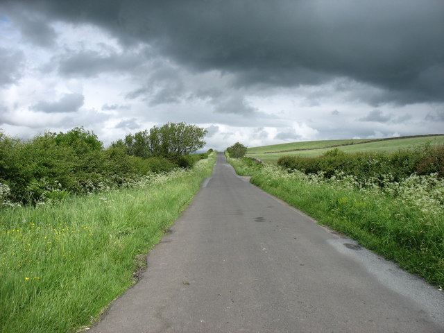
Craighill Wood
Wood, Forest in Cumberland Carlisle
England
Craighill Wood
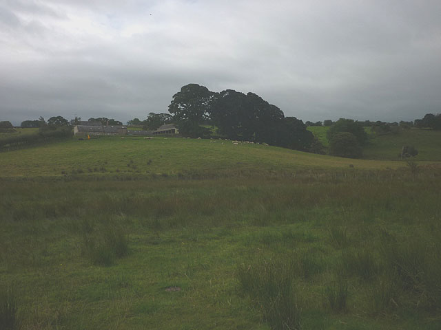
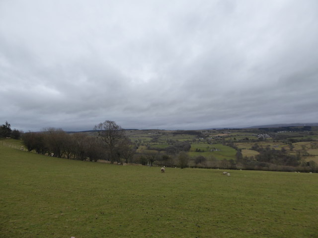
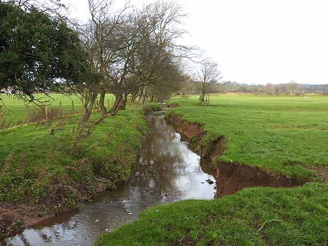
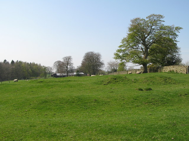
Craighill Wood is a picturesque forest located in Cumberland, England. Spread across a vast area of land, it is known for its breathtaking natural beauty and diverse flora and fauna. The wood is situated in close proximity to the town of Carlisle, making it easily accessible for both locals and tourists.
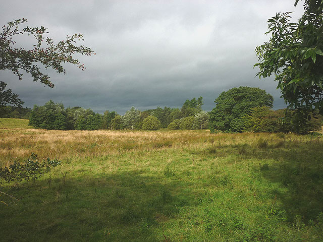
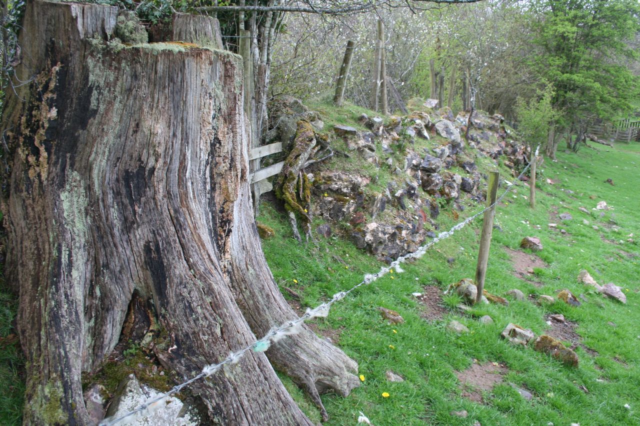
The forest is predominantly composed of broadleaf trees, such as oak, beech, and ash, which create a dense canopy that provides shade and shelter to various woodland creatures. The forest floor is adorned with vibrant wildflowers, ferns, and mosses, adding to the enchanting ambiance of the wood.
Craighill Wood is also home to a wide range of animal species, including deer, badgers, rabbits, and numerous bird species. Birdwatchers can spot woodpeckers, owls, and various songbirds amidst the treetops. The forest is a haven for nature enthusiasts and provides an excellent opportunity for wildlife photography and exploration.
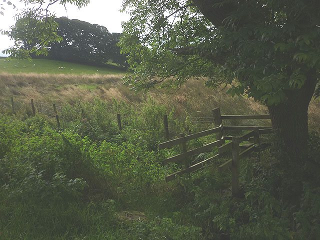
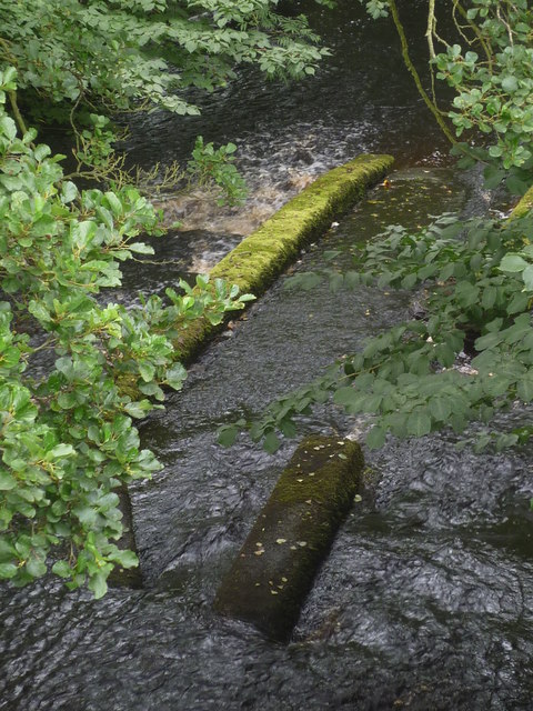
Visitors can enjoy several walking trails that wind through the wood, allowing them to immerse themselves in the tranquility of nature. These trails provide stunning views of the surrounding countryside and often lead to hidden gems, such as secluded streams and small waterfalls.
Craighill Wood is a popular destination for outdoor activities, such as hiking, cycling, and picnicking. It also offers designated areas for camping, allowing visitors to spend a night under the stars surrounded by the peaceful sounds of nature.
Overall, Craighill Wood is a cherished natural asset of Cumberland, offering a serene escape from the hustle and bustle of everyday life and providing an opportunity to reconnect with the beauty of the natural world.
If you have any feedback on the listing, please let us know in the comments section below.
Craighill Wood Images
Images are sourced within 2km of 54.985422/-2.6720887 or Grid Reference NY5765. Thanks to Geograph Open Source API. All images are credited.


Craighill Wood is located at Grid Ref: NY5765 (Lat: 54.985422, Lng: -2.6720887)
Administrative County: Cumbria
District: Carlisle
Police Authority: Cumbria
What 3 Words
///songbirds.lawyer.seating. Near Brampton, Cumbria
Nearby Locations
Related Wikis
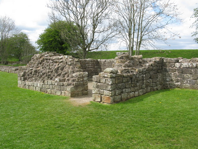
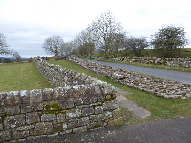
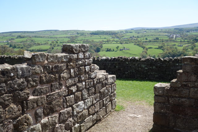
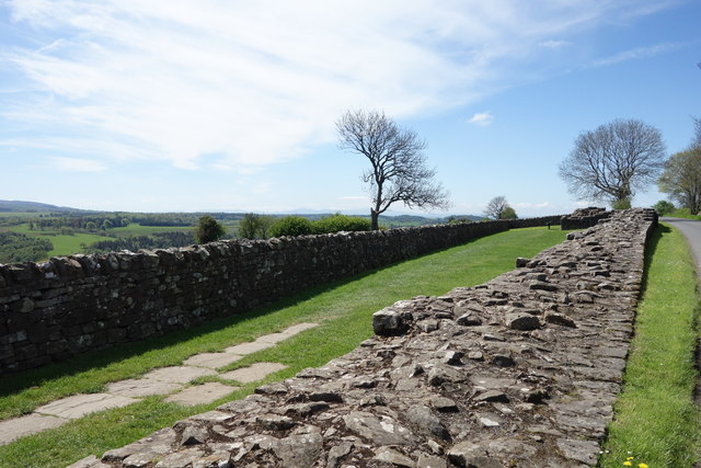
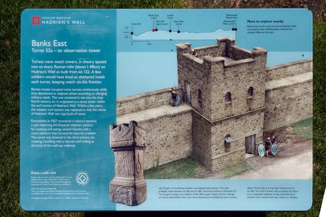
Pike Hill Signal Tower
Pike Hill Signal Tower was one of a number of signal stations that were built on high ground overlooking the line of the Roman Stanegate road in northern...

Banks, Cumbria
Banks is a village in Cumbria, England, astride the course of Hadrian's Wall, 3 mile (5 km) NE of the market town of Brampton. The historic Lanercost Priory...

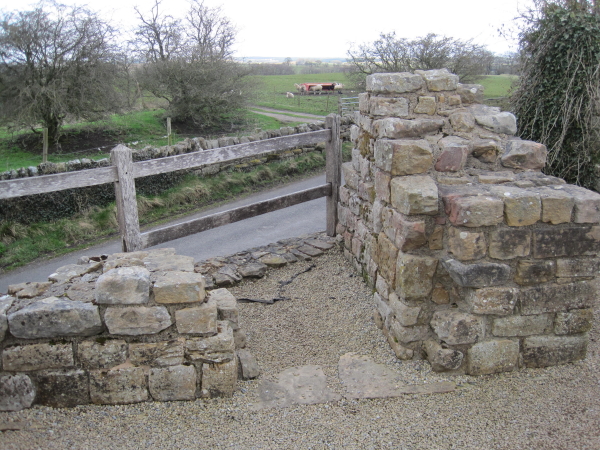
Milecastle 52
Milecastle 52 (Bankshead) was a milecastle on Hadrian's Wall (grid reference NY57946490). == Description == Milecastle 52 is west of Birdoswald fort. It...

Milecastle 53
Milecastle 53 (Banks Burn) was a milecastle on Hadrian's Wall (grid reference NY56486460). == Description == Milecastle 53 is west of the hamlet of Banks...
Leahill Turret, Hadrian's Wall
Leahill Turret is a typical example of one of the lookout towers located between the milecastles on Hadrian's Wall in Cumbria; located on the Lanercost...
Burtholme
Burtholme refers to any of a civil parish in Cumbria, England, a hamlet within that parish or a family name originally linked to the place. It also appears...
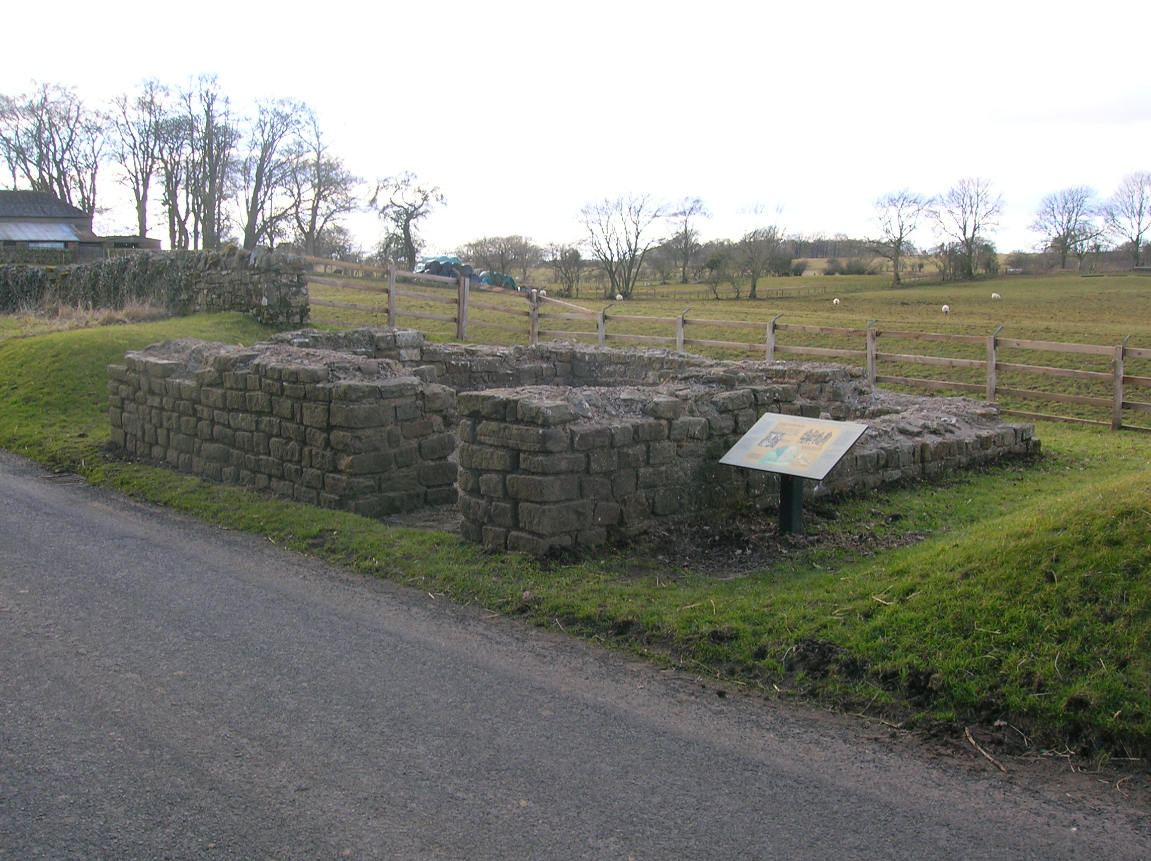
Milecastle 51
Milecastle 51 (Wall Bowers) was a milecastle on Hadrian's Wall (grid reference NY59306549). == Description == Milecastle 51 is west of Birdoswald fort...
Milecastle 54
Milecastle 54 (Randylands) was a milecastle on Hadrian's Wall (grid reference NY55066444). == Description == Milecastle 54 is on a west-facing hill-slope...
Have you been to Craighill Wood?
Leave your review of Craighill Wood below (or comments, questions and feedback).