Trow Green
Settlement in Gloucestershire Forest of Dean
England
Trow Green
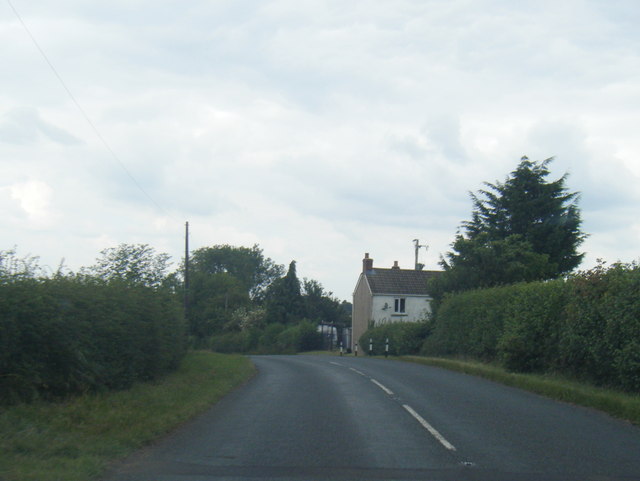
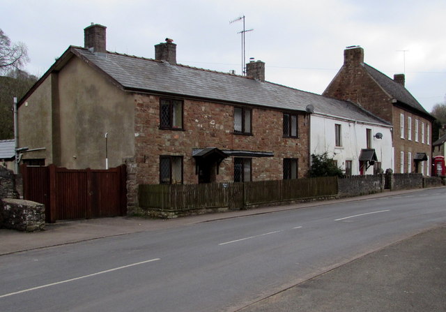
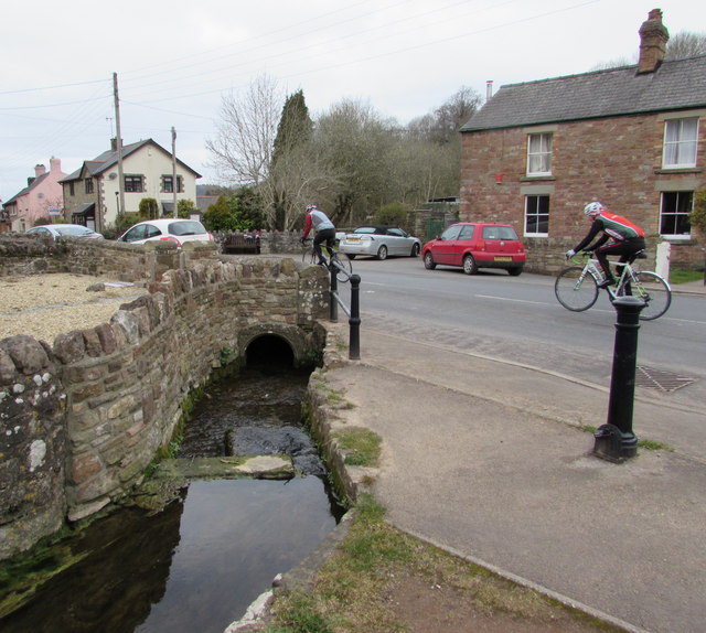
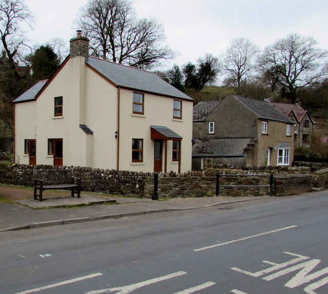
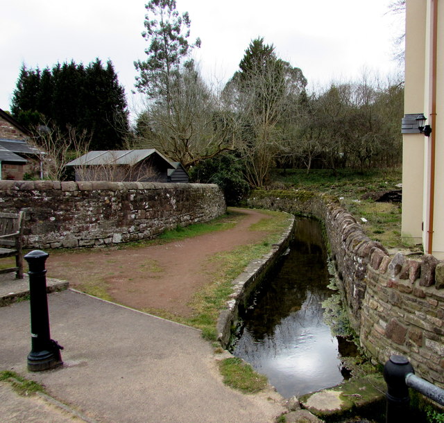
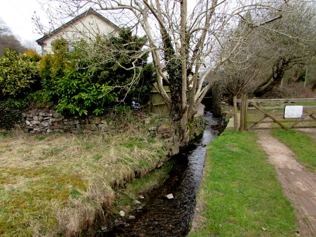
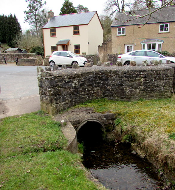
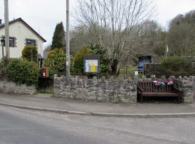
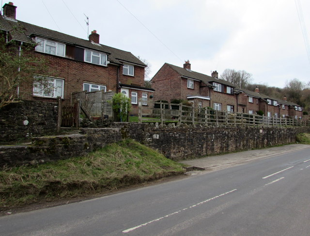
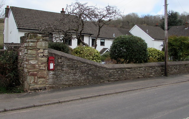
Trow Green is a small village located in the county of Gloucestershire, England. Situated approximately 10 miles southwest of Gloucester, it falls within the Forest of Dean district. The village is surrounded by picturesque countryside, boasting rolling hills and lush green fields, making it an idyllic setting for residents and visitors alike.
Despite its small size, Trow Green has a rich history, dating back to medieval times. The village retains several historic buildings that showcase its heritage, including a 14th-century church and a charming village hall that serves as a hub for community activities.
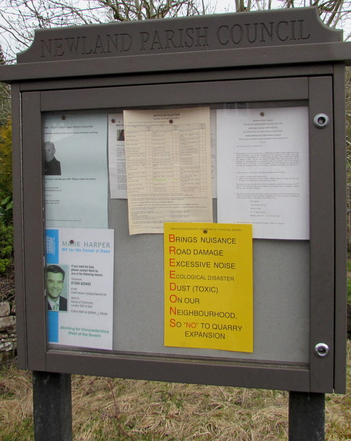
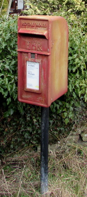
The population of Trow Green is relatively small, with a close-knit community that takes pride in maintaining the village's traditional character. Residents benefit from a range of local amenities, including a primary school, a village shop, and a pub that serves as a popular gathering spot for locals.
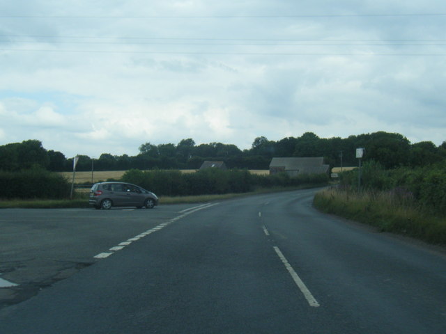
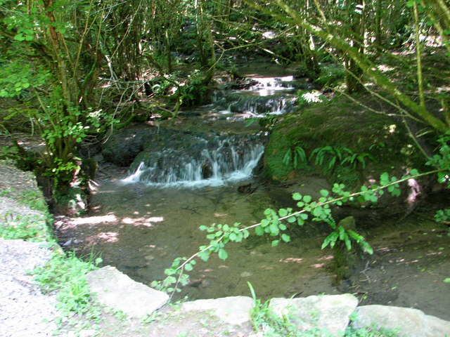
Nature enthusiasts are drawn to Trow Green for its proximity to the Forest of Dean, a vast woodland area known for its stunning natural beauty. This provides ample opportunities for outdoor activities such as hiking, cycling, and wildlife spotting.
Trow Green is easily accessible by road, with good transport links to nearby towns and cities. Its peaceful and scenic location, combined with its historical charm, makes Trow Green an attractive destination for those seeking a tranquil retreat in the heart of Gloucestershire.
If you have any feedback on the listing, please let us know in the comments section below.
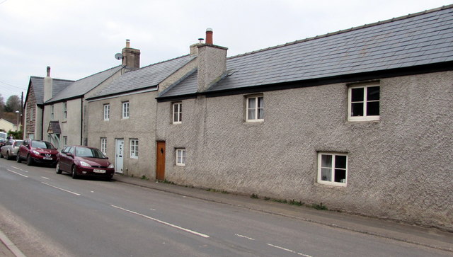
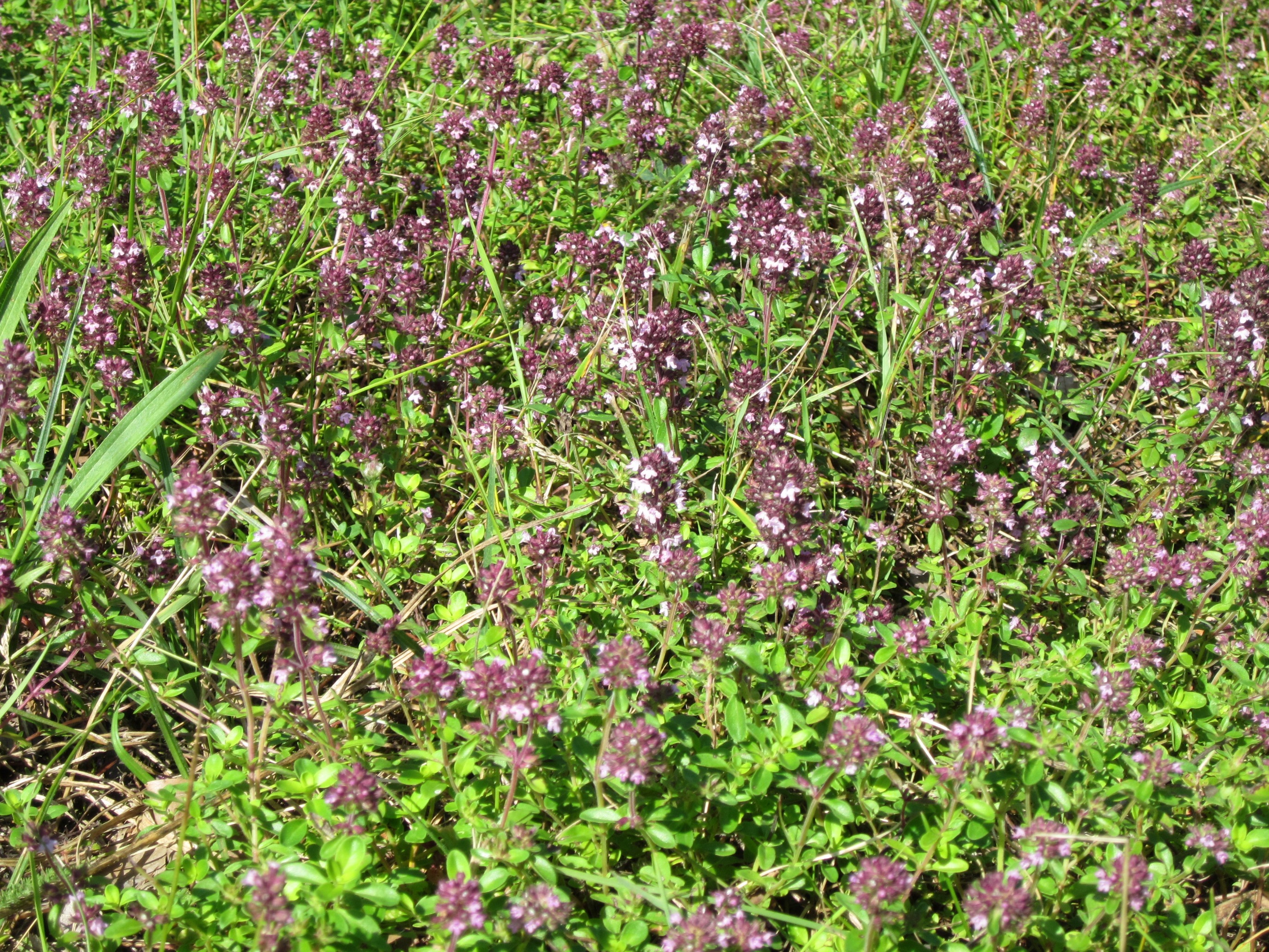
Trow Green Images
Images are sourced within 2km of 51.75842/-2.613561 or Grid Reference SO5706. Thanks to Geograph Open Source API. All images are credited.

Trow Green is located at Grid Ref: SO5706 (Lat: 51.75842, Lng: -2.613561)
Administrative County: Gloucestershire
District: Forest of Dean
Police Authority: Gloucestershire
What 3 Words
///expiring.tastier.boarding. Near Bream, Gloucestershire
Nearby Locations
Related Wikis
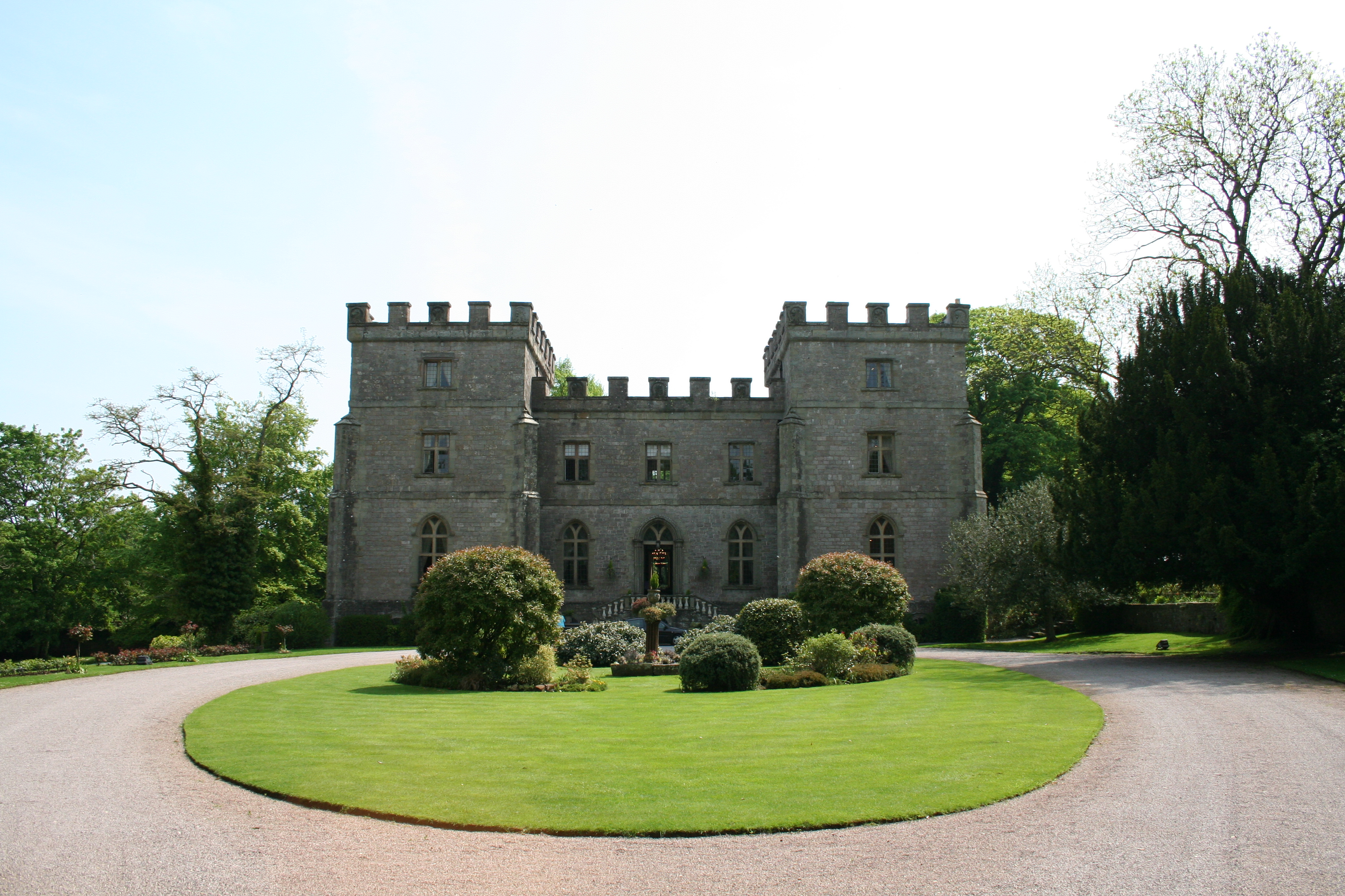
Clearwell Castle
Clearwell Castle in Clearwell, the Forest of Dean, Gloucestershire, is a Gothic Revival house constructed from 1727. Built by Thomas Wyndham to the designs...

Stow Green, St Briavels
Stow Green Castle, also known as Castle Tump, was a castle near the village of St Briavels in Gloucestershire, England. The castle is believed to have...

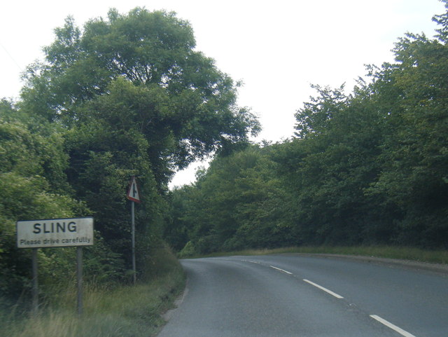
Sling, Gloucestershire
Sling is a village in Gloucestershire, England. The village is located between Clearwell and Bream. It is just south of the village of Milkwall. ��2�...
Tudor Farm Bank
Tudor Farm Bank (grid reference SO573081) is a 3.68-hectare (9.1-acre) biological Site of Special Scientific Interest in Gloucestershire, notified in 1999...

Clearwell
Clearwell (anciently "Clower-Wall" etc.) is a village and former ancient manor in the Forest of Dean, West Gloucestershire, England. A recent survey indicated...
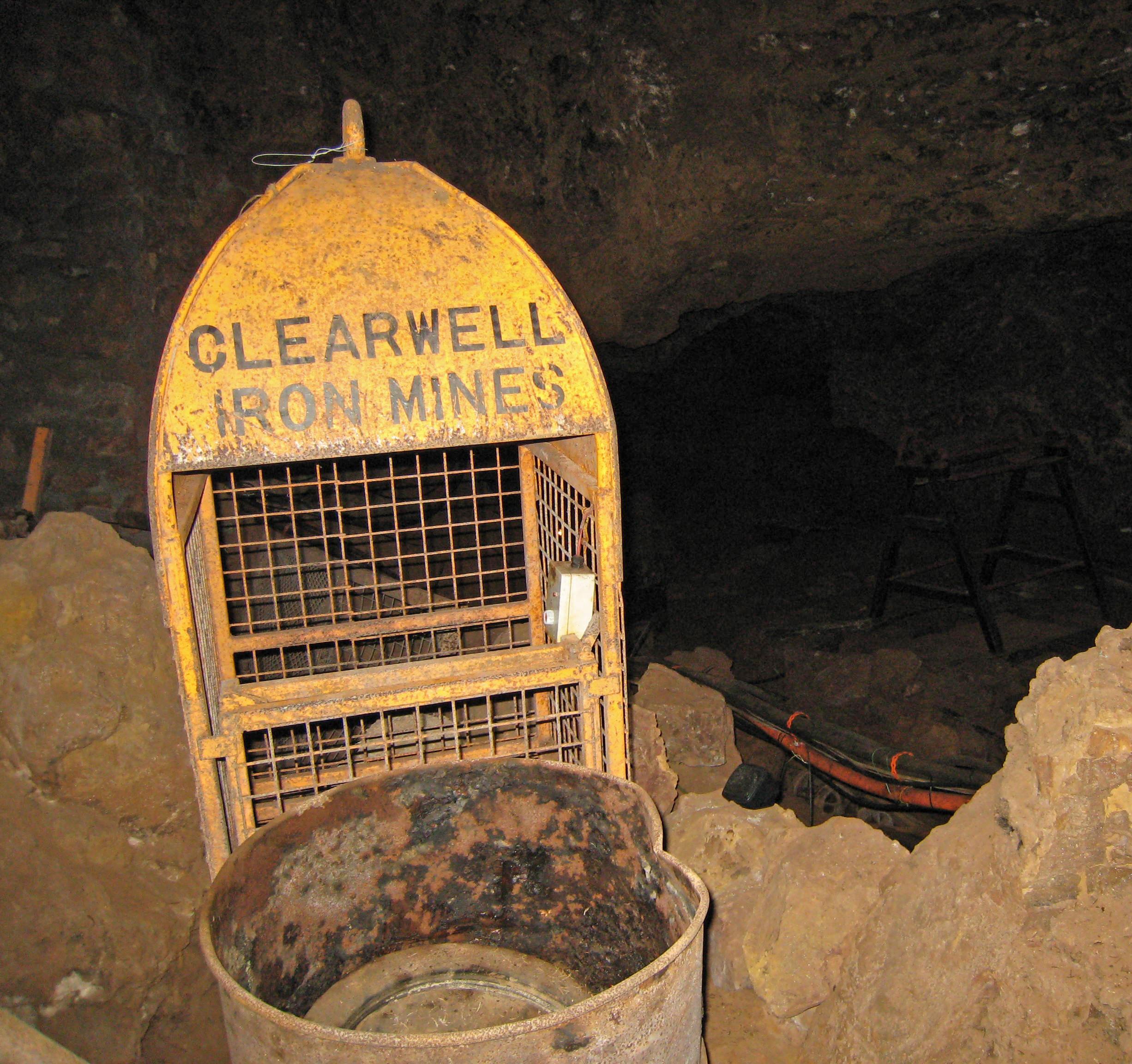
Clearwell Caves
Clearwell Caves, at Clearwell in the Forest of Dean, Gloucestershire, England, is a natural cave system which has been extensively mined for iron ore....
Slade Brook
Slade Brook (grid reference SO564055) is a 3.63-hectare (9.0-acre) biological and geological Site of Special Scientific Interest in Gloucestershire, notified...

Ellwood, Gloucestershire
Ellwood is a hamlet in the Forest of Dean district in Gloucestershire, England. It lies around 3 kilometres (1.9 mi) south-east of Coleford. The hamlet...
Nearby Amenities
Located within 500m of 51.75842,-2.613561Have you been to Trow Green?
Leave your review of Trow Green below (or comments, questions and feedback).